Blawhorn Moss
Downs, Moorland in West Lothian
Scotland
Blawhorn Moss

Blawhorn Moss is a nature reserve located in West Lothian, Scotland. It is situated between the towns of Linlithgow and Broxburn, covering an area of approximately 50 hectares. The site is known for its unique combination of bog, heath, and woodland habitats.
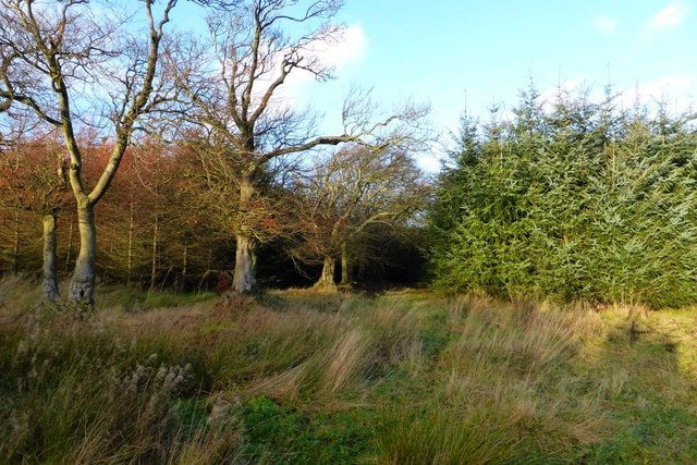
The main feature of Blawhorn Moss is its extensive raised bog, which is one of the largest in central Scotland. The bog is characterized by the presence of sphagnum mosses and other bog plants, forming a wetland habitat that is home to a diverse range of flora and fauna. The reserve also contains areas of dry heath, where heather and gorse thrive, providing additional habitat for various bird species.
Blawhorn Moss is renowned for its importance in terms of biodiversity and conservation. The site is home to a number of rare and endangered species, including the lesser butterfly-orchid and the marsh fritillary butterfly. The reserve also supports a variety of bird species, such as the skylark, stonechat, and meadow pipit.
Visitors to Blawhorn Moss can enjoy a network of footpaths and boardwalks that allow for easy access and exploration of the site. Interpretive panels provide information about the reserve's wildlife and conservation efforts, making it an educational destination for nature enthusiasts and school groups.
Overall, Blawhorn Moss offers a unique and valuable natural environment that is protected and preserved for future generations to enjoy and appreciate.
If you have any feedback on the listing, please let us know in the comments section below.
Blawhorn Moss Images
Images are sourced within 2km of 55.898032/-3.7798072 or Grid Reference NS8868. Thanks to Geograph Open Source API. All images are credited.


![Track to Drumbeg [2]](https://s1.geograph.org.uk/geophotos/04/76/77/4767781_d985454a.jpg)


![Barn Wood [2] Timber footbridge over rivulet on the edge of Blawhorn Moss.](https://s1.geograph.org.uk/geophotos/04/76/77/4767797_ecf231ec.jpg)
![Barn Wood [3]](https://s0.geograph.org.uk/geophotos/04/76/78/4767800_0531d192.jpg)
Blawhorn Moss is located at Grid Ref: NS8868 (Lat: 55.898032, Lng: -3.7798072)
Unitary Authority: West Lothian
Police Authority: The Lothians and Scottish Borders
What 3 Words
///reporters.formless.defected. Near Blackridge, West Lothian
Nearby Locations
Related Wikis

Blawhorn Moss
Blawhorn Moss is a raised bog located to the northwest of the village of Blackridge, about 6 kilometres (3.7 mi) west of Armadale in the council area of...

Blackridge, West Lothian
Blackridge (Scots: Blackrig, Scottish Gaelic: An Druim Dubh) is a small town in the western part of West Lothian, Scotland. The village name dates to 1581...
Westcraigs (1st station) railway station
Westcraigs railway station served the area of West Craigs (Blackridge) in West Lothian, Scotland, from 1862 to 1956 on the Bathgate and Coatbridge Railway...

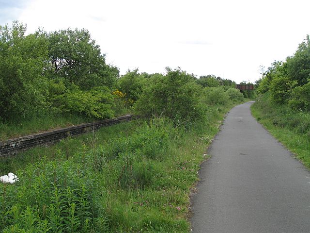
Hillend Loch Railway Path
The Hillend Loch Railway Path, also known as the Airdrie to Bathgate Railway Path, is a rail trail located in central Scotland. The path is approximately...
Nearby Amenities
Located within 500m of 55.898032,-3.7798072Have you been to Blawhorn Moss?
Leave your review of Blawhorn Moss below (or comments, questions and feedback).