Contest Plantation
Downs, Moorland in Somerset Somerset West and Taunton
England
Contest Plantation

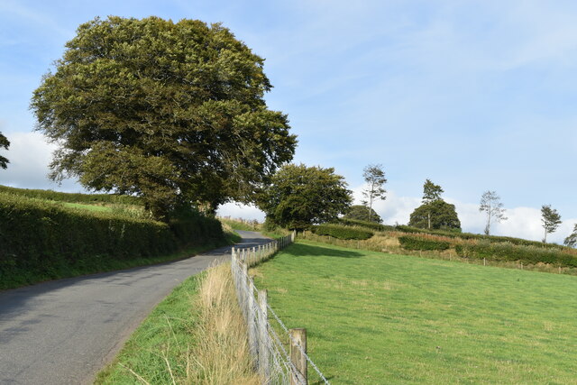
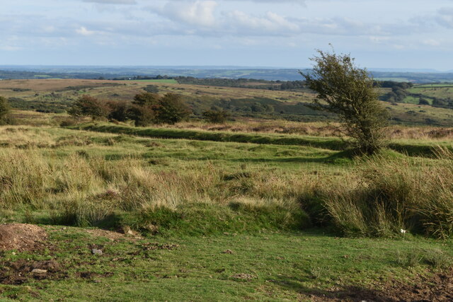
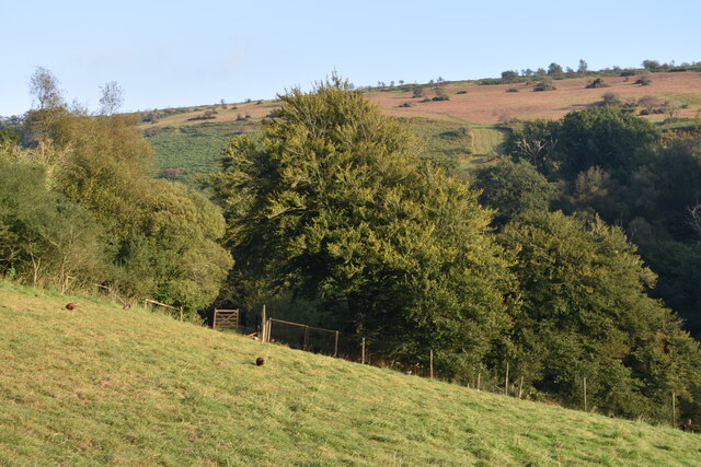
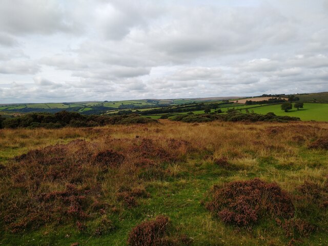
Contest Plantation is a sprawling woodland area located in Somerset, England. Situated within the Downs and Moorland region, it covers a significant portion of the landscape, offering an impressive array of natural features and recreational opportunities.
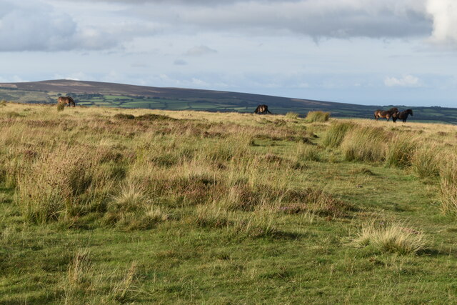
The plantation boasts a diverse range of tree species, including oak, ash, beech, and birch, creating a rich and vibrant ecosystem. This variety of trees provides a habitat for numerous bird species, such as woodpeckers, owls, and thrushes. Additionally, the woodland is home to a variety of small mammals, including foxes, badgers, and rabbits.
Visitors to Contest Plantation can enjoy a multitude of activities. The area is crisscrossed with well-maintained footpaths, making it ideal for walking, jogging, or cycling. There are also designated picnic areas, allowing visitors to soak in the peaceful ambiance and enjoy a meal amidst the natural surroundings.
For those seeking a more adventurous experience, Contest Plantation offers opportunities for birdwatching and nature photography. The tranquil atmosphere and diverse wildlife provide ample subjects for capturing stunning images.
Furthermore, the plantation is a popular destination for educational visits and school trips. The woodland offers an excellent learning environment, allowing students to explore and understand the importance of preserving natural habitats.
Overall, Contest Plantation is a remarkable natural treasure in Somerset's Downs and Moorland region. With its diverse flora and fauna, recreational activities, and educational value, it is a must-visit destination for nature enthusiasts and those seeking a peaceful retreat in the heart of the English countryside.
If you have any feedback on the listing, please let us know in the comments section below.
Contest Plantation Images
Images are sourced within 2km of 51.084137/-3.5890212 or Grid Reference SS8832. Thanks to Geograph Open Source API. All images are credited.


Contest Plantation is located at Grid Ref: SS8832 (Lat: 51.084137, Lng: -3.5890212)
Administrative County: Somerset
District: Somerset West and Taunton
Police Authority: Avon and Somerset
What 3 Words
///full.hubcaps.orbit. Near Dulverton, Somerset
Nearby Locations
Related Wikis

Caratacus Stone
The Caratacus Stone, sometimes known as the Caractacus Stone, is an inscribed stone on Exmoor in Somerset, England. It is thought to date from the 6th...

South Exmoor SSSI
South Exmoor (grid reference SS880340) is a 3132.7 hectare (7742.3 acre) biological Site of Special Scientific Interest in Devon and Somerset, England...

Exmoor
Exmoor is loosely defined as an area of hilly open moorland in west Somerset and north Devon in South West England. It is named after the River Exe, the...

Tarr Steps
The Tarr Steps is a clapper bridge across the River Barle in the Exmoor National Park, Somerset, England. They are located in a national nature reserve...

Ashwick House, Dulverton
not to be confused with the 17th century Ashwick Court in eastern Somerset.Ashwick House is an Edwardian mansion in Ashwick, four miles northwest of Dulverton...
Winsford, Somerset
Winsford is a village and civil parish in Somerset, England, located about 5 miles (8 km) north-west of Dulverton. It is within the borders of the Exmoor...

Garratts Wood
Garratts Wood is a woodland in Somerset, England, near the village of Winsford. It covers a total area of 1.11 hectares (2.74 acres). It is owned and managed...
Brewer's Castle
Brewer's Castle is a defended Iron Age settlement in the West Somerset district of Somerset, England. The hill fort is situated approximately 2 miles...
Have you been to Contest Plantation?
Leave your review of Contest Plantation below (or comments, questions and feedback).