Aldonie Plantation
Wood, Forest in Perthshire
Scotland
Aldonie Plantation

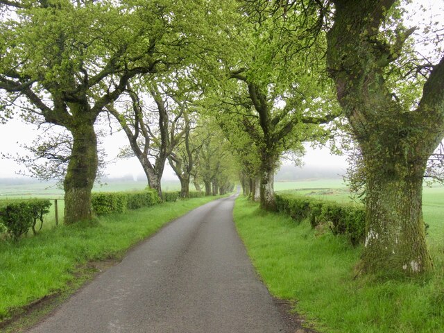
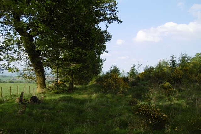
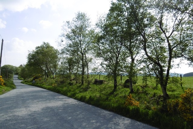
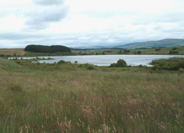
Aldonie Plantation is a picturesque woodland area located in Perthshire, Scotland. Nestled amidst the stunning countryside, this plantation covers a sprawling area, offering visitors a serene and enchanting experience in the heart of nature.
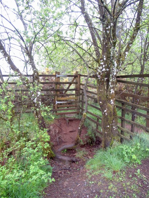
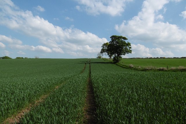
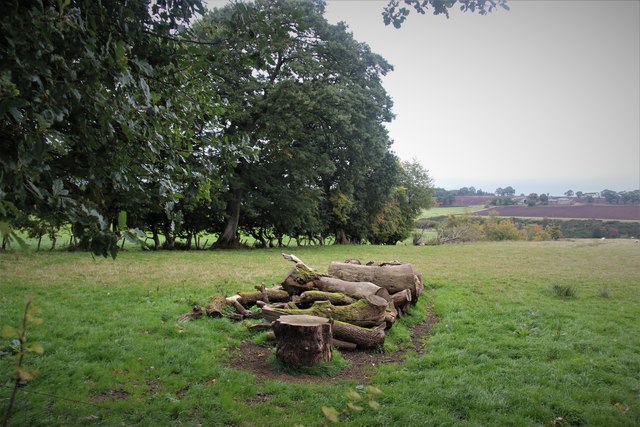
The plantation is primarily composed of various types of trees, creating a diverse and vibrant ecosystem. Tall, ancient oaks stand proudly alongside towering Scots pines, while beech and birch trees provide a colorful display during the changing seasons. The lush greenery is complemented by a rich understory of ferns, mosses, and wildflowers, adding to the plantation's natural charm.
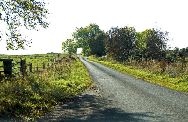
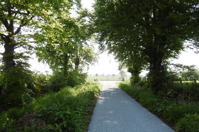
Aldonie Plantation offers a range of recreational activities for visitors to enjoy. There are numerous walking trails that wind through the woodland, allowing visitors to explore the plantation at their own pace. These paths are well-maintained and provide easy access for all individuals, including those with mobility challenges.
The plantation is also home to a diverse array of wildlife. Visitors may catch glimpses of red squirrels darting through the trees, or hear the melodic songs of various bird species. Nature enthusiasts can observe and appreciate the abundant flora and fauna that call Aldonie Plantation their home.
Additionally, the plantation has several designated picnic areas, making it an ideal spot for families or groups to relax and enjoy a meal amidst the peaceful surroundings. Visitors can bring their own food or make use of the conveniently located amenities, such as picnic benches and waste disposal facilities.
Overall, Aldonie Plantation in Perthshire is a captivating woodland retreat that offers a tranquil escape from the hustle and bustle of everyday life. Its natural beauty, diverse wildlife, and recreational opportunities make it a must-visit destination for nature lovers and outdoor enthusiasts alike.
If you have any feedback on the listing, please let us know in the comments section below.
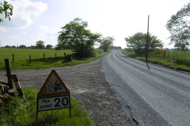
Aldonie Plantation Images
Images are sourced within 2km of 56.304982/-3.8507703 or Grid Reference NN8514. Thanks to Geograph Open Source API. All images are credited.


Aldonie Plantation is located at Grid Ref: NN8514 (Lat: 56.304982, Lng: -3.8507703)
Unitary Authority: Perth and Kinross
Police Authority: Tayside
What 3 Words
///plodding.slyly.reclaim. Near Crieff, Perth & Kinross
Nearby Locations
Related Wikis

Muthill
Muthill, pronounced [ˈmjuːθɪl], is a village in Perth and Kinross, Perthshire, Scotland. The name derives from Scottish Gaelic Maothail meaning “soft-ground...

Ardoch, Perth and Kinross
Ardoch is a community in Perth and Kinross in Scotland, the largest population of which is in the village of Braco, west-southwest of Perth. == Geography... ==
Black Hill Roman Camps
Black Hill Roman Camps are two Roman camps that are part of an extensive complex of Roman military sites centred around the fort at Ardoch, Perth and...
Drummond Castle
Drummond Castle is located in Perthshire, Scotland. The castle is known for its gardens, described by Historic Environment Scotland as "the best example...
Pond of Drummond
Pond of Drummond is a small shallow freshwater artificial loch in the grounds of Drummond Castle, and is orientated on an east to west orientation, being...
Muthill railway station
Muthill railway station served the village of Muthill in Scotland. The station is now the premises of James Haggart & Sons LTD (A potato grower and exporter...
South Tayside Goose Roosts
South Tayside Goose Roosts is a composite wetland site to the west of Perth in central Scotland, covering a total of 331 hectares, which has been protected...
Braco, Perth and Kinross
Braco ( BRAY-koh) is a village in Perth and Kinross, Scotland, with a population of 515. It is located 5 miles (8 kilometres) north of Dunblane towards...
Nearby Amenities
Located within 500m of 56.304982,-3.8507703Have you been to Aldonie Plantation?
Leave your review of Aldonie Plantation below (or comments, questions and feedback).