Struthill Wood
Wood, Forest in Perthshire
Scotland
Struthill Wood

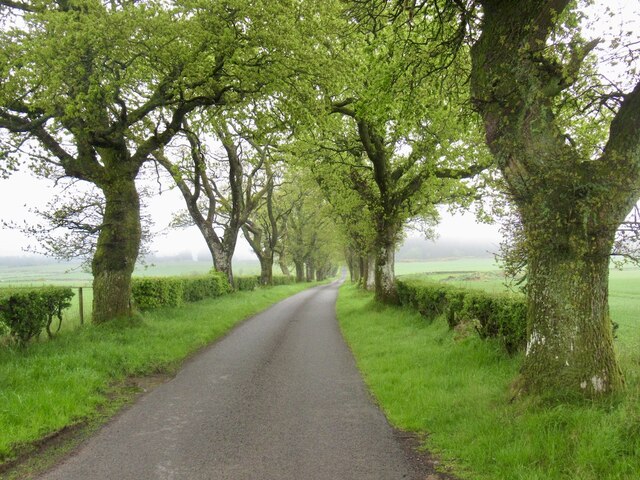
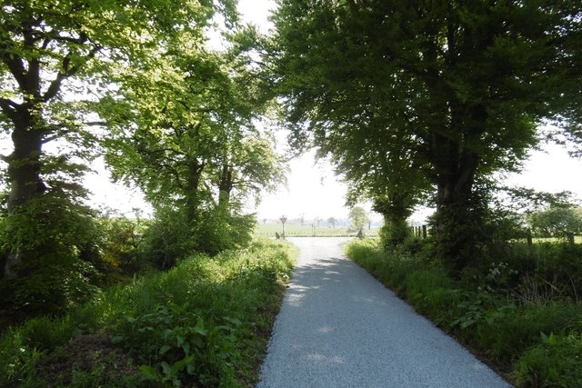
Struthill Wood is a stunning woodland located in the picturesque region of Perthshire, Scotland. Situated just outside the charming village of Auchterarder, the wood covers a vast area of approximately 100 acres, making it a popular destination for nature lovers and outdoor enthusiasts.
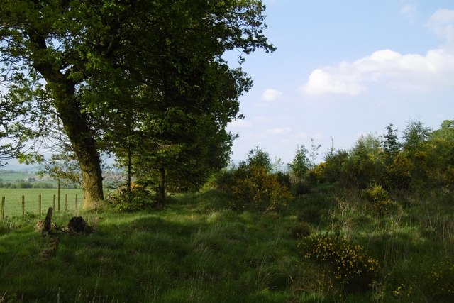
The woodland features a diverse range of tree species, including oak, birch, and pine, creating a rich and vibrant ecosystem. The dense canopy provides a haven for various bird species, such as woodpeckers, owls, and finches, making it a paradise for birdwatchers.
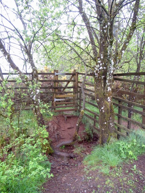
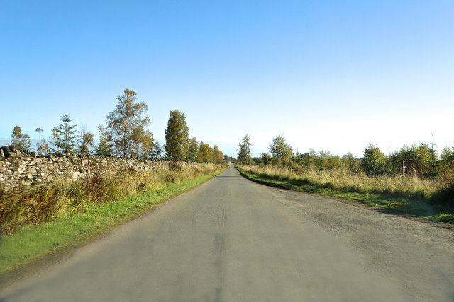
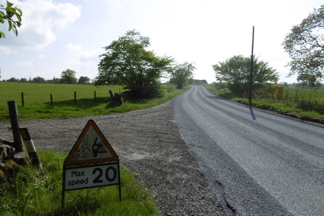
A network of well-maintained trails winds through the wood, offering visitors the opportunity to explore its beauty at their own pace. These paths meander through enchanting glades and alongside babbling brooks, creating a tranquil and serene atmosphere.
Struthill Wood is also renowned for its abundant wildlife. Visitors may be lucky enough to spot deer, rabbits, and squirrels as they traverse through the forest. The wood is particularly breathtaking during the spring and summer months when wildflowers carpet the forest floor, adding bursts of color to the already picturesque landscape.
For those seeking a peaceful retreat, there are several picnic areas dotted throughout the wood, providing an idyllic spot to relax and soak in the natural surroundings. Additionally, Struthill Wood is home to a small playground, making it an ideal destination for families with children.
Overall, Struthill Wood is a hidden gem in Perthshire, offering a tranquil escape from the hustle and bustle of everyday life. Whether you are an avid hiker, wildlife enthusiast, or simply someone looking for a peaceful spot to connect with nature, Struthill Wood is a must-visit destination.
If you have any feedback on the listing, please let us know in the comments section below.
Struthill Wood Images
Images are sourced within 2km of 56.311819/-3.858635 or Grid Reference NN8514. Thanks to Geograph Open Source API. All images are credited.


Struthill Wood is located at Grid Ref: NN8514 (Lat: 56.311819, Lng: -3.858635)
Unitary Authority: Perth and Kinross
Police Authority: Tayside
What 3 Words
///parked.dated.daunting. Near Crieff, Perth & Kinross
Nearby Locations
Related Wikis

Muthill
Muthill, pronounced [ˈmjuːθɪl], is a village in Perth and Kinross, Perthshire, Scotland. The name derives from Scottish Gaelic Maothail meaning “soft-ground...
Drummond Castle
Drummond Castle is located in Perthshire, Scotland. The castle is known for its gardens, described by Historic Environment Scotland as "the best example...

Pond of Drummond
Pond of Drummond is a small shallow freshwater artificial loch in the grounds of Drummond Castle, and is orientated on an east to west orientation, being...
Ardoch, Perth and Kinross
Ardoch is a community in Perth and Kinross in Scotland, the largest population of which is in the village of Braco, west-southwest of Perth. == Geography... ==
Nearby Amenities
Located within 500m of 56.311819,-3.858635Have you been to Struthill Wood?
Leave your review of Struthill Wood below (or comments, questions and feedback).