Scaurbraehead Plantation

Wood, Forest in Dumfriesshire

Scotland

Scaurbraehead Plantation

Millennium Cairn near Stepends Viewed from the A702.
Millennium Cairn near Stepends Credit: Billy McCrorie

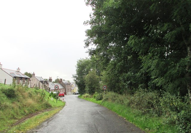
Scaurbraehead Plantation is a picturesque woodland located in Dumfriesshire, Scotland. Covering an area of approximately 200 acres, it is renowned for its scenic beauty and diverse flora and fauna. The plantation is situated near the village of Scaurbraehead, providing a natural haven for both locals and tourists alike.

The woodland is primarily composed of mixed broadleaf trees, including oak, beech, and birch, which create a vibrant and dynamic landscape throughout the seasons. The dense canopy provides shade and shelter for a variety of wildlife, making it a popular destination for nature enthusiasts and birdwatchers.

Tranquil walking trails wind their way through the plantation, allowing visitors to immerse themselves in the serene ambiance and explore its hidden gems. Along the trails, one can encounter a wide range of wildflowers, ferns, and mosses, adding to the allure of the woodland.

Scaurbraehead Plantation also boasts a diverse array of wildlife. Bird species such as woodpeckers, buzzards, and owls can be spotted, while the undergrowth supports numerous small mammals and insects. It is not uncommon to catch a glimpse of red squirrels darting among the trees or deer grazing in the open meadows.

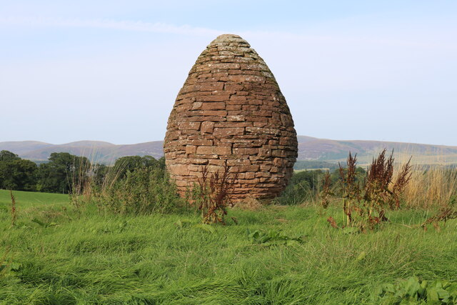
In addition to its natural beauty, Scaurbraehead Plantation holds historical significance. The remains of an ancient fortification, dating back to the Iron Age, can be found within its boundaries. This adds a touch of intrigue and fascination for those interested in the area's rich history.

Overall, Scaurbraehead Plantation offers a captivating blend of natural beauty, biodiversity, and cultural heritage, making it a must-visit destination for nature lovers and history enthusiasts alike.

If you have any feedback on the listing, please let us know in the comments section below.

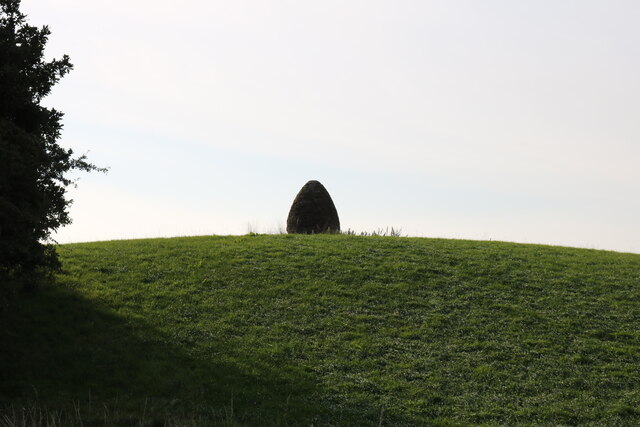
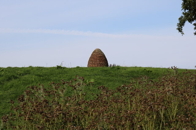
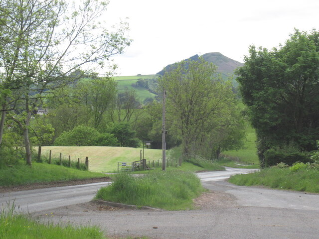
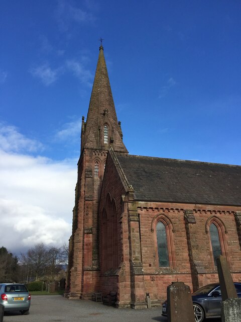
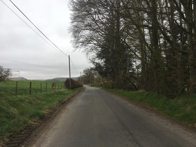
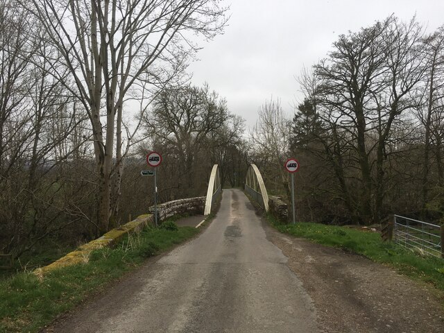
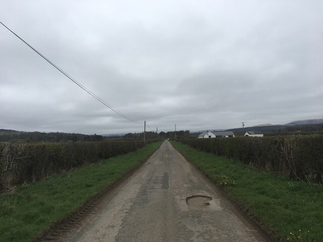
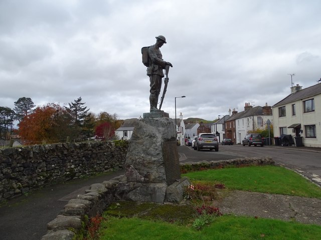
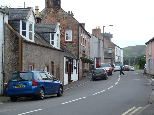
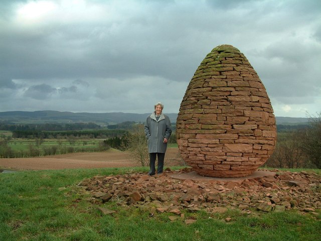
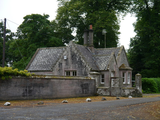
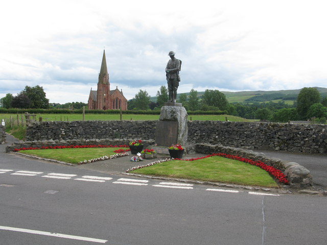
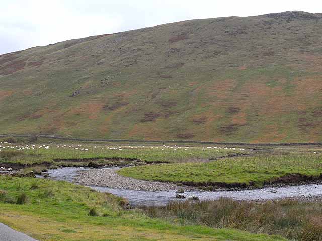
Scaurbraehead Plantation Images

Images are sourced within 2km of 55.225564/-3.8059405 or Grid Reference NX8593. Thanks to Geograph Open Source API. All images are credited.

Millennium Cairn near Stepends Viewed from the A702.
Millennium Cairn near Stepends
Viewed from the A702.
Millennium Cairn near Stepends Viewed from a lay-by on the A702.
Millennium Cairn near Stepends
Viewed from a lay-by on the A702.
Millennium Cairn near Stepends Just off the A702 at Stepends Farm.
Millennium Cairn near Stepends
Just off the A702 at Stepends Farm.
Layby by Stepends A viewpoint for the Millennium Cairn which is behind me.
Layby by Stepends
A viewpoint for the Millennium Cairn which is behind me.
Parish Church of Penpont, Keir and Tynron
Minor road near Keirmill
Road over Keir Bridge
Minor road near Morton Holm
Penpont War Memorial The War Memorial in Penpont.
Penpont War Memorial
The War Memorial in Penpont.
The A702 Edinburgh Road passing through Penpont
Penpont Cairn Standing prominently on a small hill outside his home village of Penpont, this deceptively simple yet powerful large sandstone egg standing in the middle of a cattle pasture was designed by local sculptor Andy Goldsworthy to mark the start of the new millennium.
Penpont Cairn
Standing prominently on a small hill outside his home village of Penpont, this deceptively simple yet powerful large sandstone egg standing in the middle of a cattle pasture was designed by local sculptor Andy Goldsworthy to mark the start of the new millennium.
Entrance To Capenoch Estate An entrance to the estate, just west of Penpont.
Entrance To Capenoch Estate
An entrance to the estate, just west of Penpont.
Entering Penpont on Marrburn Road
Ordnance Survey Flush Bracket G314 This can be found on the wall of a building at Saw Mills.
For more detail see : <span class="nowrap"><a title="http://www.bench-marks.org.uk/bm20250" rel="nofollow ugc noopener" href="http://www.bench-marks.org.uk/bm20250">Link</a><img style="margin-left:2px;" alt="External link" title="External link - shift click to open in new window" src="https://s1.geograph.org.uk/img/external.png" width="10" height="10"/></span>
Ordnance Survey Flush Bracket G314
This can be found on the wall of a building at Saw Mills. For more detail see : LinkExternal link
Ordnance Survey Flush Bracket G316 This can be found on the wall of a former church (now a private dwelling) in Burnhead.
For more detail see : <span class="nowrap"><a title="http://www.bench-marks.org.uk/bm20252" rel="nofollow ugc noopener" href="http://www.bench-marks.org.uk/bm20252">Link</a><img style="margin-left:2px;" alt="External link" title="External link - shift click to open in new window" src="https://s1.geograph.org.uk/img/external.png" width="10" height="10"/></span>
Ordnance Survey Flush Bracket G316
This can be found on the wall of a former church (now a private dwelling) in Burnhead. For more detail see : LinkExternal link
Penpont Parish Church The local parish church in a summer view.
Penpont Parish Church
The local parish church in a summer view.
Penpont War Memorial The Parish Church of Penpont, Keir and Tynron is in the background.
Penpont War Memorial
The Parish Church of Penpont, Keir and Tynron is in the background.
Main Street, Penpont
Show me another place!

Scaurbraehead Plantation is located at Grid Ref: NX8593 (Lat: 55.225564, Lng: -3.8059405)

Unitary Authority: Dumfries and Galloway

Police Authority: Dumfries and Galloway

What 3 Words

///plates.handsets.seats. Near Thornhill, Dumfries & Galloway

Related Wikis

Penpont

Penpont is a village about 2 miles (3 km) west of Thornhill in Dumfriesshire, in the Dumfries and Galloway region of Scotland. It is near the confluence...

Scaur Water

Scaur Water is a river which rises near Polskeoch in the Scaur hills in the region of Dumfries and Galloway, Scotland. It flows from its source near Sanquhar...

Keir, Dumfries and Galloway

Keir is a civil parish, containing the small village of Keir Mill, in Dumfries and Galloway, Scotland, one mile south of Penpont. It was founded in the...

Shinnel Water

Shinnel Water, also spelt Shinnell, is a river in the region of Dumfries and Galloway, Scotland. It rises in the Scaur hills of Tynron Parish in the Southern...

Nearby Amenities

Located within 500m of 55.225564,-3.8059405
Power: pole
Lat/Long: 55.2290399/-3.8080448
Power: pole
Lat/Long: 55.2288686/-3.8093108
Power: pole
Lat/Long: 55.2286896/-3.8106465
Power: pole
Lat/Long: 55.2288471/-3.8106653
Power: pole
Lat/Long: 55.2276632/-3.8084364
Power: pole
Lat/Long: 55.2269503/-3.8087341
Power: pole
Lat/Long: 55.2255139/-3.8092974
Power: pole
Lat/Long: 55.224801/-3.809579
Power: pole
Lat/Long: 55.2242533/-3.8086134
Power: pole
Lat/Long: 55.2236903/-3.8076317
Power: pole
Lat/Long: 55.2231564/-3.8067198
Power: pole
Lat/Long: 55.2226347/-3.8057864
Power: pole
Lat/Long: 55.222064/-3.8048181
Power: pole
Lat/Long: 55.2215377/-3.8038659
Location Transition: yes
Power: pole
Lat/Long: 55.2286927/-3.8080072
Power: pole
Lat/Long: 55.2291561/-3.8081145
Power: pole
Lat/Long: 55.2250396/-3.7993571
Power: pole
Lat/Long: 55.2255751/-3.8005453
Power: pole
Lat/Long: 55.226138/-3.8015217
Power: pole
Lat/Long: 55.2245883/-3.7993303
Power: pole
Lat/Long: 55.2255383/-3.8006446
Power: pole
Lat/Long: 55.2261013/-3.8016424
Power: pole
Lat/Long: 55.2267973/-3.8029191
Power: pole
Lat/Long: 55.2271247/-3.803477
Power: pole
Lat/Long: 55.2278529/-3.8048047
Power: pole
Lat/Long: 55.2285213/-3.8059849
Power: pole
Lat/Long: 55.2292005/-3.8071999
Power: pole
Lat/Long: 55.2267912/-3.8026965
Power: pole
Lat/Long: 55.227345/-3.803705
Power: pole
Lat/Long: 55.2286208/-3.8059232
Location Transition: yes
Power: pole
Lat/Long: 55.2292617/-3.8070577
Power: pole
Lat/Long: 55.2293749/-3.8074628
Power: pole
Lat/Long: 55.2294299/-3.8075808
Power: pole
Lat/Long: 55.2246477/-3.8023158
Power: pole
Lat/Long: 55.2251692/-3.8013123
The data included in this document is from www.openstreetmap.org. The data is made available under ODbL.

Have you been to Scaurbraehead Plantation?

Leave your review of Scaurbraehead Plantation below (or comments, questions and feedback).