Penfillan Wood
Wood, Forest in Dumfriesshire
Scotland
Penfillan Wood
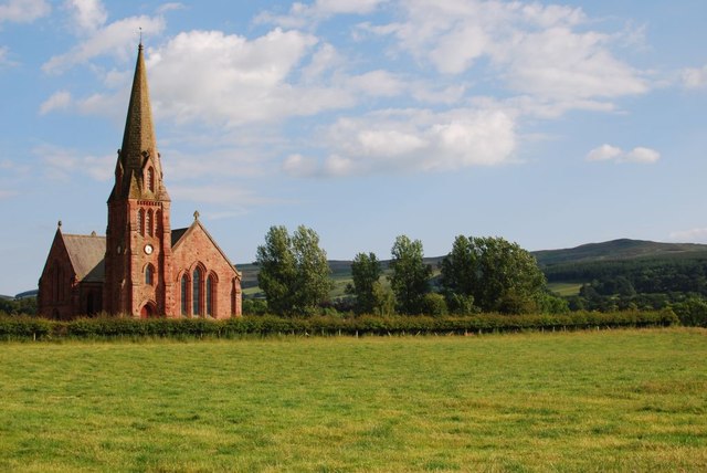
Penfillan Wood is a picturesque forest located in Dumfriesshire, Scotland. Covering an area of approximately 500 acres, this enchanting woodland is a haven for nature lovers and outdoor enthusiasts alike.
The wood features a diverse range of tree species, including oak, birch, beech, and Scots pine, which create a rich and varied ecosystem. The dense canopy formed by these trees provides a cool and sheltered environment, perfect for leisurely walks and wildlife spotting.
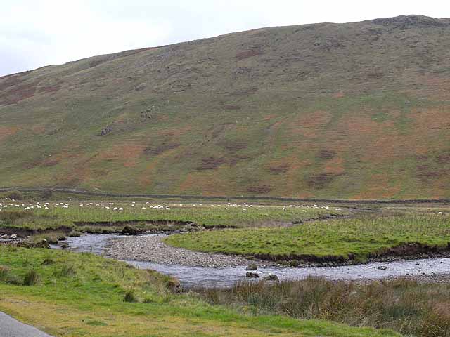
Traversed by a network of well-maintained trails, Penfillan Wood offers visitors an opportunity to explore its beauty at their own pace. These paths meander through the forest, leading to secluded clearings, babbling brooks, and hidden ponds, adding to the sense of tranquility and seclusion.
The wood is home to a wide array of wildlife, including red squirrels, roe deer, and a variety of bird species such as woodpeckers and warblers. Nature enthusiasts will delight in the chance to witness these creatures in their natural habitat, making Penfillan Wood a popular spot for birdwatching and wildlife photography.
In addition to its natural beauty, Penfillan Wood also has historical significance. The remains of an ancient hill fort can be found within its boundaries, providing a glimpse into the area's past. This historical feature adds an extra layer of intrigue and fascination for visitors.
Overall, Penfillan Wood is a captivating destination that offers a harmonious blend of natural beauty and historical heritage. Whether you are seeking a peaceful stroll, a chance to reconnect with nature, or an opportunity to learn about the region's history, this enchanting forest has something to offer for everyone.
If you have any feedback on the listing, please let us know in the comments section below.
Penfillan Wood Images
Images are sourced within 2km of 55.218841/-3.8090001 or Grid Reference NX8593. Thanks to Geograph Open Source API. All images are credited.


Penfillan Wood is located at Grid Ref: NX8593 (Lat: 55.218841, Lng: -3.8090001)
Unitary Authority: Dumfries and Galloway
Police Authority: Dumfries and Galloway
What 3 Words
///overtones.burns.computer. Near Thornhill, Dumfries & Galloway
Nearby Locations
Related Wikis

Keir, Dumfries and Galloway
Keir is a civil parish, containing the small village of Keir Mill, in Dumfries and Galloway, Scotland, one mile south of Penpont. It was founded in the...

Penpont
Penpont is a village about 2 miles (3 km) west of Thornhill in Dumfriesshire, in the Dumfries and Galloway region of Scotland. It is near the confluence...

Shinnel Water
Shinnel Water, also spelt Shinnell, is a river in the region of Dumfries and Galloway, Scotland. It rises in the Scaur hills of Tynron Parish in the Southern...
Scaur Water
Scaur Water is a river which rises near Polskeoch in the Scaur hills in the region of Dumfries and Galloway, Scotland. It flows from its source near Sanquhar...
Dalgarnock
Dalgarnock, Dalgarno, Dalgarnoc was an ancient parish and a once considerable sized village in the Nithsdale area of Dumfries and Galloway, Scotland,...

Nith Bridge cross
The Nith Bridge cross (also known as the Boatford cross) is a sculptured Anglo-Saxon cross, near the village of Thornhill, Dumfries and Galloway. It is...

Tynron Doon
Tynron Doon is a multivallate Iron Age hill fort outside the village of Tynron in Dumfries and Galloway, Scotland. It was occupied on and off from the...
Grennan Hill
Grennan Hill is the site of an Iron Age hill fort outside Penpont in Dumfries and Galloway, Scotland. == References == Schedule "Grennan Hill, NMRS Number...
Nearby Amenities
Located within 500m of 55.218841,-3.8090001Have you been to Penfillan Wood?
Leave your review of Penfillan Wood below (or comments, questions and feedback).