Keir Mill

Settlement in Dumfriesshire

Scotland

Keir Mill

Layby by Stepends A viewpoint for the Millennium Cairn which is behind me.
Layby by Stepends Credit: Richard Webb

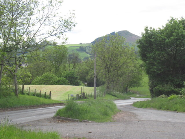
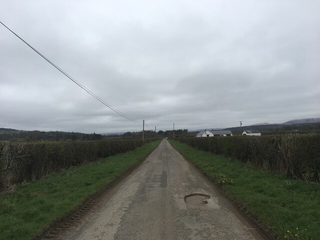
Keir Mill is a small village located in the county of Dumfriesshire, Scotland. Situated on the banks of the River Nith, this rural settlement offers a picturesque and tranquil setting for its residents and visitors alike.

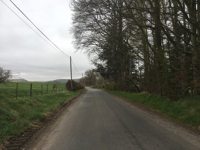
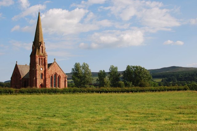
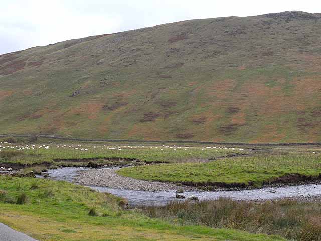
The village is surrounded by rolling hills and lush greenery, providing stunning views of the Scottish countryside. The nearby Keir Estate adds to the charm of the area, with its expansive woodlands and historic buildings.

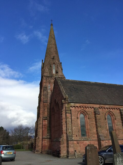
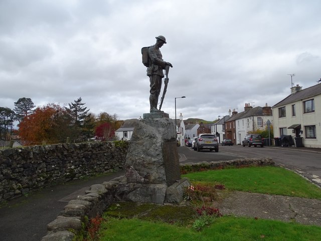
Keir Mill boasts a rich history, dating back centuries. It was once a thriving hub for the local milling industry, with several mills operating along the river. Although the mills are no longer in operation, their remnants can still be seen, evoking a sense of the village's industrial past.

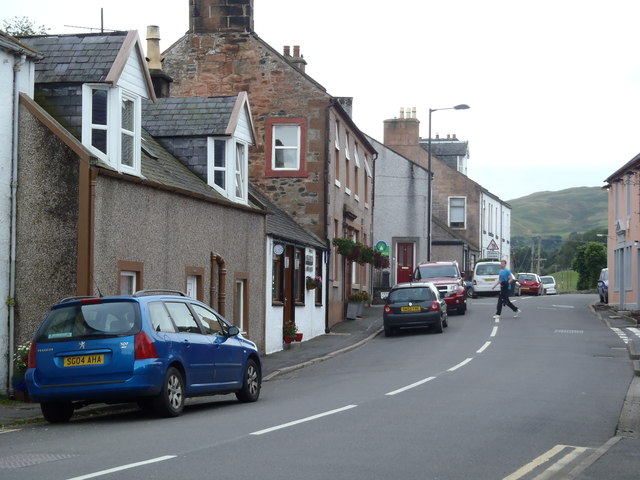
Despite its small size, Keir Mill offers a range of amenities to cater to its residents. These include a local pub, a small convenience store, and a primary school. For additional services, residents can easily access nearby towns such as Thornhill or Dumfries, which offer a wider range of facilities including supermarkets, healthcare centers, and secondary schools.

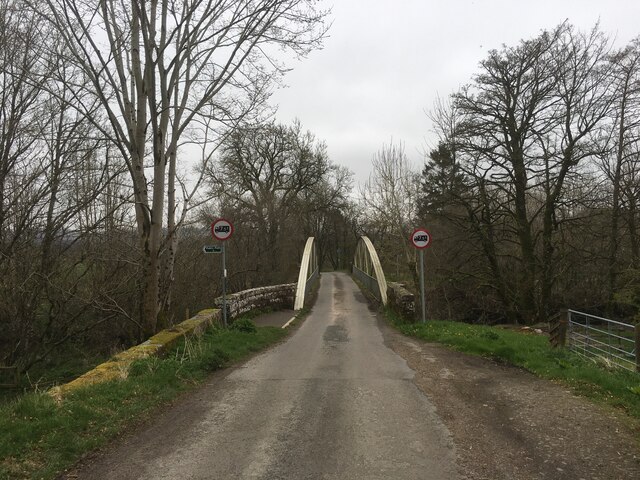
The village is also an ideal location for outdoor enthusiasts, with numerous walking and cycling trails in the area. Fishing is a popular activity on the River Nith, attracting anglers from far and wide. Keir Mill is also within close proximity to the Lowther Hills, providing opportunities for hiking, skiing, and other outdoor pursuits.

Overall, Keir Mill is a charming and peaceful village, offering a close-knit community and a stunning natural landscape for residents and visitors to enjoy.

If you have any feedback on the listing, please let us know in the comments section below.
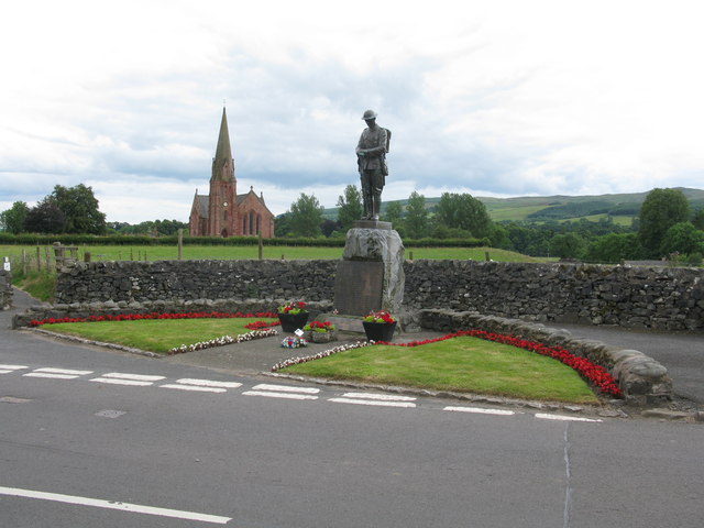
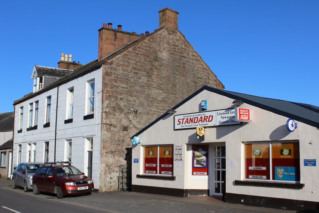
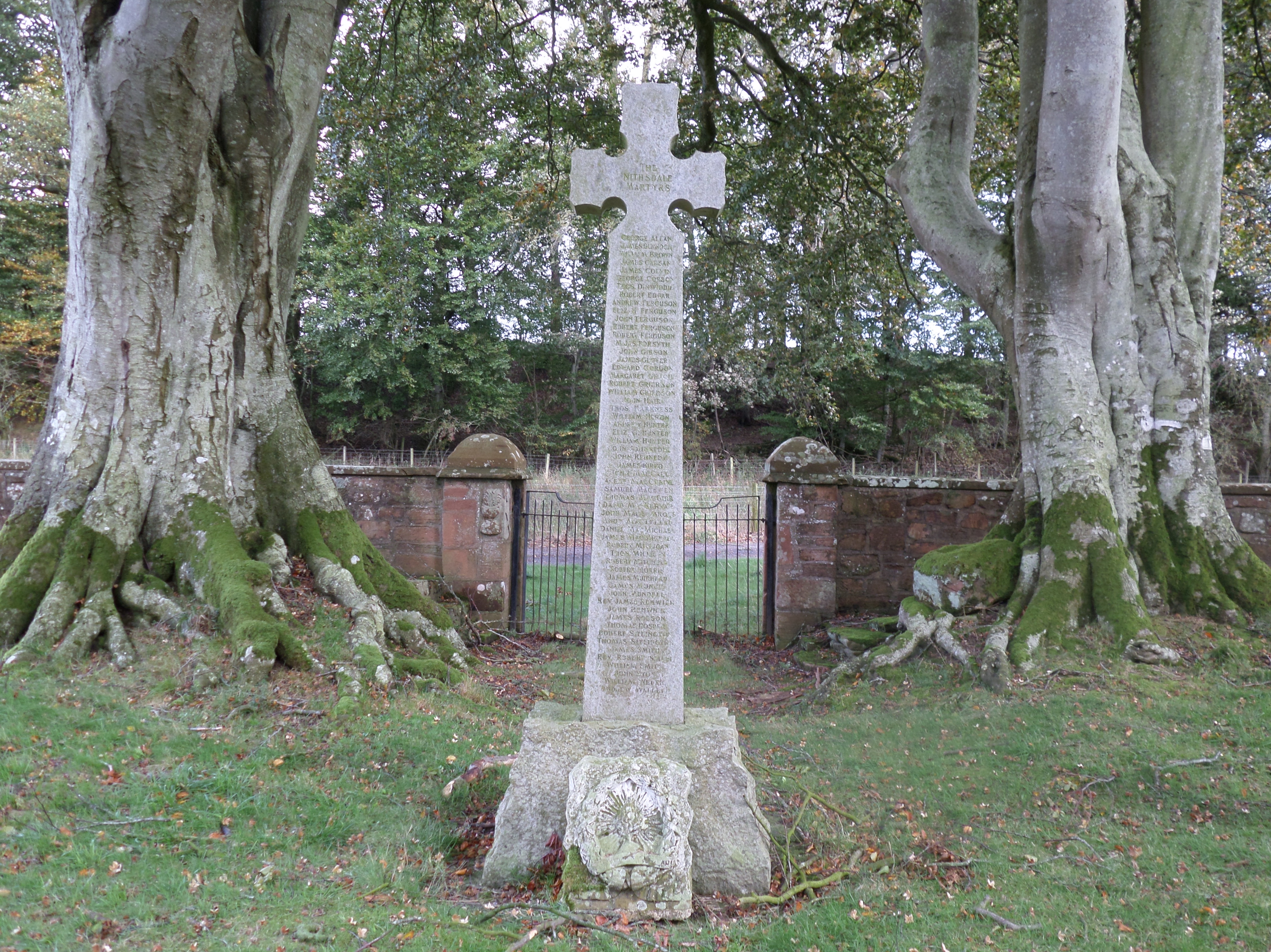
Keir Mill Images

Images are sourced within 2km of 55.218893/-3.794839 or Grid Reference NX8593. Thanks to Geograph Open Source API. All images are credited.

Layby by Stepends A viewpoint for the Millennium Cairn which is behind me.
Layby by Stepends
A viewpoint for the Millennium Cairn which is behind me.
Parish Church of Penpont, Keir and Tynron
Minor road near Porterstown Farm
Minor road near Keirmill
Road over Keir Bridge
Minor road near Morton Holm
Penpont War Memorial The War Memorial in Penpont.
Penpont War Memorial
The War Memorial in Penpont.
The A702 Edinburgh Road passing through Penpont
Penpont Parish Church The local parish church in a summer view.
Penpont Parish Church
The local parish church in a summer view.
Penpont War Memorial The Parish Church of Penpont, Keir and Tynron is in the background.
Penpont War Memorial
The Parish Church of Penpont, Keir and Tynron is in the background.
Main Street, Penpont
Penpont War Memorial
Penpont War Memorial & Parish Church of Penpont, Keir & Tynron
Penpont Primary School Category C-listed. Late 19th century.
Penpont Primary School
Category C-listed. Late 19th century.
Parish Church of Penpont, Keir & Tynron Category B-listed. Built 1867. Architect Charles Howitt of Drumlanrig Estate.
Parish Church of Penpont, Keir & Tynron
Category B-listed. Built 1867. Architect Charles Howitt of Drumlanrig Estate.
Graveyard at Parish Church of Penpont, Keir & Tynron
Millennium Cairn near Stepends Sculpture by Andy Goldsworthy
Millennium Cairn near Stepends
Sculpture by Andy Goldsworthy
Road to Thornhill at Stepends
Show me another place!

Keir Mill is located at Grid Ref: NX8593 (Lat: 55.218893, Lng: -3.794839)

Unitary Authority: Dumfries and Galloway

Police Authority: Dumfries and Galloway

What 3 Words

///ghost.workbench.lightly. Near Thornhill, Dumfries & Galloway

Related Wikis

Keir, Dumfries and Galloway

Keir is a civil parish, containing the small village of Keir Mill, in Dumfries and Galloway, Scotland, one mile south of Penpont. It was founded in the...

Scaur Water

Scaur Water is a river which rises near Polskeoch in the Scaur hills in the region of Dumfries and Galloway, Scotland. It flows from its source near Sanquhar...

Penpont

Penpont is a village about 2 miles (3 km) west of Thornhill in Dumfriesshire, in the Dumfries and Galloway region of Scotland. It is near the confluence...

Dalgarnock

Dalgarnock, Dalgarno, Dalgarnoc was an ancient parish and a once considerable sized village in the Nithsdale area of Dumfries and Galloway, Scotland,...

Nearby Amenities

Located within 500m of 55.218893,-3.794839
Bus Stop
Village
Naptan AtcoCode: 680000128111
Naptan Bearing: NW
Naptan BusStopType: CUS
Naptan CommonName: Village
Naptan Indicator: at post box
Naptan Landmark: Mortonhall Road
Naptan NaptanCode: 34232548
Naptan Notes: none
Naptan Street: Main Street
Naptan Verified: no
Source: naptan_import
Lat/Long: 55.2189421/-3.7950052
Bus Stop
Village
Naptan AtcoCode: 680000128222
Naptan Bearing: SE
Naptan BusStopType: CUS
Naptan CommonName: Village
Naptan Indicator: opp post box
Naptan Landmark: Mortonhall Road
Naptan NaptanCode: 34232549
Naptan Notes: none
Naptan Street: Main Street
Naptan Verified: no
Source: naptan_import
Lat/Long: 55.2189983/-3.7948997
Post Box
Ref: DG3 137
Lat/Long: 55.2185728/-3.7944612
Keir Mill
Name En: Keir Mill
Name Gd: Cathair
Place: hamlet
Lat/Long: 55.2189387/-3.7933975
War Memorial
Historic: memorial
Lat/Long: 55.2195075/-3.7956022
Power: pole
Lat/Long: 55.2197125/-3.7926838
Power: pole
Lat/Long: 55.2152981/-3.7944514
Power: pole
Lat/Long: 55.2147626/-3.7941644
Power: pole
Lat/Long: 55.2167854/-3.7923914
Power: pole
Lat/Long: 55.2161933/-3.7937298
Power: pole
Lat/Long: 55.2146677/-3.7971497
Power: pole
Lat/Long: 55.2152952/-3.7957658
Power: pole
Lat/Long: 55.2156352/-3.7949596
Power: pole
Lat/Long: 55.2159163/-3.7947437
Power: pole
Lat/Long: 55.2165054/-3.7950414
Power: pole
Lat/Long: 55.216992/-3.795889
Power: pole
Lat/Long: 55.2204362/-3.8019428
Power: pole
Lat/Long: 55.2198854/-3.8009799
Power: pole
Lat/Long: 55.2194019/-3.8001215
Power: pole
Lat/Long: 55.2189123/-3.7992257
Power: pole
Lat/Long: 55.2184334/-3.7984264
Power: pole
Lat/Long: 55.217959/-3.7975708
Power: pole
Lat/Long: 55.2174602/-3.7967098
Power: pole
Lat/Long: 55.2217397/-3.7954438
Power: pole
Lat/Long: 55.2215087/-3.7889582
Power: pole
Lat/Long: 55.2210084/-3.7921768
Power: pole
Lat/Long: 55.2208615/-3.7931156
Power: pole
Lat/Long: 55.2207146/-3.7940544
Power: pole
Lat/Long: 55.2198961/-3.7947705
Power: pole
Lat/Long: 55.2193499/-3.7952748
Power: pole
Lat/Long: 55.218594/-3.7913722
Power: pole
Lat/Long: 55.2175979/-3.7904763
Power: pole
Lat/Long: 55.2166171/-3.7895724
Power: pole
Lat/Long: 55.2185833/-3.7876064
Power: pole
Lat/Long: 55.219512/-3.7887329
Power: pole
Lat/Long: 55.2202158/-3.7895671
Power: pole
Lat/Long: 55.2208737/-3.7903529
Power: pole
Lat/Long: 55.221983/-3.7927777
Power: pole
Lat/Long: 55.2224297/-3.7937379
Power: pole
Lat/Long: 55.2229789/-3.7949047
Power: pole
Lat/Long: 55.2226959/-3.7967205
Power: pole
Lat/Long: 55.2232386/-3.795246
Power: pole
Lat/Long: 55.2172097/-3.7913913
Power: pole
Lat/Long: 55.2167656/-3.7910116
Power: pole
Lat/Long: 55.2166289/-3.7907549
Power: pole
Lat/Long: 55.2157321/-3.7968859
Power: pole
Lat/Long: 55.2160734/-3.797743
Power: pole
Lat/Long: 55.2165006/-3.7987931
Power: pole
Lat/Long: 55.2168927/-3.7997923
Power: pole
Lat/Long: 55.2174591/-3.8012221
Power: pole
Lat/Long: 55.2178935/-3.8023126
Power: pole
Lat/Long: 55.2229954/-3.7958973
The data included in this document is from www.openstreetmap.org. The data is made available under ODbL.

Have you been to Keir Mill?

Leave your review of Keir Mill below (or comments, questions and feedback).