Bar Hill Plantations

Wood, Forest in Kirkcudbrightshire

Scotland

Bar Hill Plantations

McFadyen House, Alpine Street Dalbeattie abounds, quite rightly, in the finest granite vernacular buildings, and this one excels. Now housing the Alma McFayen Care Centre for older people.
McFadyen House, Alpine Street Credit: Jonathan Wilkins

Bar Hill Plantations is a picturesque woodland area located in Kirkcudbrightshire, Scotland. Spanning over vast acres, it is renowned for its diverse range of trees and abundant wildlife, making it a popular destination for nature enthusiasts and outdoor activities.

The plantation features a mixture of coniferous and deciduous trees, including pine, spruce, oak, and beech, creating a beautiful tapestry of colors throughout the seasons. The dense foliage provides a tranquil atmosphere, making it an ideal spot for peaceful walks and birdwatching. Visitors can immerse themselves in the serenity of the woodland, marveling at the towering trees and the sun-dappled paths.

Bar Hill Plantations also offers various recreational opportunities. The well-maintained trails winding through the forest allow for enjoyable hikes, cycling, and horseback riding. Nature lovers can spot a plethora of wildlife, such as red squirrels, deer, and a variety of bird species.

The Woodland Trust manages and conserves the Bar Hill Plantations, ensuring the preservation of its natural beauty and biodiversity. The organization actively engages in sustainable forestry practices, contributing to the long-term health and vitality of the woodland.

In addition to its natural attractions, Bar Hill Plantations offers amenities for visitors' convenience. There are designated picnic areas where families and friends can gather for a leisurely outdoor lunch. Interpretative boards are strategically placed throughout the plantation, providing information about the local flora and fauna, adding an educational aspect to the experience.

Overall, Bar Hill Plantations in Kirkcudbrightshire is a captivating woodland destination, offering a harmonious blend of tranquility, recreation, and environmental conservation.

If you have any feedback on the listing, please let us know in the comments section below.

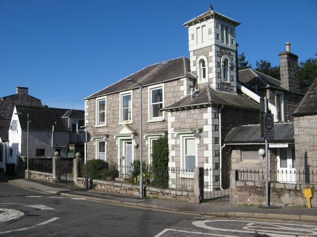
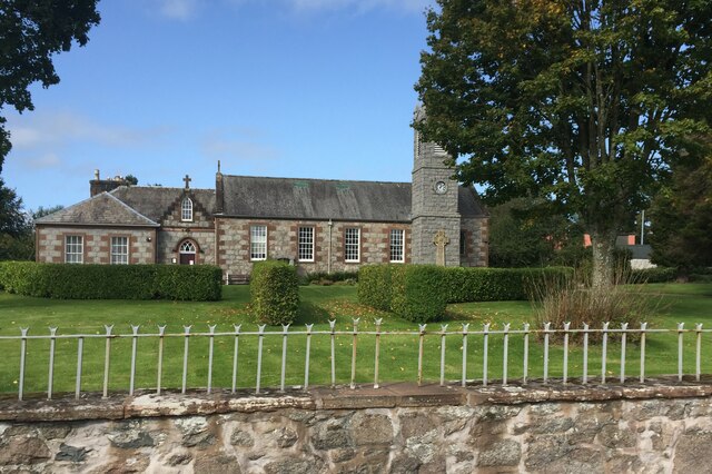
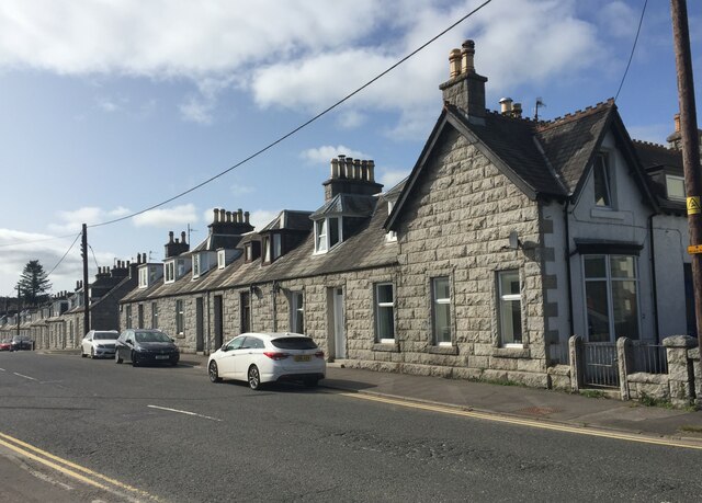
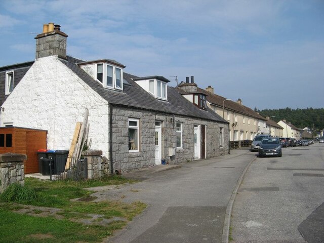
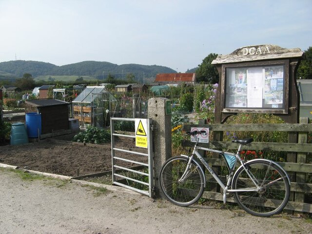
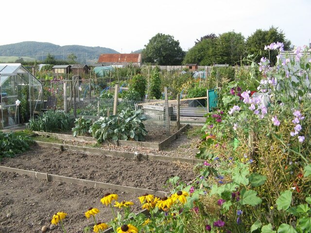
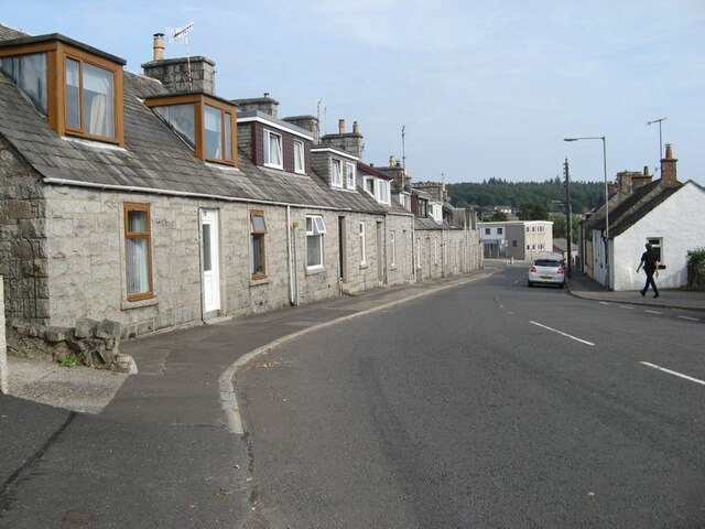
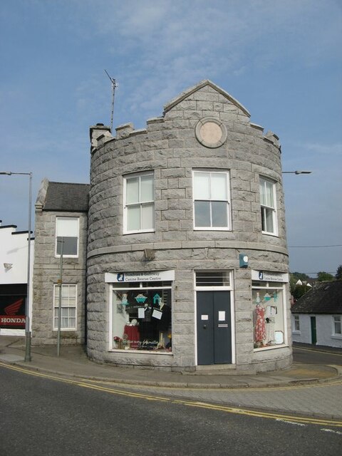
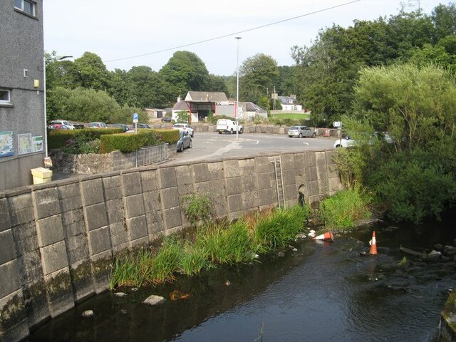
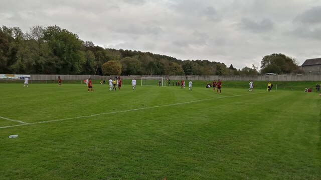
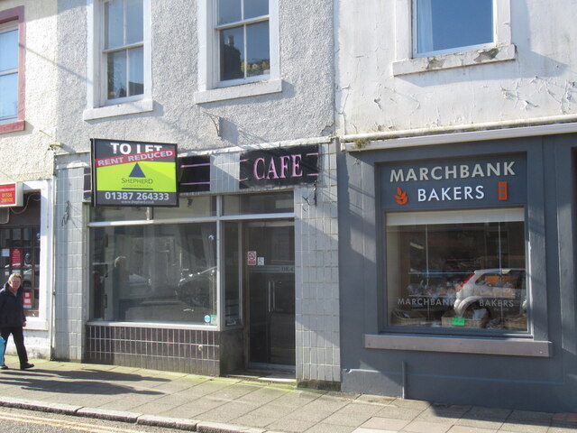
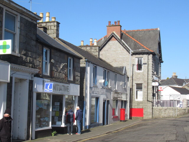
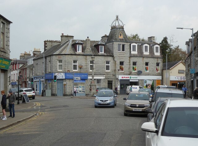
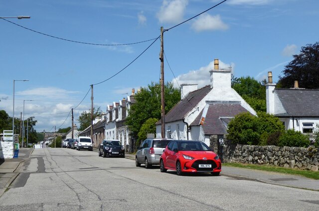
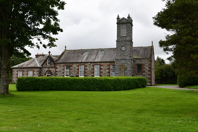
Bar Hill Plantations Images

Images are sourced within 2km of 54.939401/-3.8137259 or Grid Reference NX8362. Thanks to Geograph Open Source API. All images are credited.

McFadyen House, Alpine Street Dalbeattie abounds, quite rightly, in the finest granite vernacular buildings, and this one excels. Now housing the Alma McFayen Care Centre for older people.
McFadyen House, Alpine Street
Dalbeattie abounds, quite rightly, in the finest granite vernacular buildings, and this one excels. Now housing the Alma McFayen Care Centre for older people.
Craignaire Street, Dalbeattie Terraced housing lining the street
Craignaire Street, Dalbeattie
Terraced housing lining the street
St Peter's Catholic Church, Dalbeattie Built in 1814, this is the oldest church in Dalbeattie
St Peter's Catholic Church, Dalbeattie
Built in 1814, this is the oldest church in Dalbeattie
Terraced cottages, Dalbeattie On the west side of John Street
Terraced cottages, Dalbeattie
On the west side of John Street
Colliston Park, Dalbeattie The park is named after Miss Copland of Colliston who gifted the land to Dalbeattie in 1900.
Colliston Park, Dalbeattie
The park is named after Miss Copland of Colliston who gifted the land to Dalbeattie in 1900.
Port Street Port Street shows its origins, with modern housing leading away from High Street towards the site of Dalbeattie Quay and its nucleus of older houses. The granite cottages with dormers are so characteristic of the town and district.
Port Street
Port Street shows its origins, with modern housing leading away from High Street towards the site of Dalbeattie Quay and its nucleus of older houses. The granite cottages with dormers are so characteristic of the town and district.
Biggar Gardens sign The sign at the entrance to Biggar's Gardens, comprising allotments and community space run by the Dalbeattie Community Allotments Association. The site was originally the Munches brick and tile works which had clay from the alluvium of the Urr valley to the west.
Biggar Gardens sign
The sign at the entrance to Biggar's Gardens, comprising allotments and community space run by the Dalbeattie Community Allotments Association. The site was originally the Munches brick and tile works which had clay from the alluvium of the Urr valley to the west.
Allotment gardens Part of the Biggar Gardens of the Dalbeattie Community Allotments Association, in fine and productive condition.
Allotment gardens
Part of the Biggar Gardens of the Dalbeattie Community Allotments Association, in fine and productive condition.
Cottages, Maxwell Street A fine terrace of cottages in the local granite vernacular.
Cottages, Maxwell Street
A fine terrace of cottages in the local granite vernacular.
Granite tower A very distinctive building on the corner of John Street and High Street, the Round House dates from 1800 when it was built as a dwelling. In the mid 19th century it was rebuilt with its present round front as a shop - nowadays the upper story is a holiday let.
Granite tower
A very distinctive building on the corner of John Street and High Street, the Round House dates from 1800 when it was built as a dwelling. In the mid 19th century it was rebuilt with its present round front as a shop - nowadays the upper story is a holiday let.
Dalbeattie Burn A view of the Dalbeattie Burn by the High Street bridge, where it is constrained by a high wall adjacent to the town centre car park.
Dalbeattie Burn
A view of the Dalbeattie Burn by the High Street bridge, where it is constrained by a high wall adjacent to the town centre car park.
Islecroft Stadium - Home of Dalbeattie Star FC Scottish Cup 2nd Round - Dalbeattie Star 0 Rothes 0, Attendance 210
The best thing about this ground is undoubtedly its odd little stand (not shown here - the picture was taken from in front of it)  which is reached by steps. The 100 or so seats in it must be around eight feet up.
There are other idiosyncries dotted about elsewhere though. The two sides of the ground which aren't designed for supporters have short steep banks, as can be seen here, obviating the need for ballboys. The metal railing running along the stand side of the pitch, and the corner flags - one of which can just be made out in the photo - are in the team colours of red and black. And the pitch definitely has a very slight slope - the view taken seems to me to be slightly uphill. On top of this the four floodlights are oddly positioned, being roughly halfway between the halfway line and the goal line, and one of them doubles up as a telecommunications mast.
Dalbeattie Star currently play in the Lowland League, which is the fifth tier of Scottish football, or the top level of non-league football, looked at in another way. The winners of the Lowland League play off against the winners of the only other other Tier 5 league, the Highland League, at the end of the season, for the right to a tie against the bottom team in the actual proper league, which determines who competes in the higher league the following season.
The ground has been in use since 1950.
Islecroft Stadium - Home of Dalbeattie Star FC
Scottish Cup 2nd Round - Dalbeattie Star 0 Rothes 0, Attendance 210 The best thing about this ground is undoubtedly its odd little stand (not shown here - the picture was taken from in front of it) which is reached by steps. The 100 or so seats in it must be around eight feet up. There are other idiosyncries dotted about elsewhere though. The two sides of the ground which aren't designed for supporters have short steep banks, as can be seen here, obviating the need for ballboys. The metal railing running along the stand side of the pitch, and the corner flags - one of which can just be made out in the photo - are in the team colours of red and black. And the pitch definitely has a very slight slope - the view taken seems to me to be slightly uphill. On top of this the four floodlights are oddly positioned, being roughly halfway between the halfway line and the goal line, and one of them doubles up as a telecommunications mast. Dalbeattie Star currently play in the Lowland League, which is the fifth tier of Scottish football, or the top level of non-league football, looked at in another way. The winners of the Lowland League play off against the winners of the only other other Tier 5 league, the Highland League, at the end of the season, for the right to a tie against the bottom team in the actual proper league, which determines who competes in the higher league the following season. The ground has been in use since 1950.
Closed cafe, Dalbeattie The baker is still going strong,
Closed cafe, Dalbeattie
The baker is still going strong,
High Street, Dalbeattie
High Street, Dalbeattie Dalbeattie is best known for its fantastic mountain bike trails which are part of the 7 Stanes network. The town's history goes back to 1793 when it was founded as a mill town and a centre for quarrying granite.
High Street, Dalbeattie
Dalbeattie is best known for its fantastic mountain bike trails which are part of the 7 Stanes network. The town's history goes back to 1793 when it was founded as a mill town and a centre for quarrying granite.
Approaching Dalbeattie centre From the south.
Approaching Dalbeattie centre
From the south.
Dalbeattie, St. Peter's Church
Dalbeattie: Jardine Motors
Show me another place!

Bar Hill Plantations is located at Grid Ref: NX8362 (Lat: 54.939401, Lng: -3.8137259)

Unitary Authority: Dumfries and Galloway

Police Authority: Dumfries and Galloway

What 3 Words

///trooper.slap.pizzeria. Near Dalbeattie, Dumfries & Galloway

Related Wikis

Dalbeattie Star F.C.

Dalbeattie Star Football Club is a Scottish association football club based in Dalbeattie, Dumfries and Galloway. It currently competes in the South of...

Dalbeattie Town Hall

Dalbeattie Town Hall is a municipal building in the High Street in Dalbeattie, Dumfries and Galloway, Scotland. The structure, which is used as community...

Dalbeattie railway station

Dalbeattie railway station served the town of Dalbeattie, Dumfries and Galloway, Scotland from 1859 to 1965 on the Castle Douglas and Dumfries Railway...

Dalbeattie

Dalbeattie (, Scots: Dawbeattie, Scottish Gaelic: Dail Bheithe meaning 'haugh of the birch' or Dail bhàite 'drowned (i.e. liable to flood) haugh') is a...

Dalbeattie High School

Dalbeattie High School is a small rural secondary school on the edge of Dalbeattie in the historical county of Kirkcudbrightshire in the local council...

Buittle Castle

Buittle Castle, also known historically as Botle or Botel Castle, is a Motte and Bailey site in Galloway, south-west Scotland with significant early and...

Buittle Bridge

Buittle Bridge, also known as Craignair Bridge is a bridge over the Urr Water just outside Dalbeattie in Dumfries and Galloway, Scotland. Completed in...

Southwick railway station (Scotland)

Southwick (Dumfries & Galloway) railway station served the civil parish of Colvend and Southwick, Dumfries and Galloway, Scotland from 1859 to 1965 on...

Nearby Amenities

Located within 500m of 54.939401,-3.8137259
Barrhill Rd
Naptan AtcoCode: 680000355501
Naptan Bearing: SE
Naptan BusStopType: CUS
Naptan CommonName: Barrhill Rd
Naptan Indicator: at Barrhill Dr
Naptan Landmark: Barrhill Drive
Naptan NaptanCode: 34238239
Naptan Notes: none
Naptan Street: Barrhill Road
Naptan Verified: no
Source: naptan_import
Lat/Long: 54.9359457/-3.8149812
Bus Stop
Queens Grove
Naptan AtcoCode: 680000973333
Naptan Bearing: S
Naptan CommonName: Queens Grove
Naptan Indicator: Road End
Naptan Landmark: Queens Grove
Naptan NaptanCode: 34236329
Naptan Notes: none
Naptan Street: John Street
Naptan Verified: no
Source: naptan_import
Lat/Long: 54.9377808/-3.8207757
Bus Stop
Johnston Drive
Naptan AtcoCode: 680000973444
Naptan Bearing: N
Naptan CommonName: Johnston Drive
Naptan Indicator: Road End
Naptan Landmark: Johnston Drive
Naptan NaptanCode: 34236328
Naptan Notes: none
Naptan Street: John Street
Naptan Verified: no
Source: naptan_import
Lat/Long: 54.9384164/-3.820945
Bar Hill
Natural: peak
Lat/Long: 54.940006/-3.8134495
Power: pole
Lat/Long: 54.9438439/-3.813424
Power: pole
Lat/Long: 54.943817/-3.8141334
The data included in this document is from www.openstreetmap.org. The data is made available under ODbL.

Have you been to Bar Hill Plantations?

Leave your review of Bar Hill Plantations below (or comments, questions and feedback).