Knockman's Plantation

Wood, Forest in Kirkcudbrightshire

Scotland

Knockman's Plantation

Granite outcrop shore The shore here comprises solid granite outcrop, albeit fissured and jointed. Where the rock is clean and free of colourful lichen, the granite has a pronounced red tint which is characteristic of the southern, marginal part of the large intrusive mass.
Granite outcrop shore Credit: Jonathan Wilkins

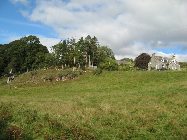
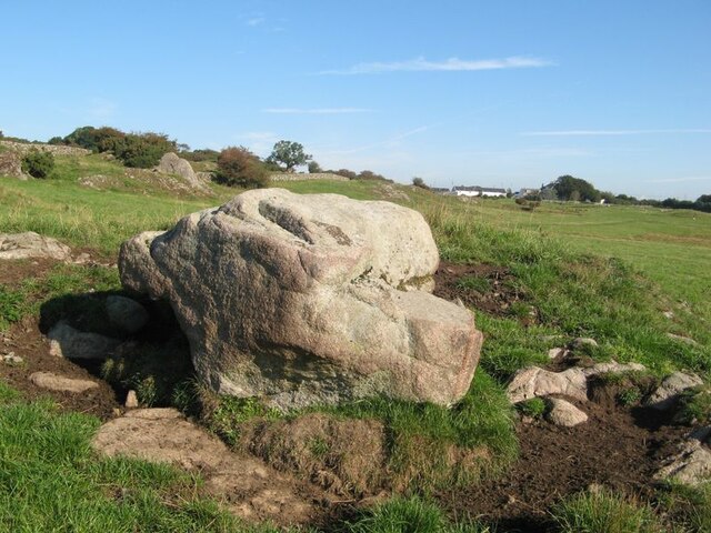
Knockman's Plantation is a picturesque woodland located in the county of Kirkcudbrightshire, Scotland. Spread across a sprawling area, this enchanting forest is a hidden gem, offering visitors a peaceful and tranquil escape from the hustle and bustle of modern life.

The plantation is predominantly comprised of native broadleaf trees, such as oak, beech, and birch, which thrive in the rich soil of the region. These majestic trees create a dense canopy, allowing only filtered sunlight to penetrate the forest floor, resulting in a cool and shaded environment even on the warmest of days.

As visitors navigate through the plantation, they are greeted by a diverse range of flora and fauna. Wildflowers, including bluebells and primroses, carpet the forest floor during spring, providing a colorful spectacle. The woodland is also home to a variety of bird species, such as woodpeckers, owls, and thrushes, filling the air with their melodious songs.

The plantation offers a network of well-maintained trails, enabling visitors to explore the woodland at their own pace. These paths wind through the forest, leading to stunning viewpoints that offer breathtaking vistas of the surrounding countryside.

Moreover, Knockman's Plantation is not only a haven for nature enthusiasts but also attracts artists and photographers who are captivated by its ethereal beauty. The interplay of light and shadow, combined with the vibrant colors of the changing seasons, provides endless inspiration for creative minds.

Overall, Knockman's Plantation is a remarkable woodland that showcases the natural beauty of Kirkcudbrightshire. Its tranquil ambiance, diverse flora and fauna, and scenic trails make it a must-visit destination for anyone seeking solace in nature's embrace.

If you have any feedback on the listing, please let us know in the comments section below.

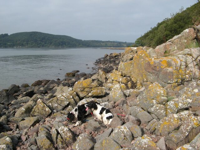
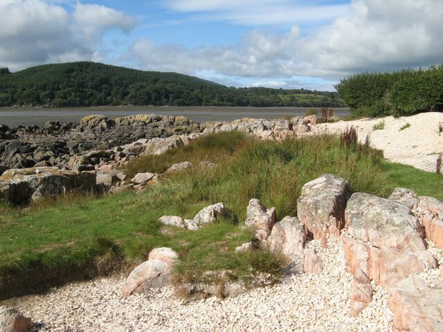
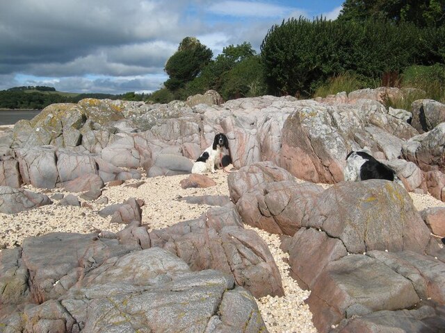
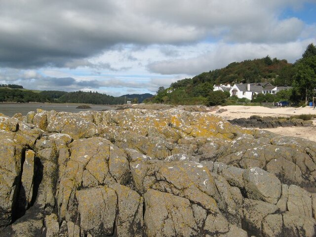
Knockman's Plantation Images

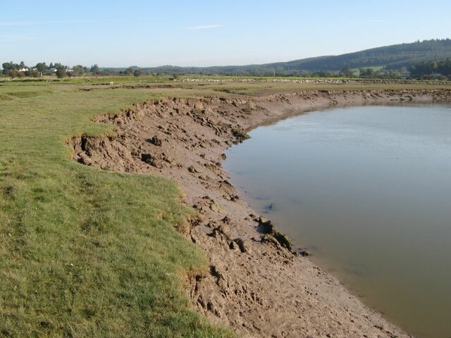
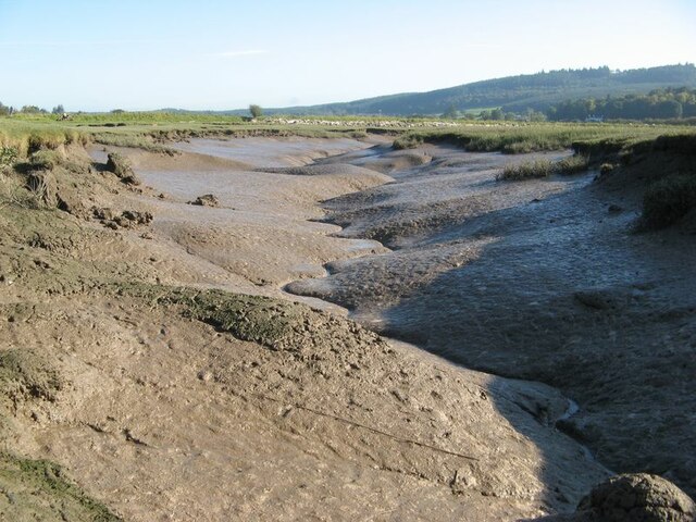
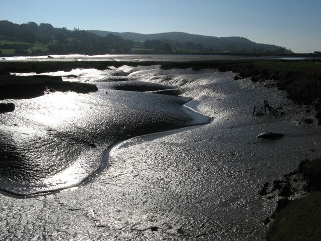
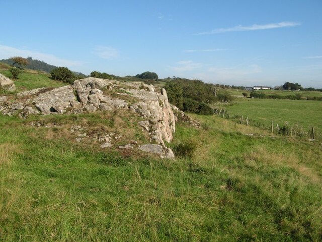
Images are sourced within 2km of 54.877896/-3.8107746 or Grid Reference NX8355. Thanks to Geograph Open Source API. All images are credited.

Granite outcrop shore The shore here comprises solid granite outcrop, albeit fissured and jointed. Where the rock is clean and free of colourful lichen, the granite has a pronounced red tint which is characteristic of the southern, marginal part of the large intrusive mass.
Granite outcrop shore
The shore here comprises solid granite outcrop, albeit fissured and jointed. Where the rock is clean and free of colourful lichen, the granite has a pronounced red tint which is characteristic of the southern, marginal part of the large intrusive mass.
Shell banks A curious feature of the coast here is the presence of storm beaches comprising nothing but cockle shells, which make a very colourful contrast with the rock outcrop and marshy turf.
Shell banks
A curious feature of the coast here is the presence of storm beaches comprising nothing but cockle shells, which make a very colourful contrast with the rock outcrop and marshy turf.
Polished granite, Roughfirth The shore at Roughfirth has abundant granite outcrop which is kept wonderfully clean by erosive wave action. The granite is more compact here, with fewer joints and fissures, so has been eroded and polished into smooth, rounded pillows with a fine pinkish hue. The environs of the Criffel-Daleattie Granite Pluton are a geologist's dream.
Polished granite, Roughfirth
The shore at Roughfirth has abundant granite outcrop which is kept wonderfully clean by erosive wave action. The granite is more compact here, with fewer joints and fissures, so has been eroded and polished into smooth, rounded pillows with a fine pinkish hue. The environs of the Criffel-Daleattie Granite Pluton are a geologist's dream.
Lichen-encrusted outcrop Fissured granite outcrop lies above the maximum tide level, so is a favourable habitat for the characteristic Caloplaca and Lecanora lichens.
Lichen-encrusted outcrop
Fissured granite outcrop lies above the maximum tide level, so is a favourable habitat for the characteristic Caloplaca and Lecanora lichens.
Ice-smoothed outcrop This area of rock outcrop lies entirely below the maximum high-tide level, as can be seen from the encrusting molluscs, so it has none of the lichens which are characteristic of the upper shore. The clean rock shows obvious signs of erosion by glacial action, presumably due to an ice stream moving down the valley of the Urr from higher ground inland.
Ice-smoothed outcrop
This area of rock outcrop lies entirely below the maximum high-tide level, as can be seen from the encrusting molluscs, so it has none of the lichens which are characteristic of the upper shore. The clean rock shows obvious signs of erosion by glacial action, presumably due to an ice stream moving down the valley of the Urr from higher ground inland.
Ready to go A fleet of sailing dinghies ready to take to the water at the Solway Yacht Club slipway.
Ready to go
A fleet of sailing dinghies ready to take to the water at the Solway Yacht Club slipway.
Boat storage Boats standing on saltmarsh above the normal tide level.
Boat storage
Boats standing on saltmarsh above the normal tide level.
View to The Holm The Orchardton valley is secluded with wide, grazed fields and wooded slopes. The Holm hides in its own patch of trees, but the outlying cottage is prominent on the slope.
View to The Holm
The Orchardton valley is secluded with wide, grazed fields and wooded slopes. The Holm hides in its own patch of trees, but the outlying cottage is prominent on the slope.
Samphire bed A patch of muddy sand near to the causeway has a fine growth of samphire.
Samphire bed
A patch of muddy sand near to the causeway has a fine growth of samphire.
Shore by the causeway The shelly beach near to the causeway, which appears to be a form of tombolo.
Shore by the causeway
The shelly beach near to the causeway, which appears to be a form of tombolo.
Urr Water by Palnackie Brae A view upstream of the river at low tide with reflections of Palnackie Brae.
Urr Water by Palnackie Brae
A view upstream of the river at low tide with reflections of Palnackie Brae.
Muddy river banks Mud banks at the side of Urr Water on a falling tide, though there is a good way to go yet.
Muddy river banks
Mud banks at the side of Urr Water on a falling tide, though there is a good way to go yet.
Morning reflections Still water on the Urr in the early morning.
Morning reflections
Still water on the Urr in the early morning.
Riverbank and salt marsh Diverse habitats in the estuary of Urr Water, which meanders in an impressive fashion.
Riverbank and salt marsh
Diverse habitats in the estuary of Urr Water, which meanders in an impressive fashion.
Creek meanders Fabulous, sinuous forms and billowing banks in the mud of a tidal creek.
Creek meanders
Fabulous, sinuous forms and billowing banks in the mud of a tidal creek.
Mud reflections Fabulous forms highlighted by reflection in this contra-jour image of a meandering creek at low tide.
Mud reflections
Fabulous forms highlighted by reflection in this contra-jour image of a meandering creek at low tide.
Granite outcrop Rock outcrop at the edge of low ground reaching out from Meiklebob Farm. This is a pretty spot, and very different from the neighbouring prairies of silage with vast cowsheds.
Granite outcrop
Rock outcrop at the edge of low ground reaching out from Meiklebob Farm. This is a pretty spot, and very different from the neighbouring prairies of silage with vast cowsheds.
Granite boulder A large glacial erratic boulder sits close to the granite outcrop of the higher ground. This appears to be a favourite spot for the farm animals to rub themselves when needed.
Granite boulder
A large glacial erratic boulder sits close to the granite outcrop of the higher ground. This appears to be a favourite spot for the farm animals to rub themselves when needed.
Show me another place!

Knockman's Plantation is located at Grid Ref: NX8355 (Lat: 54.877896, Lng: -3.8107746)

Unitary Authority: Dumfries and Galloway

Police Authority: Dumfries and Galloway

What 3 Words

///fluffed.dreaming.sunblock. Near Dalbeattie, Dumfries & Galloway

Related Wikis

Rockcliffe, Dumfries and Galloway

Rockcliffe is a small, coastal village in Kirkcudbrightshire, Dumfries and Galloway in Scotland, with a view of Rough Island, Hestan Island, the Solway...

Kippford

Kippford (/ˈkɪpfəd/; otherwise Scaur) is a small village along the Solway coast, in the historic county of Kirkcudbrightshire in Dumfries and Galloway...

Rough Firth

Rough Firth is an inlet on the northern coast of the Solway Firth in the Stewartry area of Dumfries and Galloway, Scotland. The firth lies between Almorness...

Rough Island, Scotland

"Rough Island" is also used as a translation of "Garbh Eilean", a common Scottish name for islandsRough Island is a 20-acre (8 ha) uninhabited tidal island...

Palnackie

Palnackie is a village in the parish of Buittle in the historical county of Kirkcudbrightshire in Dumfries and Galloway, Scotland. It has a population...

Colvend and Southwick

Colvend and Southwick is a community council area and civil parish within the Stewartry area of Dumfries and Galloway, Scotland. It is also part of the...

Orchardton Castle

Orchardton Castle overlooks the Solway Coast. Built in the 1880s, this is a Grade B listed property formerly known as Orchardton House. Built around a...

Hestan Island

Hestan Island is a small coastal island at the southern foot of the River Urr estuary in the Solway Firth, in the historical county of Kirkcudbrightshire...

Nearby Amenities

Located within 500m of 54.877896,-3.8107746
Source: PGS
Lat/Long: 54.8800742/-3.8176129
Source: PGS
Lat/Long: 54.8797329/-3.8168667
Source: PGS
Lat/Long: 54.8792931/-3.815936
Source: PGS
Lat/Long: 54.8789487/-3.8157058
Source: PGS
Lat/Long: 54.8789555/-3.8152091
Source: PGS
Lat/Long: 54.8786755/-3.814612
Source: PGS
Lat/Long: 54.8782845/-3.8141604
Source: PGS
Lat/Long: 54.8778142/-3.8137409
Created By: almien_coastlines
Source: PGS
Lat/Long: 54.877214/-3.8137411
Source: PGS
Lat/Long: 54.8766179/-3.8137897
Source: PGS
Lat/Long: 54.8762199/-3.8138025
Source: PGS
Lat/Long: 54.8750482/-3.8137425
Kippford
Is In: Dumfries & Galloway, Scotland, UK
Name Sco: The Scaur
Place: village
Lat/Long: 54.875197/-3.8107586
Mark Hill
Natural: peak
Lat/Long: 54.8760389/-3.8036664
Bus Stop
Bus Shelter
Bus: yes
Departures Board: timetable
Naptan AtcoCode: 680000033111
Naptan Bearing: NW
Naptan CommonName: Shop
Naptan Indicator: Shelter
Naptan Landmark: Post Office
Naptan NaptanCode: 34238278
Naptan Notes: none
Naptan Street: Main Street
Naptan Verified: no
Operator: Houston’s Minicoaches
Public Transport: platform
Shelter: yes
Source: naptan_import
Lat/Long: 54.8758011/-3.8136226
Bus Stop
Hill
Naptan AtcoCode: 680000033501
Naptan Bearing: NE
Naptan BusStopType: CUS
Naptan CommonName: Hill
Naptan Indicator: Post Box
Naptan Landmark: Merse Way
Naptan NaptanCode: 34238274
Naptan Notes: none
Naptan Street: C24
Naptan Verified: no
Source: naptan_import
Lat/Long: 54.8817682/-3.8110775
Bus Stop
Hill
Naptan AtcoCode: 680000033502
Naptan Bearing: SW
Naptan BusStopType: CUS
Naptan CommonName: Hill
Naptan Indicator: opp Post Box
Naptan Landmark: Merse Way
Naptan NaptanCode: 34238273
Naptan Notes: none
Naptan Street: C24
Naptan Verified: no
Source: naptan_import
Lat/Long: 54.8816236/-3.8111334
Post Box
Ref: DG5 58
Source: Flickr
Wheelchair: limited
Lat/Long: 54.881337/-3.8117638
Post Box
Post Box Type: wall
Ref: DG5 74
Source: Flickr
Lat/Long: 54.8756545/-3.8134754
The Mariner Hotel, Bar and Restaurant
Name En: The Mariner Hotel, Bar and Restaurant
Tourism: hotel
Lat/Long: 54.8791571/-3.8138476
Defibrillator
Access: yes
Defibrillator Location: Outside main door of village hall
Emergency: defibrillator
Indoor: no
Operator: Kippford Village Assoication
Ref GB The Circuit: FCCBB5A2-523C-480A-BD8E-AAD100C69788
Lat/Long: 54.88/-3.8138826
Generator Method: photovoltaic
Generator Output Electricity: yes
Generator Source: solar
Generator Type: solar_photovoltaic_panel
Location: roof
Power: generator
Lat/Long: 54.8810053/-3.8159618
Power: pole
Lat/Long: 54.8820023/-3.808469
Power: pole
Lat/Long: 54.8816325/-3.8077095
Power: pole
Lat/Long: 54.8808283/-3.8071346
Power: pole
Lat/Long: 54.8802217/-3.8066806
Power: pole
Lat/Long: 54.8795968/-3.806216
Power: pole
Lat/Long: 54.8786229/-3.8055478
Power: pole
Lat/Long: 54.8778418/-3.8066573
Power: pole
Lat/Long: 54.8773011/-3.8074656
Power: pole
Lat/Long: 54.8767909/-3.808225
Power: pole
Lat/Long: 54.8763588/-3.8091076
Power: pole
Lat/Long: 54.8760317/-3.810845
Power: pole
Lat/Long: 54.8751993/-3.8106583
Power: pole
Lat/Long: 54.8744462/-3.8104865
Power: pole
Lat/Long: 54.8738299/-3.8103415
Power: pole
Lat/Long: 54.881303/-3.8090121
Power: pole
Lat/Long: 54.8807282/-3.8094279
Power: pole
Lat/Long: 54.873405/-3.8108174
Historic: memorial
Lat/Long: 54.8798747/-3.8141301
Bench
Lat/Long: 54.8795933/-3.8141676
Man Made: flagpole
Lat/Long: 54.879815/-3.814266
Bench
Lat/Long: 54.8799225/-3.8142731
Bench
Lat/Long: 54.8798793/-3.8142508
Bench
Lat/Long: 54.8798387/-3.8142418
Bench
Lat/Long: 54.879796/-3.8142293
Bench
Lat/Long: 54.8797096/-3.8142061
Bench
Lat/Long: 54.8796689/-3.8141864
Bench
Lat/Long: 54.8796288/-3.8141766
Leisure: picnic_table
Lat/Long: 54.8796818/-3.8140854
Leisure: picnic_table
Lat/Long: 54.8799297/-3.8141524
Barrier: lift_gate
Lat/Long: 54.8794344/-3.8144446
The data included in this document is from www.openstreetmap.org. The data is made available under ODbL.

Have you been to Knockman's Plantation?

Leave your review of Knockman's Plantation below (or comments, questions and feedback).