Carperby

Settlement in Yorkshire Richmondshire

England

Carperby

Looking towards Ivy Scar Looking towards Ivy Scar from The Straights.
Looking towards Ivy Scar Credit: T Eyre

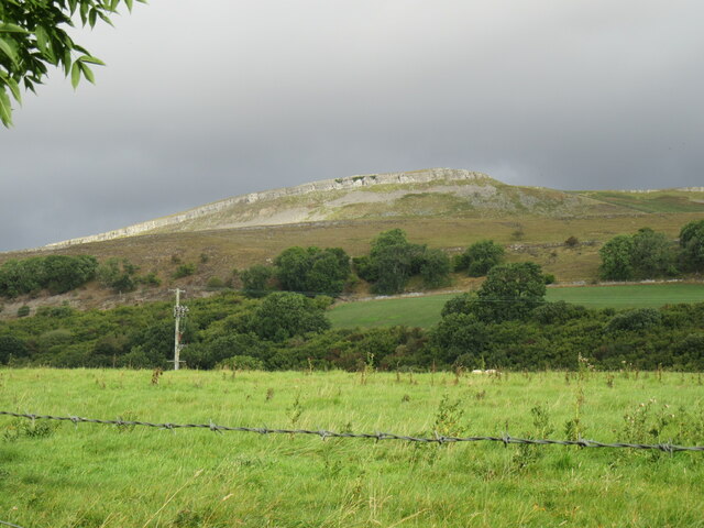
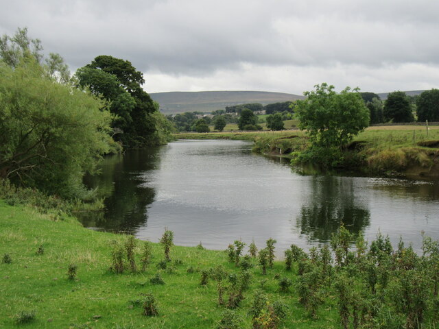
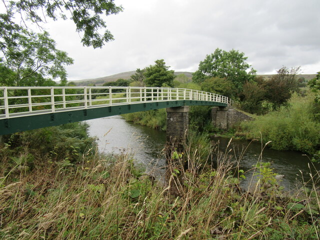
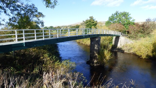
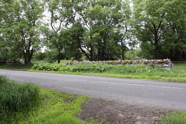
Carperby is a small village located in the Richmondshire district of North Yorkshire, England. Situated in the picturesque Yorkshire Dales National Park, the village is surrounded by stunning natural landscapes and rolling hills. It lies approximately 5 miles northwest of the market town of Leyburn and is easily accessible via the A684 road.

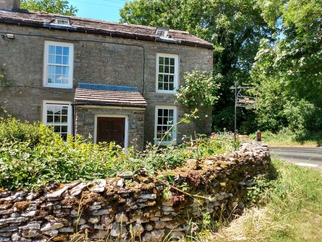
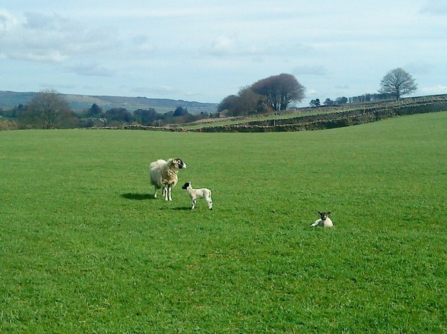
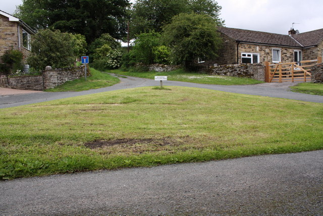
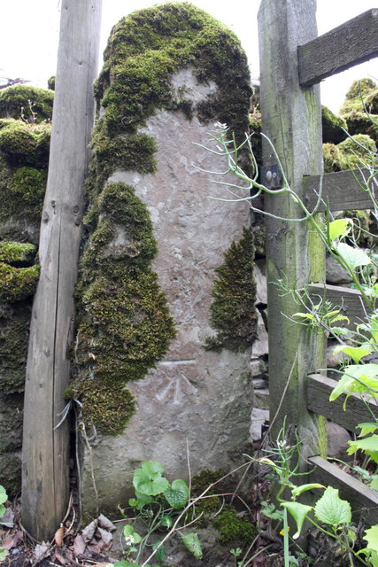
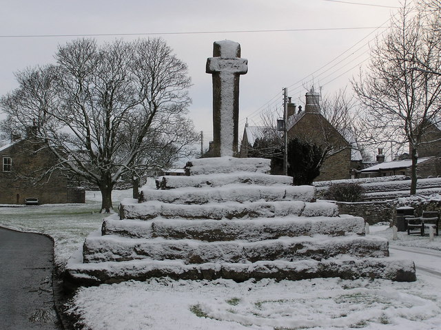
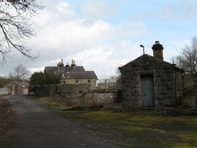
The village itself is characterized by its quaint and traditional charm, with many stone-built houses and buildings dating back several centuries. The local economy is primarily based on agriculture, with farming playing a significant role in the community.

Despite its small size, Carperby boasts a number of notable attractions. The village is home to the renowned Bolton Castle, a medieval fortress built in the 14th century. Visitors can explore the castle's well-preserved interior and learn about its rich history, including its connections to Mary, Queen of Scots.

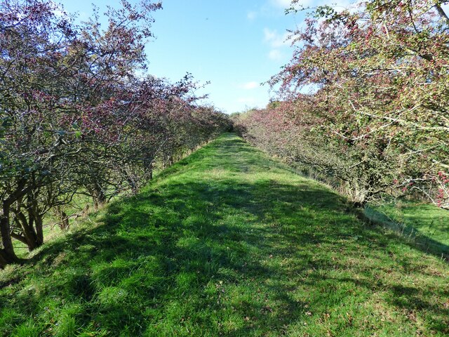
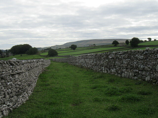
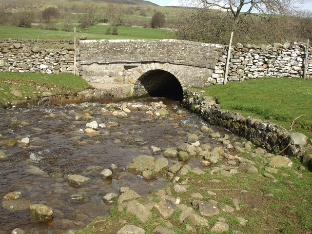
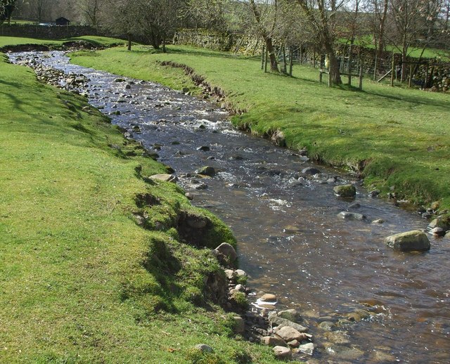
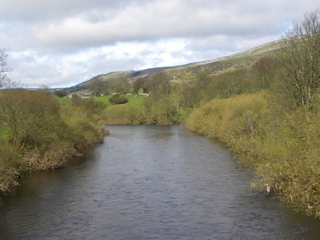
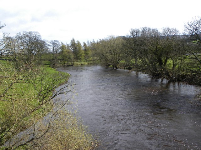
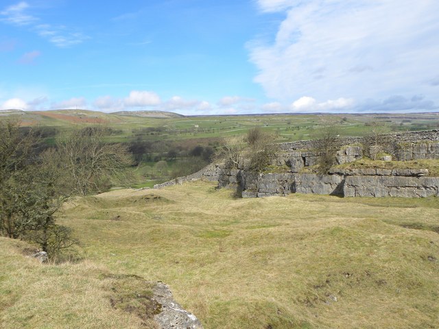
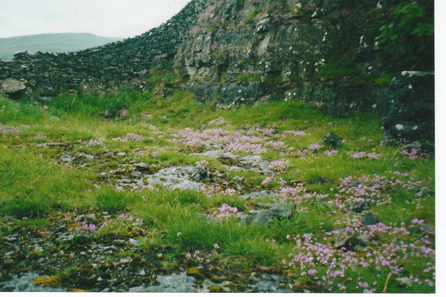
Carperby is also a popular destination for walkers and outdoor enthusiasts due to its proximity to the Yorkshire Dales. The village is surrounded by numerous scenic trails and paths, allowing visitors to discover the area's stunning natural beauty.

In terms of amenities, Carperby has a village pub that serves as a hub for the local community. Additionally, nearby Leyburn offers a range of shops, restaurants, and other services.

Overall, Carperby offers a peaceful and idyllic setting for those seeking a taste of rural Yorkshire and a chance to explore the breathtaking landscapes of the Yorkshire Dales.

If you have any feedback on the listing, please let us know in the comments section below.

Carperby Images

Images are sourced within 2km of 54.303302/-1.991345 or Grid Reference SE0089. Thanks to Geograph Open Source API. All images are credited.

Looking towards Ivy Scar Looking towards Ivy Scar from The Straights.
Looking towards Ivy Scar
Looking towards Ivy Scar from The Straights.
River Ure near Aysgarth Looking downstream with Penhill in the distance.
River Ure near Aysgarth
Looking downstream with Penhill in the distance.
Footbridge over the River Ure Footbridge over the River Ure near Aysgarth.
Footbridge over the River Ure
Footbridge over the River Ure near Aysgarth.
Footbridge over the River Ure
Disused Wensleydale railway embankment
Limekiln Lane A footpath enclosed by walls near Aysgarth.
Limekiln Lane
A footpath enclosed by walls near Aysgarth.
The Gatehouse, Aysgarth On "The Straights" near Ballowfield Bridge (across Eller Beck).
Due South of Mill Hill labelled "Gate House" 1910 and Ballowfield T.P. in 1858 (665 ft ASL). 
The property served the Richmond & Lancaster (Eastern District) Turnpike Trust in the 18ᵗʰ & 19ᵗʰ C.

Milestone Society National ID: YN.AYS
The Gatehouse, Aysgarth
On "The Straights" near Ballowfield Bridge (across Eller Beck). Due South of Mill Hill labelled "Gate House" 1910 and Ballowfield T.P. in 1858 (665 ft ASL). The property served the Richmond & Lancaster (Eastern District) Turnpike Trust in the 18ᵗʰ & 19ᵗʰ C. Milestone Society National ID: YN.AYS
Lowgill Bridge Small stone bridge that allows the A684 to cross over Gill Beck.
Lowgill Bridge
Small stone bridge that allows the A684 to cross over Gill Beck.
Gill Beck Flowing through the pastures at Seata.
Gill Beck
Flowing through the pastures at Seata.
The Ure at Ballowfield Looking upstream from the footbridge near Seata Farm.
The Ure at Ballowfield
Looking upstream from the footbridge near Seata Farm.
The Ure heading for Aysgarth Looking downstream along the Ure from the footbridge near Seata Farm.
The Ure heading for Aysgarth
Looking downstream along the Ure from the footbridge near Seata Farm.
Seata Quarry A general view across this old limestone quarry to the west of Aysgarth. Now a nature reserve with interesting plant species.
Seata Quarry
A general view across this old limestone quarry to the west of Aysgarth. Now a nature reserve with interesting plant species.
Lambs pose in the sunshine Lambs in the pastures above Seata Quarry.
Lambs pose in the sunshine
Lambs in the pastures above Seata Quarry.
Disused Seata Quarry floor with a good cover of Saxifrage in 2002
The small village green
Gatepost with benchmark beside road to Redmire The Ordnance Survey cut mark benchmark is described on the Bench Mark Database at <span class="nowrap"><a title="http://www.bench-marks.org.uk/bm38359" rel="nofollow ugc noopener" href="http://www.bench-marks.org.uk/bm38359">Link</a><img style="margin-left:2px;" alt="External link" title="External link - shift click to open in new window" src="https://s1.geograph.org.uk/img/external.png" width="10" height="10"/></span>
Gatepost with benchmark beside road to Redmire
The Ordnance Survey cut mark benchmark is described on the Bench Mark Database at LinkExternal link
Gateway and minor road junction on road to Redmire The gatepost on LHS of the gateway on RHS of photo has an OS benchmark <a href="https://www.geograph.org.uk/photo/2515931">SE0190 : Gatepost with benchmark beside road to Redmire</a>
Gateway and minor road junction on road to Redmire
The gatepost on LHS of the gateway on RHS of photo has an OS benchmark SE0190 : Gatepost with benchmark beside road to Redmire
Benchmark on gatepost of East End Farm Ordnance Survey cut mark benchmark described on the Bench Mark Database at <span class="nowrap"><a title="http://www.bench-marks.org.uk/bm38356" rel="nofollow ugc noopener" href="http://www.bench-marks.org.uk/bm38356">Link</a><img style="margin-left:2px;" alt="External link" title="External link - shift click to open in new window" src="https://s1.geograph.org.uk/img/external.png" width="10" height="10"/></span>
Benchmark on gatepost of East End Farm
Ordnance Survey cut mark benchmark described on the Bench Mark Database at LinkExternal link
Show me another place!

Carperby is located at Grid Ref: SE0089 (Lat: 54.303302, Lng: -1.991345)

Division: North Riding

Administrative County: North Yorkshire

District: Richmondshire

Police Authority: North Yorkshire

What 3 Words

///snooty.seemingly.chatters. Near Leyburn, North Yorkshire

Nearby Locations

Carperby Bear Park

Related Wikis

Carperby

Carperby is a village in the Yorkshire Dales, North Yorkshire, England. It lies 7 miles (11 km) west of Leyburn. == Etymology == The derivation of the...

Carperby-cum-Thoresby

Carperby-cum-Thoresby is a civil parish in the Richmondshire district of North Yorkshire, England. The parish contains the village of Carperby and the...

Aysgarth railway station

Aysgarth railway station is a disused railway station in North Yorkshire, England, near Aysgarth Falls. It was part of the Hawes Branch of the North Eastern...

Aysgarth Falls

Aysgarth Falls are a triple flight of waterfalls, surrounded by woodland and farmland, carved out by the River Ure over an almost one-mile (two-kilometre...

St Andrew's Church, Aysgarth

St Andrew's Church, Aysgarth, is a Grade II* listed parish church in the Church of England: 66  in Aysgarth, North Yorkshire. It is located on the south...

Aysgarth

Aysgarth is a village and civil parish in Wensleydale, in North Yorkshire, England. The village is in the Yorkshire Dales National Park, about 16 miles...

A684 road

The A684 is an A road that runs through Cumbria and North Yorkshire, starting at Kendal, Cumbria and ending at Ellerbeck and the A19 road in North Yorkshire...

Bishopdale Beck

Bishopdale Beck is a major tributary of the River Ure in North Yorkshire, England. The beck flows down Bishopdale, a side valley of Wensleydale in the...

Nearby Amenities

Located within 500m of 54.303302,-1.991345
Carperby
Place: village
Source: NPE
Wikidata: Q5045769
Lat/Long: 54.303984/-1.9896747
Hazard Backward: horses
Lat/Long: 54.3054217/-1.9867183
Hazard Forward: blind_summits
Lat/Long: 54.3017037/-1.9941073
Telephone
Booth: K6
Covered: booth
Lat/Long: 54.3041704/-1.9893635
Post Box
Lat/Long: 54.3051842/-1.9869716
Bus Stop
Bus: yes
Naptan AtcoCode: 3200YNA90955
Naptan NaptanCode: 32090955
Opposite: yes
Public Transport: platform
Shelter: yes
Wikimedia Commons: File:Carperby Bus Shelter - geograph.org.uk - 267959.jpg
Lat/Long: 54.3034269/-1.9912084
Post Box
Post Box Type: lamp
Lat/Long: 54.3034472/-1.9911414
Barrier: stile
Lat/Long: 54.3045436/-1.9956964
Barrier: stile
Foot: yes
Lat/Long: 54.303838/-1.9887384
Barrier: stile
Foot: yes
Lat/Long: 54.301673/-1.9850117
Barrier: stile
Foot: yes
Lat/Long: 54.3033328/-1.9882429
Bench
Backrest: yes
Material: wood
Seats: 4
Lat/Long: 54.304933/-1.987689
Bench
Backrest: yes
Material: wood
Seats: 4
Lat/Long: 54.305154/-1.987532
Barrier: stile
Foot: yes
Lat/Long: 54.3015612/-1.9849835
Power: pole
Source: Bing
Lat/Long: 54.3024119/-1.9977896
Power: pole
Lat/Long: 54.3038424/-1.9945898
Power: pole
Source: Bing
Lat/Long: 54.304243/-1.993187
Power: pole
Lat/Long: 54.3028908/-1.9969233
Power: pole
Source: Bing
Lat/Long: 54.3049596/-1.9922886
Power: pole
Source: Bing
Lat/Long: 54.3035294/-1.9957404
Power: pole
Source: Bing
Lat/Long: 54.3019455/-1.9986479
Power: pole
Source: Bing
Lat/Long: 54.3063753/-1.990537
Power: pole
Source: Bing
Lat/Long: 54.3057149/-1.9913671
Manor House
Place: isolated_dwelling
Lat/Long: 54.3056774/-1.9849153
Access: yes
Barrier: entrance
Lat/Long: 54.2999075/-1.9931898
Access: yes
Barrier: entrance
Lat/Long: 54.3007808/-1.9910828
Access: yes
Barrier: entrance
Lat/Long: 54.2995099/-1.9893555
Access: yes
Barrier: entrance
Lat/Long: 54.3003676/-1.9933895
Bench
Lat/Long: 54.3040591/-1.9895323
Historic: memorial
Lat/Long: 54.3036929/-1.9904845
Barrier: stile
Stile: squeezer
Lat/Long: 54.3044943/-1.9843103
Barrier: stile
Stile: squeezer
Lat/Long: 54.3041356/-1.9858807
Barrier: stile
Stile: squeezer
Lat/Long: 54.3038985/-1.9867457
Barrier: stile
Stile: squeezer
Lat/Long: 54.3036489/-1.9874029
Power: pole
Lat/Long: 54.3072538/-1.9888379
Power: pole
Lat/Long: 54.3068587/-1.9899268
Barrier: entrance
Lat/Long: 54.2997455/-1.9878522
Barrier: entrance
Lat/Long: 54.3025442/-1.9868391
Hiking: yes
Information: guidepost
Tourism: information
Lat/Long: 54.3044705/-1.9885321
Carperby (east end)
Board Type: history
Information: board
Tourism: information
Lat/Long: 54.3051818/-1.9875692
Barrier: entrance
Lat/Long: 54.3076794/-1.9902242
Carperby market cross
Man Made: cross
Wikidata: Q17670069
Wikimedia Commons: File:Carperby Cross - geograph.org.uk - 585260.jpg
Lat/Long: 54.3031997/-1.99185
Barrier: stile
Lat/Long: 54.3043495/-1.9849693
Caperby Wheatsheaf Inn
Bus: yes
Public Transport: stop_position
Lat/Long: 54.3046543/-1.9883266
Bus Stop
Caperby Wheatsheaf Inn
Bus: yes
Public Transport: platform
Lat/Long: 54.3046781/-1.9883689
Bus Stop
Caperby Wheatsheaf Inn
Bus: yes
Public Transport: platform
Lat/Long: 54.3045703/-1.9883797
Caperby Wheatsheaf Inn
Bus: yes
Public Transport: stop_position
Lat/Long: 54.3045951/-1.9884269
The data included in this document is from www.openstreetmap.org. The data is made available under ODbL.

Have you been to Carperby?

Leave your review of Carperby below (or comments, questions and feedback).