Carpenter's Hill

Settlement in Worcestershire Bromsgrove

England

Carpenter's Hill

Wapping Lane at Lower Greenhills Farm
Wapping Lane at Lower Greenhills Farm Credit: Roy Hughes

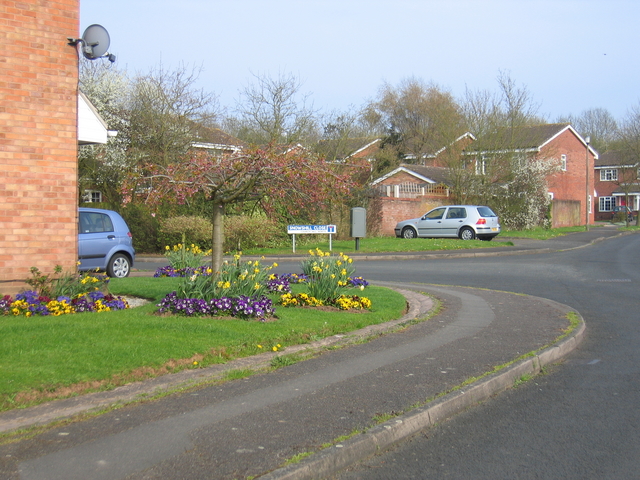
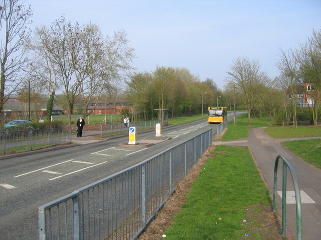
Carpenter's Hill is a picturesque village located in the county of Worcestershire, England. Situated on a gentle slope, the village offers stunning views of the surrounding countryside and is renowned for its tranquil and idyllic setting. With a population of around 500 residents, Carpenter's Hill boasts a close-knit community and a strong sense of community spirit.

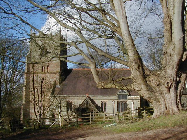
The village is characterized by its charming thatched-roof cottages, traditional architecture, and well-manicured gardens. It exudes a quintessential English village atmosphere, with its narrow lanes and historic buildings that date back several centuries. The centerpiece of Carpenter's Hill is the village green, a spacious and well-maintained area that serves as a gathering place for local events and celebrations.

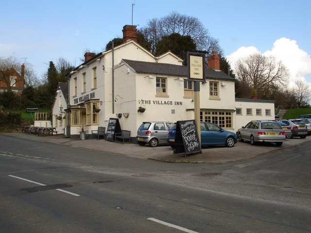
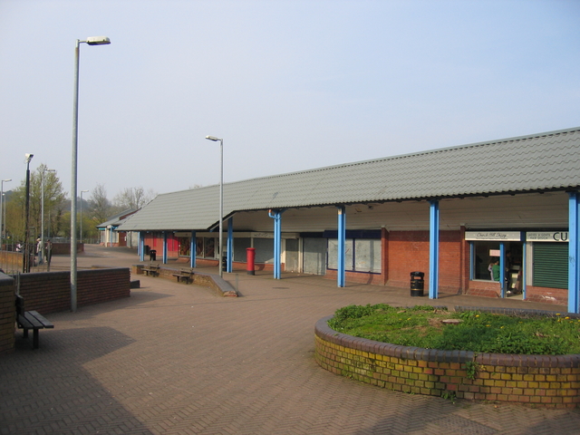
Despite its small size, Carpenter's Hill offers a range of amenities to its residents. These include a local pub, a village hall, and a small convenience store that caters to the daily needs of the community. The village also benefits from being in close proximity to larger towns, providing easy access to additional services and facilities.

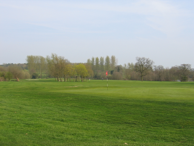
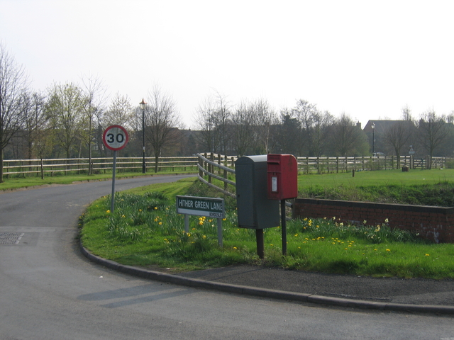
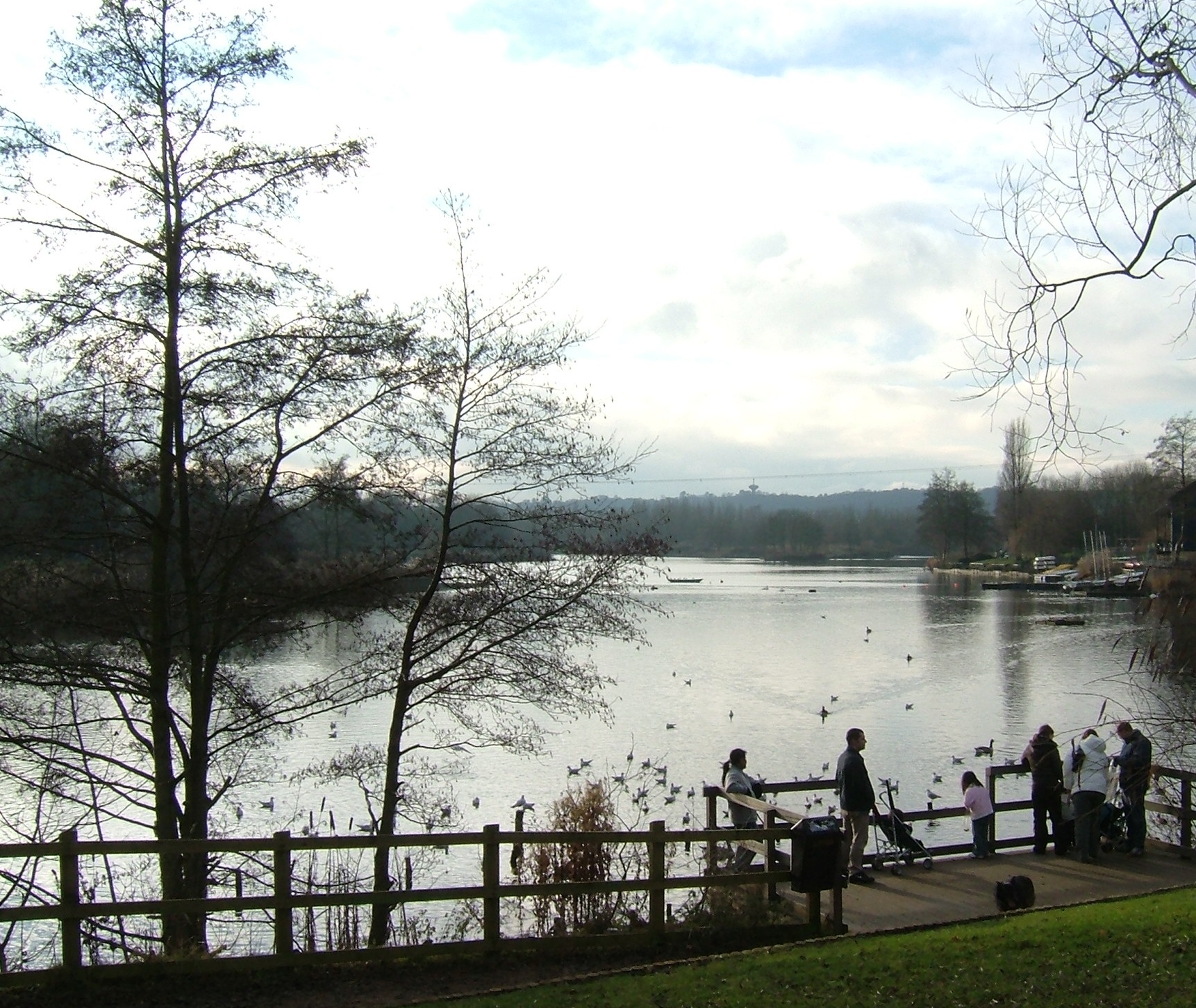
Nature enthusiasts are drawn to Carpenter's Hill due to its proximity to several beautiful walking trails and nature reserves. The surrounding countryside offers ample opportunities for outdoor activities such as hiking, cycling, and birdwatching. The village also benefits from excellent transport links, making it an ideal base for exploring the wider Worcestershire area.

Carpenter's Hill is a hidden gem, offering a peaceful and picturesque retreat for those seeking a slower pace of life in the heart of the English countryside.

If you have any feedback on the listing, please let us know in the comments section below.

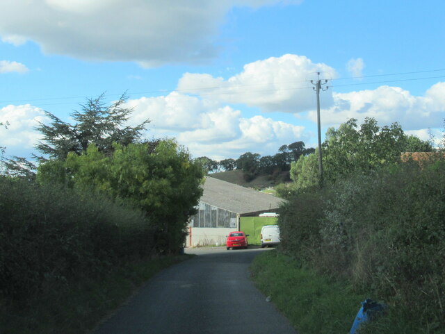
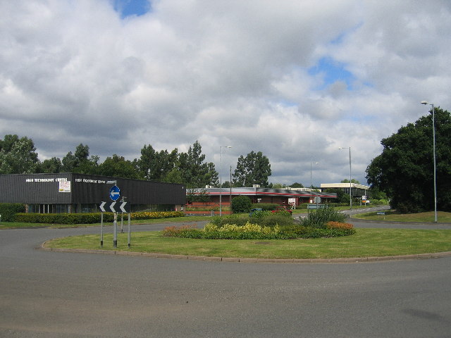
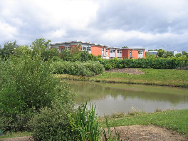
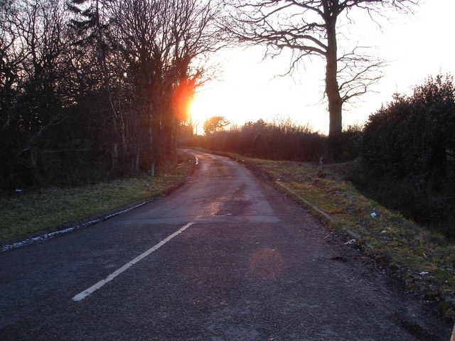
Carpenter's Hill Images

Images are sourced within 2km of 52.32805/-1.8987076 or Grid Reference SP0770. Thanks to Geograph Open Source API. All images are credited.

Wapping Lane at Lower Greenhills Farm
Moon's Moat Industrial Estate Most of this square is covered by an industrial estate.  This new roundabout doesn't yet appear on the OS maps!
Moon's Moat Industrial Estate
Most of this square is covered by an industrial estate. This new roundabout doesn't yet appear on the OS maps!
Moon's Moat Industrial Estate Looking across a drainage pond towards some new developments near the western edge of the square.
Moon's Moat Industrial Estate
Looking across a drainage pond towards some new developments near the western edge of the square.
Sunset on the lane leading to Pink Green A late winter's sunset over the lane leading to the quaintly named hamlet of Pink Green
Sunset on the lane leading to Pink Green
A late winter's sunset over the lane leading to the quaintly named hamlet of Pink Green
St Leonards Church, Beoley This church has some architectural features from the 12th Century. It has an 8-bell peal and an active group of bell-ringers.
St Leonards Church, Beoley
This church has some architectural features from the 12th Century. It has an 8-bell peal and an active group of bell-ringers.
The Village Inn at Beoley, near Redditch Located in the heart of this small village.
The Village Inn at Beoley, near Redditch
Located in the heart of this small village.
Abbey Park Golf Course Part of the Abbey Park Golf and Country Club complex, looking near Dagnell End Road towards The Dagnell Brook.
Abbey Park Golf Course
Part of the Abbey Park Golf and Country Club complex, looking near Dagnell End Road towards The Dagnell Brook.
Church Hill centre, Redditch The new town of Redditch was built as a series of distinct districts each with their own centre hub.  These are the shops at the centre of the Church Hill district.  As can be seen they are fitted with heavy shutters as these areas seem to attract unwelcome attention outside of trading hours!
Church Hill centre, Redditch
The new town of Redditch was built as a series of distinct districts each with their own centre hub. These are the shops at the centre of the Church Hill district. As can be seen they are fitted with heavy shutters as these areas seem to attract unwelcome attention outside of trading hours!
Church Hill, Redditch A quiet corner of Snowshill Close in Church Hill with colourful display of flowers in one garden. This shows the typical new town housing developments covering part of this and much of the adjoining squares.
Church Hill, Redditch
A quiet corner of Snowshill Close in Church Hill with colourful display of flowers in one garden. This shows the typical new town housing developments covering part of this and much of the adjoining squares.
Hither Green Lane The post box and some daffodils at the junction of Hither Green Lane and Dagnell End Road, with Abbey Park Golf Course either side of road.
Hither Green Lane
The post box and some daffodils at the junction of Hither Green Lane and Dagnell End Road, with Abbey Park Golf Course either side of road.
Gordon Anstis House, Redditch The YMCA building in Church Hill, Redditch.
Gordon Anstis House, Redditch
The YMCA building in Church Hill, Redditch.
Book and Candle The public house in the centre of the Church Hill district of Redditch. The pub garden seems to be largely surrounded by high panel fencing.
Book and Candle
The public house in the centre of the Church Hill district of Redditch. The pub garden seems to be largely surrounded by high panel fencing.
Busway, Church Hill The new town districts of Redditch are linked by a network of bus-only roadways, sort of a poor man's tramway system, to provide traffic immune public transport around the town.
Busway, Church Hill
The new town districts of Redditch are linked by a network of bus-only roadways, sort of a poor man's tramway system, to provide traffic immune public transport around the town.
Rush Lane, Redditch In the Church Hill district of Redditch, with one of the network of cycle and footpath routes linking the various part of the town.
Rush Lane, Redditch
In the Church Hill district of Redditch, with one of the network of cycle and footpath routes linking the various part of the town.
Footpath, Redditch Part of the network of footpaths/cycle ways linking the various districts in Redditch.  This is the route from Papermill farm to NW Church Hill.
Footpath, Redditch
Part of the network of footpaths/cycle ways linking the various districts in Redditch. This is the route from Papermill farm to NW Church Hill.
Gates to Beoley Hall The small green at the gates to Beoley Hall. Little else of the hall itself can be seen from the road.
Gates to Beoley Hall
The small green at the gates to Beoley Hall. Little else of the hall itself can be seen from the road.
Storrage House A fine old house, complete with elaborate brick porch, seen from Storrage Lane.
Storrage House
A fine old house, complete with elaborate brick porch, seen from Storrage Lane.
Mast at Hill Farm The unusual and unidentified guyed mast is at Hill Farm, and visible from much if the surrounding area.
Mast at Hill Farm
The unusual and unidentified guyed mast is at Hill Farm, and visible from much if the surrounding area.
Show me another place!

Carpenter's Hill is located at Grid Ref: SP0770 (Lat: 52.32805, Lng: -1.8987076)

Administrative County: Worcestershire

District: Bromsgrove

Police Authority: West Mercia

What 3 Words

///beats.spout.flats. Near Redditch, Worcestershire

Related Wikis

Beoley

Beoley is a small village and larger civil parish north of Redditch in the Bromsgrove District of Worcestershire. It adjoins Warwickshire to the east....

Holt End, Worcestershire

Holt End is a village in the civil parish of Beoley in Worcestershire, England. It is the main centre of population in the parish and is frequently referred...

River Alne

The River Alne is a tributary of the Arrow and has its headwaters to the north of Wootton Wawen. == Course == Its source is at Pink Green (just inside...

Arrow Valley Country Park

Arrow Valley Country Park (also known as Arrow Valley Park) is a country park on the River Arrow, at Redditch, Worcestershire, England. Built by Redditch...

Gorcott Hill

Gorcott Hill is a small hamlet in the civil parish of Tanworth-in-Arden, in the Stratford-on-Avon district, in the county of Warwickshire, England. It...

Bordesley Abbey

Bordesley Abbey was a 12th-century Cistercian abbey near the town of Redditch, in Worcestershire, England. The abbey's foundation was an act of Waleran...

Forge Mill Needle Museum

The Forge Mill Needle Museum in Redditch, Worcestershire, is a historic museum depicting Redditch's Industrial Heritage. Opened in 1983 by Queen Elizabeth...

Bordesley, Worcestershire

Bordesley is a village north of Redditch, in Worcestershire, England. Bordesley primarily comprises houses alongside the A441 Birmingham Road between...

Nearby Amenities

Located within 500m of 52.32805,-1.8987076
Barrier: kissing_gate
Lat/Long: 52.3273699/-1.8929247
Barrier: kissing_gate
Lat/Long: 52.3272868/-1.8929182
Barrier: kissing_gate
Lat/Long: 52.3295879/-1.8991193
Beoley
Place: hamlet
Source: Bing
Wikidata: Q2601726
Lat/Long: 52.3253006/-1.9029718
Crossing
Crossing: uncontrolled
Lat/Long: 52.323888/-1.8959825
Defibrillator
Emergency: defibrillator
Fixme: precise location required
Source: West Midlands Ambulance Service FOI request
Lat/Long: 52.3241011/-1.8956083
Power: pole
Source: bing
Lat/Long: 52.3238183/-1.8976642
Power: pole
Ref: 775988
Source: wpd_opendata
Transformer: distribution
Lat/Long: 52.3242773/-1.8978721
Power: pole
Source: bing
Lat/Long: 52.3248421/-1.8981256
Power: pole
Source: bing
Lat/Long: 52.3254454/-1.8984045
Power: pole
Source: bing
Lat/Long: 52.3259986/-1.8986714
Power: pole
Source: bing
Lat/Long: 52.3265527/-1.8989235
Power: pole
Source: bing
Lat/Long: 52.327083/-1.8991663
Power: pole
Source: bing
Lat/Long: 52.3276157/-1.8994023
Power: pole
Source: bing
Lat/Long: 52.3282665/-1.8997215
Power: pole
Source: bing
Lat/Long: 52.3289222/-1.9000326
Power: pole
Source: bing
Lat/Long: 52.3295295/-1.9003035
Power: pole
Source: bing
Lat/Long: 52.3301532/-1.9006066
Power: pole
Source: bing
Lat/Long: 52.3307654/-1.9008896
Power: pole
Source: bing
Lat/Long: 52.3314079/-1.9011819
Power: pole
Source: bing
Lat/Long: 52.3320258/-1.9014649
Barrier: kissing_gate
Lat/Long: 52.3282921/-1.9007024
Barrier: kissing_gate
Lat/Long: 52.3287318/-1.8966167
Barrier: kissing_gate
Lat/Long: 52.3273185/-1.8931518
Barrier: kissing_gate
Lat/Long: 52.3270847/-1.8975674
Barrier: kissing_gate
Lat/Long: 52.326411/-1.9031327
The data included in this document is from www.openstreetmap.org. The data is made available under ODbL.

Have you been to Carpenter's Hill?

Leave your review of Carpenter's Hill below (or comments, questions and feedback).