Carpenters Hill Wood

Wood, Forest in Worcestershire Bromsgrove

England

Carpenters Hill Wood

The A435, Pink Green
The A435, Pink Green Credit: David Howard

Carpenters Hill Wood is a picturesque woodland located in Worcestershire, England. Covering an area of approximately 100 acres, this enchanting forest is known for its natural beauty and tranquil atmosphere. It is situated on the western slopes of the Lickey Hills, providing visitors with breathtaking views of the surrounding countryside.

The wood is predominantly made up of a mix of broadleaf trees, including oak, ash, and beech, creating a diverse and vibrant ecosystem. It is home to a wide variety of wildlife, including deer, foxes, and numerous species of birds, making it a popular spot for nature enthusiasts and birdwatchers.

Walking trails wind their way through the wood, allowing visitors to explore its hidden gems and discover its unique flora and fauna. The paths are well-maintained and suitable for all ages and fitness levels, making it an ideal destination for a family day out or a peaceful stroll.

Carpenters Hill Wood is also well-known for its historical significance. It has been a woodland for centuries, and remnants of an old charcoal pit can still be found within its boundaries. These historical features add an extra layer of intrigue to the wood, making it a fascinating place to visit.

Overall, Carpenters Hill Wood offers visitors a chance to escape the hustle and bustle of everyday life and immerse themselves in the tranquility of nature. Whether it's a leisurely walk, wildlife spotting, or simply enjoying the beauty of the surroundings, this woodland provides a perfect retreat for those seeking a peaceful and rejuvenating experience.

If you have any feedback on the listing, please let us know in the comments section below.

Carpenters Hill Wood Images

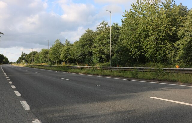
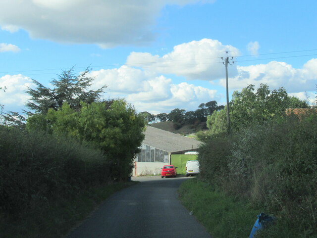
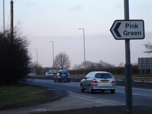
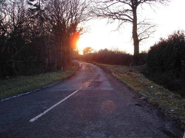
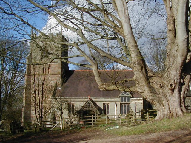
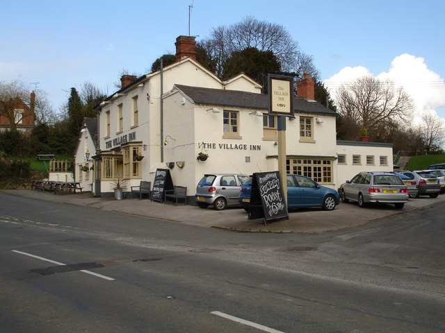
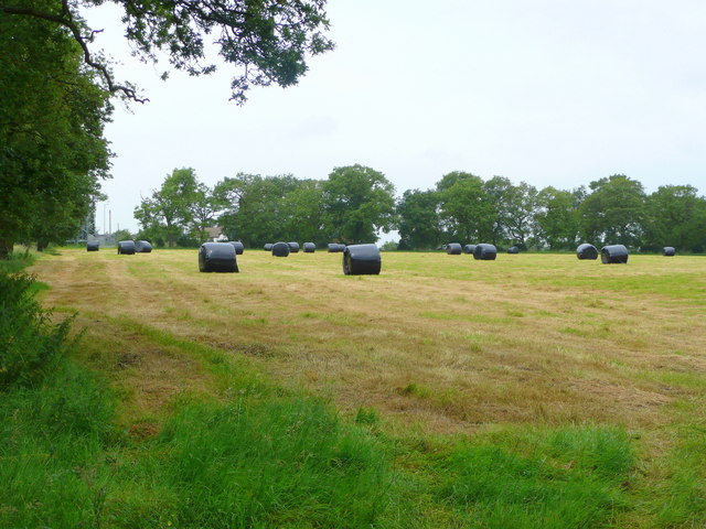
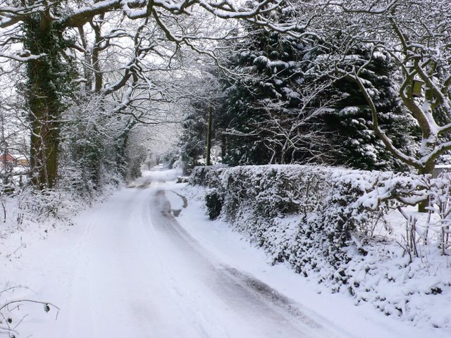
Images are sourced within 2km of 52.33346/-1.8866615 or Grid Reference SP0770. Thanks to Geograph Open Source API. All images are credited.

The A435, Pink Green
Wapping Lane at Lower Greenhills Farm
The A435 highway junction to Pink Green This colourfully named small hamlet is signposted directly off the A435 trunk road near Redditch
The A435 highway junction to Pink Green
This colourfully named small hamlet is signposted directly off the A435 trunk road near Redditch
Sunset on the lane leading to Pink Green A late winter's sunset over the lane leading to the quaintly named hamlet of Pink Green
Sunset on the lane leading to Pink Green
A late winter's sunset over the lane leading to the quaintly named hamlet of Pink Green
St Leonards Church, Beoley This church has some architectural features from the 12th Century. It has an 8-bell peal and an active group of bell-ringers.
St Leonards Church, Beoley
This church has some architectural features from the 12th Century. It has an 8-bell peal and an active group of bell-ringers.
The Village Inn at Beoley, near Redditch Located in the heart of this small village.
The Village Inn at Beoley, near Redditch
Located in the heart of this small village.
Green lane to Aspley Heath Looking north-east from near Alderhanger Farm.
Green lane to Aspley Heath
Looking north-east from near Alderhanger Farm.
Baled up and ready to go A good first silage cut from this field near Alderhanger Farm.
Baled up and ready to go
A good first silage cut from this field near Alderhanger Farm.
Pink Green is White! This snowy lane is not far from Pink Green and is just north of Alderhanger Farm just to the east of the A435.
Pink Green is White!
This snowy lane is not far from Pink Green and is just north of Alderhanger Farm just to the east of the A435.
A435 at Pink Green
A435 at Pink Green
The Cross and Bowling Green Inn at Bransons Cross This popular Inn is located directly off the busy A435 trunk road at Bransons Cross, close to Redditch, Beoley and Tanworth.
The Cross and Bowling Green Inn at Bransons Cross
This popular Inn is located directly off the busy A435 trunk road at Bransons Cross, close to Redditch, Beoley and Tanworth.
Rushbrook The entrance to Rushbrook Farm.
Rushbrook
The entrance to Rushbrook Farm.
Gates to Beoley Hall The small green at the gates to Beoley Hall. Little else of the hall itself can be seen from the road.
Gates to Beoley Hall
The small green at the gates to Beoley Hall. Little else of the hall itself can be seen from the road.
Mast at Hill Farm The unusual and unidentified guyed mast is at Hill Farm, and visible from much if the surrounding area.
Mast at Hill Farm
The unusual and unidentified guyed mast is at Hill Farm, and visible from much if the surrounding area.
Old Alcester Road, Portway Until the modern dual carriageway was built nearby this was the main Birmingham - Alcester Road.  Now it has reverted to a fairly quiet country road lined with occasional well kept cottages.
Old Alcester Road, Portway
Until the modern dual carriageway was built nearby this was the main Birmingham - Alcester Road. Now it has reverted to a fairly quiet country road lined with occasional well kept cottages.
Brockhill Wood The relatively sparsely populated old woodland in the east of the square.
Brockhill Wood
The relatively sparsely populated old woodland in the east of the square.
Seafield Farm The view towards the modern farm buildings at Seafield Farm from the footpath from Cherry Pit lane towards Carpenters Hill.
Seafield Farm
The view towards the modern farm buildings at Seafield Farm from the footpath from Cherry Pit lane towards Carpenters Hill.
Footpath to Brockhill Wood The stile at Carpenters Hill with the farm buildings at Seafield Farm just inside the  next square seen in the distance.
Footpath to Brockhill Wood
The stile at Carpenters Hill with the farm buildings at Seafield Farm just inside the next square seen in the distance.
Show me another place!

Carpenters Hill Wood is located at Grid Ref: SP0770 (Lat: 52.33346, Lng: -1.8866615)

Administrative County: Worcestershire

District: Bromsgrove

Police Authority: West Mercia

What 3 Words

///hook.supporter.wallet. Near Redditch, Worcestershire

Related Wikis

Holt End, Worcestershire

Holt End is a village in the civil parish of Beoley in Worcestershire, England. It is the main centre of population in the parish and is frequently referred...

River Alne

The River Alne is a tributary of the Arrow and has its headwaters to the north of Wootton Wawen. == Course == Its source is at Pink Green (just inside...

Beoley

Beoley is a small village and larger civil parish north of Redditch in the Bromsgrove District of Worcestershire. It adjoins Warwickshire to the east....

Gorcott Hill

Gorcott Hill is a small hamlet in the civil parish of Tanworth-in-Arden, in the Stratford-on-Avon district, in the county of Warwickshire, England. It...

Ladbrooke, Tanworth-in-Arden

Ladbrooke is an historic estate in the parish of Tanworth-in-Arden, Warwickshire, England. The early history until the late 14th century is sparse and...

Wood End, Stratford-on-Avon

Wood End is a village in Warwickshire, England. It is about 1 mile north of Tanworth-in-Arden (where the population can be found), and has a railway station...

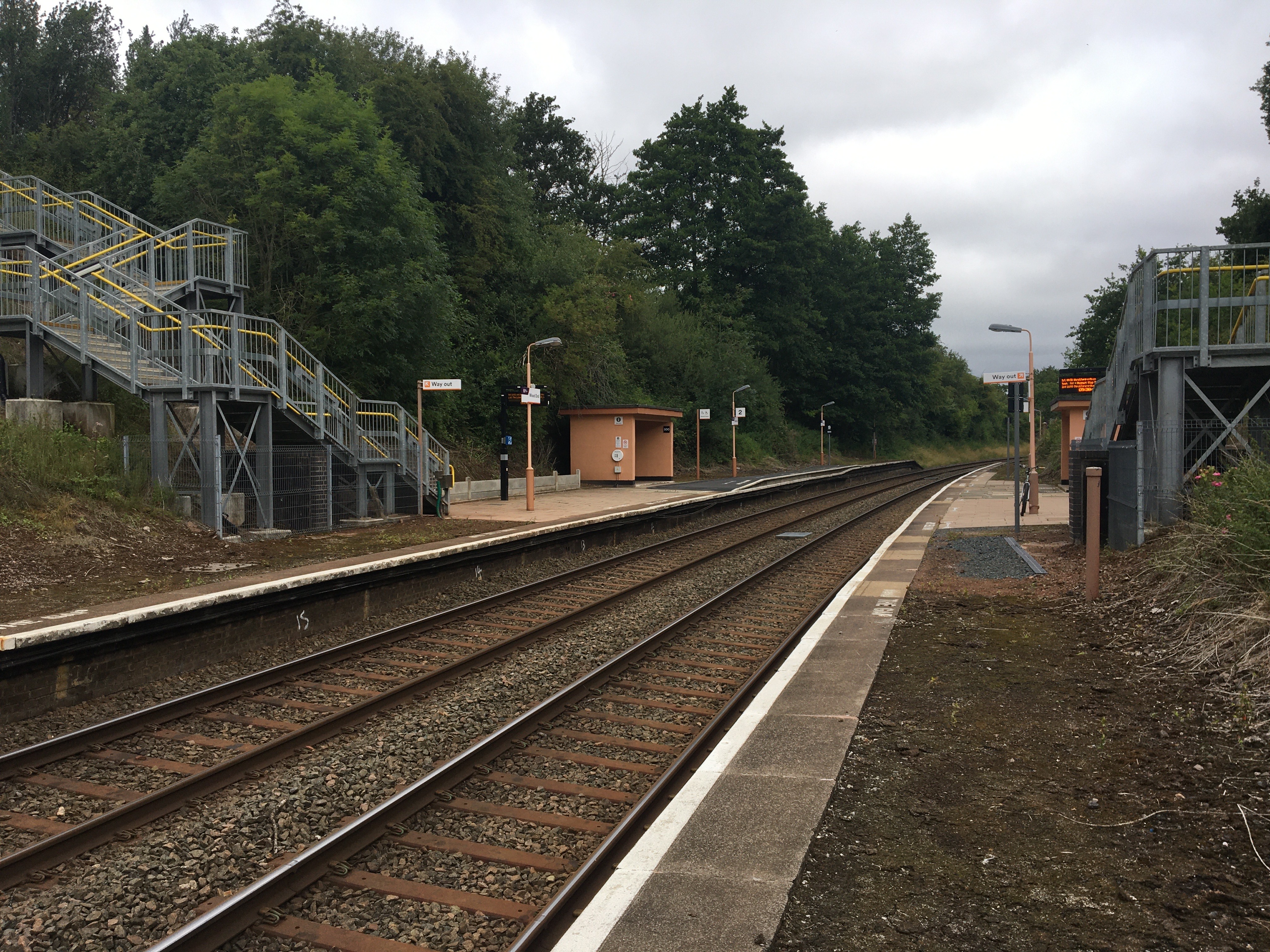
Wood End railway station

Wood End is a railway station on the North Warwickshire Line serving the village of Wood End in Warwickshire, England. Situated on the Stratford-upon-Avon...

Tanworth-in-Arden

Tanworth-in-Arden (; often abbreviated to Tanworth) is a village and civil parish in the county of Warwickshire, England. It is 12.5 miles (20 km) south...

Nearby Amenities

Located within 500m of 52.33346,-1.8866615
Barrier: kissing_gate
Lat/Long: 52.331726/-1.8896214
Power: pole
Source: bing
Lat/Long: 52.3294926/-1.8865263
Power: pole
Source: bing
Lat/Long: 52.329927/-1.8860677
Power: pole
Source: bing
Lat/Long: 52.3300024/-1.8849063
Power: pole
Source: bing
Lat/Long: 52.3300565/-1.8836671
Power: pole
Source: bing
Lat/Long: 52.3301188/-1.882546
Power: pole
Ref: 775897
Source: wpd_opendata
Transformer: distribution
Lat/Long: 52.330858/-1.8809152
Power: pole
Source: bing
Lat/Long: 52.3375237/-1.8840171
Power: pole
Source: bing
Lat/Long: 52.3369968/-1.88301
Power: pole
Ref: 775895
Source: wpd_opendata
Transformer: distribution
Lat/Long: 52.3368321/-1.8819787
Power: substation
Ref: 775902
Source: wpd_opendata
Lat/Long: 52.3366158/-1.8824159
Barrier: stile
Lat/Long: 52.3368077/-1.8880561
The data included in this document is from www.openstreetmap.org. The data is made available under ODbL.

Have you been to Carpenters Hill Wood?

Leave your review of Carpenters Hill Wood below (or comments, questions and feedback).