Boughden Braes
Wood, Forest in Lanarkshire
Scotland
Boughden Braes
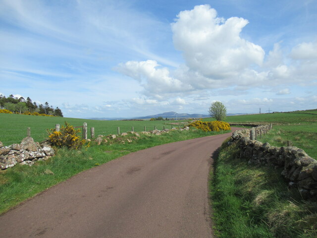
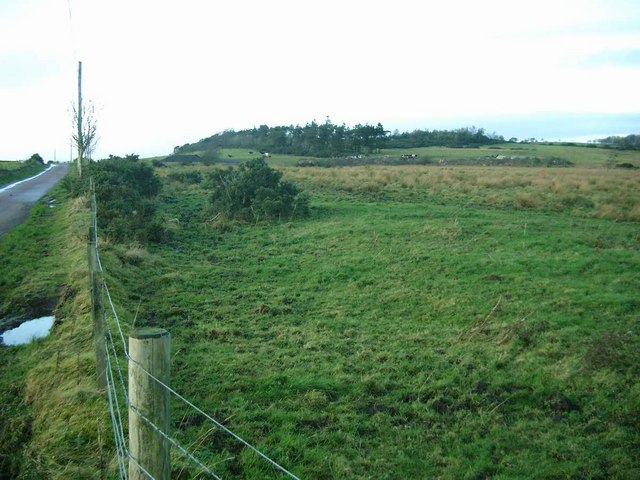
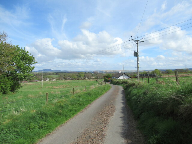
Boughden Braes, located in Lanarkshire, Scotland, is a stunning wood and forest area that offers visitors a tranquil and picturesque natural landscape. Covering a vast area, Boughden Braes is characterized by its dense woodland, rolling hills, and diverse wildlife.
The wood itself features a mixture of native Scottish trees, including oak, birch, and pine, creating a rich and varied ecosystem. The forest floor is carpeted with an array of wildflowers, adding bursts of color to the already captivating scenery. The gentle slopes and undulating terrain make it an ideal location for leisurely walks and hikes, allowing visitors to explore the area at their own pace.
Boughden Braes is also home to a wide range of wildlife, making it a popular spot for nature enthusiasts and birdwatchers. Visitors may spot various species of birds, such as owls, woodpeckers, and red kites, as well as mammals like deer, foxes, and squirrels. The forest is teeming with life, and lucky visitors may even catch a glimpse of some rare or elusive creatures.
With its natural beauty and serene atmosphere, Boughden Braes is a haven for those seeking respite from the hustle and bustle of everyday life. Whether it is a peaceful stroll through the woods or a more adventurous exploration of the forest trails, visitors to this enchanting woodland are sure to be captivated by its charm and tranquility.
If you have any feedback on the listing, please let us know in the comments section below.
Boughden Braes Images
Images are sourced within 2km of 55.628734/-3.8853924 or Grid Reference NS8138. Thanks to Geograph Open Source API. All images are credited.


Boughden Braes is located at Grid Ref: NS8138 (Lat: 55.628734, Lng: -3.8853924)
Unitary Authority: South Lanarkshire
Police Authority: Lanarkshire
What 3 Words
///playfully.tidy.interviewer. Near Lesmahagow, South Lanarkshire
Nearby Locations
Related Wikis
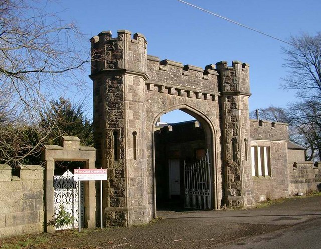
Birkwood Castle
Birkwood Castle, also known as Birkwood House, is a Gothic country house situated in Lesmahagow, South Lanarkshire, Scotland. Built in the 18th century...

Lesmahagow
Lesmahagow ( ; Scots: Lismahagie or Lesmahagae, Scottish Gaelic: Lios MoChuda) is a small town in the historic county of Lanarkshire on the edge of moorland...
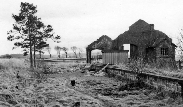
Brocketsbrae railway station
Brocketsbrae railway station served the hamlet of Brocketsbrae, South Lanarkshire, Scotland, from 1866 to 1951 on the Lesmahagow Junction to Bankend Colliery...

Auchlochan
Auchlochan is a village in South Lanarkshire, Scotland. It is on the River Nethan and is located near the villages of Birkwood, Braehead and Coalburn....
Nearby Amenities
Located within 500m of 55.628734,-3.8853924Have you been to Boughden Braes?
Leave your review of Boughden Braes below (or comments, questions and feedback).