Bloodmire Moss

Wood, Forest in Kirkcudbrightshire

Scotland

Bloodmire Moss

Curious walling close to Brooklands The high wall to the right of the road (A712), west of Crocketford is unusual. It has three sections, all crenellated with the centre one being taller than the others. The part nearest to the camera has a small, now roofless building incorporated into the rear. The structure stands opposite to the entrance to the property at Brooklands.
A possible folly?
Curious walling close to Brooklands Credit: Trevor Littlewood

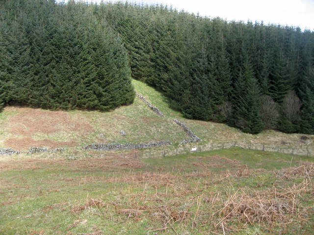
Bloodmire Moss is a woodland located in the region of Kirkcudbrightshire, Scotland. Nestled amidst the picturesque landscapes of the area, this forest covers a vast expanse with an approximate size of 500 acres. The moss is known for its unique name, derived from the reddish hue that covers the ground during certain seasons, giving it a mystifying appearance.

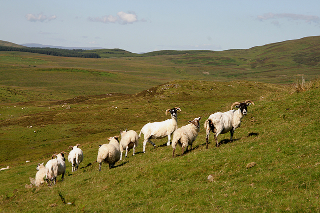
The forest is primarily composed of a variety of tree species, including oak, birch, and pine, which create a dense canopy overhead, providing shade and shelter for the diverse wildlife that inhabits the area. The moss is also home to a rich array of plant life, with an abundance of mosses, lichens, and ferns carpeting the forest floor.

Popular among nature enthusiasts and outdoor adventurers, Bloodmire Moss offers a network of walking trails that wind through the woodland, allowing visitors to immerse themselves in the tranquility of nature. These trails vary in difficulty levels, catering to both casual strollers and avid hikers.

Wildlife enthusiasts are often rewarded with sightings of various bird species such as woodpeckers, owls, and thrushes, as well as smaller mammals like squirrels and rabbits. Occasionally, lucky visitors may also catch a glimpse of larger mammals such as deer or foxes.

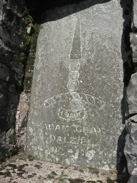
Bloodmire Moss is not only a haven for flora and fauna but also a place of historical significance. The forest has remnants of ancient settlements, with archaeological evidence suggesting its use by humans dating back thousands of years.

Visitors to Bloodmire Moss can enjoy a peaceful retreat from the bustling modern world, immersing themselves in the natural beauty and rich history of this enchanting woodland.

If you have any feedback on the listing, please let us know in the comments section below.

Bloodmire Moss Images

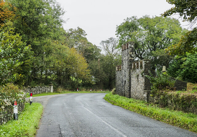
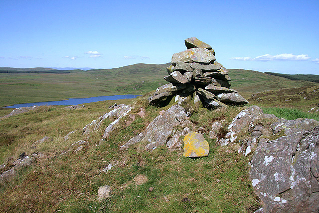
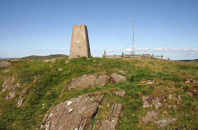
Images are sourced within 2km of 55.051926/-3.8578702 or Grid Reference NX8174. Thanks to Geograph Open Source API. All images are credited.

Curious walling close to Brooklands The high wall to the right of the road (A712), west of Crocketford is unusual. It has three sections, all crenellated with the centre one being taller than the others. The part nearest to the camera has a small, now roofless building incorporated into the rear. The structure stands opposite to the entrance to the property at Brooklands.
A possible folly?
Curious walling close to Brooklands
The high wall to the right of the road (A712), west of Crocketford is unusual. It has three sections, all crenellated with the centre one being taller than the others. The part nearest to the camera has a small, now roofless building incorporated into the rear. The structure stands opposite to the entrance to the property at Brooklands. A possible folly?
Covenanters' Monument The Covenanters' Monument on Bads Knowe.
This photo was taken on the 10th.September,2022.
Covenanters' Monument
The Covenanters' Monument on Bads Knowe. This photo was taken on the 10th.September,2022.
Covenanters' Grave The Covenanters' grave near Bads Knowe.
This photo was taken on the 10th September 2022.
Covenanters' Grave
The Covenanters' grave near Bads Knowe. This photo was taken on the 10th September 2022.
Small Lochan near Glenkiln A small overgrown man-made lochan near Glenkiln.
Small Lochan near Glenkiln
A small overgrown man-made lochan near Glenkiln.
Ruined Wall A ruined drystone wall disappearing into forestry.
Ruined Wall
A ruined drystone wall disappearing into forestry.
Forest Road
Forest Road
Yonder Lie The view from the Martyrs' monument <a href="https://www.geograph.org.uk/photo/797253">NX8175 : Larg Hill Martyrs' Monument Inscription</a> to their tomb <a href="https://www.geograph.org.uk/photo/797211">NX8175 : Bads Knowe: Martyrs' Tomb and Monument</a>.  The tomb is in the walled enclosure just visible in the distance in the centre of the photo.
Yonder Lie
The view from the Martyrs' monument NX8175 : Larg Hill Martyrs' Monument Inscription to their tomb NX8175 : Bads Knowe: Martyrs' Tomb and Monument. The tomb is in the walled enclosure just visible in the distance in the centre of the photo.
Entrance to Craigadam Woodlands
New home on Corsock road
Gatehouse for Brooklands House
Brooklands gatehouse
Brooklands Glen
Brooklands Glen
Brookland Belties
Brookland Belties
Approaching Brooklands Lodge
A cairn overlooking Lochenkit Loch This small cairn is to the north of Milharay Hill. Lochenkit Loch Reservoir is in the background to the left.
A cairn overlooking Lochenkit Loch
This small cairn is to the north of Milharay Hill. Lochenkit Loch Reservoir is in the background to the left.
The triangulation pillar on Milharay Hill Trig point S7975 is at 296m with an automatic weather station nearby.
The triangulation pillar on Milharay Hill
Trig point S7975 is at 296m with an automatic weather station nearby.
Sheep at Maiden's Craig This hill farming area is grazed by sheep and cattle.
Sheep at Maiden's Craig
This hill farming area is grazed by sheep and cattle.
Memorial Inscription in "Kings Chair" The inscription in the "Kings Chair". 
The motto is "I dare" and the inscription:
Adam Gray Dalziel 1910 - 1961

Adam is apparently buried in Tinwald Churchyard <span class="nowrap"><a title="http://homepages.rootsweb.ancestry.com/~scottish/indextinwaldchrh.html" rel="nofollow ugc noopener" href="http://homepages.rootsweb.ancestry.com/~scottish/indextinwaldchrh.html">Link</a><img style="margin-left:2px;" alt="External link" title="External link - shift click to open in new window" src="https://s1.geograph.org.uk/img/external.png" width="10" height="10"/></span>
Memorial Inscription in "Kings Chair"
The inscription in the "Kings Chair". The motto is "I dare" and the inscription: Adam Gray Dalziel 1910 - 1961 Adam is apparently buried in Tinwald Churchyard LinkExternal link
Show me another place!

Bloodmire Moss is located at Grid Ref: NX8174 (Lat: 55.051926, Lng: -3.8578702)

Unitary Authority: Dumfries and Galloway

Police Authority: Dumfries and Galloway

What 3 Words

///linguists.beams.rots. Near Castle Douglas, Dumfries & Galloway

Related Wikis

Crocketford

Crocketford (/ˈkrɒkɪtfɔːd/, also frequently /ˈkrɒkɪtfəd/) also known as Ninemile Bar (Scottish Gaelic: Ath Crogaid), as it is approximately equidistant...
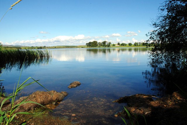
Milton Loch

Milton Loch is an alkaline freshwater loch located in Dumfries and Galloway, Scotland. In the loch and nearby are archaeological sites including three...

Glenkiln Sculpture Park

Glenkiln Sculpture Park was a sculpture landscape in the historic county of Kirkcudbrightshire in Dumfries and Galloway, south-west Scotland. After one...

Springholm

Springholm is a village in the historical county of Kirkcudbrightshire in Dumfries and Galloway, Scotland. It is located 14 miles (23 km) west of Dumfries...

Have you been to Bloodmire Moss?

Leave your review of Bloodmire Moss below (or comments, questions and feedback).