Turnburn Brae
Wood, Forest in Lanarkshire
Scotland
Turnburn Brae
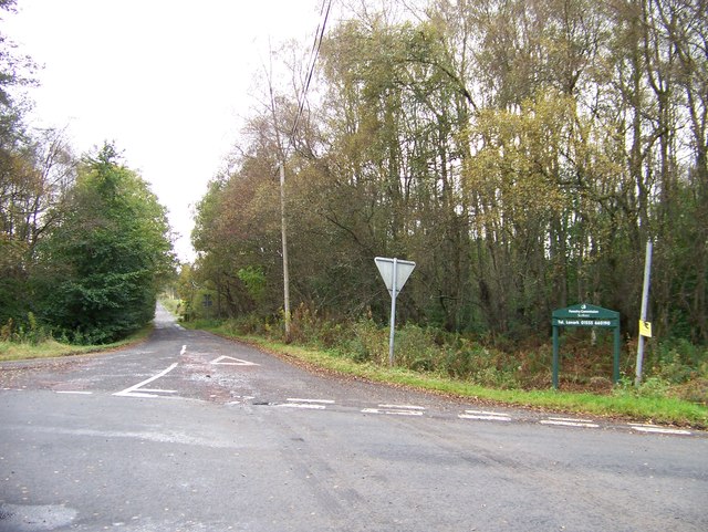
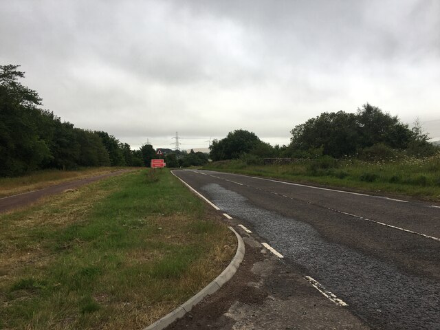
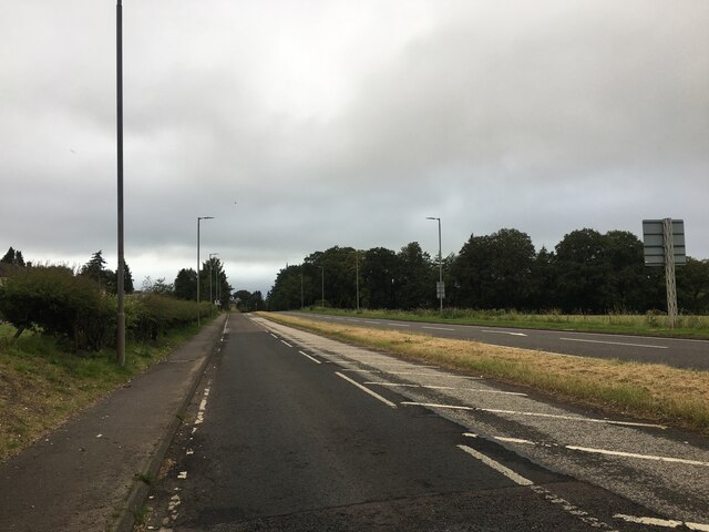
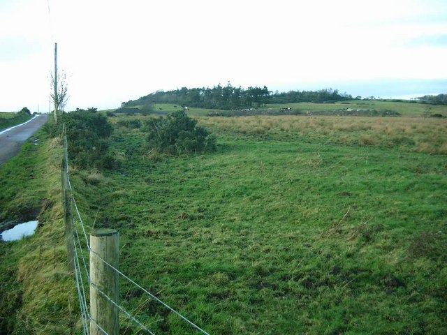
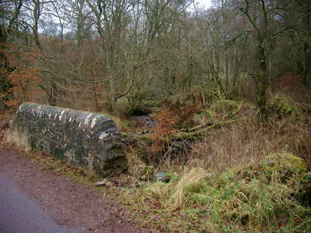
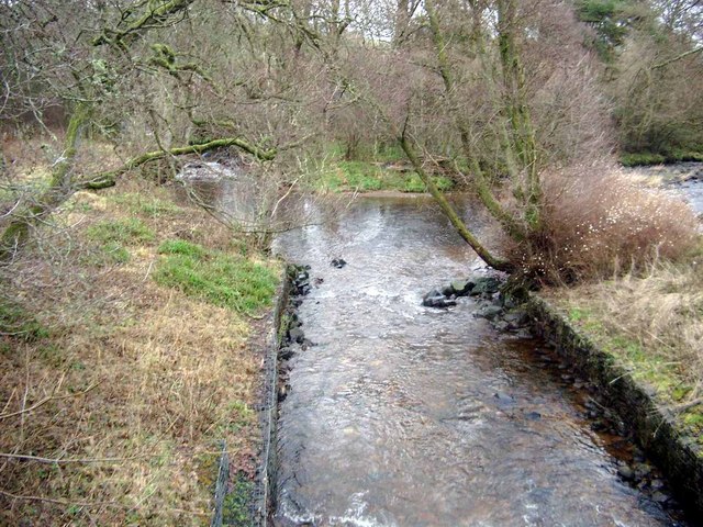
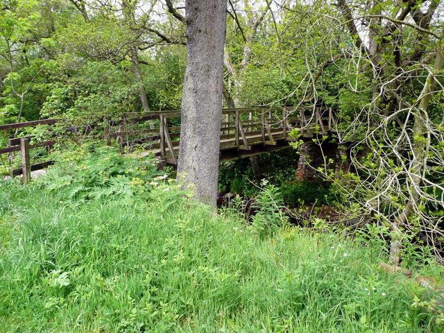
Turnburn Brae is a scenic wood located in the heart of Lanarkshire, Scotland. Spanning across an area of approximately 100 acres, this forest offers visitors a tranquil escape from the hustle and bustle of everyday life. The wood is situated on a gently sloping hillside and is characterized by a diverse range of tree species, including oak, beech, birch, and pine.
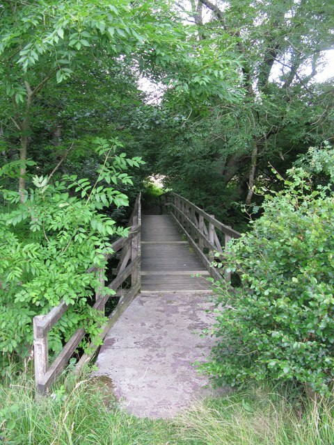
As visitors enter Turnburn Brae, they are greeted by a well-maintained network of walking trails that wind their way through the wood, allowing for a leisurely exploration of the natural surroundings. The trails vary in difficulty, catering to both casual strollers and more experienced hikers. Along the way, visitors may encounter a variety of wildlife, such as squirrels, deer, and various bird species, adding to the charm of the wood.
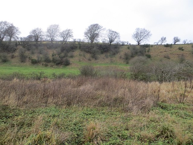
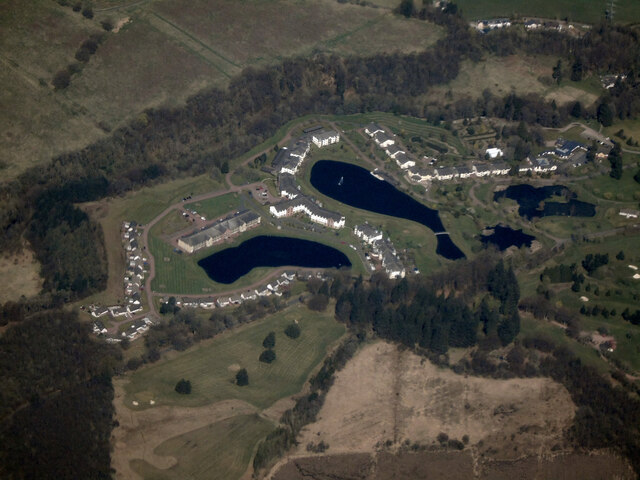
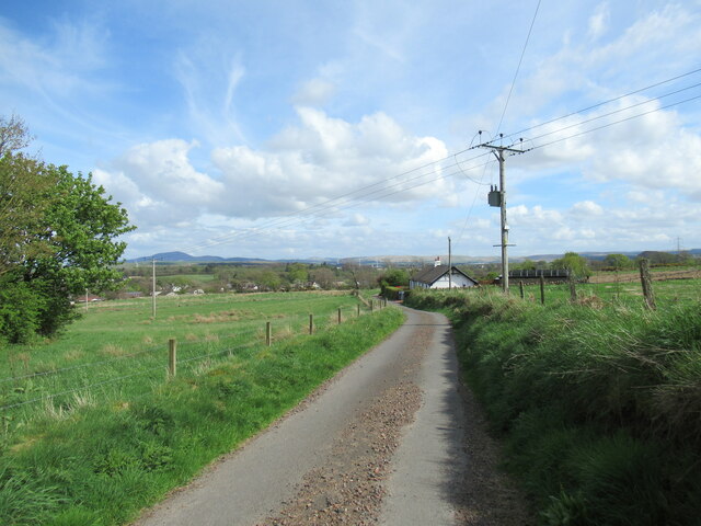
One of the highlights of Turnburn Brae is its stunning panoramic views. From certain vantage points within the wood, visitors can enjoy breathtaking vistas of the surrounding Lanarkshire countryside, with its rolling hills and picturesque farmland.
The wood is also a popular spot for outdoor activities such as picnicking, birdwatching, and photography. The peaceful atmosphere and abundance of natural beauty make Turnburn Brae an ideal destination for those seeking a tranquil retreat.
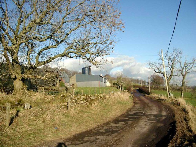
Managed by the local forestry commission, Turnburn Brae is well-maintained and easily accessible. It is open year-round, allowing visitors to enjoy the changing seasons and the unique beauty they bring to the wood.
If you have any feedback on the listing, please let us know in the comments section below.
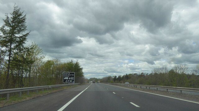
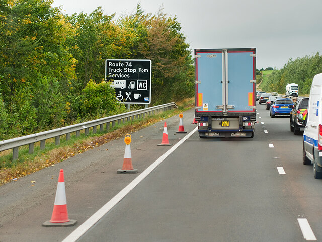
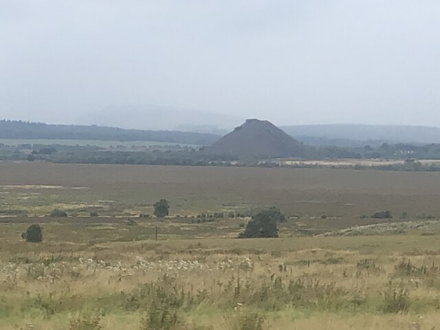
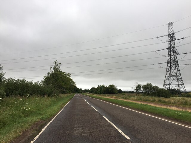
Turnburn Brae Images
Images are sourced within 2km of 55.618716/-3.8852607 or Grid Reference NS8137. Thanks to Geograph Open Source API. All images are credited.

Turnburn Brae is located at Grid Ref: NS8137 (Lat: 55.618716, Lng: -3.8852607)
Unitary Authority: South Lanarkshire
Police Authority: Lanarkshire
What 3 Words
///models.aunts.moisture. Near Lesmahagow, South Lanarkshire
Nearby Locations
Related Wikis

Auchlochan
Auchlochan is a village in South Lanarkshire, Scotland. It is on the River Nethan and is located near the villages of Birkwood, Braehead and Coalburn....

Alton Heights Junction railway station
Alton Heights Junction railway station was a short-lived station located south of Lesmahagow in the Scottish county of South Lanarkshire. == History... ==
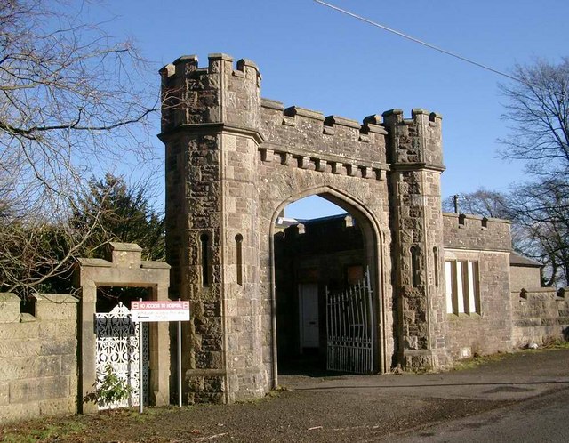
Birkwood Castle
Birkwood Castle, also known as Birkwood House, is a Gothic country house situated in Lesmahagow, South Lanarkshire, Scotland. Built in the 18th century...
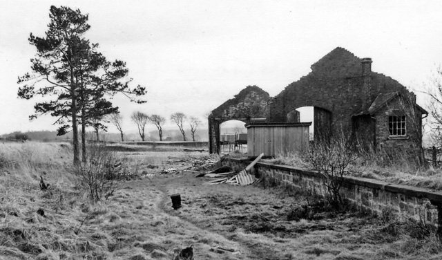
Brocketsbrae railway station
Brocketsbrae railway station served the hamlet of Brocketsbrae, South Lanarkshire, Scotland, from 1866 to 1951 on the Lesmahagow Junction to Bankend Colliery...
Auchlochan Platform railway station
Auchlochan Platform railway station served Auchlochan, a village in the county of South Lanarkshire, Scotland. It was served by local trains on the Coalburn...
Lesmahagow
Lesmahagow ( ; Scots: Lismahagie or Lesmahagae, Scottish Gaelic: Lios MoChuda) is a small town in the historic county of Lanarkshire on the edge of moorland...
Lesmahagow F.C.
Lesmahagow Junior Football Club is a Scottish football club based in the town of Lesmahagow, South Lanarkshire, located just off the M74 motorway approximately...
Lesmahagow railway station
Lesmahagow railway station served the town of Lesmahagow, South Lanarkshire, Scotland, from 1866 to 1965 on the Blackwood Junction to Alton Heights Junction...
Nearby Amenities
Located within 500m of 55.618716,-3.8852607Have you been to Turnburn Brae?
Leave your review of Turnburn Brae below (or comments, questions and feedback).