Springvale Wood

Wood, Forest in Stirlingshire

Scotland

Springvale Wood

Road to Boards Quarry Now blocked off.
Road to Boards Quarry Credit: Richard Webb

Springvale Wood is a picturesque forest located in Stirlingshire, Scotland. Covering an area of approximately 500 acres, the wood is a stunning example of the region's natural beauty. It is situated near the town of Stirling and is easily accessible to both locals and tourists.

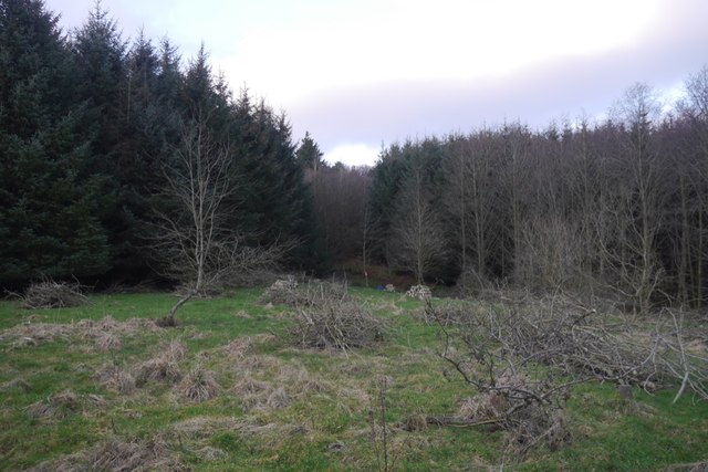
The woodland is characterized by its diverse range of trees, including oak, birch, and pine. These trees create a dense canopy that provides a home to a variety of wildlife. Visitors to Springvale Wood can expect to see a wide range of animals, such as red squirrels, roe deer, and numerous species of birds.

The wood is crisscrossed with well-maintained walking trails, making it an ideal destination for nature lovers and outdoor enthusiasts. The trails cater to different levels of difficulty, ensuring that everyone can enjoy a leisurely stroll or a more challenging hike. Along the way, visitors can admire the vibrant wildflowers, listen to the rustling leaves, and breathe in the fresh, fragrant air.

Springvale Wood offers more than just natural beauty. It also boasts a rich history, with remnants of ancient settlements and structures scattered throughout the forest. Archaeological evidence suggests that the wood has been occupied by humans for thousands of years, adding a layer of intrigue to the already captivating landscape.

Overall, Springvale Wood is a tranquil haven that offers a perfect escape from the hustle and bustle of everyday life. Whether you're seeking a peaceful walk, a glimpse of wildlife, or a deeper connection with history, this enchanting forest has something to offer everyone.

If you have any feedback on the listing, please let us know in the comments section below.

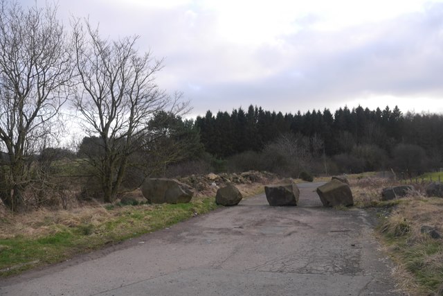
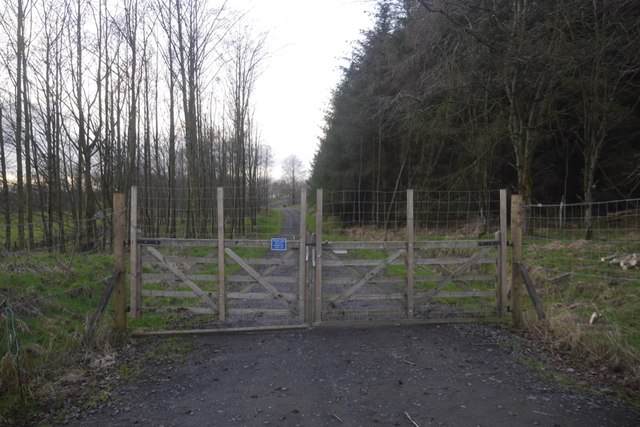
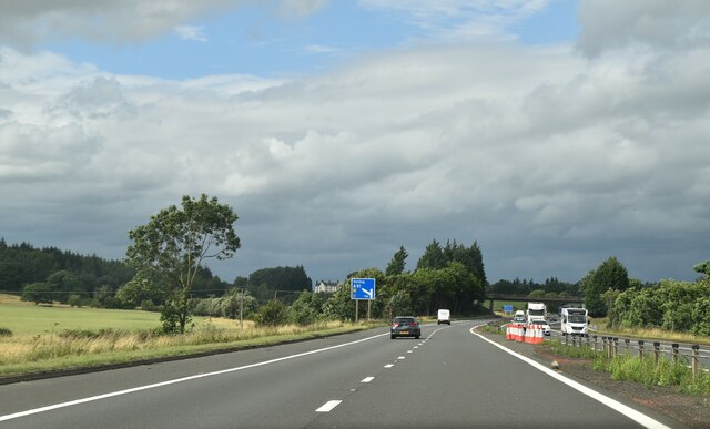
Springvale Wood Images

Images are sourced within 2km of 56.06045/-3.9067994 or Grid Reference NS8186. Thanks to Geograph Open Source API. All images are credited.

Road to Boards Quarry Now blocked off.
Road to Boards Quarry
Now blocked off.
New road, Barr Wood The road, which is new and not on the latest edition of the orienteering map runs up to a shelter at NS790867. It has been used to extract timber and services the scout camp without destroying the wild feel of the part of the camp most often used.
New road, Barr Wood
The road, which is new and not on the latest edition of the orienteering map runs up to a shelter at NS790867. It has been used to extract timber and services the scout camp without destroying the wild feel of the part of the camp most often used.
Barr Wood By the new road on the edge of the woodland. This is a small commercial plantation and does not appear to be used by the Scout camp.
Barr Wood
By the new road on the edge of the woodland. This is a small commercial plantation and does not appear to be used by the Scout camp.
Memorial, Plean Country Park Dedicated to
the coal-miners who
worked and died
in the Plean Pits
Memorial, Plean Country Park
Dedicated to the coal-miners who worked and died in the Plean Pits
Former walled garden, Plean Country Park Originally serving Plean House <a href="https://www.geograph.org.uk/photo/2034821">NS8286 : Plean House (ruin)</a>.
Former walled garden, Plean Country Park
Originally serving Plean House NS8286 : Plean House (ruin).
Former walled garden, Plean Country Park Originally serving Plean House <a href="https://www.geograph.org.uk/photo/2034821">NS8286 : Plean House (ruin)</a>.
Former walled garden, Plean Country Park
Originally serving Plean House NS8286 : Plean House (ruin).
Horse Trailer Parking A 'car' park only for the use of vehicles with horse trailers, having sufficient space to be able to turn around.
Horse Trailer Parking
A 'car' park only for the use of vehicles with horse trailers, having sufficient space to be able to turn around.
Horses in a field Beside West Plean.
Horses in a field
Beside West Plean.
West Plean Farm buildings.
West Plean
Farm buildings.
M80, northbound The M80 joins Glasgow to Stirling. It runs 25 miles from Glasgow to Bannockburn.
<span class="nowrap"><a title="https://www.sabre-roads.org.uk/wiki/index.php?title=M80" rel="nofollow ugc noopener" href="https://www.sabre-roads.org.uk/wiki/index.php?title=M80">Link</a><img style="margin-left:2px;" alt="External link" title="External link - shift click to open in new window" src="https://s1.geograph.org.uk/img/external.png" width="10" height="10"/></span>
M80, northbound
The M80 joins Glasgow to Stirling. It runs 25 miles from Glasgow to Bannockburn. LinkExternal link
Access bridge, M80 The M80 joins Glasgow to Stirling. It runs 25 miles from Glasgow to Bannockburn.
<span class="nowrap"><a title="https://www.sabre-roads.org.uk/wiki/index.php?title=M80" rel="nofollow ugc noopener" href="https://www.sabre-roads.org.uk/wiki/index.php?title=M80">Link</a><img style="margin-left:2px;" alt="External link" title="External link - shift click to open in new window" src="https://s1.geograph.org.uk/img/external.png" width="10" height="10"/></span>
Access bridge, M80
The M80 joins Glasgow to Stirling. It runs 25 miles from Glasgow to Bannockburn. LinkExternal link
Tourist information on M80 The M80 joins Glasgow to Stirling. It runs 25 miles from Glasgow to Bannockburn.
<span class="nowrap"><a title="https://www.sabre-roads.org.uk/wiki/index.php?title=M80" rel="nofollow ugc noopener" href="https://www.sabre-roads.org.uk/wiki/index.php?title=M80">Link</a><img style="margin-left:2px;" alt="External link" title="External link - shift click to open in new window" src="https://s1.geograph.org.uk/img/external.png" width="10" height="10"/></span>
Tourist information on M80
The M80 joins Glasgow to Stirling. It runs 25 miles from Glasgow to Bannockburn. LinkExternal link
M80, northbound The M80 joins Glasgow to Stirling. It runs 25 miles from Glasgow to Bannockburn.
<span class="nowrap"><a title="https://www.sabre-roads.org.uk/wiki/index.php?title=M80" rel="nofollow ugc noopener" href="https://www.sabre-roads.org.uk/wiki/index.php?title=M80">Link</a><img style="margin-left:2px;" alt="External link" title="External link - shift click to open in new window" src="https://s1.geograph.org.uk/img/external.png" width="10" height="10"/></span>
M80, northbound
The M80 joins Glasgow to Stirling. It runs 25 miles from Glasgow to Bannockburn. LinkExternal link
M80, northbound approaching J9 The M80 joins Glasgow to Stirling. It runs 25 miles from Glasgow to Bannockburn.
<span class="nowrap"><a title="https://www.sabre-roads.org.uk/wiki/index.php?title=M80" rel="nofollow ugc noopener" href="https://www.sabre-roads.org.uk/wiki/index.php?title=M80">Link</a><img style="margin-left:2px;" alt="External link" title="External link - shift click to open in new window" src="https://s1.geograph.org.uk/img/external.png" width="10" height="10"/></span>
M80, northbound approaching J9
The M80 joins Glasgow to Stirling. It runs 25 miles from Glasgow to Bannockburn. LinkExternal link
M80, northbound The M80 joins Glasgow to Stirling. It runs 25 miles from Glasgow to Bannockburn.
<span class="nowrap"><a title="https://www.sabre-roads.org.uk/wiki/index.php?title=M80" rel="nofollow ugc noopener" href="https://www.sabre-roads.org.uk/wiki/index.php?title=M80">Link</a><img style="margin-left:2px;" alt="External link" title="External link - shift click to open in new window" src="https://s1.geograph.org.uk/img/external.png" width="10" height="10"/></span>
M80, northbound
The M80 joins Glasgow to Stirling. It runs 25 miles from Glasgow to Bannockburn. LinkExternal link
Post Box at Stirling Services FK7 214. Royal Mail list this box as 'Moto Service Station'.
Post Box at Stirling Services
FK7 214. Royal Mail list this box as 'Moto Service Station'.
Minor road near Auchenbowie Wood Looking eastward. In the far distance a section of the M80 motorway can be seen.
Minor road near Auchenbowie Wood
Looking eastward. In the far distance a section of the M80 motorway can be seen.
Show me another place!

Springvale Wood is located at Grid Ref: NS8186 (Lat: 56.06045, Lng: -3.9067994)

Unitary Authority: Stirling

Police Authority: Forth Valley

What 3 Words

///nerd.cabin.waistcoat. Near Plean, Stirling

Related Wikis

Battle of Sauchieburn

The Battle of Sauchieburn was fought on 11 June 1488, at the side of Sauchie Burn, a stream about two miles (3 km) south of Stirling, Scotland. The battle...
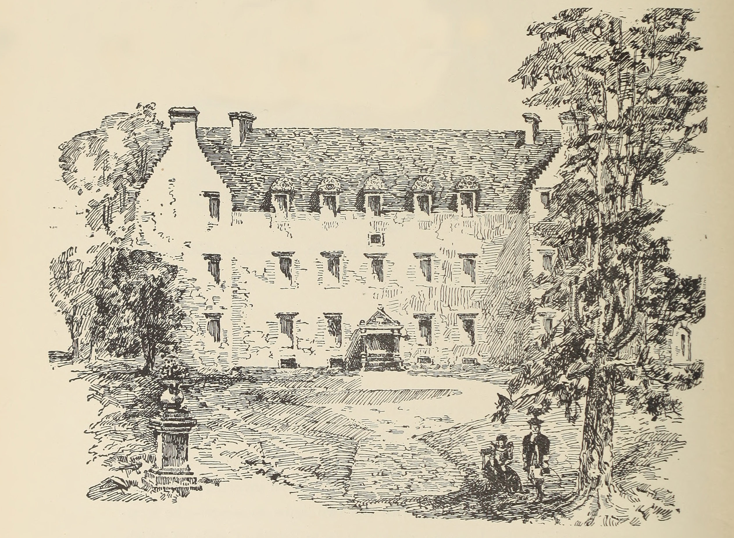
Auchenbowie House

Auchenbowie House is a laird's house (mansion) in Stirling, Scotland. The location is about 3.5 miles (5.6 km) south of Stirling, on minor road west of...
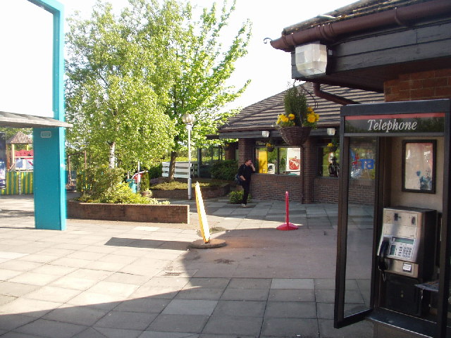
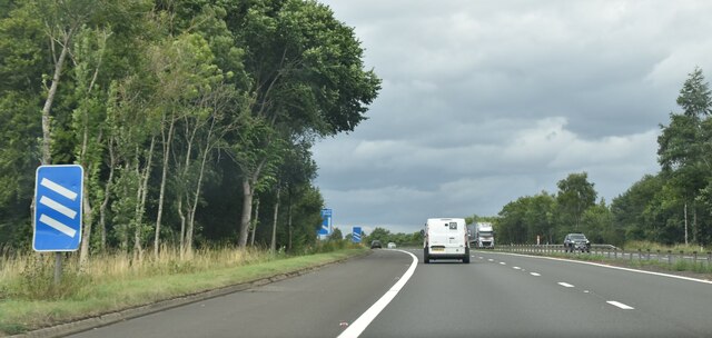
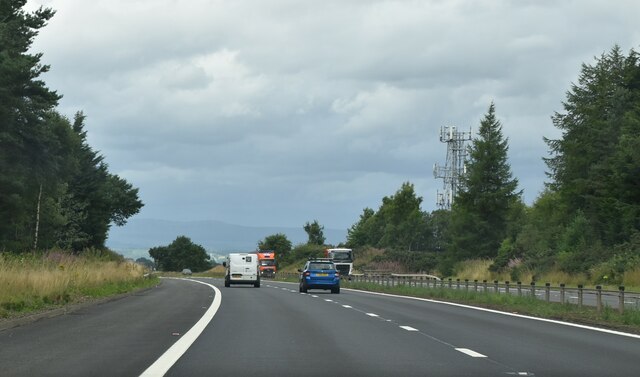
Stirling services

Stirling services is a motorway service station near Stirling, Scotland. The service station is located where the M9 motorway and M80 motorway join. It...

Bannockburn House

Bannockburn House is a property of historical significance in the town of Bannockburn. It is a Category A listed building. == History == Bannockburn House...

Plean

Plean is a village, in the Stirling council area of central Scotland, located on the main A9 road from Falkirk. At the 2001 census, Plean had a population...

William Simpson's Home

The William Simpson's Home is a care home in Plean, Scotland. It provides care for members of the armed services who have developed mental health or alcohol...

Plean railway station

Plean railway station served the village of Plean, Stirlingshire, Scotland from 1904 to 1956 on the Scottish Central Railway. == History == The station...

Tappoch Broch

Tappoch Broch, better known as Torwood Broch, is an iron-age broch located in a remote spot in dense woodland near Falkirk, Scotland. == History == Tappoch...

Nearby Amenities

Located within 500m of 56.06045,-3.9067994
Power: pole
Lat/Long: 56.058961/-3.8995657
Power: pole
Lat/Long: 56.0593158/-3.9000711
Power: pole
Lat/Long: 56.0596921/-3.9005919
Power: pole
Lat/Long: 56.0600826/-3.9011382
Power: pole
Lat/Long: 56.0604062/-3.9016309
Power: pole
Lat/Long: 56.0607725/-3.9021388
Power: pole
Lat/Long: 56.061143/-3.9026673
Power: pole
Lat/Long: 56.0615164/-3.903211
Power: pole
Lat/Long: 56.0618941/-3.9037547
Power: pole
Lat/Long: 56.0622974/-3.9043138
Power: pole
Lat/Long: 56.0626651/-3.9048448
Power: pole
Lat/Long: 56.0632631/-3.9045403
Power: pole
Lat/Long: 56.0610036/-3.9142457
Power: pole
Lat/Long: 56.0603496/-3.9127978
Power: pole
Lat/Long: 56.0599308/-3.911903
Power: pole
Lat/Long: 56.0594031/-3.9107988
Power: pole
Lat/Long: 56.0589703/-3.9096589
Power: pole
Lat/Long: 56.0585678/-3.9085902
Power: pole
Lat/Long: 56.0580132/-3.9071653
Power: pole
Lat/Long: 56.0577301/-3.9064026
Power: pole
Lat/Long: 56.0575078/-3.9048667
Power: pole
Lat/Long: 56.0573627/-3.9031505
Power: pole
Lat/Long: 56.060373/-3.9142771
Power: pole
Lat/Long: 56.0597822/-3.9141032
Power: pole
Lat/Long: 56.0592089/-3.9139104
Power: pole
Lat/Long: 56.0575885/-3.9068154
Power: pole
Lat/Long: 56.0573662/-3.9074692
Power: pole
Lat/Long: 56.0569204/-3.9087369
Power: pole
Lat/Long: 56.0637083/-3.903799
Power: pole
Lat/Long: 56.0641715/-3.9030573
The data included in this document is from www.openstreetmap.org. The data is made available under ODbL.

Have you been to Springvale Wood?

Leave your review of Springvale Wood below (or comments, questions and feedback).