Craw Hill

Hill, Mountain in Stirlingshire

Scotland

Craw Hill

Road to Boards Quarry Now blocked off.
Road to Boards Quarry Credit: Richard Webb

Craw Hill is a prominent hill located in Stirlingshire, Scotland. Situated near the village of Kippen, it is part of the Campsie Fells range, which forms the boundary between Stirlingshire and the neighboring region of East Dunbartonshire. Standing at an elevation of approximately 379 meters (1,243 feet), Craw Hill offers breathtaking panoramic views of the surrounding landscape.

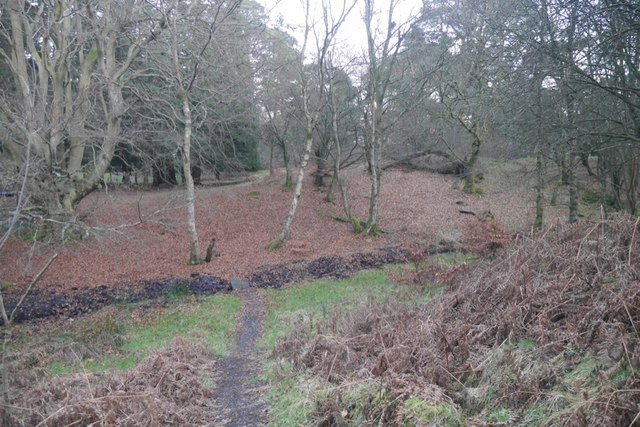
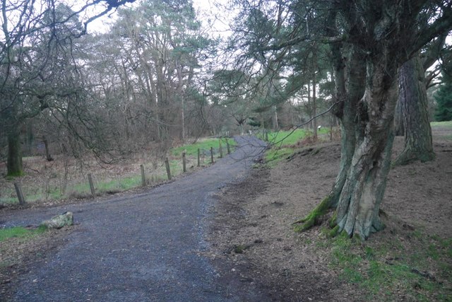
The hill is easily accessible, with several walking trails and paths leading to its summit. These routes cater to both experienced hikers and casual walkers, making it a popular destination for outdoor enthusiasts of all levels. The climb to the top is moderately challenging, with some steep sections, but the effort is rewarded with stunning views across the Forth Valley, Loch Lomond, and the Trossachs National Park.

Craw Hill is renowned for its diverse flora and fauna, with heather, grasses, and wildflowers adorning its slopes. The hill is also home to a variety of bird species, including buzzards, kestrels, and peregrine falcons, making it a haven for birdwatchers.

Aside from its natural beauty, Craw Hill holds historical significance as well. The remains of an Iron Age fort, known as Craw Stane, can be found on the hill's eastern slopes. Archaeological evidence suggests that the fort was occupied between 700 BC and 200 BC, providing insights into the ancient inhabitants of the area.

Overall, Craw Hill offers a wonderful outdoor experience, combining stunning vistas, diverse wildlife, and a touch of history, making it a must-visit destination for nature lovers and history enthusiasts alike.

If you have any feedback on the listing, please let us know in the comments section below.
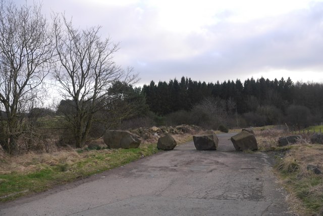
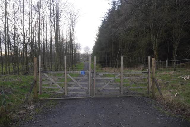
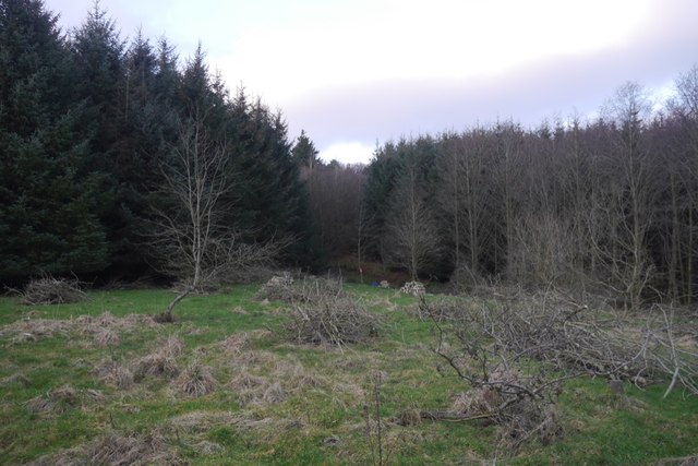
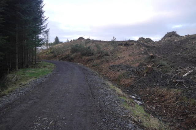
Craw Hill Images

Images are sourced within 2km of 56.053935/-3.910878 or Grid Reference NS8186. Thanks to Geograph Open Source API. All images are credited.

Road to Boards Quarry Now blocked off.
Road to Boards Quarry
Now blocked off.
New road, Barr Wood The road, which is new and not on the latest edition of the orienteering map runs up to a shelter at NS790867. It has been used to extract timber and services the scout camp without destroying the wild feel of the part of the camp most often used.
New road, Barr Wood
The road, which is new and not on the latest edition of the orienteering map runs up to a shelter at NS790867. It has been used to extract timber and services the scout camp without destroying the wild feel of the part of the camp most often used.
Barr Wood By the new road on the edge of the woodland. This is a small commercial plantation and does not appear to be used by the Scout camp.
Barr Wood
By the new road on the edge of the woodland. This is a small commercial plantation and does not appear to be used by the Scout camp.
New road and felled area, Barr Wood The road is of very recent construction.
New road and felled area, Barr Wood
The road is of very recent construction.
Barr Wood Much of the wood is used as a Scout camp, so best visited in Winter.
Barr Wood
Much of the wood is used as a Scout camp, so best visited in Winter.
Path, Barr Wood Newly upgraded path. The wood is used as a Scout camp.
Path, Barr Wood
Newly upgraded path. The wood is used as a Scout camp.
M80, northbound The M80 joins Glasgow to Stirling. It runs 25 miles from Glasgow to Bannockburn.
<span class="nowrap"><a title="https://www.sabre-roads.org.uk/wiki/index.php?title=M80" rel="nofollow ugc noopener" href="https://www.sabre-roads.org.uk/wiki/index.php?title=M80">Link</a><img style="margin-left:2px;" alt="External link" title="External link - shift click to open in new window" src="https://s1.geograph.org.uk/img/external.png" width="10" height="10"/></span>
M80, northbound
The M80 joins Glasgow to Stirling. It runs 25 miles from Glasgow to Bannockburn. LinkExternal link
Access bridge, M80 The M80 joins Glasgow to Stirling. It runs 25 miles from Glasgow to Bannockburn.
<span class="nowrap"><a title="https://www.sabre-roads.org.uk/wiki/index.php?title=M80" rel="nofollow ugc noopener" href="https://www.sabre-roads.org.uk/wiki/index.php?title=M80">Link</a><img style="margin-left:2px;" alt="External link" title="External link - shift click to open in new window" src="https://s1.geograph.org.uk/img/external.png" width="10" height="10"/></span>
Access bridge, M80
The M80 joins Glasgow to Stirling. It runs 25 miles from Glasgow to Bannockburn. LinkExternal link
Tourist information on M80 The M80 joins Glasgow to Stirling. It runs 25 miles from Glasgow to Bannockburn.
<span class="nowrap"><a title="https://www.sabre-roads.org.uk/wiki/index.php?title=M80" rel="nofollow ugc noopener" href="https://www.sabre-roads.org.uk/wiki/index.php?title=M80">Link</a><img style="margin-left:2px;" alt="External link" title="External link - shift click to open in new window" src="https://s1.geograph.org.uk/img/external.png" width="10" height="10"/></span>
Tourist information on M80
The M80 joins Glasgow to Stirling. It runs 25 miles from Glasgow to Bannockburn. LinkExternal link
M80, northbound The M80 joins Glasgow to Stirling. It runs 25 miles from Glasgow to Bannockburn.
<span class="nowrap"><a title="https://www.sabre-roads.org.uk/wiki/index.php?title=M80" rel="nofollow ugc noopener" href="https://www.sabre-roads.org.uk/wiki/index.php?title=M80">Link</a><img style="margin-left:2px;" alt="External link" title="External link - shift click to open in new window" src="https://s1.geograph.org.uk/img/external.png" width="10" height="10"/></span>
M80, northbound
The M80 joins Glasgow to Stirling. It runs 25 miles from Glasgow to Bannockburn. LinkExternal link
M80, northbound approaching J9 The M80 joins Glasgow to Stirling. It runs 25 miles from Glasgow to Bannockburn.
<span class="nowrap"><a title="https://www.sabre-roads.org.uk/wiki/index.php?title=M80" rel="nofollow ugc noopener" href="https://www.sabre-roads.org.uk/wiki/index.php?title=M80">Link</a><img style="margin-left:2px;" alt="External link" title="External link - shift click to open in new window" src="https://s1.geograph.org.uk/img/external.png" width="10" height="10"/></span>
M80, northbound approaching J9
The M80 joins Glasgow to Stirling. It runs 25 miles from Glasgow to Bannockburn. LinkExternal link
Minor road near Auchenbowie Wood Looking eastward. In the far distance a section of the M80 motorway can be seen.
Minor road near Auchenbowie Wood
Looking eastward. In the far distance a section of the M80 motorway can be seen.
Northfield Looking towards the farm.
Northfield
Looking towards the farm.
Boards Quarry entrance If you ignored the signs you might think you were entering a country estate.
Boards Quarry entrance
If you ignored the signs you might think you were entering a country estate.
Barr Wood, boundary dyke They use big stones in these parts to build their dykes.
Barr Wood, boundary dyke
They use big stones in these parts to build their dykes.
Banks of Broom Near Myres Farm, south of Barr wood.
Banks of Broom
Near Myres Farm, south of Barr wood.
Show me another place!

Craw Hill is located at Grid Ref: NS8186 (Lat: 56.053935, Lng: -3.910878)

Unitary Authority: Stirling

Police Authority: Forth Valley

What 3 Words

///scatter.caused.pampered. Near Plean, Stirling

Related Wikis

Battle of Sauchieburn

The Battle of Sauchieburn was fought on 11 June 1488, at the side of Sauchie Burn, a stream about two miles (3 km) south of Stirling, Scotland. The battle...

Auchenbowie House

Auchenbowie House is a laird's house (mansion) in Stirling, Scotland. The location is about 3.5 miles (5.6 km) south of Stirling, on minor road west of...

Tappoch Broch

Tappoch Broch, better known as Torwood Broch, is an iron-age broch located in a remote spot in dense woodland near Falkirk, Scotland. == History == Tappoch...
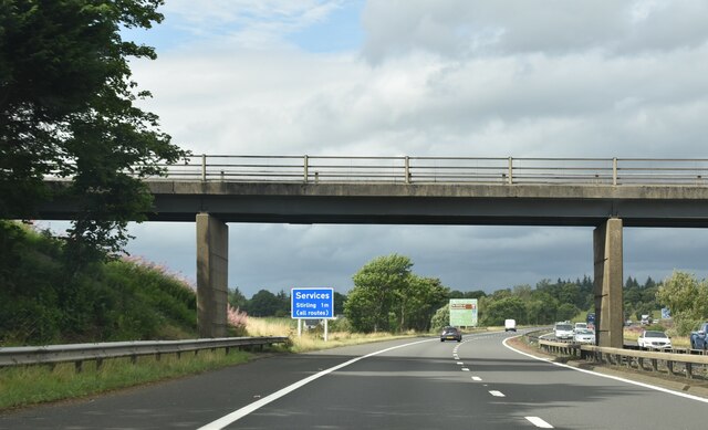
Stirling services

Stirling services is a motorway service station near Stirling, Scotland. The service station is located where the M9 motorway and M80 motorway join. It...

Nearby Amenities

Located within 500m of 56.053935,-3.910878
Generator Method: wind_turbine
Generator Source: wind
Power: generator
Lat/Long: 56.0548161/-3.9114686
Power: pole
Lat/Long: 56.0575885/-3.9068154
Power: pole
Lat/Long: 56.0573662/-3.9074692
Power: pole
Lat/Long: 56.0569204/-3.9087369
Power: pole
Lat/Long: 56.0561143/-3.9095667
Power: pole
Lat/Long: 56.055424/-3.9102854
Power: pole
Lat/Long: 56.0547547/-3.9109727
The data included in this document is from www.openstreetmap.org. The data is made available under ODbL.

Have you been to Craw Hill?

Leave your review of Craw Hill below (or comments, questions and feedback).