Carn Fadryn
Settlement in Caernarfonshire
Wales
Carn Fadryn

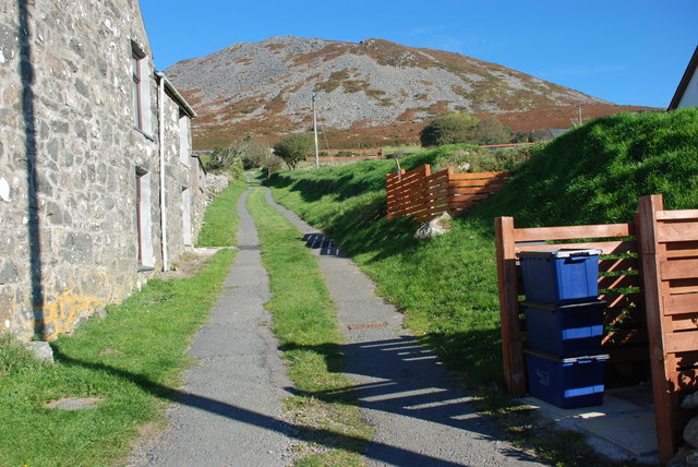
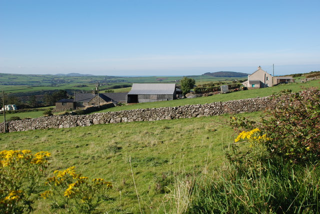
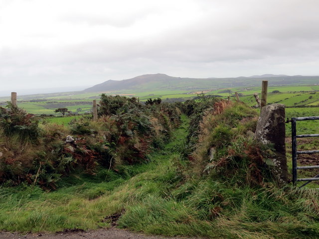
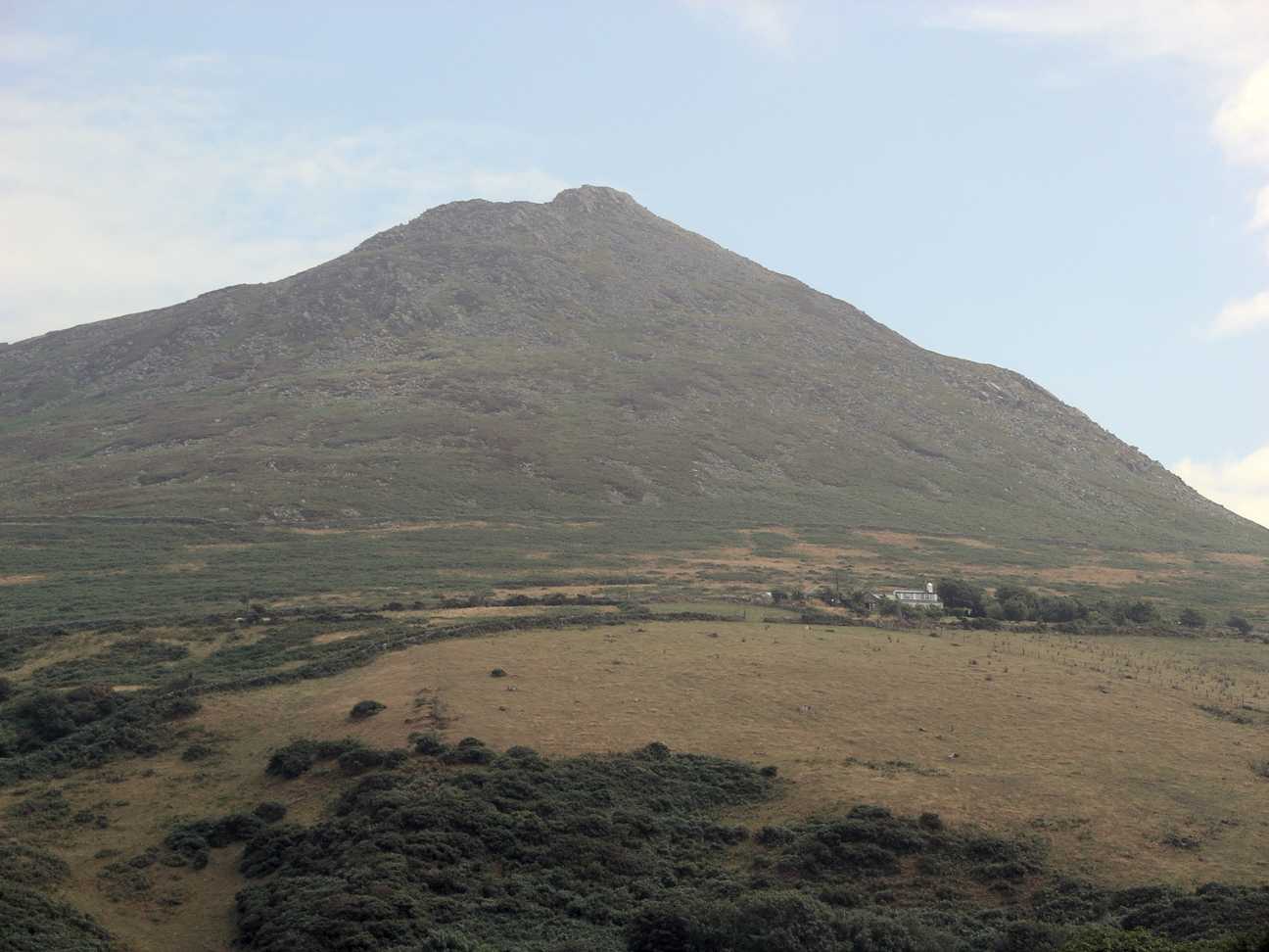
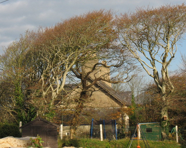
Carn Fadryn is a prominent hill located in Caernarfonshire, Wales. Rising to a height of 371 meters (1,217 feet), it stands proudly on the Llŷn Peninsula, just a few miles southeast of the town of Pwllheli. With its commanding position, Carn Fadryn offers breathtaking panoramic views of the surrounding countryside, including the Irish Sea to the west and the Snowdonia National Park to the east.
Geologically, the hill is formed of volcanic rock and is characterized by its distinct conical shape, making it a distinctive landmark in the region. It is believed that the hill was formed around 400 million years ago during the volcanic activity in the area.
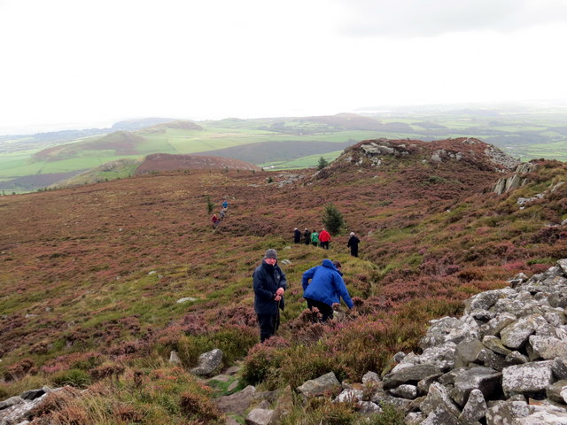
Carn Fadryn holds great cultural and historical significance for the local community. It is home to an Iron Age hillfort, which is one of the best-preserved examples in Wales. The fort is enclosed by a stone wall and covers an area of approximately 0.4 hectares (1 acre). It is thought to have been occupied between 200 BC and 100 AD.
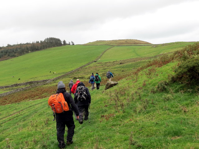
Today, Carn Fadryn attracts visitors who are fascinated by its natural beauty and rich history. It offers a range of walking trails, allowing hikers to explore the hill and soak in the stunning views. The fort itself is a popular attraction, providing a glimpse into the lives of the Iron Age inhabitants who once called this hilltop home.
Overall, Carn Fadryn is a captivating destination for nature enthusiasts, history buffs, and anyone seeking a memorable experience in the picturesque landscape of Caernarfonshire.
If you have any feedback on the listing, please let us know in the comments section below.
Carn Fadryn Images
Images are sourced within 2km of 52.884877/-4.5577475 or Grid Reference SH2835. Thanks to Geograph Open Source API. All images are credited.


![Llwybr Garnfadryn / Path to Garnfadryn Llwybr yn arwain i lawr y waered at bentre Carnfadryn a enwyd ar ol bryn gerllaw.
A path descending towards Carnfadryn village [trans. Madrun's cairn], named after a nearby hill.](https://s1.geograph.org.uk/geophotos/05/53/86/5538633_4b358d49.jpg)


Carn Fadryn is located at Grid Ref: SH2835 (Lat: 52.884877, Lng: -4.5577475)
Unitary Authority: Gwynedd
Police Authority: North Wales
What 3 Words
///chipper.dripping.reflected. Near Nefyn, Gwynedd
Nearby Locations
Related Wikis
Carn Fadryn
Carn Fadryn, sometimes Carn Fadrun or Garn Fadryn, is a five-hectare Iron Age hillfort and is the name of the mountain on which the fort is situated. It...
Llaniestyn, Gwynedd
Llaniestyn is a village and former civil parish in the Welsh county of Gwynedd. The parish was abolished in 1934, and divided between Tudweiliog and Botwnnog...

Llanfihangel Bachellaeth
Llanfihangel Bachellaeth is a former civil parish in the Welsh county of Gwynedd. It was abolished in 1934, and incorporated into Buan. == References ==

Cors Geirch National Nature Reserve
Cors Geirch National Nature Reserve is an extensive wetland site on the Llŷn Peninsula, in the central part of the valley that runs between Nefyn and Pwllheli...

Llandudwen
Llandudwen is a former civil parish in the Welsh county of Gwynedd. It was abolished in 1934, and divided between Buan and Tudweiliog. == References ==

Ceidio
Ceidio is a former civil parish in the Welsh county of Gwynedd. It was abolished in 1934, and incorporated into Buan. == References ==
Capel Newydd, Nanhoron
Capel Newydd in Nanhoron, near Llanengan, Gwynedd, is probably the oldest surviving Nonconformist chapel in North Wales. The chapel dates from 1770–1772...
Botwnnog
Botwnnog is a village and community in Gwynedd in Wales, located on the Llŷn Peninsula 6 km (4 mi) west-north-west of Abersoch. It is in the historic county...
Nearby Amenities
Located within 500m of 52.884877,-4.5577475Have you been to Carn Fadryn?
Leave your review of Carn Fadryn below (or comments, questions and feedback).