Coed Garn Fadryn
Wood, Forest in Caernarfonshire
Wales
Coed Garn Fadryn

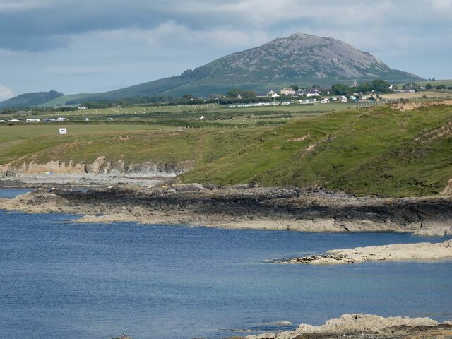
Coed Garn Fadryn is a dense woodland located in the county of Caernarfonshire, Wales. Spanning over a significant area, it is known for its beautiful forest scenery and diverse range of flora and fauna. The woodland is situated on the southern slope of Garn Fadryn, a prominent hill in the region.
The forest is predominantly composed of native tree species such as oaks, beeches, birches, and conifers, creating a rich and varied ecosystem. The thick canopy of the woodland provides a habitat for a multitude of wildlife, including various bird species, small mammals, and insects. The forest floor is adorned with a carpet of ferns, mosses, and wildflowers, adding to its natural charm.
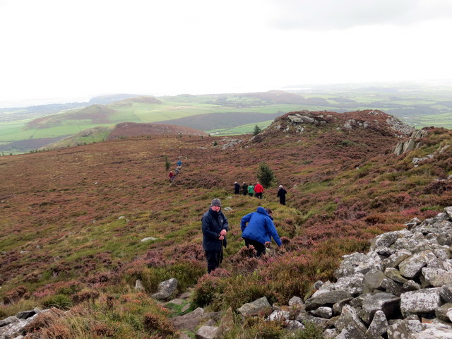
Coed Garn Fadryn offers visitors a variety of recreational activities. Numerous trails and paths wind through the woodland, allowing hikers and nature enthusiasts to explore the area and enjoy the tranquil surroundings. The forest is also a popular spot for birdwatching, as it attracts a wide range of avian species throughout the year.
The woodland is well-preserved and carefully managed by local authorities and conservation organizations to protect its natural beauty and biodiversity. Access to Coed Garn Fadryn is generally free and open to the public, with designated parking areas available nearby. The forest is a beloved destination for both locals and tourists seeking a peaceful retreat in the heart of nature.
If you have any feedback on the listing, please let us know in the comments section below.
Coed Garn Fadryn Images
Images are sourced within 2km of 52.891336/-4.5580536 or Grid Reference SH2835. Thanks to Geograph Open Source API. All images are credited.


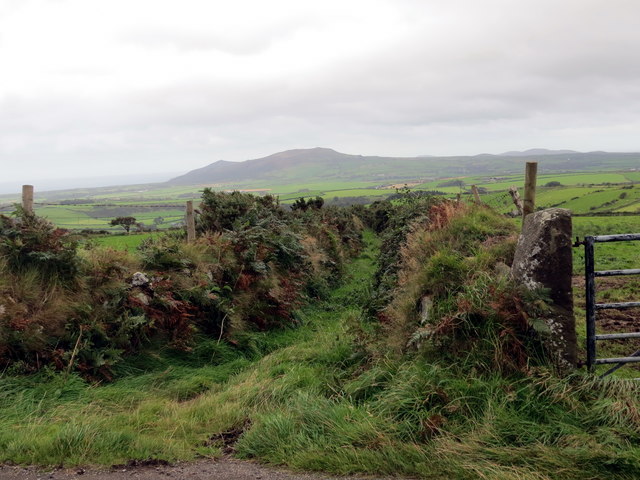
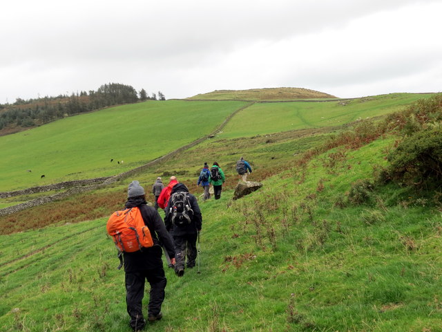
![Llwybr Garnfadryn / Path to Garnfadryn Llwybr yn arwain i lawr y waered at bentre Carnfadryn a enwyd ar ol bryn gerllaw.
A path descending towards Carnfadryn village [trans. Madrun&#039;s cairn], named after a nearby hill.](https://s1.geograph.org.uk/geophotos/05/53/86/5538633_4b358d49.jpg)


Coed Garn Fadryn is located at Grid Ref: SH2835 (Lat: 52.891336, Lng: -4.5580536)
Unitary Authority: Gwynedd
Police Authority: North Wales
What 3 Words
///degrading.cascade.cabbages. Near Nefyn, Gwynedd
Nearby Locations
Related Wikis
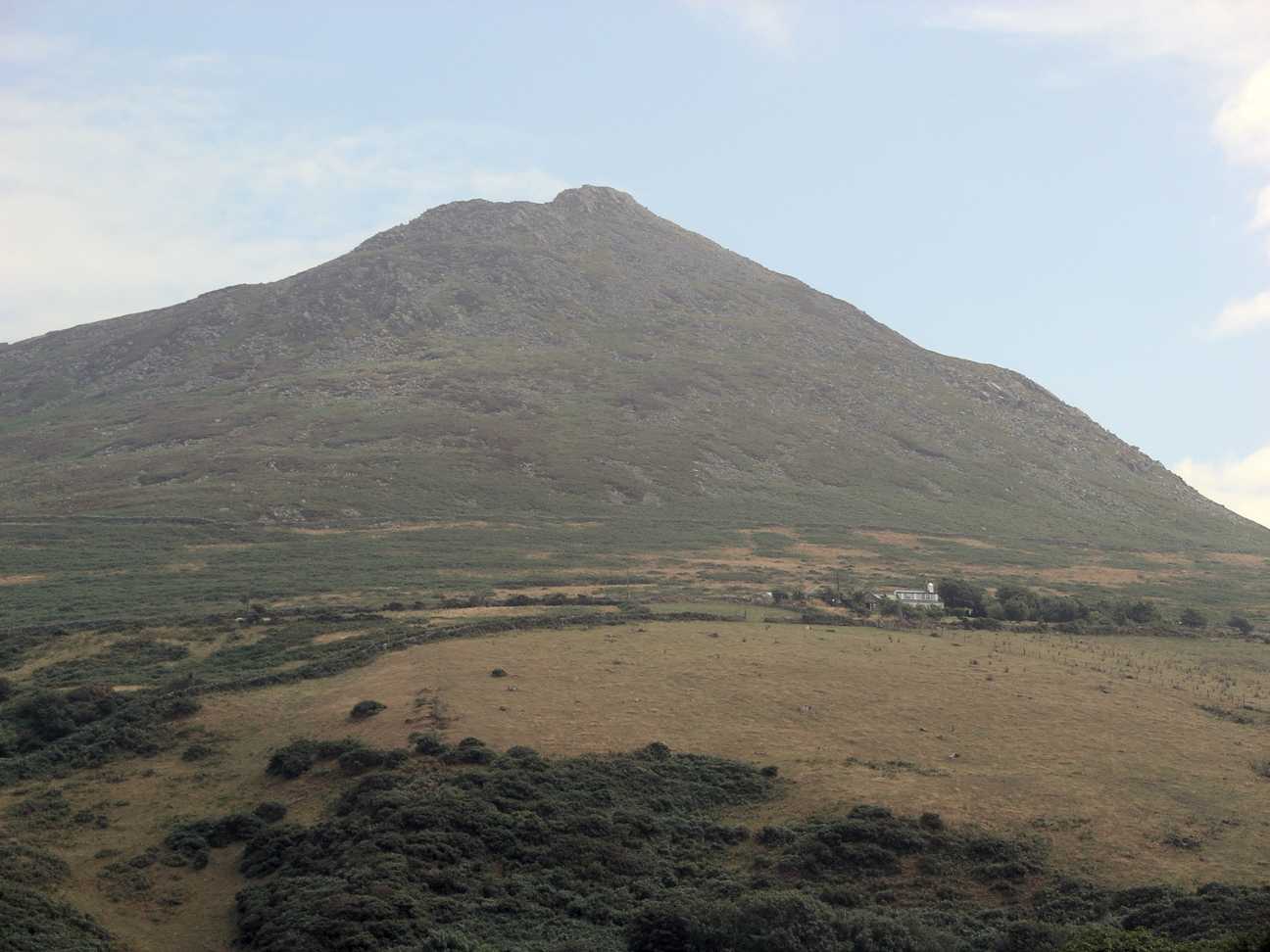
Carn Fadryn
Carn Fadryn, sometimes Carn Fadrun or Garn Fadryn, is a five-hectare Iron Age hillfort and is the name of the mountain on which the fort is situated. It...

Cors Geirch National Nature Reserve
Cors Geirch National Nature Reserve is an extensive wetland site on the Llŷn Peninsula, in the central part of the valley that runs between Nefyn and Pwllheli...
Llaniestyn, Gwynedd
Llaniestyn is a village and former civil parish in the Welsh county of Gwynedd. The parish was abolished in 1934, and divided between Tudweiliog and Botwnnog...

Llandudwen
Llandudwen is a former civil parish in the Welsh county of Gwynedd. It was abolished in 1934, and divided between Buan and Tudweiliog. == References ==

Ceidio
Ceidio is a former civil parish in the Welsh county of Gwynedd. It was abolished in 1934, and incorporated into Buan. == References ==

Llanfihangel Bachellaeth
Llanfihangel Bachellaeth is a former civil parish in the Welsh county of Gwynedd. It was abolished in 1934, and incorporated into Buan. == References ==

Edern, Gwynedd
Edern, formerly known as Edeyrn, is a village and until 1939 a civil parish, in the Welsh county of Gwynedd. It is about 1 km southwest of the larger village...

Tudweiliog
Tudweiliog is a small, predominantly Welsh-speaking village, community and electoral ward on the northern coast of the Llŷn Peninsula in the Welsh county...
Nearby Amenities
Located within 500m of 52.891336,-4.5580536Have you been to Coed Garn Fadryn?
Leave your review of Coed Garn Fadryn below (or comments, questions and feedback).