Kirklebride Wood
Wood, Forest in Kirkcudbrightshire
Scotland
Kirklebride Wood
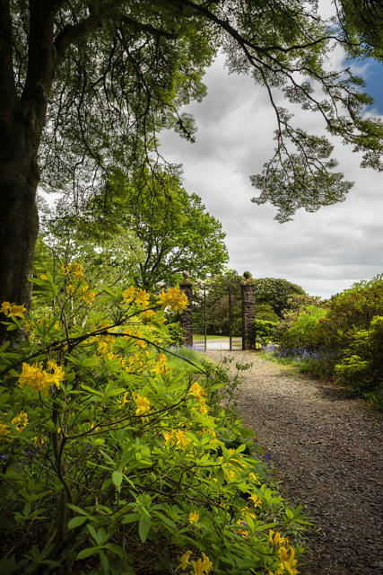
Kirklebride Wood is a charming woodland located in the county of Kirkcudbrightshire, Scotland. Covering an area of approximately 500 acres, this forest is a haven for nature enthusiasts and outdoor lovers alike. It is situated near the town of Kirkcudbright, and easily accessible for visitors.
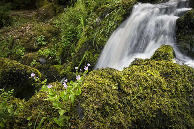
The wood boasts a diverse range of flora and fauna, making it an ideal destination for wildlife spotting and birdwatching. The ancient oak trees that grace its landscape provide shelter and food for a variety of bird species, including woodpeckers, owls, and warblers. Deer, badgers, and squirrels are also frequently seen in the wood, adding to its natural beauty.
Visitors to Kirklebride Wood can enjoy a network of well-maintained trails that meander through the forest, offering opportunities for leisurely walks, hikes, and bike rides. These paths are suitable for all ages and abilities, making it a family-friendly destination. Along the way, benches and picnic areas are strategically placed, allowing visitors to rest and take in the tranquil surroundings.
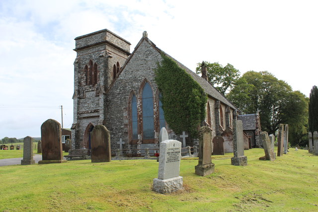
For those interested in the history of the area, Kirklebride Wood has a fascinating past. It was once part of the estate of Kirklebride House, a grand mansion that stood nearby. Although the house itself no longer exists, remnants of its former glory can still be found within the wood, adding an air of mystery and intrigue.
Overall, Kirklebride Wood is a picturesque and enchanting forest that offers a serene escape from the hustle and bustle of daily life. Whether it's for a peaceful walk, wildlife spotting, or simply enjoying the beauty of nature, this woodland is a must-visit destination in Kirkcudbrightshire.
If you have any feedback on the listing, please let us know in the comments section below.
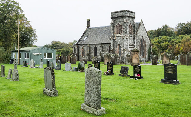
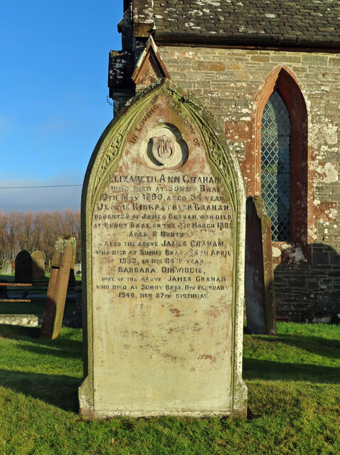
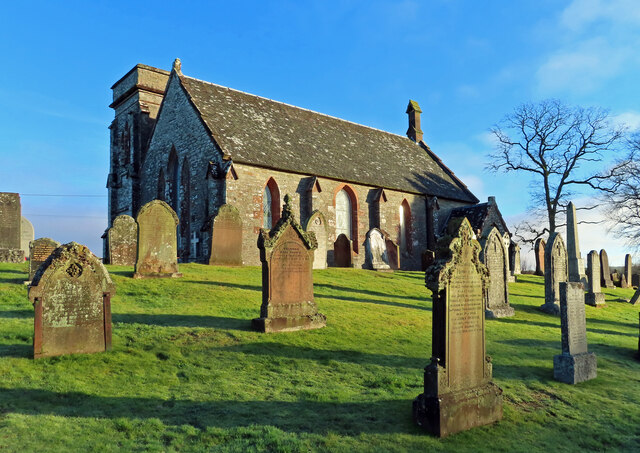
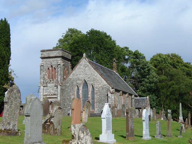
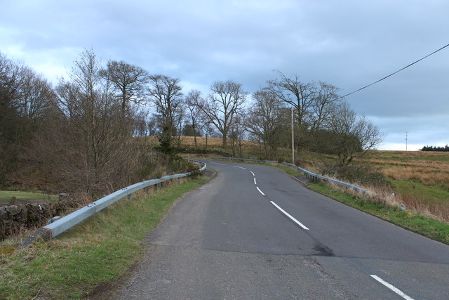
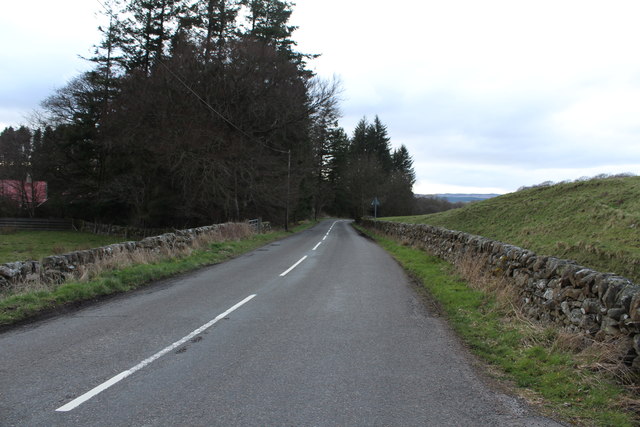
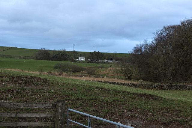
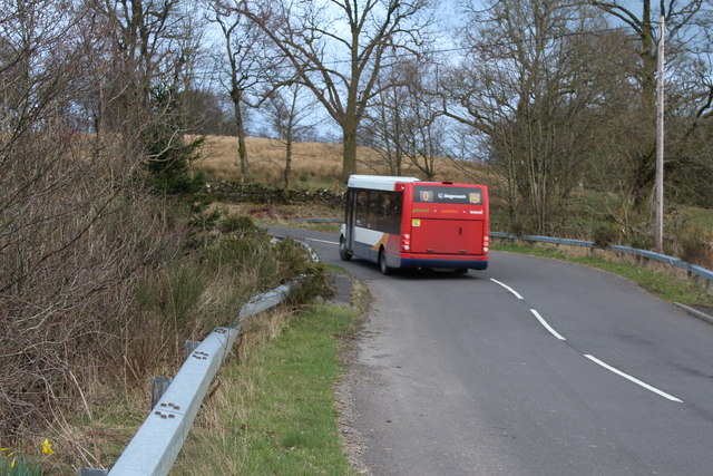
Kirklebride Wood Images
Images are sourced within 2km of 55.053799/-3.9304134 or Grid Reference NX7674. Thanks to Geograph Open Source API. All images are credited.

Kirklebride Wood is located at Grid Ref: NX7674 (Lat: 55.053799, Lng: -3.9304134)
Unitary Authority: Dumfries and Galloway
Police Authority: Dumfries and Galloway
What 3 Words
///shrubbery.driving.star. Near Castle Douglas, Dumfries & Galloway
Nearby Locations
Related Wikis

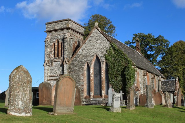
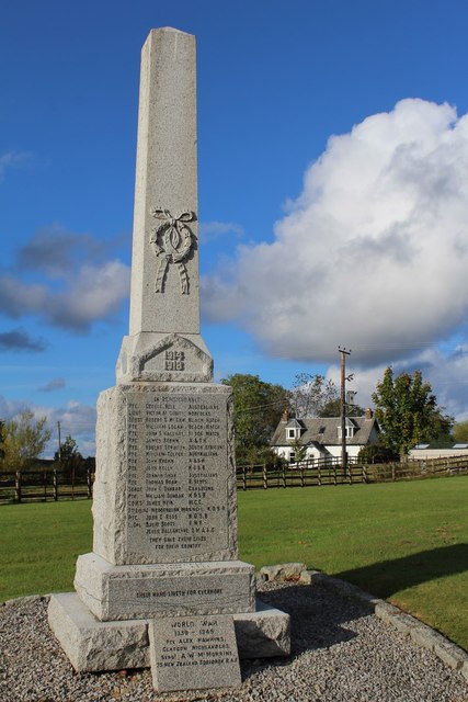
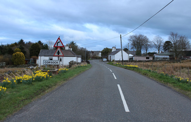
Corsock
Corsock (Scottish Gaelic: Corsag) is a village in the historical county of Kirkcudbrightshire, Dumfries and Galloway, south-west Scotland. It is located...

Glenlair House
Glenlair, near the village of Corsock in the historical county of Kirkcudbrightshire, in Dumfries and Galloway, was the home of the physicist James Clerk...

Kilquhanity School
Kilquhanity School was one of several free schools to have been established in the United Kingdom in the twentieth century. Others include Sands School...

Kirkpatrick Durham
Kirkpatrick Durham (Scottish Gaelic: Cill Phàdraig) is a village and parish in the historical county of Kirkcudbrightshire, Dumfries and Galloway, south...

Dumfries and Galloway
Dumfries and Galloway (Scots: Dumfries an Gallowa; Scottish Gaelic: Dùn Phrìs is Gall-Ghaidhealaibh) is one of the 32 unitary council areas of Scotland...

Springholm
Springholm is a village in the historical county of Kirkcudbrightshire in Dumfries and Galloway, Scotland. It is located 14 miles (23 km) west of Dumfries...

Crocketford
Crocketford (/ˈkrɒkɪtfɔːd/, also frequently /ˈkrɒkɪtfəd/) also known as Ninemile Bar (Scottish Gaelic: Ath Crogaid), as it is approximately equidistant...

Craigenputtock
Craigenputtock (usually spelled by the Carlyles as Craigenputtoch) is an estate in Scotland where Thomas Carlyle lived from 1828 to 1834. He wrote several...
Nearby Amenities
Located within 500m of 55.053799,-3.9304134Have you been to Kirklebride Wood?
Leave your review of Kirklebride Wood below (or comments, questions and feedback).