Abdication Wood
Wood, Forest in Dumfriesshire
Scotland
Abdication Wood
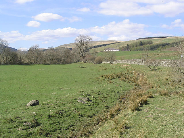
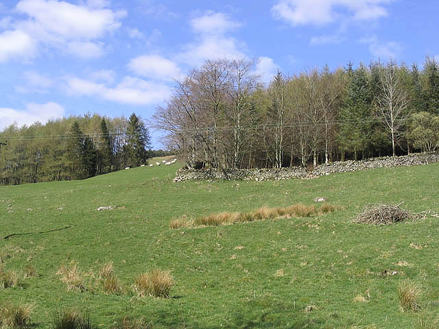
Abdication Wood is a captivating forest located in Dumfriesshire, a historic county in the southwest of Scotland. Spanning over a sprawling area, this enchanting woodland offers a serene and tranquil escape from the bustling city life.
The forest is known for its rich biodiversity and stunning natural beauty. It boasts a diverse range of tree species, including oak, beech, and birch, which form a dense canopy that provides shade and shelter for various flora and fauna. The forest floor is adorned with a carpet of vibrant wildflowers, creating a picturesque sight during the blooming season.
For nature enthusiasts, Abdication Wood offers a plethora of opportunities for exploration and wildlife observation. The forest is home to several species of birds, including woodpeckers, owls, and songbirds, making it a paradise for birdwatchers. Additionally, the presence of deer, squirrels, and other small mammals adds to the charm and allure of this woodland.
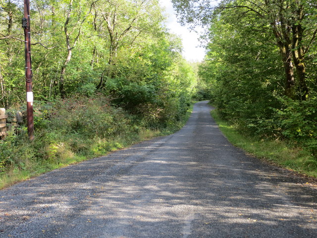
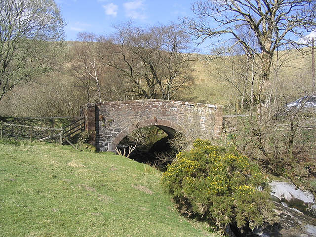
Visitors can enjoy leisurely walks and hikes along the well-maintained trails that wind through the forest, allowing them to take in the breathtaking scenery and immerse themselves in nature's wonders. The peaceful atmosphere and fresh air make it an ideal location for a picnic or a leisurely afternoon stroll.
Abdication Wood is easily accessible, with ample parking facilities and well-marked paths. Whether you are a nature lover, a photographer, or simply seeking solace in nature, this remarkable woodland offers a perfect retreat to connect with the natural world and rejuvenate the senses.
If you have any feedback on the listing, please let us know in the comments section below.
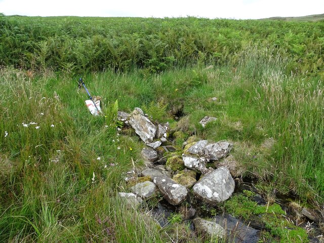
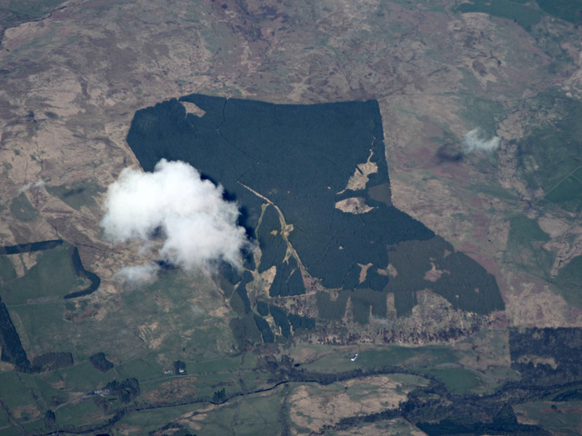
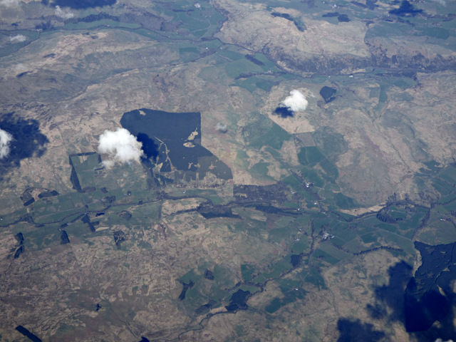
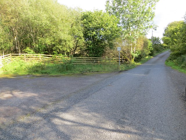
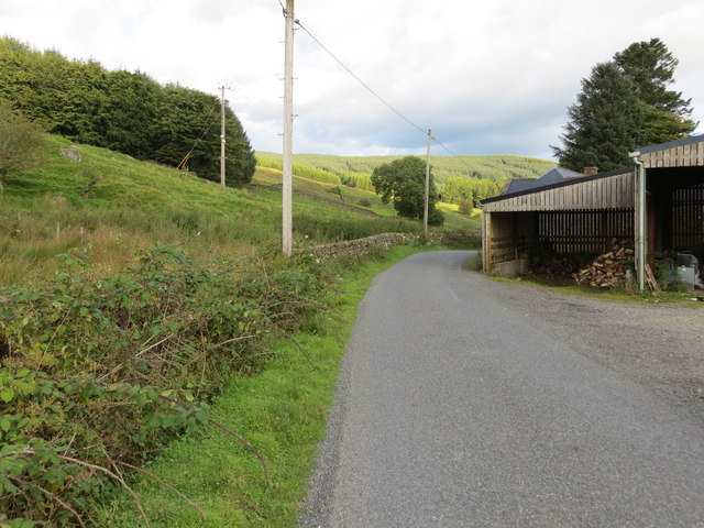
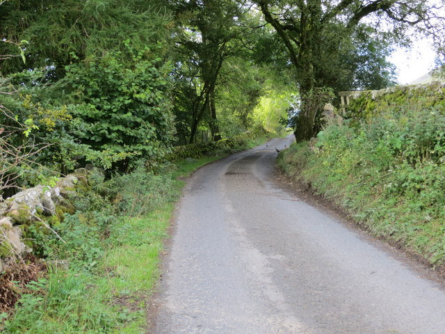
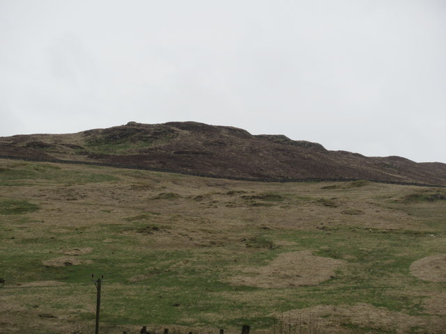
Abdication Wood Images
Images are sourced within 2km of 55.24511/-3.9485807 or Grid Reference NX7696. Thanks to Geograph Open Source API. All images are credited.


Abdication Wood is located at Grid Ref: NX7696 (Lat: 55.24511, Lng: -3.9485807)
Unitary Authority: Dumfries and Galloway
Police Authority: Dumfries and Galloway
What 3 Words
///salary.secrets.care. Near Thornhill, Dumfries & Galloway
Nearby Locations
Related Wikis

Carsphairn and Scaur Hills
The Carsphairn and Scaur Hills are the western and eastern hills respectively of a hill range in the Southern Uplands of Scotland. Ordnance Survey maps...

Tynron
Tynron is a village and civil parish in Dumfries and Galloway, south-west Scotland, lying in a hollow of the Shinnel Water, 2 miles (3.2 km) from Moniaive...

Moniaive
Moniaive ( 'monny-IVE'; Scottish Gaelic: Am Moine Naomh, "The Holy Moor") is a village in the Parish of Glencairn, in Dumfries and Galloway, southwest...

Moniaive railway station
Moniaive railway station is the closed station terminus of the Cairn Valley Light Railway (CVR) branch, from Dumfries. It served the rural area of Moniaive...

Craigdarroch
"Craigdarroch, An Accessory to Murder" is an expansion set for the board game Kill Doctor Lucky Craigdarroch is a house near Moniaive, Dumfries and Galloway...

Tynron Doon
Tynron Doon is a multivallate Iron Age hill fort outside the village of Tynron in Dumfries and Galloway, Scotland. It was occupied on and off from the...
Grennan Hill
Grennan Hill is the site of an Iron Age hill fort outside Penpont in Dumfries and Galloway, Scotland. == References == Schedule "Grennan Hill, NMRS Number...

Crawfordton House
Crawfordton House is a category B listed 19th-century country house, situated close to Moniaive in Dumfriesshire, Scotland. It was operated as Crawfordton...
Nearby Amenities
Located within 500m of 55.24511,-3.9485807Have you been to Abdication Wood?
Leave your review of Abdication Wood below (or comments, questions and feedback).