Carlton Scroop
Settlement in Lincolnshire South Kesteven
England
Carlton Scroop

Carlton Scroop is a small village located in the county of Lincolnshire, England. Situated approximately 9 miles south of Grantham, the village is nestled in a picturesque rural setting, surrounded by fields and farmland.
With a population of around 200 residents, Carlton Scroop is known for its tranquil and peaceful atmosphere. The village features a collection of charming cottages, many of which date back to the 18th and 19th centuries, adding to its historical character.
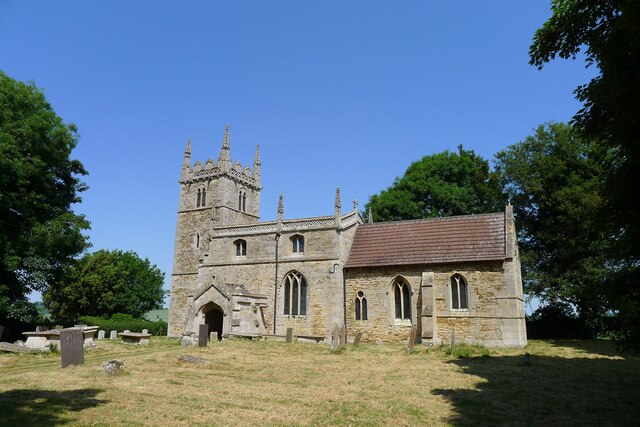
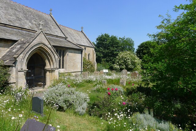
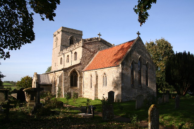
One of the notable landmarks in Carlton Scroop is the St. Nicholas Church, a Grade II listed building that stands as a testament to the village's rich history. The church, with its beautiful stained glass windows and intricate architecture, is a focal point for both locals and visitors alike.
The village also boasts a small primary school, providing education to the local children. Additionally, Carlton Scroop is home to a local pub, offering a warm and friendly atmosphere for residents and visitors to enjoy.
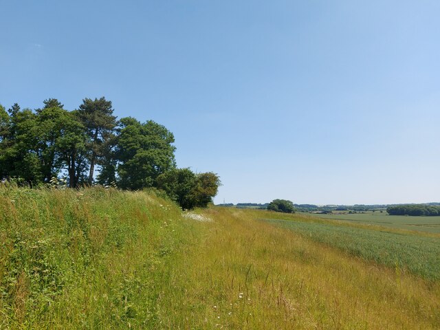
Surrounded by the rolling countryside, Carlton Scroop offers ample opportunities for outdoor activities such as walking, cycling, and horse riding. The village is also well-positioned for exploring the wider Lincolnshire area, with nearby attractions including Belton House and Woolsthorpe Manor.
Overall, Carlton Scroop is a charming and peaceful village, perfect for those seeking a quiet and idyllic rural retreat.
If you have any feedback on the listing, please let us know in the comments section below.
Carlton Scroop Images
Images are sourced within 2km of 52.995373/-0.584275 or Grid Reference SK9545. Thanks to Geograph Open Source API. All images are credited.


Carlton Scroop is located at Grid Ref: SK9545 (Lat: 52.995373, Lng: -0.584275)
Division: Parts of Kesteven
Administrative County: Lincolnshire
District: South Kesteven
Police Authority: Lincolnshire
What 3 Words
///limo.devalued.walking. Near Caythorpe, Lincolnshire
Nearby Locations
Related Wikis
Carlton Scroop
Carlton Scroop is a small village and civil parish in the South Kesteven district of Lincolnshire, England. The population of the civil parish (including...
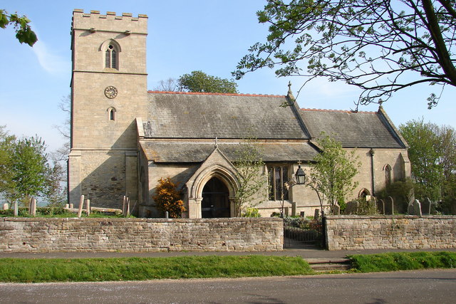
St Nicholas Church, Normanton
St Nicholas Church is a redundant Anglican church in Normanton-on-Cliffe, Lincolnshire, England. It is recorded in the National Heritage List for England...

Normanton-on-Cliffe
Normanton-on-Cliffe, sometimes known as Normanton, is a village and civil parish in the South Kesteven district of Lincolnshire, England. It lies on the...

Honington railway station
Honington railway station was a station in the village of Honington, Lincolnshire. It was located on junction with the line Grantham and Lincoln railway...
Nearby Amenities
Located within 500m of 52.995373,-0.584275Have you been to Carlton Scroop?
Leave your review of Carlton Scroop below (or comments, questions and feedback).