Carlton Scroop Heath
Downs, Moorland in Lincolnshire South Kesteven
England
Carlton Scroop Heath

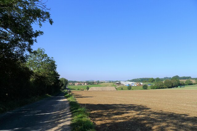
Carlton Scroop Heath is a picturesque area located in the county of Lincolnshire, England. It is situated between the villages of Carlton Scroop and Hougham, encompassing a vast expanse of downs and moorland. The heath is renowned for its stunning natural beauty and diverse wildlife.
Covering an area of approximately 500 hectares, Carlton Scroop Heath offers visitors a unique opportunity to immerse themselves in the tranquil surroundings of the Lincolnshire countryside. The landscape is characterized by rolling hills, expansive meadows, and heather-covered moorlands, providing a stunning backdrop for outdoor activities such as hiking and wildlife observation.
The heath is home to a wide variety of plant and animal species, including several rare and protected species. Visitors can expect to encounter grazing sheep, rabbits, and a plethora of bird species, including skylarks and kestrels. The flora on the heath is equally diverse, with vibrant heather, wildflowers, and patches of gorse adding bursts of color to the landscape.
In addition to its natural beauty, Carlton Scroop Heath also boasts a rich historical heritage. Remnants of ancient settlements, including burial mounds and Roman pottery, have been discovered in the area, providing fascinating insights into the region's past.
Overall, Carlton Scroop Heath offers a tranquil escape for nature enthusiasts and history buffs alike. With its breathtaking landscapes, diverse wildlife, and historical significance, it is a must-visit destination for those seeking to explore the charm of Lincolnshire's countryside.
If you have any feedback on the listing, please let us know in the comments section below.
Carlton Scroop Heath Images
Images are sourced within 2km of 52.994848/-0.5738977 or Grid Reference SK9545. Thanks to Geograph Open Source API. All images are credited.


Carlton Scroop Heath is located at Grid Ref: SK9545 (Lat: 52.994848, Lng: -0.5738977)
Administrative County: Lincolnshire
District: South Kesteven
Police Authority: Lincolnshire
What 3 Words
///truffles.converter.scooter. Near Ancaster, Lincolnshire
Nearby Locations
Related Wikis
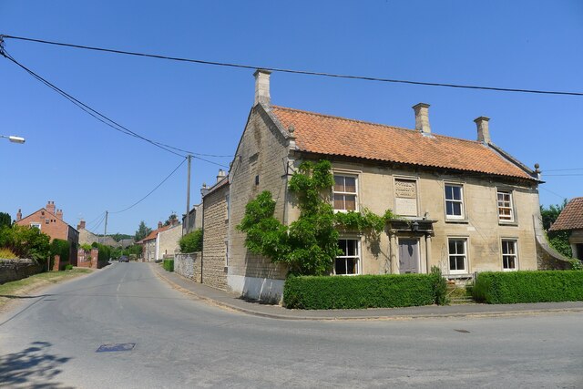
Carlton Scroop
Carlton Scroop is a small village and civil parish in the South Kesteven district of Lincolnshire, England. The population of the civil parish (including...

Sudbrook, Lincolnshire
Sudbrook is a hamlet in the South Kesteven district of Lincolnshire, England. It is situated 12 miles (19 km) south-east of Newark-on-Trent, 6 miles (10...

Normanton-on-Cliffe
Normanton-on-Cliffe, sometimes known as Normanton, is a village and civil parish in the South Kesteven district of Lincolnshire, England. It lies on the...
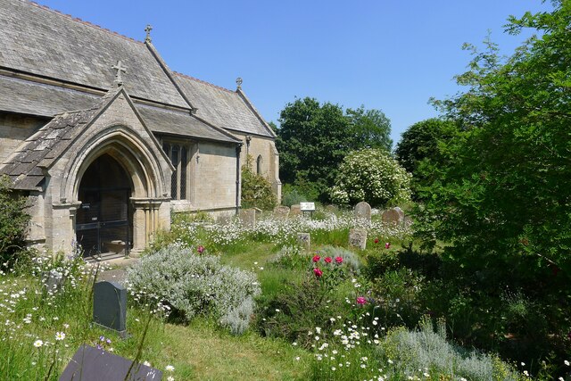
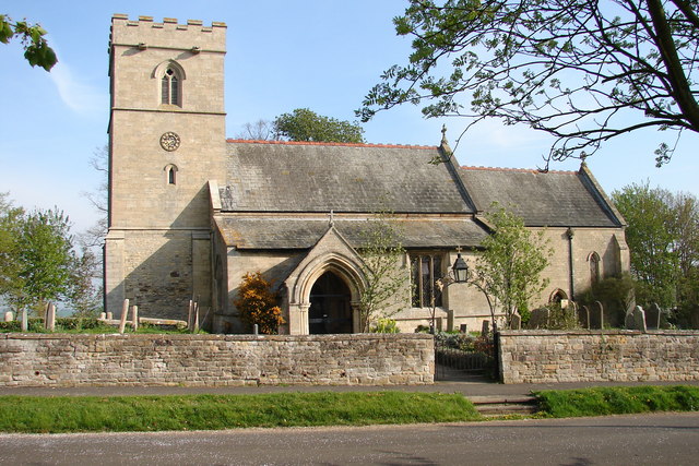
St Nicholas Church, Normanton
St Nicholas Church is a redundant Anglican church in Normanton-on-Cliffe, Lincolnshire, England. It is recorded in the National Heritage List for England...

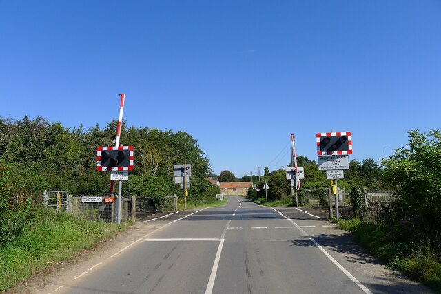
Honington railway station
Honington railway station was a station in the village of Honington, Lincolnshire. It was located on junction with the line Grantham and Lincoln railway...

Honington, Lincolnshire
Honington is an English village and civil parish in the South Kesteven district of Lincolnshire. It lies just north of the junction between the A153 and...
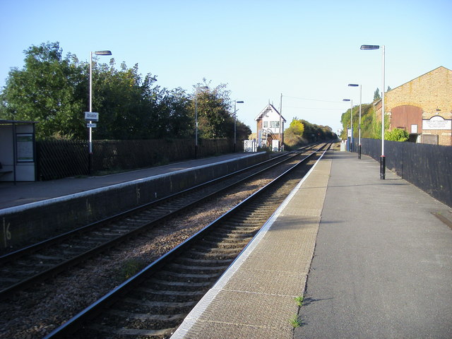
Ancaster railway station
Ancaster railway station serves the village of Ancaster in Lincolnshire, England. The station is 11.5 miles (19 km) north of Grantham on the Nottingham...

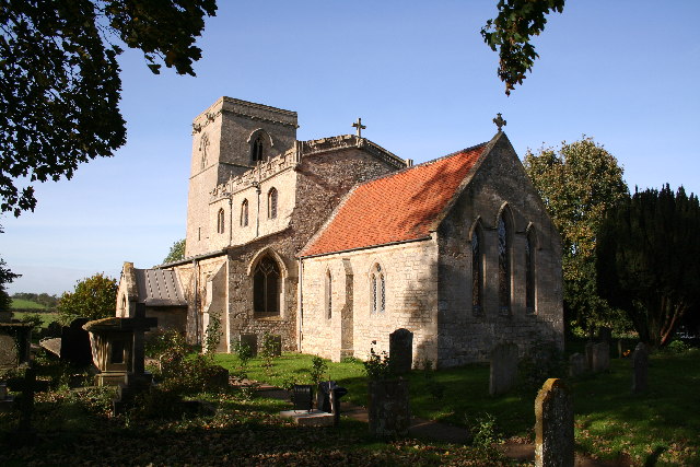
St Martin's Church, Ancaster
St Martin's Church is a Grade I listed Anglican church, dedicated to Martin of Tours, in Ancaster, Lincolnshire, England. The church is 6 miles (10 km...
Nearby Amenities
Located within 500m of 52.994848,-0.5738977Have you been to Carlton Scroop Heath?
Leave your review of Carlton Scroop Heath below (or comments, questions and feedback).