Dam Wood
Wood, Forest in Stirlingshire
Scotland
Dam Wood
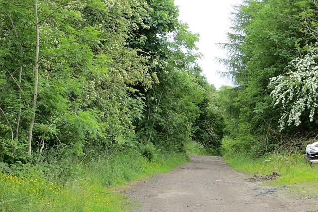
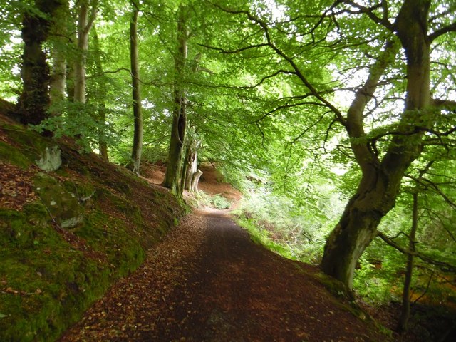
Dam Wood is a picturesque forest located in the county of Stirlingshire, Scotland. Covering an expansive area of lush greenery, the wood is situated just a few miles away from the bustling town of Stirling. The wood is nestled in a serene and tranquil setting, making it a popular destination for nature lovers and outdoor enthusiasts.
The forest is home to a diverse range of flora and fauna, with towering trees and dense undergrowth creating a habitat for various species of plants and animals. The wood is primarily composed of oak, ash, and birch trees, which provide a dense canopy and create a cool and shaded atmosphere within the forest.
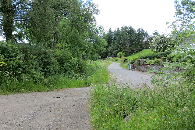
For visitors, Dam Wood offers a multitude of recreational activities. Its well-maintained trails provide opportunities for hiking and walking, allowing visitors to explore the natural beauty of the wood at their own pace. The forest also houses a number of picnic spots, where families and friends can gather to enjoy a peaceful meal surrounded by nature.
Dam Wood is not only a haven for nature enthusiasts but also a significant historical site. The wood is home to several archaeological remains, including ancient burial mounds and remnants of Iron Age settlements. These historical artifacts provide a glimpse into the rich cultural heritage of the area.
Overall, Dam Wood in Stirlingshire is a captivating destination that offers a perfect blend of natural beauty and historical significance. Whether it's a leisurely stroll through the forest or a deep dive into its historical past, Dam Wood is a must-visit location for anyone seeking a rejuvenating and educational experience in the heart of Scotland.
If you have any feedback on the listing, please let us know in the comments section below.
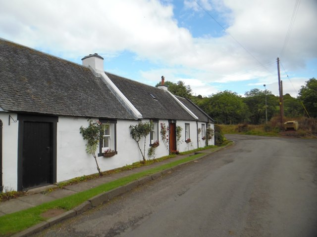
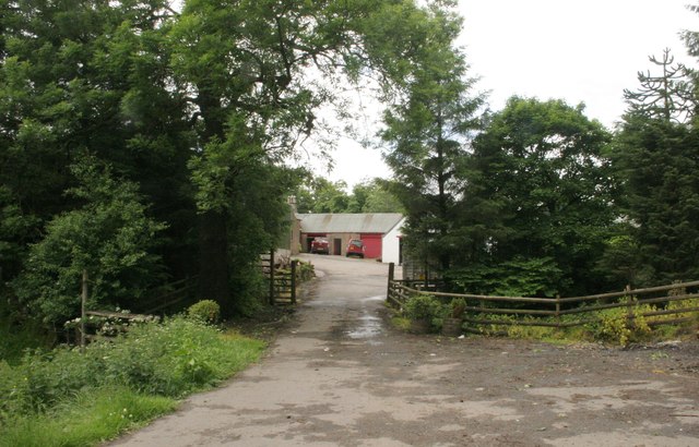
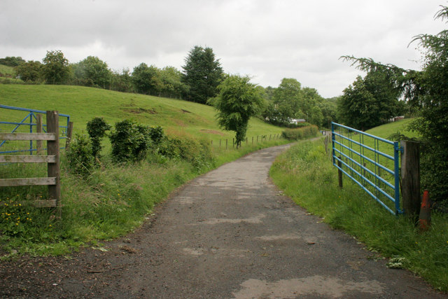
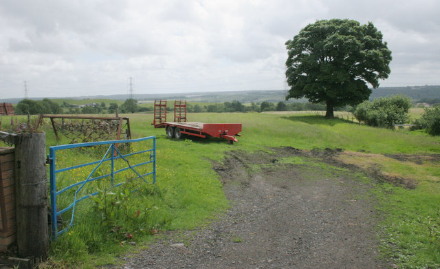
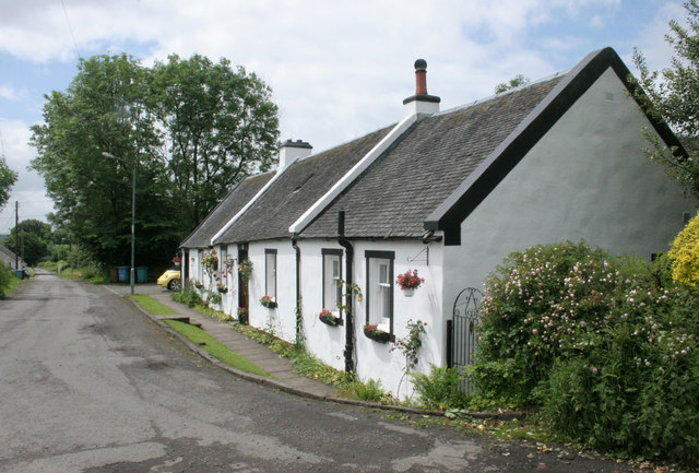
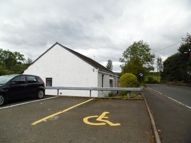
Dam Wood Images
Images are sourced within 2km of 55.984228/-4.0261268 or Grid Reference NS7378. Thanks to Geograph Open Source API. All images are credited.


Dam Wood is located at Grid Ref: NS7378 (Lat: 55.984228, Lng: -4.0261268)
Unitary Authority: North Lanarkshire
Police Authority: Lanarkshire
What 3 Words
///collision.lyricism.hammocks. Near Kilsyth, North Lanarkshire
Nearby Locations
Related Wikis

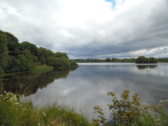
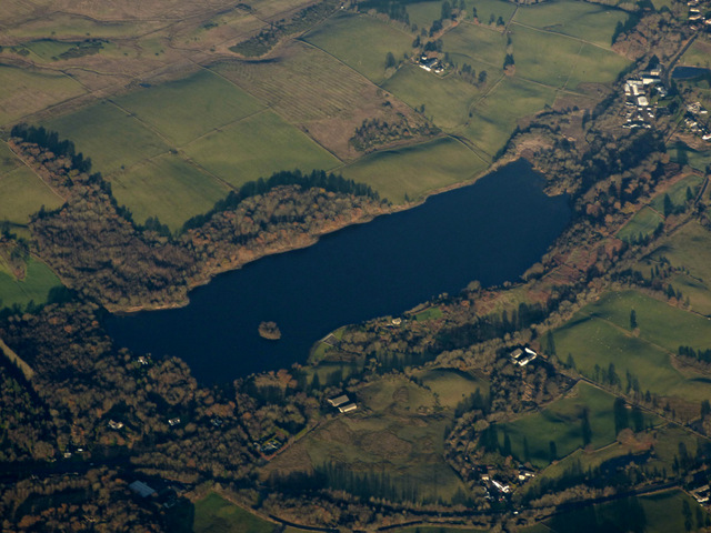
Banton Loch
Banton Loch, also known as Kilsyth Loch, Townhead Reservoir and once nicknamed Bakers' Loch, is an artificial freshwater lake located to the east of Kilsyth...

Battle of Kilsyth
The Battle of Kilsyth, fought on 15 August 1645 near Kilsyth, was an engagement of the Wars of the Three Kingdoms. The largest battle of the conflict in...

Colzium railway station
Colzium railway station served the area of Colzium, North Lanarkshire, Scotland from 1888 to 1917 on the Kilsyth and Bonnybridge Railway. == History... ==

Colzium
Colzium House and Estate (pronounced Coal-Zee-Um) is about 500 metres to the north-east of Kilsyth, North Lanarkshire, Scotland. The present house dates...
Nearby Amenities
Located within 500m of 55.984228,-4.0261268Have you been to Dam Wood?
Leave your review of Dam Wood below (or comments, questions and feedback).