Craigstone Wood
Wood, Forest in Stirlingshire
Scotland
Craigstone Wood

Craigstone Wood is a picturesque forest located in Stirlingshire, Scotland. Covering an area of approximately 160 hectares, it is a popular destination for nature enthusiasts and outdoor lovers alike. The wood is situated near the village of Plean, just a short distance from Stirling.
The woodland is primarily composed of mixed broadleaf trees, including oak, birch, and beech, creating a diverse and vibrant ecosystem. These trees provide a stunning backdrop throughout the year, with colorful foliage in autumn and a lush green canopy during the summer months. The forest floor is carpeted with a variety of wildflowers, ferns, and mosses, enhancing the area's natural charm.
Craigstone Wood offers a range of walking trails, allowing visitors to explore its beauty at their own pace. The paths wind through the forest, providing opportunities to spot wildlife such as red squirrels, badgers, and a variety of bird species. The wood is also home to several small streams and ponds, adding to its serene atmosphere.
In addition to its natural wonders, Craigstone Wood boasts historical significance. The remains of a Bronze Age fort can be found within its boundaries, providing a glimpse into the area's ancient past. This archaeological site adds an extra layer of fascination to the wood, attracting those interested in history and heritage.
Overall, Craigstone Wood is a captivating woodland that offers a tranquil escape from the hustle and bustle of everyday life. Whether you are seeking a peaceful walk, wildlife spotting, or a glimpse into the past, this enchanting forest has something for everyone to enjoy.
If you have any feedback on the listing, please let us know in the comments section below.
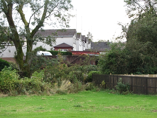
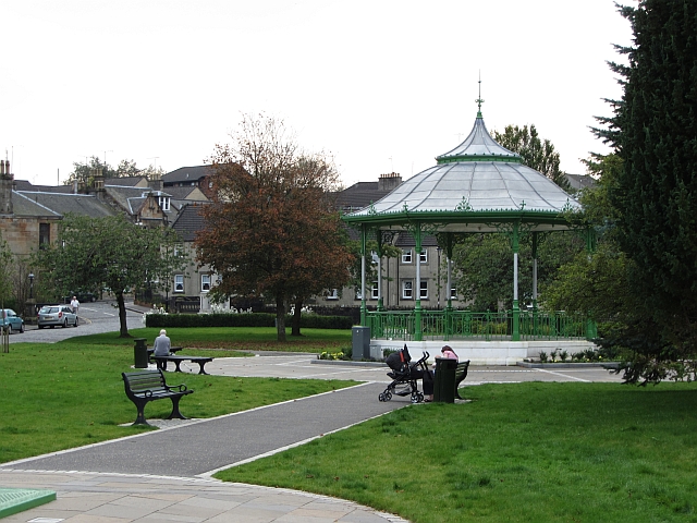
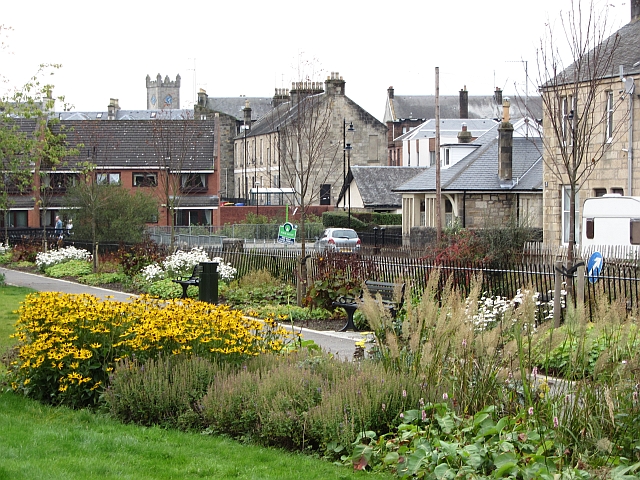
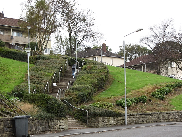
Craigstone Wood Images
Images are sourced within 2km of 55.98106/-4.0351299 or Grid Reference NS7378. Thanks to Geograph Open Source API. All images are credited.


Craigstone Wood is located at Grid Ref: NS7378 (Lat: 55.98106, Lng: -4.0351299)
Unitary Authority: North Lanarkshire
Police Authority: Lanarkshire
What 3 Words
///hails.grove.rescuer. Near Kilsyth, North Lanarkshire
Nearby Locations
Related Wikis

Colzium
Colzium House and Estate (pronounced Coal-Zee-Um) is about 500 metres to the north-east of Kilsyth, North Lanarkshire, Scotland. The present house dates...

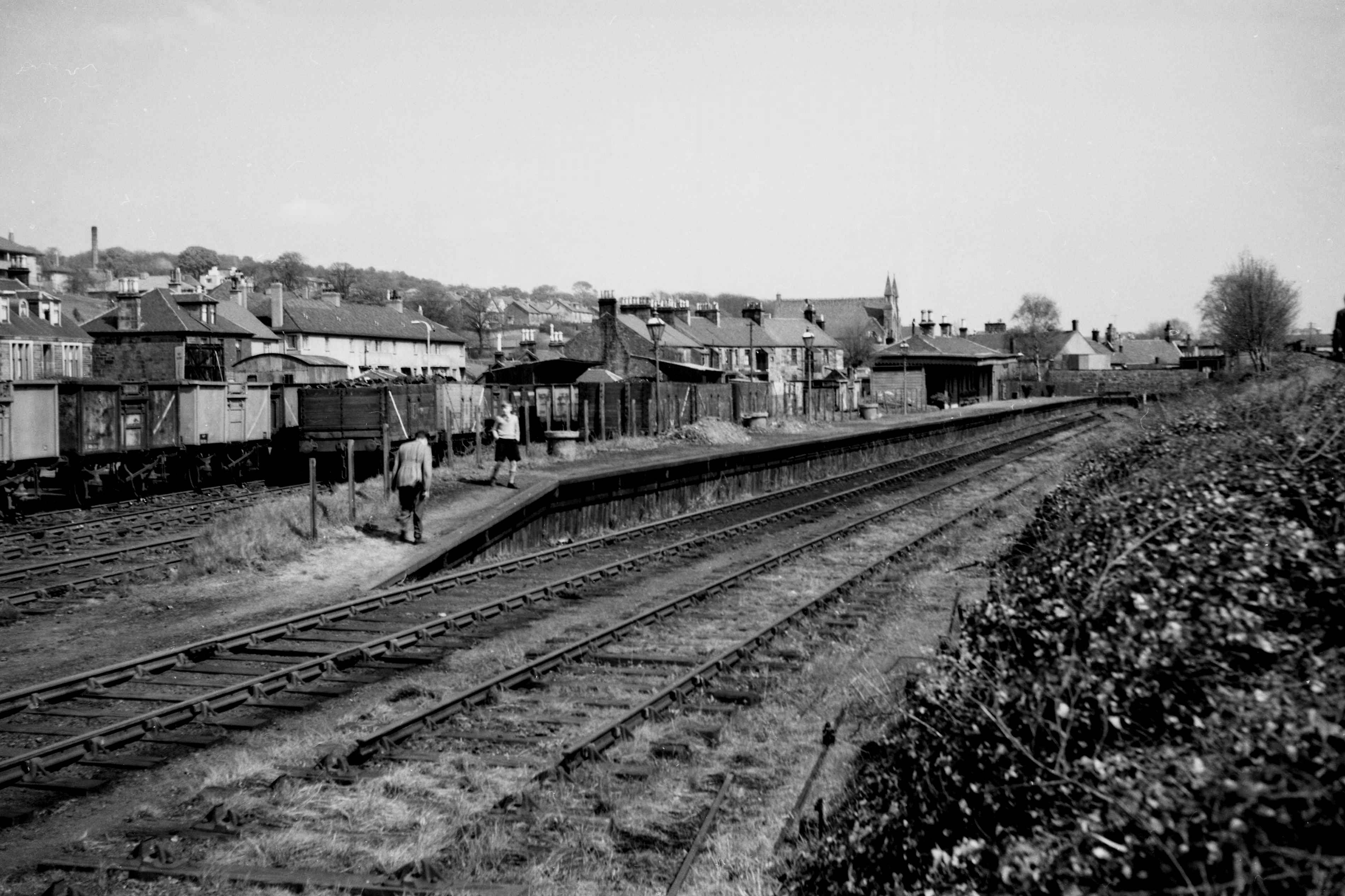
Colzium railway station
Colzium railway station served the area of Colzium, North Lanarkshire, Scotland from 1888 to 1917 on the Kilsyth and Bonnybridge Railway. == History... ==

Banton Loch
Banton Loch, also known as Kilsyth Loch, Townhead Reservoir and once nicknamed Bakers' Loch, is an artificial freshwater lake located to the east of Kilsyth...

Battle of Kilsyth
The Battle of Kilsyth, fought on 15 August 1645 near Kilsyth, was an engagement of the Wars of the Three Kingdoms. The largest battle of the conflict in...
Kilsyth New railway station
Kilsyth New station served the town of Kilsyth in Scotland. The station was on the Kilsyth and Bonnybridge Railway. == History == The station opened on...

Kilsyth
Kilsyth (; Scottish Gaelic Cill Saidhe) is a town and civil parish in North Lanarkshire, roughly halfway between Glasgow and Stirling in Scotland. The...
Kilsyth railway station
Kilsyth Old station served the town of Kilsyth in Scotland. It was the original terminus of the Kelvin Valley Railway. == History == The station opened...

Croy Hill
Croy Hill was a Roman fort, fortlet, and probable temporary camp on the Antonine Wall, near Croy, to the north east of the village in Scotland. Two communication...
Nearby Amenities
Located within 500m of 55.98106,-4.0351299Have you been to Craigstone Wood?
Leave your review of Craigstone Wood below (or comments, questions and feedback).