Birkhill Woods
Wood, Forest in Kirkcudbrightshire
Scotland
Birkhill Woods
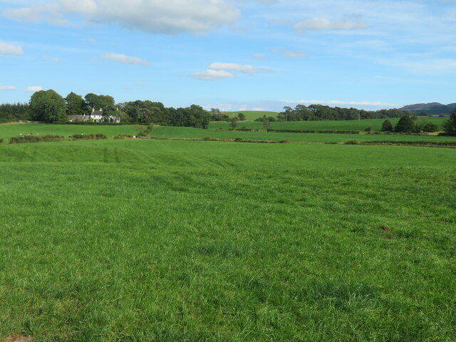
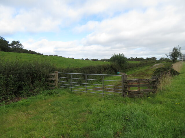
Birkhill Woods is a picturesque forest located in Kirkcudbrightshire, Scotland. Covering an area of approximately 300 hectares, the woods are known for their diverse range of flora and fauna, making it a popular destination for nature enthusiasts and hikers.
The woodland consists mainly of native broadleaf species such as oak, beech, and birch, creating a rich and vibrant ecosystem. Visitors can expect to see a variety of wildlife, including deer, squirrels, and a wide array of bird species.
There are several well-maintained trails that wind through the woods, offering visitors the opportunity to explore the natural beauty of the area. The peaceful atmosphere and tranquil surroundings make Birkhill Woods an ideal spot for a leisurely walk or a relaxing picnic.
In addition to its natural beauty, Birkhill Woods also has historical significance, with remnants of ancient settlements and structures scattered throughout the area. Archaeologists have discovered evidence of human habitation dating back thousands of years, adding an extra layer of intrigue to this already captivating location.
Overall, Birkhill Woods is a stunning natural oasis that offers visitors a chance to connect with nature and immerse themselves in the beauty of the Scottish countryside.
If you have any feedback on the listing, please let us know in the comments section below.
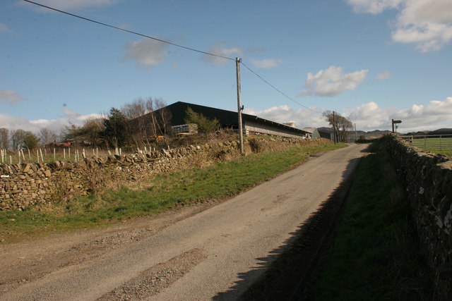
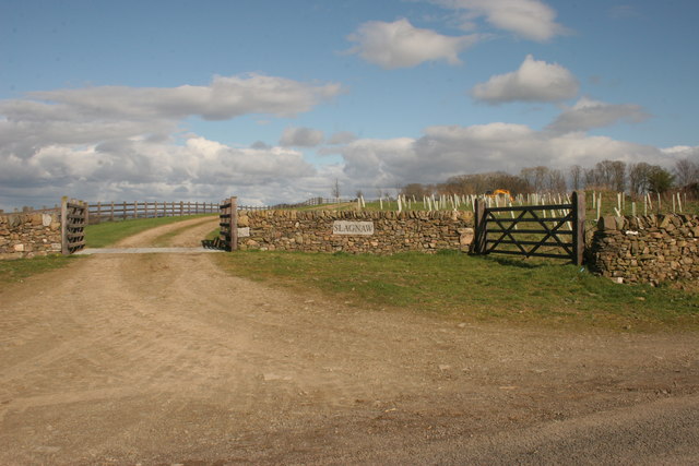
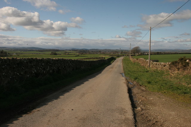
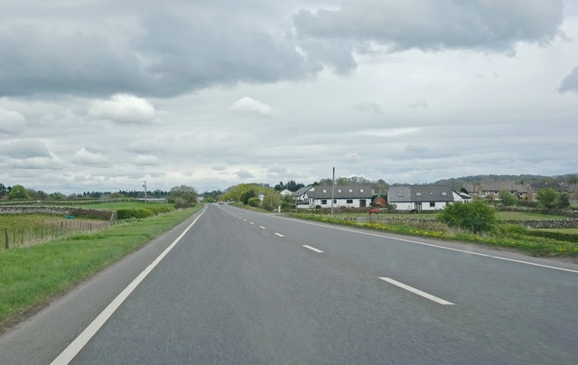
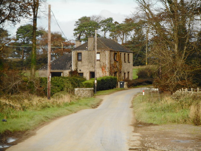
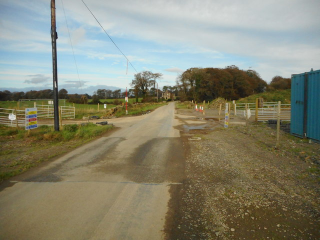
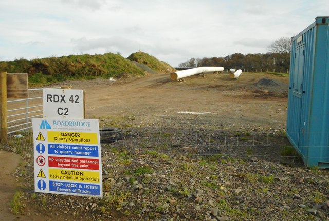
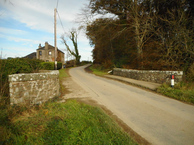
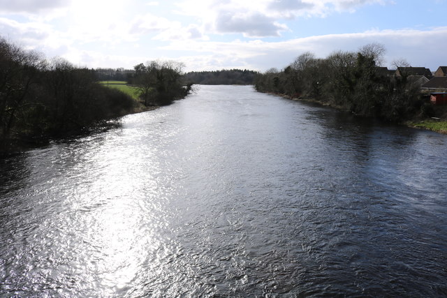
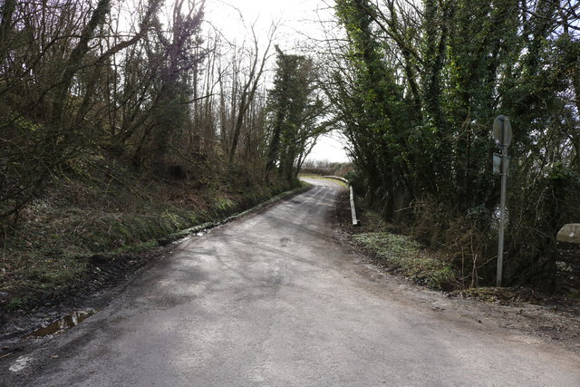
Birkhill Woods Images
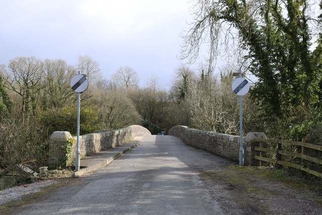
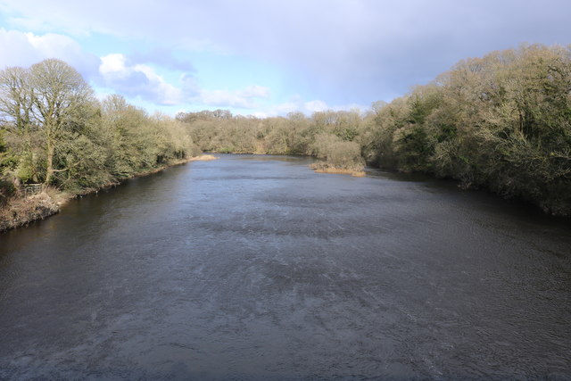
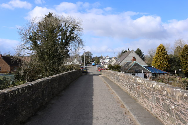
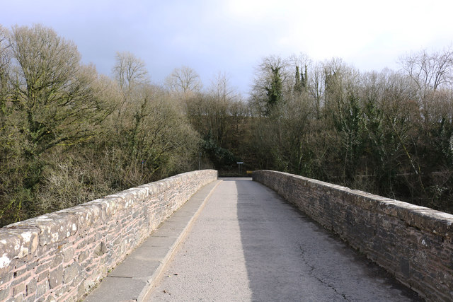
Images are sourced within 2km of 54.912028/-3.977631 or Grid Reference NX7359. Thanks to Geograph Open Source API. All images are credited.
Birkhill Woods is located at Grid Ref: NX7359 (Lat: 54.912028, Lng: -3.977631)
Unitary Authority: Dumfries and Galloway
Police Authority: Dumfries and Galloway
What 3 Words
///perused.solids.stirs. Near Castle Douglas, Dumfries & Galloway
Nearby Locations
Related Wikis

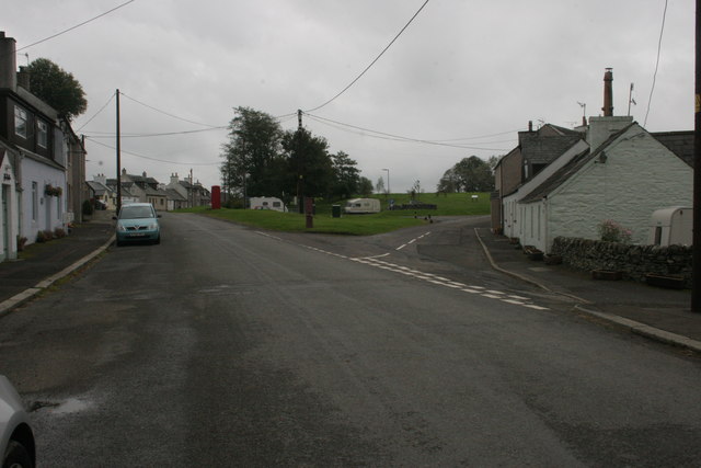
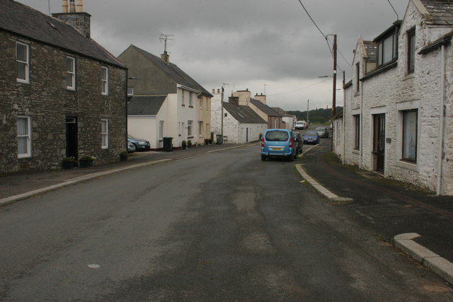
Bridge of Dee, Galloway
Bridge of Dee, Galloway is a settlement on the River Dee, Galloway. It lies on the A75 just west of Castle Douglas, and north-east of Kirkcudbright. The...

Bridge of Dee railway station
Bridge of Dee railway station served the settlement of Bridge of Dee, Dumfries and Galloway, Scotland from 1864 to 1949 on the Kirkcudbright Railway....

Threave Gardens
Threave Garden and Estate is a series of gardens owned and managed by the National Trust for Scotland, located near Castle Douglas in the historical county...

Threave Castle
Threave Castle is situated on an island in the River Dee, 2.5 kilometres (1.6 mi) west of Castle Douglas in the historical county of Kirkcudbrightshire...
Nearby Amenities
Located within 500m of 54.912028,-3.977631Have you been to Birkhill Woods?
Leave your review of Birkhill Woods below (or comments, questions and feedback).