Birk Hill
Hill, Mountain in Kirkcudbrightshire
Scotland
Birk Hill
Birk Hill is a prominent hill located in the historic county of Kirkcudbrightshire in southwest Scotland. Situated near the town of Castle Douglas, it forms part of the Galloway Hills range, known for its picturesque landscapes and diverse wildlife.
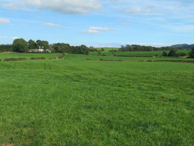
Rising to an elevation of approximately 394 meters (1,291 feet), Birk Hill offers breathtaking panoramic views of the surrounding countryside. The hill is characterized by its gentle slopes and lush greenery, which make it a popular destination for outdoor enthusiasts and nature lovers. The surrounding area is home to a variety of plant and animal species, including heather, oak, and an array of birdlife.
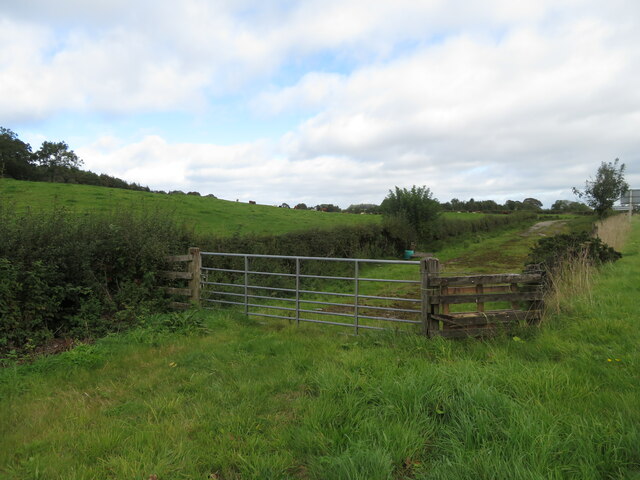
The hill is easily accessible, with several well-maintained walking trails leading to its summit. These trails cater to different fitness levels, ensuring that visitors of all abilities can enjoy the natural beauty of Birk Hill. Along the way, walkers may encounter charming streams, rocky outcrops, and even remnants of historic settlements, providing a glimpse into the area's rich heritage.
Birk Hill is also a popular spot for birdwatchers, as it provides a habitat for a range of species, including red kites, buzzards, and peregrine falcons. The hill's open landscape and favorable conditions make it an excellent location for observing these majestic creatures in their natural environment.
Overall, Birk Hill in Kirkcudbrightshire offers a delightful combination of natural beauty, recreational opportunities, and wildlife sightings. Whether for a leisurely walk, a birdwatching expedition, or simply enjoying the tranquility of the Scottish countryside, Birk Hill is a destination worth exploring.
If you have any feedback on the listing, please let us know in the comments section below.
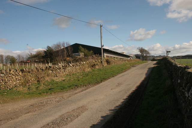
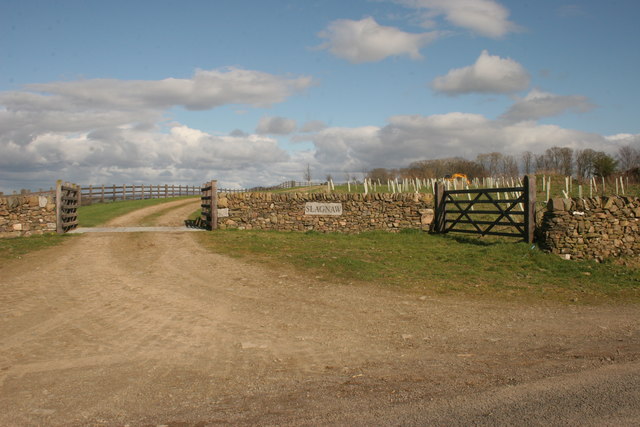
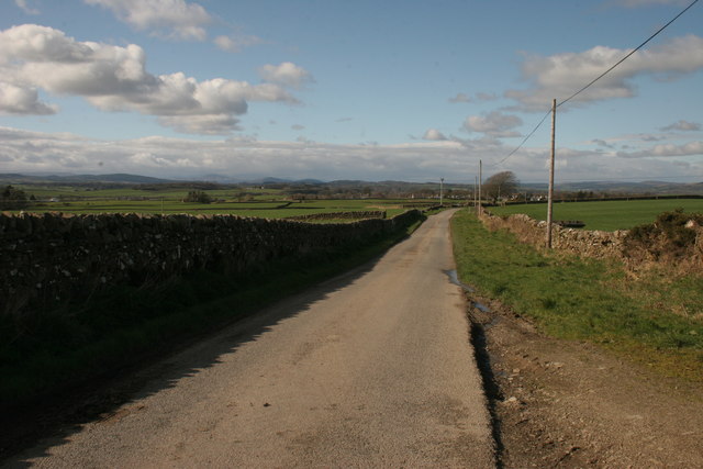
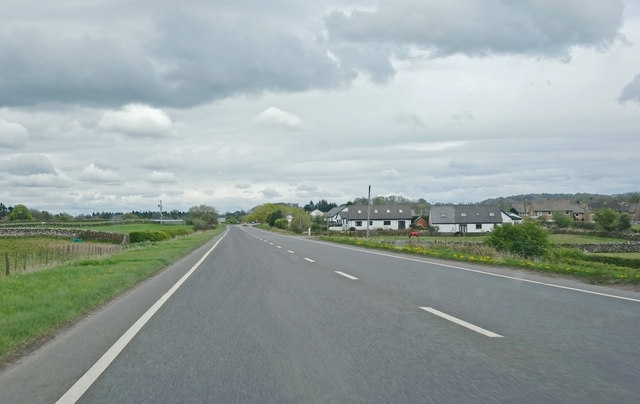
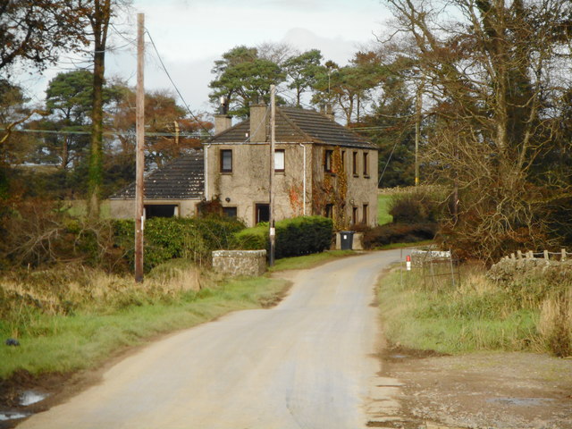
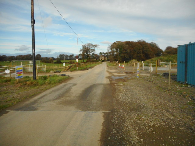
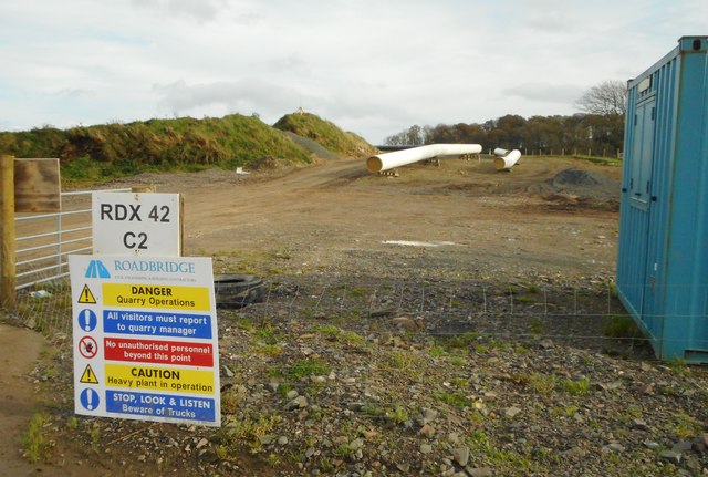
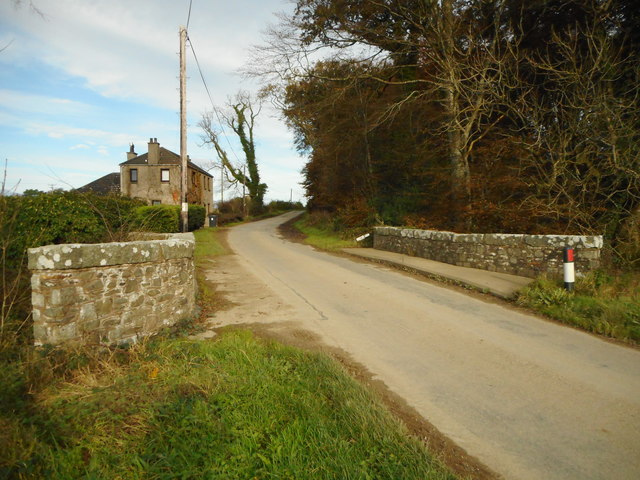
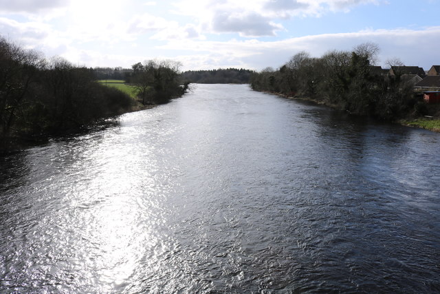
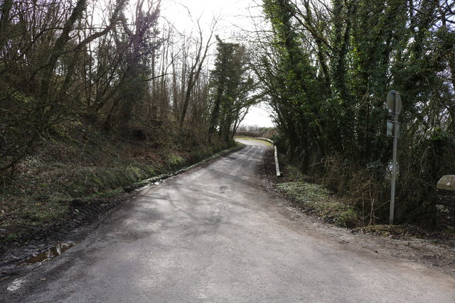
Birk Hill Images
Images are sourced within 2km of 54.911585/-3.9766732 or Grid Reference NX7359. Thanks to Geograph Open Source API. All images are credited.
Birk Hill is located at Grid Ref: NX7359 (Lat: 54.911585, Lng: -3.9766732)
Unitary Authority: Dumfries and Galloway
Police Authority: Dumfries and Galloway
What 3 Words
///frostbite.inched.composes. Near Castle Douglas, Dumfries & Galloway
Nearby Locations
Related Wikis

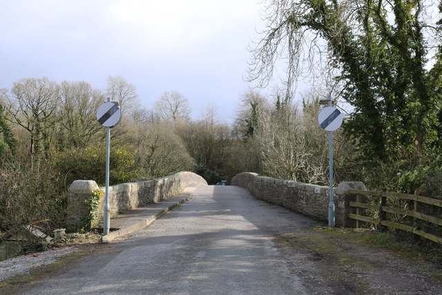
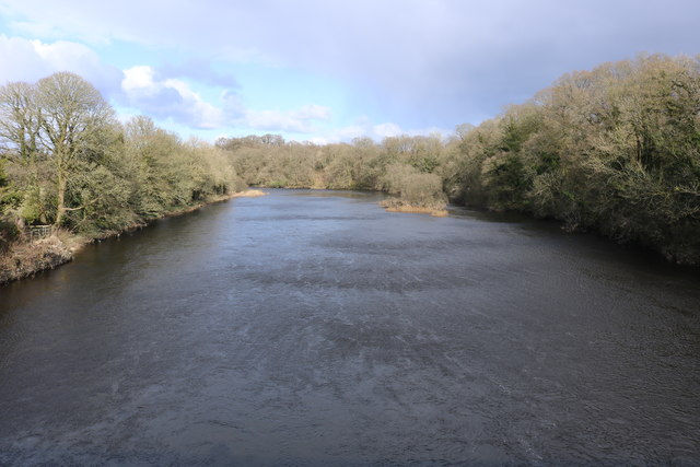
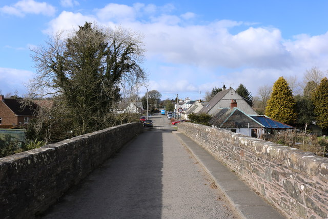
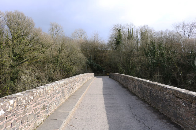
Bridge of Dee, Galloway
Bridge of Dee, Galloway is a settlement on the River Dee, Galloway. It lies on the A75 just west of Castle Douglas, and north-east of Kirkcudbright. The...

Bridge of Dee railway station
Bridge of Dee railway station served the settlement of Bridge of Dee, Dumfries and Galloway, Scotland from 1864 to 1949 on the Kirkcudbright Railway....

Threave Gardens
Threave Garden and Estate is a series of gardens owned and managed by the National Trust for Scotland, located near Castle Douglas in the historical county...

Threave Castle
Threave Castle is situated on an island in the River Dee, 2.5 kilometres (1.6 mi) west of Castle Douglas in the historical county of Kirkcudbrightshire...
Nearby Amenities
Located within 500m of 54.911585,-3.9766732Have you been to Birk Hill?
Leave your review of Birk Hill below (or comments, questions and feedback).