The Fell
Wood, Forest in Stirlingshire
Scotland
The Fell
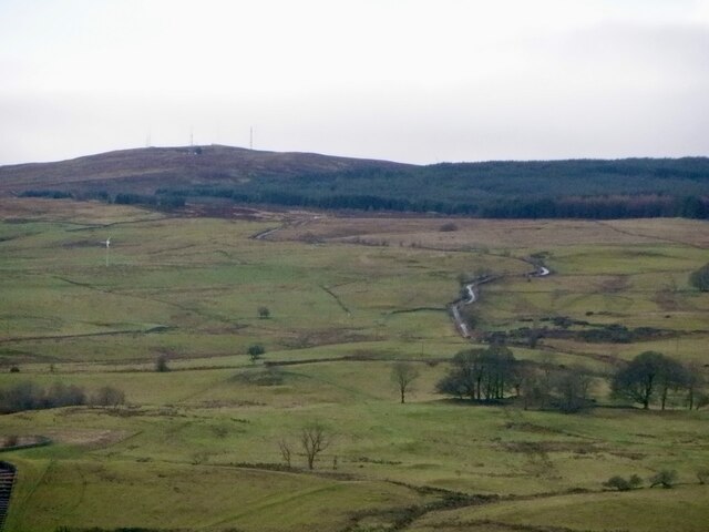
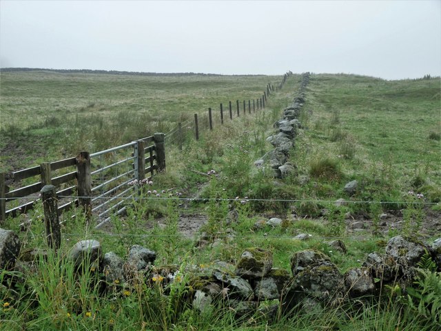
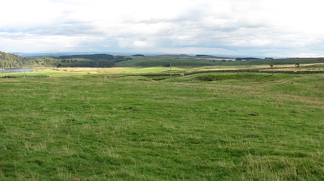
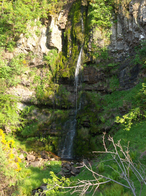
The Fell, located in Stirlingshire, Scotland, is a picturesque woodland area known for its scenic beauty and diverse ecosystem. Spanning approximately 100 acres, this forested region is characterized by its dense growth of trees and abundant wildlife.
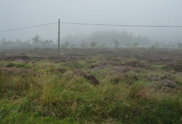
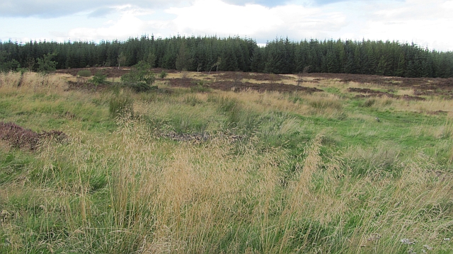
The woodlands of The Fell are primarily composed of native tree species, including oak, birch, rowan, and pine. These trees create a thick canopy that provides shade and shelter for a variety of plant and animal species. The forest floor is covered in a lush carpet of ferns, mosses, and wildflowers, adding to the area's natural beauty.
The Fell is home to a wide range of wildlife, making it a popular destination for nature enthusiasts and birdwatchers. Visitors can spot numerous bird species, such as woodpeckers, owls, and various songbirds. The forest also provides a habitat for mammals like red squirrels, roe deer, and foxes.
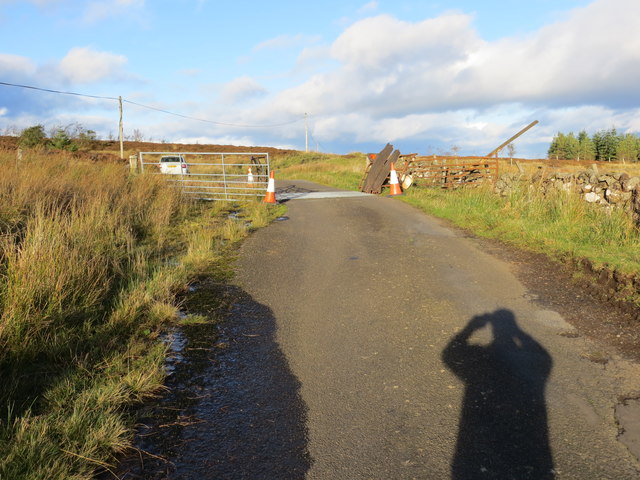
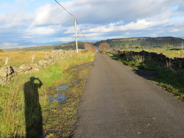
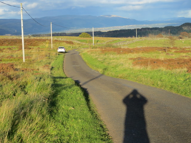
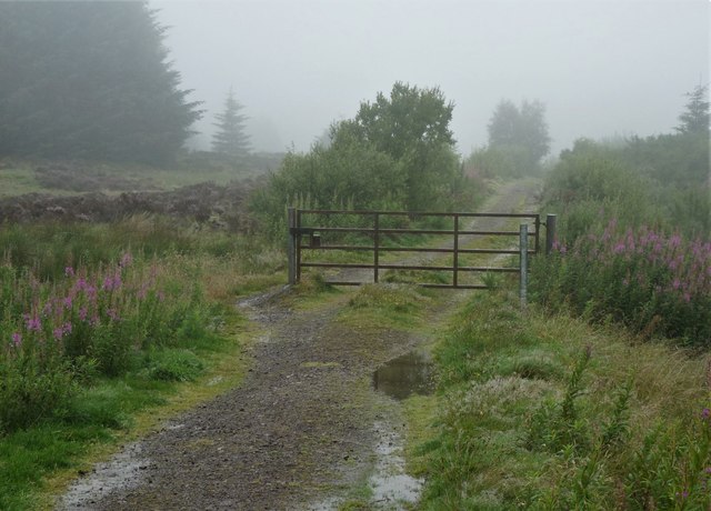
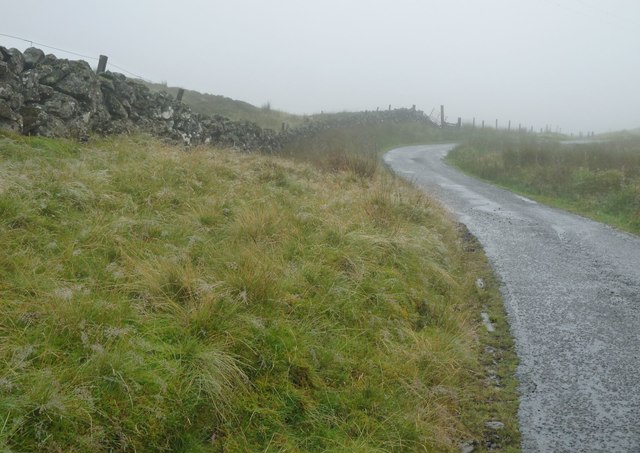
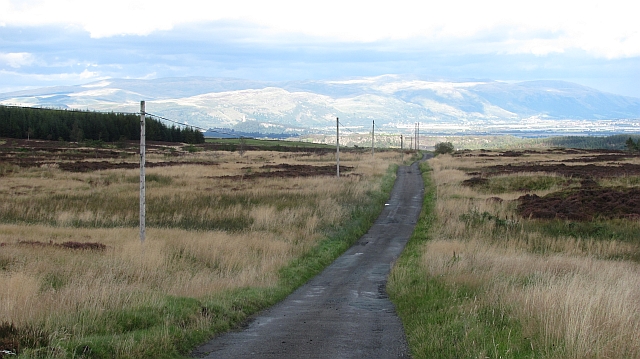
In addition to its natural wonders, The Fell offers a network of walking trails that allow visitors to explore the forest at their own pace. These well-maintained paths wind through the woodlands, providing opportunities for peaceful walks and nature photography. The forest also has designated picnic areas, where visitors can relax and enjoy a meal amidst the tranquil surroundings.
Overall, The Fell in Stirlingshire is a captivating woodland area that showcases the beauty of Scotland's natural landscape. With its diverse flora and fauna, it offers a peaceful retreat for those seeking solace in nature.
If you have any feedback on the listing, please let us know in the comments section below.
The Fell Images
Images are sourced within 2km of 56.078386/-4.043843 or Grid Reference NS7289. Thanks to Geograph Open Source API. All images are credited.


The Fell is located at Grid Ref: NS7289 (Lat: 56.078386, Lng: -4.043843)
Unitary Authority: Stirling
Police Authority: Forth Valley
What 3 Words
///herring.fingertip.remarried. Near Stirling
Nearby Locations
Related Wikis

Stirling Transmitting Station
Stirling Transmitting Station is a transmission facility on Earl's Hill southwest of Stirling, Scotland. It was built at the end of the 1950s for the radio...
Central 103.1 FM
Central FM is an Independent Local Radio station serving Falkirk, Stirling, Clackmannanshire and the Forth Valley. It is owned and operated by businessman...
Touch House
Touch House is a country house located 4 kilometres (2.5 mi) west of Stirling in central Scotland. It stands at the foot of the Touch Hills, on the south...
Downie's Loup
Downie's Loup is a waterfall of Scotland located near the village of Gargunnock. == See also == Waterfalls of Scotland == References ==
Have you been to The Fell?
Leave your review of The Fell below (or comments, questions and feedback).