Touchadam Muir
Wood, Forest in Stirlingshire
Scotland
Touchadam Muir

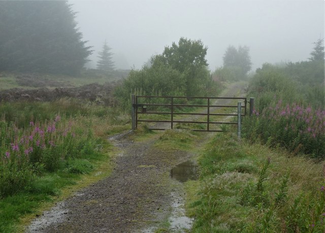
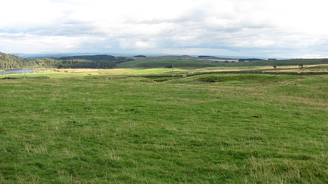
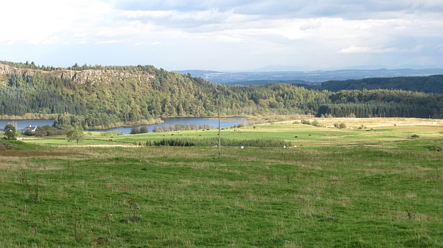
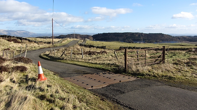
Touchadam Muir is a picturesque woodland area located in Stirlingshire, Scotland. Situated near the village of Touchadam, it covers a vast expanse of land and is renowned for its natural beauty and diverse flora and fauna.
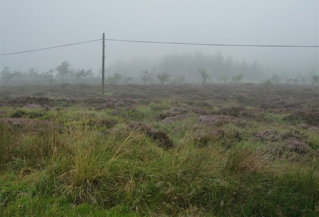
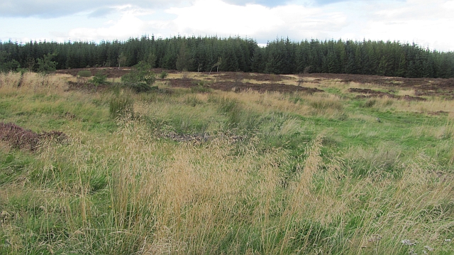
The muir is primarily composed of dense forests, with towering trees providing shelter and creating a serene and peaceful atmosphere. The woodlands consist of a mixture of native and non-native tree species, including oak, birch, pine, and beech, forming a rich and varied ecosystem.
The area is a haven for wildlife, with numerous species calling it home. Birdwatchers can spot a wide range of avian species, including woodpeckers, owls, and various songbirds. Squirrels, rabbits, and other small mammals can often be seen scurrying among the undergrowth, adding to the charm of the woodland.
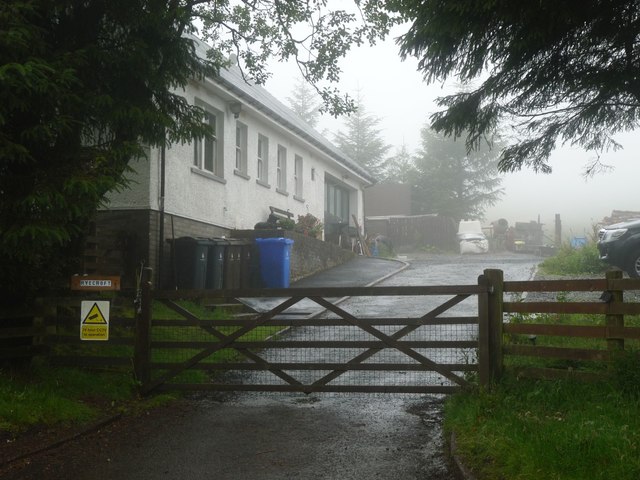
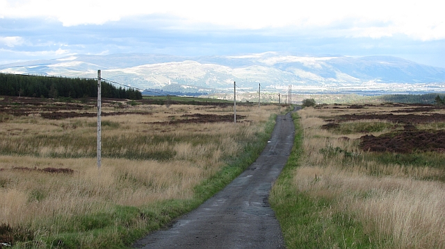
Touchadam Muir offers visitors a multitude of recreational opportunities. There are several well-maintained walking trails that wind through the woodland, allowing nature enthusiasts to explore the area at their own pace. The tranquil surroundings make it an ideal location for picnics, and there are designated areas for visitors to relax and enjoy the peaceful ambiance.
The muir is also of historical significance, with remnants of an ancient settlement dating back to prehistoric times. Archaeological sites and artifacts have been discovered, providing insights into the lives of the people who once inhabited the area.
Overall, Touchadam Muir in Stirlingshire is a captivating woodland that showcases the natural beauty of Scotland. With its diverse wildlife, stunning scenery, and recreational opportunities, it is a must-visit destination for nature lovers and those seeking a peaceful escape.
If you have any feedback on the listing, please let us know in the comments section below.
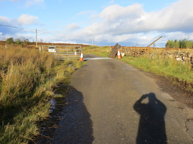
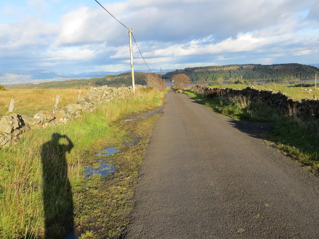
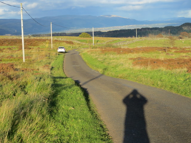
Touchadam Muir Images
Images are sourced within 2km of 56.082174/-4.0506329 or Grid Reference NS7289. Thanks to Geograph Open Source API. All images are credited.


Touchadam Muir is located at Grid Ref: NS7289 (Lat: 56.082174, Lng: -4.0506329)
Unitary Authority: Stirling
Police Authority: Forth Valley
What 3 Words
///frosted.reassured.squirts. Near Stirling
Nearby Locations
Related Wikis

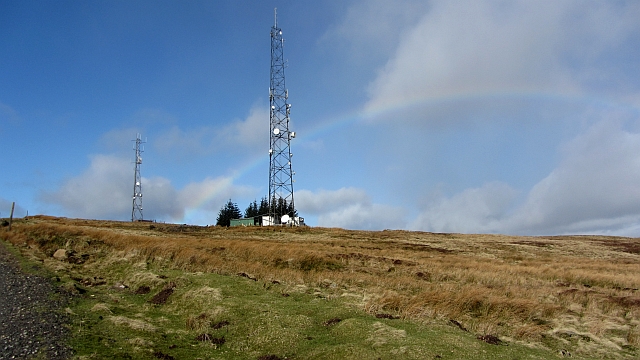
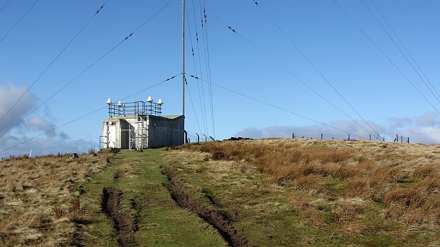
Stirling Transmitting Station
Stirling Transmitting Station is a transmission facility on Earl's Hill southwest of Stirling, Scotland. It was built at the end of the 1950s for the radio...
Central 103.1 FM
Central FM is an Independent Local Radio station serving Falkirk, Stirling, Clackmannanshire and the Forth Valley. It is owned and operated by businessman...
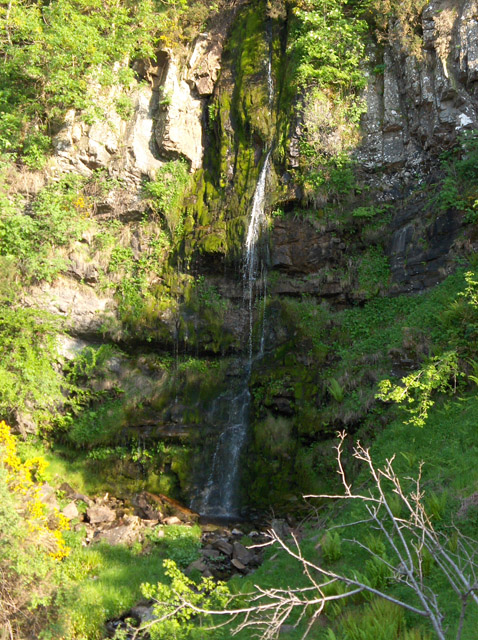
Downie's Loup
Downie's Loup is a waterfall of Scotland located near the village of Gargunnock. == See also == Waterfalls of Scotland == References ==

Gargunnock Hills
The Gargunnock Hills are a range of hills west of the city of Stirling, Scotland. They culminate in the peak of Carleatheran, whose 485-metre (1,591 ft...
Nearby Amenities
Located within 500m of 56.082174,-4.0506329Have you been to Touchadam Muir?
Leave your review of Touchadam Muir below (or comments, questions and feedback).