Auchenvey Plantation
Wood, Forest in Kirkcudbrightshire
Scotland
Auchenvey Plantation

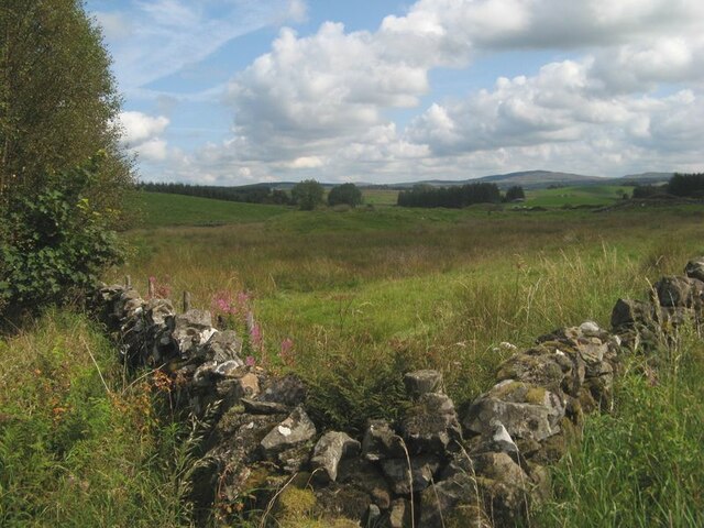
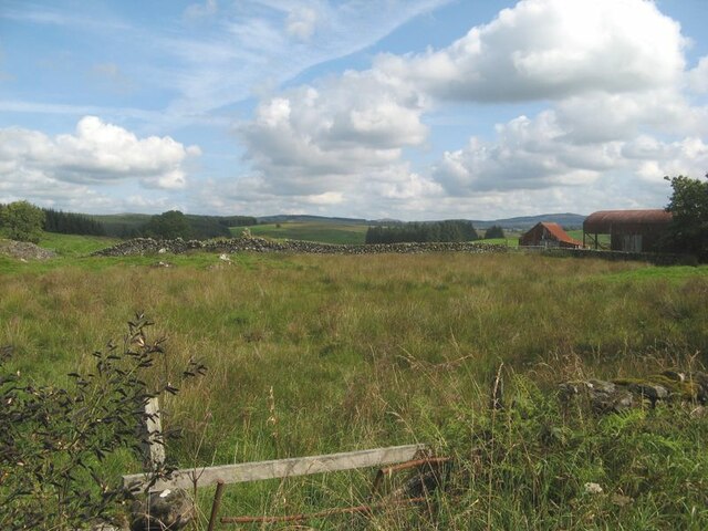
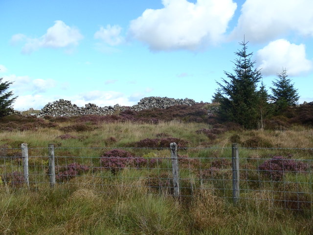
Auchenvey Plantation is a sprawling woodland located in the scenic area of Kirkcudbrightshire, Scotland. Covering a vast area, the plantation encompasses a diverse range of trees and flora, presenting a rich tapestry of colors throughout the seasons. The woodland is predominantly made up of mature coniferous trees, such as Scots pine, Douglas fir, and larch, which create a dense and enchanting forest environment.
The plantation offers a peaceful and tranquil setting, making it a popular destination for nature enthusiasts, walkers, and outdoor enthusiasts. A network of well-maintained footpaths and trails winds through the woodland, providing opportunities for exploration and discovery. These paths lead visitors through groves of ancient trees, over babbling streams, and past picturesque viewpoints, offering breathtaking vistas of the surrounding countryside.
The plantation is also home to a diverse array of wildlife. Birdwatchers can spot a variety of species, including buzzards, owls, and woodpeckers, while red squirrels can be seen darting amongst the treetops. The plantation's rich biodiversity extends to its forest floor, where a carpet of wildflowers, ferns, and mosses flourish.
Auchenvey Plantation is a place where visitors can connect with nature and enjoy the serenity of the Scottish countryside. Its beauty, tranquility, and abundant wildlife make it a truly captivating destination for those seeking an escape from the hustle and bustle of everyday life.
If you have any feedback on the listing, please let us know in the comments section below.
Auchenvey Plantation Images
Images are sourced within 2km of 55.072766/-3.9948747 or Grid Reference NX7277. Thanks to Geograph Open Source API. All images are credited.


Auchenvey Plantation is located at Grid Ref: NX7277 (Lat: 55.072766, Lng: -3.9948747)
Unitary Authority: Dumfries and Galloway
Police Authority: Dumfries and Galloway
What 3 Words
///nuptials.puff.shuts. Near Castle Douglas, Dumfries & Galloway
Nearby Locations
Related Wikis

Corsock
Corsock (Scottish Gaelic: Corsag) is a village in the historical county of Kirkcudbrightshire, Dumfries and Galloway, south-west Scotland. It is located...

Glenlair House
Glenlair, near the village of Corsock in the historical county of Kirkcudbrightshire, in Dumfries and Galloway, was the home of the physicist James Clerk...

Ironmacannie Mill
Ironmacannie Mill is a historic watermill near Balmaclellan in Dumfries and Galloway, Scotland. Built in the 18th and 19th centuries, on the site of an...

Loch Skae
Loch Skae is a small, upland freshwater loch to the north of Blackcraig Hill, approximately 18 miles (29 km) west of Dumfries, Scotland, 0.5 mi (0.80 km...

Dumfries and Galloway
Dumfries and Galloway (Scots: Dumfries an Gallowa; Scottish Gaelic: Dùn Phrìs is Gall-Ghaidhealaibh) is one of the 32 unitary council areas of Scotland...

Craigenputtock
Craigenputtock (usually spelled by the Carlyles as Craigenputtoch) is an estate in Scotland where Thomas Carlyle lived from 1828 to 1834. He wrote several...

Loch Howie
Loch Howie is a small, narrow, upland freshwater loch on the north side of Blackcraig Hill, approximately 18 miles (29 km) west of Dumfries, Scotland....

Barscobe Castle
Barscobe Castle is a 17th-century tower house in Balmaclellan, Kirkcudbrightshire, Scotland. It is a typical house of a country laird, and according to...
Nearby Amenities
Located within 500m of 55.072766,-3.9948747Have you been to Auchenvey Plantation?
Leave your review of Auchenvey Plantation below (or comments, questions and feedback).