Back Hill
Hill, Mountain in Kirkcudbrightshire
Scotland
Back Hill

Back Hill is a prominent hill located in the historic county of Kirkcudbrightshire, Scotland. Situated towards the southern end of the county, the hill offers breathtaking panoramic views of the surrounding countryside.
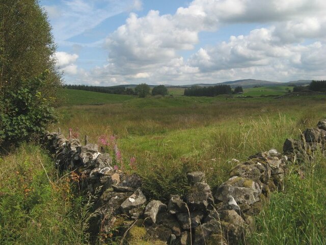
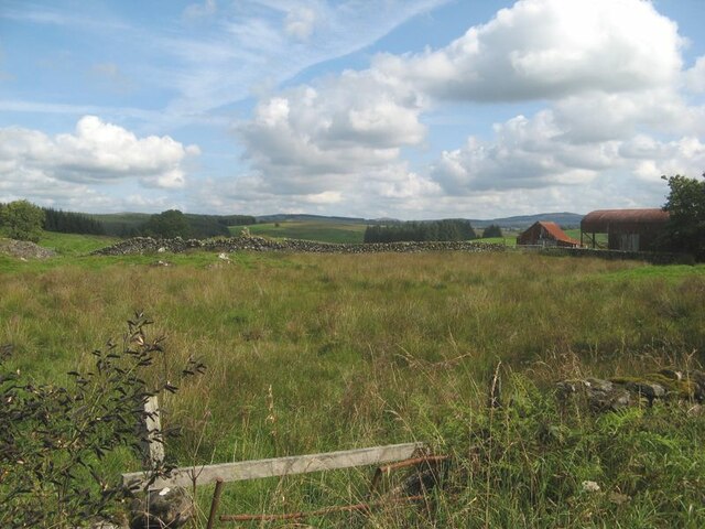
Standing at an elevation of approximately 450 meters (1,480 feet), Back Hill is a prominent feature within the local landscape. It is composed mainly of sedimentary rocks, with its slopes covered in heather, grass, and scattered shrubs. The hill's summit is relatively flat, offering a relatively easy climb to reach its peak.
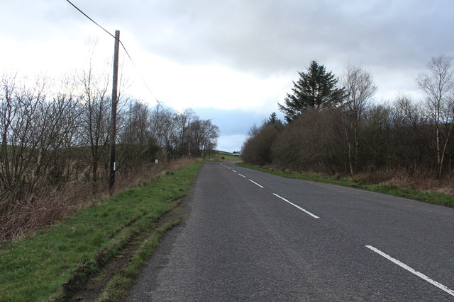
The hill is a popular destination for hikers and outdoor enthusiasts due to its accessibility and stunning vistas. From the top, visitors can marvel at the expansive views of the rolling hills, nearby valleys, and the distant coastline. On a clear day, it is even possible to see as far as the Galloway Forest Park and the Solway Firth.
Back Hill is also home to a rich variety of flora and fauna. The heather-covered slopes provide habitat for numerous bird species, and occasional sightings of birds of prey, such as buzzards and kestrels, are not uncommon. The hill is also home to a variety of wildflowers and small mammals, adding to its biodiversity.
Overall, Back Hill in Kirkcudbrightshire is a must-visit destination for nature lovers, offering a rewarding hiking experience and breathtaking views of the picturesque Scottish countryside.
If you have any feedback on the listing, please let us know in the comments section below.
Back Hill Images
Images are sourced within 2km of 55.076641/-4.0052501 or Grid Reference NX7277. Thanks to Geograph Open Source API. All images are credited.


Back Hill is located at Grid Ref: NX7277 (Lat: 55.076641, Lng: -4.0052501)
Unitary Authority: Dumfries and Galloway
Police Authority: Dumfries and Galloway
What 3 Words
///fixtures.strictest.dispose. Near Castle Douglas, Dumfries & Galloway
Nearby Locations
Related Wikis

Corsock
Corsock (Scottish Gaelic: Corsag) is a village in the historical county of Kirkcudbrightshire, Dumfries and Galloway, south-west Scotland. It is located...

Ironmacannie Mill
Ironmacannie Mill is a historic watermill near Balmaclellan in Dumfries and Galloway, Scotland. Built in the 18th and 19th centuries, on the site of an...

Loch Skae
Loch Skae is a small, upland freshwater loch to the north of Blackcraig Hill, approximately 18 miles (29 km) west of Dumfries, Scotland, 0.5 mi (0.80 km...

Loch Howie
Loch Howie is a small, narrow, upland freshwater loch on the north side of Blackcraig Hill, approximately 18 miles (29 km) west of Dumfries, Scotland....
Nearby Amenities
Located within 500m of 55.076641,-4.0052501Have you been to Back Hill?
Leave your review of Back Hill below (or comments, questions and feedback).