Black Stockarton Moor
Wood, Forest in Kirkcudbrightshire
Scotland
Black Stockarton Moor

Black Stockarton Moor is a picturesque wood located in the region of Kirkcudbrightshire, Scotland. Covering an area of approximately 50 hectares, this forested landscape is renowned for its natural beauty and diverse ecosystem. The moor is situated in close proximity to the village of Gatehouse of Fleet, and offers a tranquil retreat for nature enthusiasts and outdoor enthusiasts alike.
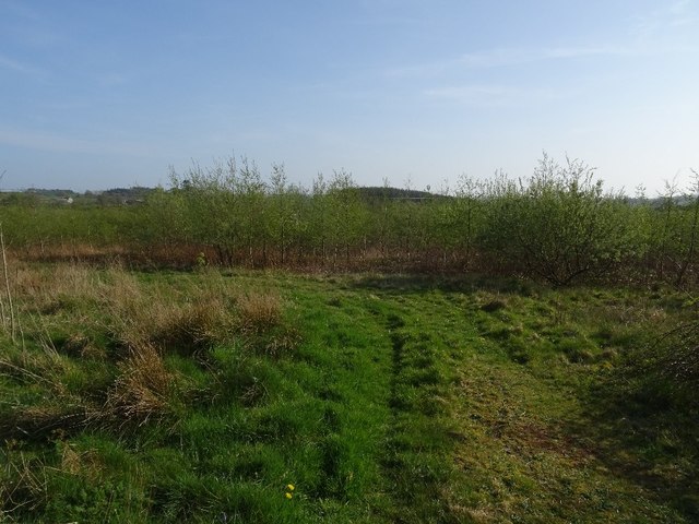
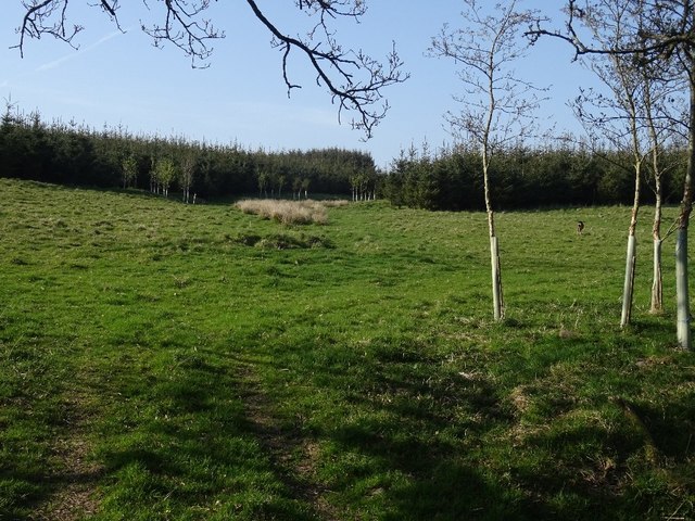
The forest of Black Stockarton Moor is primarily composed of native trees such as oak, birch, and rowan, which provide a rich habitat for a variety of wildlife including red squirrels, roe deer, and various bird species. The dense canopy of trees creates a shaded environment, making it a perfect spot for walking, birdwatching, and photography.
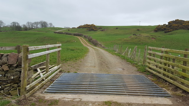
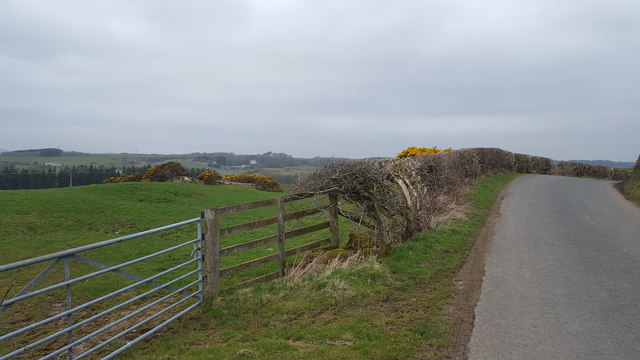
The moor is crisscrossed by a network of well-maintained footpaths and trails, which allow visitors to explore the wood at their leisure. These paths lead through the heart of the forest, providing opportunities to observe the flora and fauna up close. The area is also home to several small ponds and streams, which add to the natural charm of the landscape.
Black Stockarton Moor is managed by the local forestry commission, which ensures the preservation and conservation of the wood. The commission regularly conducts tree planting and maintenance activities to enhance the biodiversity of the area. It also organizes educational programs and guided walks to promote awareness about the importance of sustainable forestry practices and the ecological value of the wood.
In summary, Black Stockarton Moor is a captivating forested area in Kirkcudbrightshire, offering a serene and immersive experience in nature. With its diverse wildlife, well-marked trails, and conservation efforts, it remains a popular destination for nature lovers and those seeking a peaceful retreat.
If you have any feedback on the listing, please let us know in the comments section below.
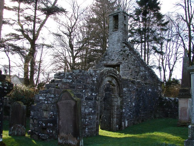
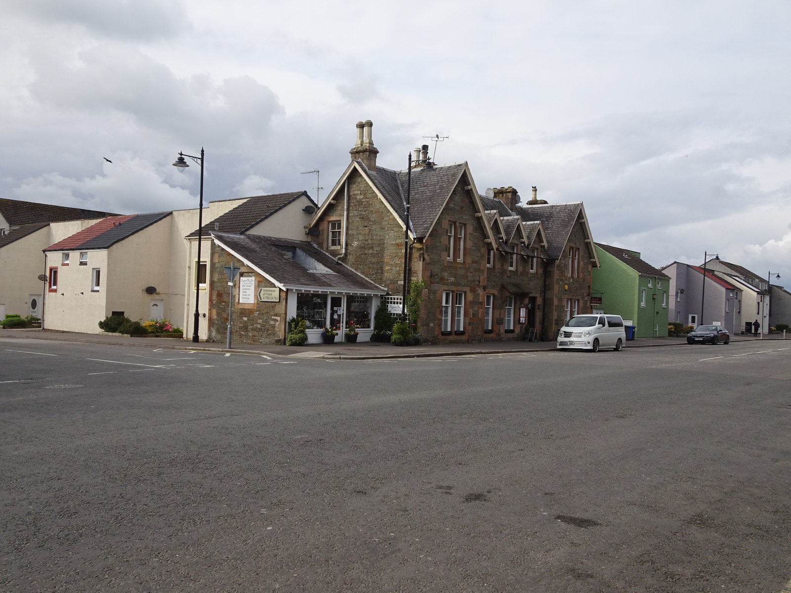
Black Stockarton Moor Images
Images are sourced within 2km of 54.875777/-3.9854255 or Grid Reference NX7255. Thanks to Geograph Open Source API. All images are credited.


Black Stockarton Moor is located at Grid Ref: NX7255 (Lat: 54.875777, Lng: -3.9854255)
Unitary Authority: Dumfries and Galloway
Police Authority: Dumfries and Galloway
What 3 Words
///fidgeting.topping.opposites. Near Kirkcudbright, Dumfries & Galloway
Nearby Locations
Related Wikis

Tongland
Tongland is a small village about 2 miles (3 km) north of Kirkcudbright, in the historic county of Kirkcudbrightshire in Dumfries and Galloway, Scotland...
Tongland Abbey
Tungland or Tongland Abbey was a Premonstratensian monastic community located in Tongland in the historical county of Kirkcudbrightshire in Dumfries and...

Airieland
Airieland is a farm in the historical county of Kirkcudbrightshire, in the Scottish council area of Dumfries and Galloway. It is found 3 miles (5 km) south...

Tarff railway station
Tarff railway station served the village of Ringford, Dumfries and Galloway, Scotland from 1864 to 1965 on the Kirkcudbright Railway. == History == The...
Ringford
Ringford is a village in the historical county of Kirkcudbrightshire in Dumfries and Galloway located at grid reference NX689578 beside the Tarff Water...

Bridge of Dee, Galloway
Bridge of Dee, Galloway is a settlement on the River Dee, Galloway. It lies on the A75 just west of Castle Douglas, and north-east of Kirkcudbright. The...

Bridge of Dee railway station
Bridge of Dee railway station served the settlement of Bridge of Dee, Dumfries and Galloway, Scotland from 1864 to 1949 on the Kirkcudbright Railway....
Kirkcudbright Railway
The Kirkcudbright Railway was a railway branch line linking Kirkcudbright to the Castle Douglas and Dumfries Railway at Castle Douglas. It opened in 1864...
Nearby Amenities
Located within 500m of 54.875777,-3.9854255Have you been to Black Stockarton Moor?
Leave your review of Black Stockarton Moor below (or comments, questions and feedback).