Milnthird Hill
Hill, Mountain in Kirkcudbrightshire
Scotland
Milnthird Hill

Milnthird Hill is a prominent hill located in the region of Kirkcudbrightshire, Scotland. Situated near the town of Kirkcudbright, it is a popular destination for outdoor enthusiasts and nature lovers due to its breathtaking views and diverse flora and fauna.
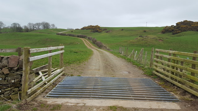
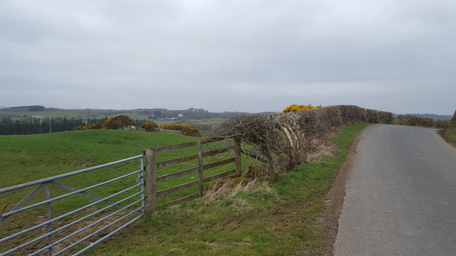
Rising to an elevation of approximately 237 meters (778 feet), Milnthird Hill offers panoramic vistas of the surrounding countryside, including the rolling hills, farmland, and nearby forests. The hill is easily accessible, with well-maintained footpaths and trails leading to its summit, making it suitable for hikers of all skill levels.
The hill is covered in a variety of vegetation, including heather, grasses, and wildflowers, creating a vibrant and picturesque landscape. It is also home to various wildlife species, such as rabbits, hares, and a multitude of bird species, making it an excellent spot for birdwatching.
At the top of Milnthird Hill, visitors can find a trig point, which serves as a marker for surveying purposes. This provides a great photo opportunity and adds to the sense of accomplishment after reaching the summit.
Milnthird Hill offers a peaceful and serene environment, allowing visitors to escape the hustle and bustle of everyday life. Whether it's for a leisurely stroll, a challenging hike, or simply to enjoy the beauty of nature, Milnthird Hill is a must-visit destination for those exploring the Kirkcudbrightshire region.
If you have any feedback on the listing, please let us know in the comments section below.
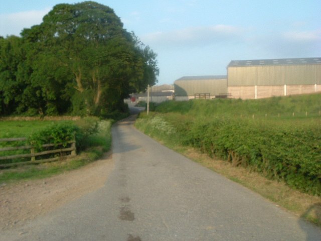
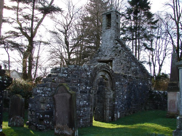
Milnthird Hill Images
Images are sourced within 2km of 54.882171/-3.9945637 or Grid Reference NX7255. Thanks to Geograph Open Source API. All images are credited.


Milnthird Hill is located at Grid Ref: NX7255 (Lat: 54.882171, Lng: -3.9945637)
Unitary Authority: Dumfries and Galloway
Police Authority: Dumfries and Galloway
What 3 Words
///clash.shrug.rental. Near Kirkcudbright, Dumfries & Galloway
Nearby Locations
Related Wikis

Tongland
Tongland is a small village about 2 miles (3 km) north of Kirkcudbright, in the historic county of Kirkcudbrightshire in Dumfries and Galloway, Scotland...
Tongland Abbey
Tungland or Tongland Abbey was a Premonstratensian monastic community located in Tongland in the historical county of Kirkcudbrightshire in Dumfries and...

Tarff railway station
Tarff railway station served the village of Ringford, Dumfries and Galloway, Scotland from 1864 to 1965 on the Kirkcudbright Railway. == History == The...

Ringford
Ringford is a village in the historical county of Kirkcudbrightshire in Dumfries and Galloway located at grid reference NX689578 beside the Tarff Water...
Airieland
Airieland is a farm in the historical county of Kirkcudbrightshire, in the Scottish council area of Dumfries and Galloway. It is found 3 miles (5 km) south...

Bridge of Dee, Galloway
Bridge of Dee, Galloway is a settlement on the River Dee, Galloway. It lies on the A75 just west of Castle Douglas, and north-east of Kirkcudbright. The...

Bridge of Dee railway station
Bridge of Dee railway station served the settlement of Bridge of Dee, Dumfries and Galloway, Scotland from 1864 to 1949 on the Kirkcudbright Railway....

Threave Gardens
Threave Garden and Estate is a series of gardens owned and managed by the National Trust for Scotland, located near Castle Douglas in the historical county...
Nearby Amenities
Located within 500m of 54.882171,-3.9945637Have you been to Milnthird Hill?
Leave your review of Milnthird Hill below (or comments, questions and feedback).