Birch Wood

Wood, Forest in Kirkcudbrightshire

Scotland

Birch Wood

A711 at Galtway The house on the right faces across the road towards the military training area.
A711 at Galtway Credit: Gordon Hatton

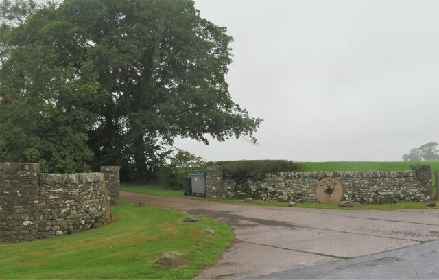
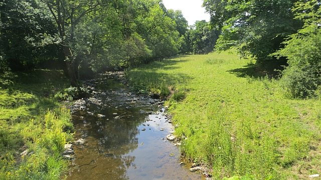
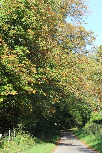
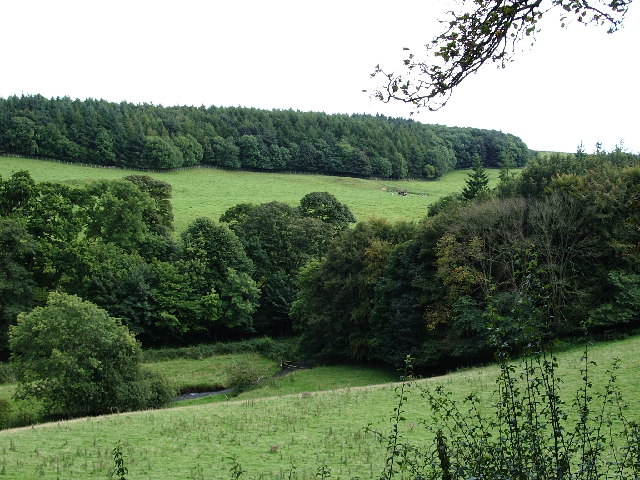
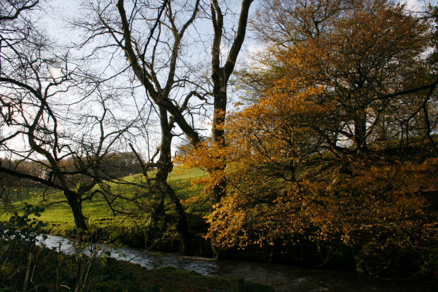
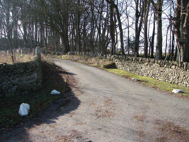
Birch Wood is a picturesque forest located in Kirkcudbrightshire, Scotland. The wood is characterized by its dense growth of birch trees, which create a serene and tranquil environment for visitors to enjoy. The forest covers a large area and provides ample opportunities for hiking, birdwatching, and other outdoor activities.

The birch trees in Birch Wood are known for their slender trunks and distinctive white bark, which stands out against the lush green foliage of the forest. The dappled sunlight filtering through the leaves creates a magical atmosphere, especially in the early morning or late afternoon.

Visitors to Birch Wood can expect to encounter a variety of wildlife, including deer, squirrels, and a wide array of bird species. The forest is also home to a diverse range of plant life, with wildflowers, ferns, and mosses adding to the natural beauty of the area.

Overall, Birch Wood is a peaceful and enchanting destination for nature lovers and outdoor enthusiasts looking to immerse themselves in the beauty of the Scottish countryside.

If you have any feedback on the listing, please let us know in the comments section below.

Birch Wood Images

Images are sourced within 2km of 54.821674/-4.0014801 or Grid Reference NX7149. Thanks to Geograph Open Source API. All images are credited.

A711 at Galtway The house on the right faces across the road towards the military training area.
A711 at Galtway
The house on the right faces across the road towards the military training area.
Farm entrance off A711 The entrance to the lane leading to Milton farm which stands at the edge of the military training area.
Farm entrance off A711
The entrance to the lane leading to Milton farm which stands at the edge of the military training area.
Wetland beneath Newlaw Hill Rough farmland looking a bit like the Dundrennan ranges.
Wetland beneath Newlaw Hill
Rough farmland looking a bit like the Dundrennan ranges.
Farm track, Bombie Galloway, dry at last. The armco suggests that cattle are loaded here.
Farm track, Bombie
Galloway, dry at last. The armco suggests that cattle are loaded here.
Road, Bombie A minor road between Dundrennan and Kirkcudbright. A near miss: Bombie Hill only overlooks the military lands - it would have been priceless if the name applied to one of the range hills instead.
Road, Bombie
A minor road between Dundrennan and Kirkcudbright. A near miss: Bombie Hill only overlooks the military lands - it would have been priceless if the name applied to one of the range hills instead.
Fields, Bombie Hill A previous view: <a href="https://www.geograph.org.uk/photo/736083">NX7149 : Bombie Hill</a>
Fields, Bombie Hill
A previous view: NX7149 : Bombie Hill
Road and fields, Bombie Grassland, somewhat parched at the end of a long dry spell.
Road and fields, Bombie
Grassland, somewhat parched at the end of a long dry spell.
Buckland Burn Downstream from Buckland Bridge.
Buckland Burn
Downstream from Buckland Bridge.
Minor Road SW of Buckland Bridge
Buckland Bridge
Buckland Bridge
The Buckland Burn at Cannee This is a view of the burn just after the Buckland Bridge, taken from the road, just before it enters the former Orchard Banks Plantation
The Buckland Burn at Cannee
This is a view of the burn just after the Buckland Bridge, taken from the road, just before it enters the former Orchard Banks Plantation
Sign for the delightfully named tongue of Bombie
The Buckland Burn The burn about 150 yards from the bridge, on the road to Corbie Nest.
The Buckland Burn
The burn about 150 yards from the bridge, on the road to Corbie Nest.
Driveway entrance to Milton Just off the A711 Kirkcudbright to Dundrennan road.
Driveway entrance to Milton
Just off the A711 Kirkcudbright to Dundrennan road.
Danger area entrance One of the entrance roads into the Kirkcudbright firing range.
Danger area entrance
One of the entrance roads into the Kirkcudbright firing range.
The A711 road west of Dundrennan
Castle Creavie Copse View from Castle Creavie entrance, the Drumboy-Buckland lane continues westward past the copse.
Castle Creavie Copse
View from Castle Creavie entrance, the Drumboy-Buckland lane continues westward past the copse.
Castle Creavie Entrance Entrance to Castle Creavie farm and holiday workshops.
Castle Creavie Entrance
Entrance to Castle Creavie farm and holiday workshops.
Show me another place!

Birch Wood is located at Grid Ref: NX7149 (Lat: 54.821674, Lng: -4.0014801)

Unitary Authority: Dumfries and Galloway

Police Authority: Dumfries and Galloway

What 3 Words

///impressed.guarded.expiring. Near Kirkcudbright, Dumfries & Galloway

Nearby Locations

Birch Wood Bombie Hill

Related Wikis

High Banks cup and ring markings

The High Banks cup and ring markings are a series of Neolithic or Bronze Age carvings on an outcrop of rock near High Banks farm, 3 km SE of Kirkcudbright...

Dundrennan Range

Dundrennan Range is a weapons testing range on the Solway Firth, near Kirkcudbright in Dumfries and Galloway, in south west Scotland, it is part of the...

Kirkcudbright

Kirkcudbright ( kur-KOO-bree; Scots: Kirkcoubrie; Scottish Gaelic: Cille Chùithbeirt) is a town, parish and a royal burgh from 1455 in Kirkcudbrightshire...

Kirkcudbright Hospital

Kirkcudbright Hospital is a health facility in Barrhill Road, Kirkcudbright, Dumfries and Galloway, Scotland. It is managed by NHS Dumfries and Galloway...

Nearby Amenities

Located within 500m of 54.821674,-4.0014801
Bombie Hill
Natural: peak
Source: Popular Edition (Scotland)
Lat/Long: 54.823671/-3.9964323
The data included in this document is from www.openstreetmap.org. The data is made available under ODbL.

Have you been to Birch Wood?

Leave your review of Birch Wood below (or comments, questions and feedback).