Tintum Wood

Wood, Forest in Kirkcudbrightshire

Scotland

Tintum Wood

Rough grazing north of Parton Rough grazing land in the hills above Parton.
Rough grazing north of Parton Credit: Peter Mackenzie

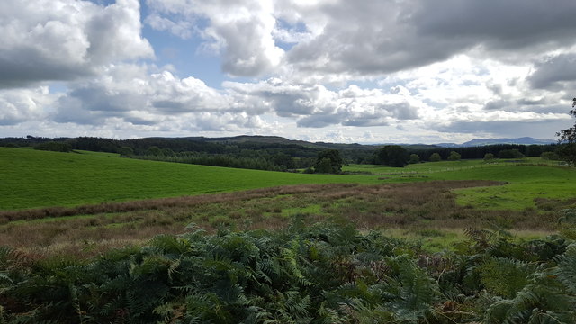
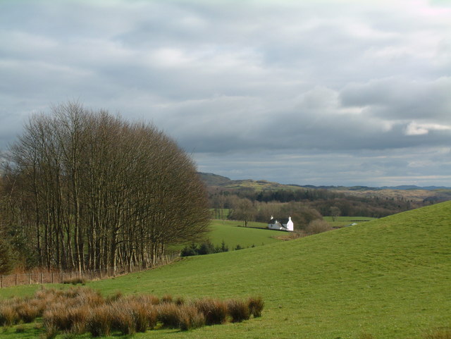
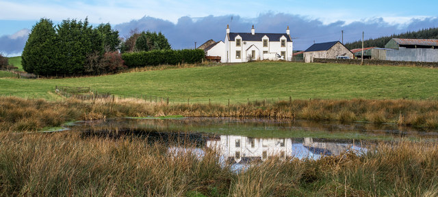
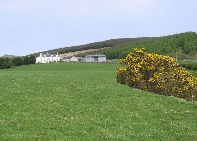
Tintum Wood is a picturesque forest located in the region of Kirkcudbrightshire, Scotland. Covering an area of approximately 100 hectares, this woodland is a haven for nature lovers and outdoor enthusiasts alike.

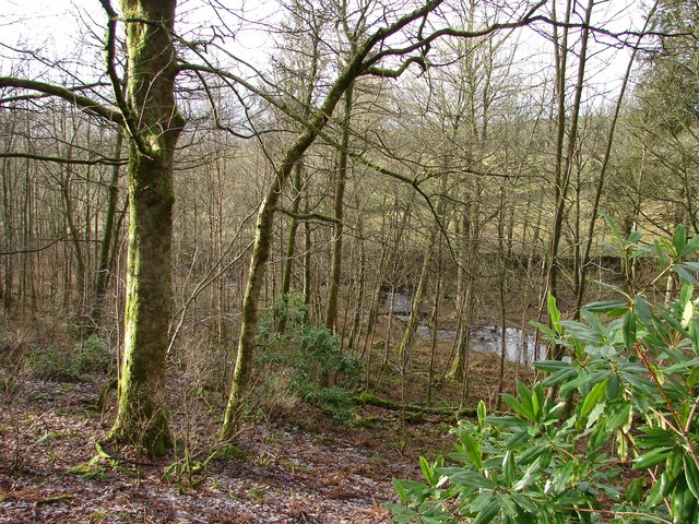
The wood is primarily made up of a mix of deciduous and coniferous trees, including oak, beech, and spruce. The diverse range of tree species creates a beautiful tapestry of colors throughout the seasons, with vibrant greens in the spring and summer, and golden hues in the autumn.

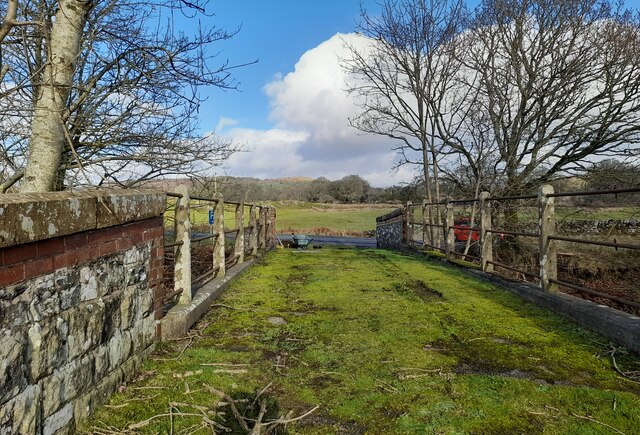
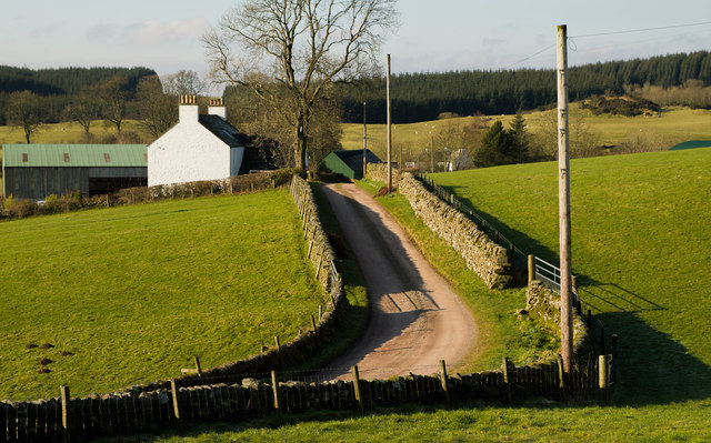
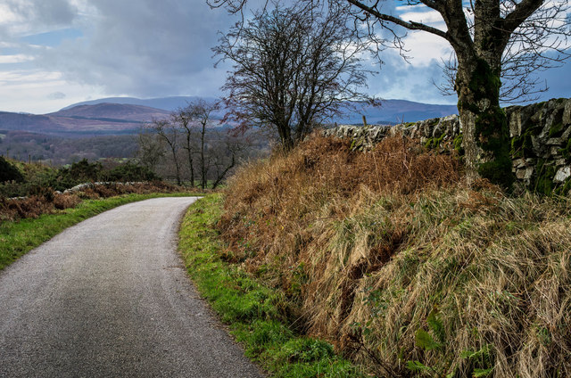
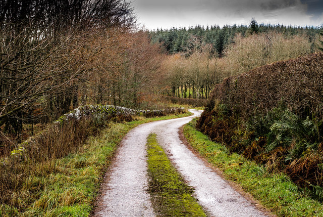
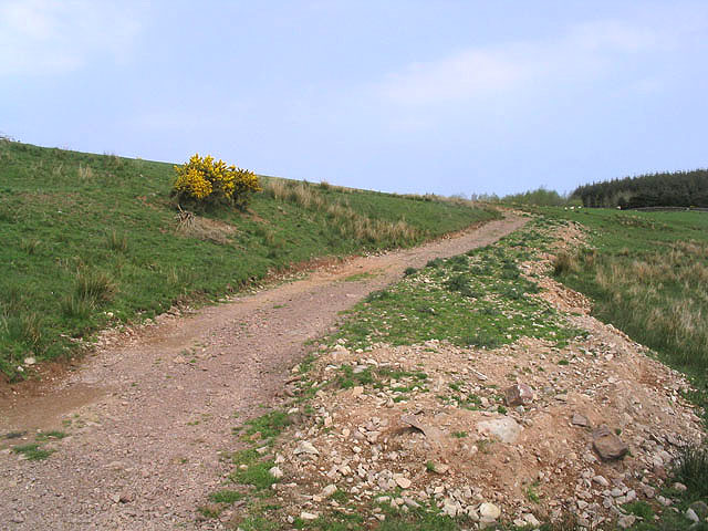
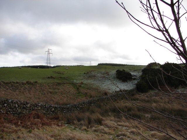
Traversing through Tintum Wood, visitors will find a network of well-maintained walking trails that meander through the forest. These paths offer breathtaking views of the surrounding countryside, from rolling hills to picturesque valleys. There are also designated picnic areas where visitors can pause and take in the tranquility of their surroundings.

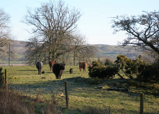
The wood is home to a variety of wildlife, including deer, foxes, and a wide range of bird species. Nature enthusiasts can spot woodland birds such as woodpeckers, tits, and finches, as well as raptors soaring above the treetops.

Tintum Wood is a popular destination for both locals and tourists seeking a peaceful retreat. Its natural beauty and serene atmosphere make it an ideal place for leisurely walks, wildlife observation, and simply reconnecting with nature. With its accessibility and stunning surroundings, Tintum Wood is a gem in the heart of Kirkcudbrightshire.

If you have any feedback on the listing, please let us know in the comments section below.
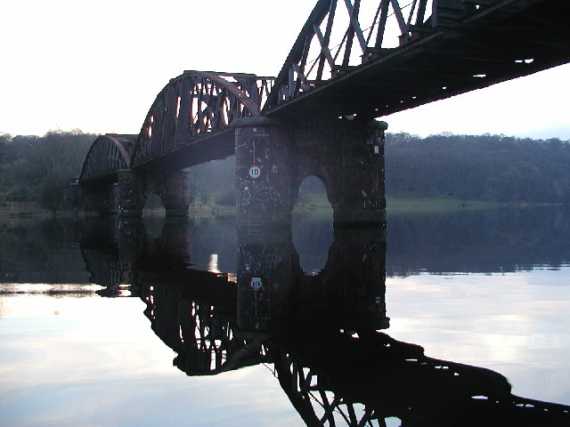
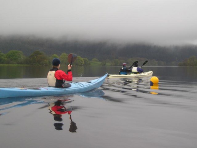
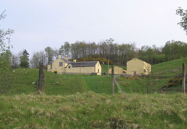
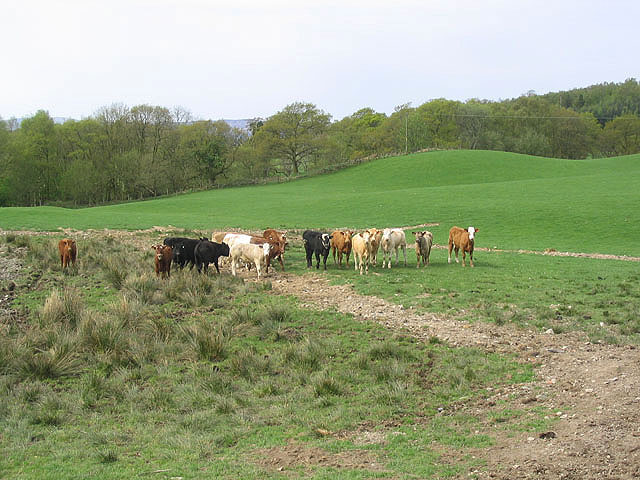
Tintum Wood Images

Images are sourced within 2km of 55.011476/-4.0377957 or Grid Reference NX6970. Thanks to Geograph Open Source API. All images are credited.

Rough grazing north of Parton Rough grazing land in the hills above Parton.
Rough grazing north of Parton
Rough grazing land in the hills above Parton.
Access bridge to fields An farm access bridge over a disused railway track near Parton.
Access bridge to fields
An farm access bridge over a disused railway track near Parton.
Nether Laggan from  the north
Nether Laggan from the north
Nether Laggan
Nether Laggan
Diamonds Laggan pond
The road to Parton A downhill to Parton with the Glenkens beyond
The road to Parton
A downhill to Parton with the Glenkens beyond
Below Rumples Hill
Below Rumples Hill
Access track In a field east of Crow Hill.
Access track
In a field east of Crow Hill.
Diamonds Laggan Farm
View SE toward Glengunnoch Hill View from single track Parton-Knockvennie road east of Fominoch Wood. Sheep craze on the NW shoulder of Glengunnoch Hill Woods (just visible over rise). Overnight February snow is retreating into the shaded corners at noon.
View SE toward Glengunnoch Hill
View from single track Parton-Knockvennie road east of Fominoch Wood. Sheep craze on the NW shoulder of Glengunnoch Hill Woods (just visible over rise). Overnight February snow is retreating into the shaded corners at noon.
Craichie Glen A February view from the Barwhillanty - Diamonds Laggan lane of the Craichie Burn running down Craichie Glen on its way to join Loch Ken at Parton Mill.
Craichie Glen
A February view from the Barwhillanty - Diamonds Laggan lane of the Craichie Burn running down Craichie Glen on its way to join Loch Ken at Parton Mill.
Parton The village of Parton.  The building with the clock tower is a self catering cottage.  In the garden of one of the cottages further on is a communal 8 seater privy (now unused)
Parton
The village of Parton. The building with the clock tower is a self catering cottage. In the garden of one of the cottages further on is a communal 8 seater privy (now unused)
Loch Ken Viaduct Former railway viaduct, now (sadly) in private hands and closed to walkers and cyclists.
Loch Ken Viaduct
Former railway viaduct, now (sadly) in private hands and closed to walkers and cyclists.
A group of kayakers paddling north on the Loch
Parton Privy Communal toilet block, for the row of eight cottages at Parton.  It is no longer used today for its original purpose.  One of the cubicals has been preserved.
Parton Privy
Communal toilet block, for the row of eight cottages at Parton. It is no longer used today for its original purpose. One of the cubicals has been preserved.
Beef Cattle at Duchrae Mains Cattle in the morning sunshine on a crisp January morning.
Beef Cattle at Duchrae Mains
Cattle in the morning sunshine on a crisp January morning.
Glenlaggan Buildings on Glenlaggan Park where there are lodges to buy or rent and caravan berths with spectacular views to Loch Ken and Galloway Forest Park.
Glenlaggan
Buildings on Glenlaggan Park where there are lodges to buy or rent and caravan berths with spectacular views to Loch Ken and Galloway Forest Park.
Cattle field Livestock viewed from a minor road at Fominoch.
Cattle field
Livestock viewed from a minor road at Fominoch.
Show me another place!

Tintum Wood is located at Grid Ref: NX6970 (Lat: 55.011476, Lng: -4.0377957)

Unitary Authority: Dumfries and Galloway

Police Authority: Dumfries and Galloway

What 3 Words

///mission.faces.redeemed. Near Castle Douglas, Dumfries & Galloway

Related Wikis

Parton, Dumfries and Galloway

Parton is a hamlet situated on the banks of the River Dee in the historical county of Kirkcudbrightshire, Dumfries and Galloway, Scotland. == Notable... ==

Parton railway station (Portpatrick and Wigtownshire Joint Railway)

Parton railway station served the hamlet of Parton, Dumfries and Galloway, Scotland, from 1861 to 1965 on the Portpatrick and Wigtownshire Joint Railway...

Loch Ken

Loch Ken is a 9 miles (14 km) long freshwater loch in the historic county of Kirkcudbrightshire in Dumfries and Galloway, Scotland. It lies in the Glenkens...

Airds of Kells

Airds of Kells is a farm and small estate in the historical county of Kirkcudbrightshire in the parish of Kells, Dumfries and Galloway, Scotland. The...

Kirkcudbrightshire

Kirkcudbrightshire ( kur-KOO-brish-ər, -⁠eer; Scots: [kərˈku(d)brəʃər]), or the County of Kirkcudbright or the Stewartry of Kirkcudbright is one of the...

New Galloway railway station

New Galloway railway station served the town of New Galloway in Dumfries and Galloway, Scotland, from 1861 to 1965 on the Portpatrick and Wigtownshire...

Crossmichael Parish Church

Crossmichael Parish Church is an ecclesiastical building in Crossmichael, Dumfries and Galloway, Scotland. It lies on a knoll, which was probably an ancient...

Crossmichael railway station

Crossmichael railway station served the village of Crossmichael, Kirkcudbrightshire, Scotland, from 1861 to 1965 on the Portpatrick and Wigtownshire Joint...

Nearby Amenities

Located within 500m of 55.011476,-4.0377957
Bus Stop
Village
Naptan AtcoCode: 680000076111
Naptan Bearing: NW
Naptan CommonName: Village
Naptan Indicator: opp Road End
Naptan Landmark: Church
Naptan NaptanCode: 34235924
Naptan Notes: none
Naptan Street: Main Street
Naptan Verified: no
Source: naptan_import
Lat/Long: 55.0075431/-4.0410506
Bus Stop
Village
Naptan AtcoCode: 680000076222
Naptan Bearing: SE
Naptan CommonName: Village
Naptan Indicator: opp Cross
Naptan Landmark: Cross
Naptan NaptanCode: 34235923
Naptan Notes: none
Naptan Street: Main Street
Naptan Verified: no
Source: naptan_import
Lat/Long: 55.0076529/-4.0408309
White Hill
Ele: 110
Natural: peak
Lat/Long: 55.0095094/-4.0309952
Parton
Is In: UK ,Scotland,Kirkcudbrightshire
Place: village
Lat/Long: 55.0081545/-4.0418836
Post Box
Operator: Royal Mail
Post Box Mounting: pier
Post Box Type: lamp
Ref: DG7 31
Royal Cypher: scottish_crown
Source: survey
Lat/Long: 55.0080733/-4.0413102
Parton
Place: hamlet
Lat/Long: 55.0078633/-4.0387023
Power: pole
Lat/Long: 55.0086256/-4.031982
Man Made: mast
Lat/Long: 55.0085994/-4.0337589
Power: pole
Lat/Long: 55.008524/-4.0337323
Power: pole
Lat/Long: 55.0087427/-4.035808
Power: pole
Lat/Long: 55.0089729/-4.035369
Power: pole
Lat/Long: 55.0092308/-4.0348117
Power: pole
Lat/Long: 55.0087465/-4.0363863
Power: pole
Lat/Long: 55.0088777/-4.0370022
Power: pole
Lat/Long: 55.0089998/-4.0380589
Power: pole
Lat/Long: 55.0088312/-4.0395414
Power: pole
Lat/Long: 55.0087425/-4.0405373
Power: pole
Lat/Long: 55.0086059/-4.042111
Power: pole
Lat/Long: 55.0089198/-4.0436041
Power: pole
Lat/Long: 55.008258/-4.0364014
Power: pole
Lat/Long: 55.0076939/-4.0371067
Power: pole
Lat/Long: 55.0071347/-4.037812
Power: pole
Lat/Long: 55.0097394/-4.0346466
Power: pole
Lat/Long: 55.0102035/-4.0348866
Power: pole
Lat/Long: 55.01101/-4.0352839
Information: board
Tourism: information
Lat/Long: 55.0080981/-4.0413022
Defibrillator
Defibrillator Location: outside Parton Village Hall
Emergency: defibrillator
Indoor: no
Lat/Long: 55.0081899/-4.0413728
The data included in this document is from www.openstreetmap.org. The data is made available under ODbL.

Have you been to Tintum Wood?

Leave your review of Tintum Wood below (or comments, questions and feedback).