Boreland Motte

Heritage Site in Kirkcudbrightshire

Scotland

Boreland Motte

Rough grazing north of Parton Rough grazing land in the hills above Parton.
Rough grazing north of Parton Credit: Peter Mackenzie

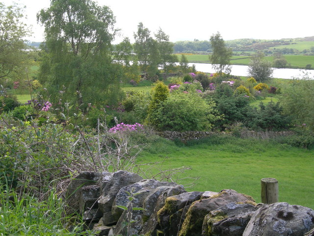
Boreland Motte, located in Kirkcudbrightshire, Scotland, is a historically significant heritage site that dates back to the medieval period. The motte, also known as a castle mound, is situated on a gently sloping hill overlooking the surrounding countryside.

This site was originally constructed in the early 13th century as a defensive structure, serving as a stronghold for the local lords or landowners. The motte consists of a large earthen mound, approximately 6 meters in height, with a flat circular top. The top of the motte would have likely housed a wooden tower or keep, providing a vantage point and a strategic position for surveillance and defense.

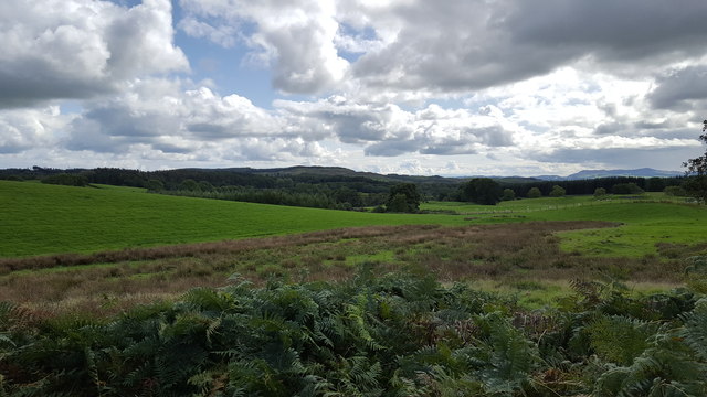
Boreland Motte's location offers commanding views of the surrounding landscape, including nearby rivers and valleys, making it an ideal defensive position during its time of use. The strategic importance of this site is further enhanced by its proximity to other significant medieval landmarks in the area.

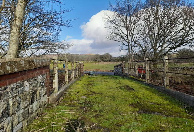
Over the centuries, Boreland Motte has experienced various periods of occupation, alteration, and abandonment. Today, it stands as an important historical site, providing insight into the architectural and defensive practices of the medieval period. The motte is surrounded by a protective fence to ensure its preservation and allow visitors to explore the site safely.

Visitors to Boreland Motte can witness the impressive remnants of this medieval structure, imagine the lives of those who inhabited it, and appreciate its historical significance in the region. The site serves as a valuable educational resource, offering a glimpse into Scotland's medieval past and its architectural heritage.

If you have any feedback on the listing, please let us know in the comments section below.

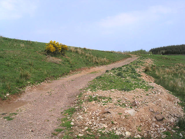
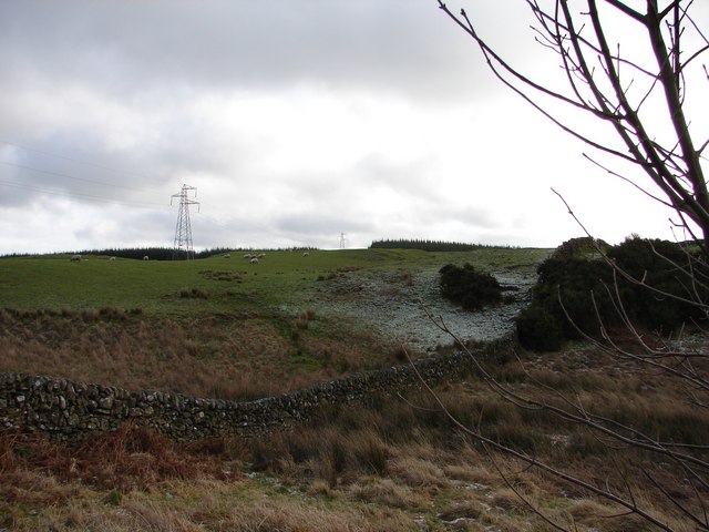
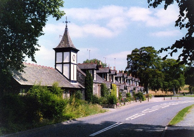
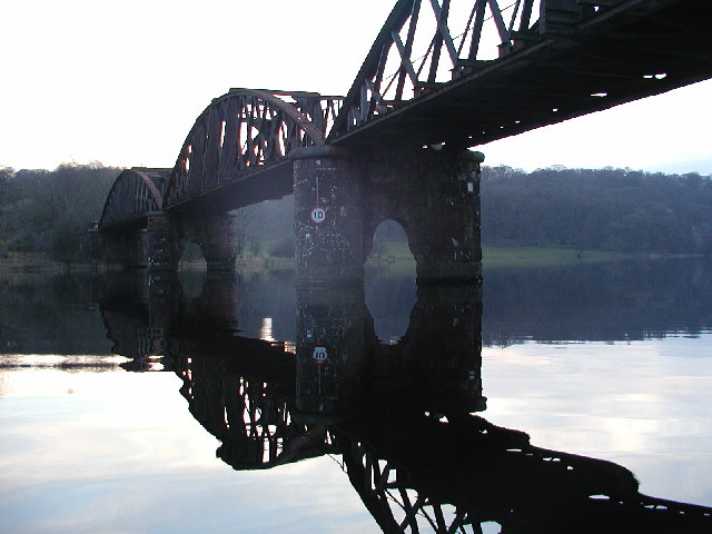
Boreland Motte Images

Images are sourced within 2km of 55.012/-4.042 or Grid Reference NX6970. Thanks to Geograph Open Source API. All images are credited.

Rough grazing north of Parton Rough grazing land in the hills above Parton.
Rough grazing north of Parton
Rough grazing land in the hills above Parton.
Access bridge to fields An farm access bridge over a disused railway track near Parton.
Access bridge to fields
An farm access bridge over a disused railway track near Parton.
The road to Parton A downhill to Parton with the Glenkens beyond
The road to Parton
A downhill to Parton with the Glenkens beyond
Below Rumples Hill
Below Rumples Hill
Access track In a field east of Crow Hill.
Access track
In a field east of Crow Hill.
View SE toward Glengunnoch Hill View from single track Parton-Knockvennie road east of Fominoch Wood. Sheep craze on the NW shoulder of Glengunnoch Hill Woods (just visible over rise). Overnight February snow is retreating into the shaded corners at noon.
View SE toward Glengunnoch Hill
View from single track Parton-Knockvennie road east of Fominoch Wood. Sheep craze on the NW shoulder of Glengunnoch Hill Woods (just visible over rise). Overnight February snow is retreating into the shaded corners at noon.
Parton The village of Parton.  The building with the clock tower is a self catering cottage.  In the garden of one of the cottages further on is a communal 8 seater privy (now unused)
Parton
The village of Parton. The building with the clock tower is a self catering cottage. In the garden of one of the cottages further on is a communal 8 seater privy (now unused)
Loch Ken Viaduct Former railway viaduct, now (sadly) in private hands and closed to walkers and cyclists.
Loch Ken Viaduct
Former railway viaduct, now (sadly) in private hands and closed to walkers and cyclists.
A group of kayakers paddling north on the Loch
Parton Privy Communal toilet block, for the row of eight cottages at Parton.  It is no longer used today for its original purpose.  One of the cubicals has been preserved.
Parton Privy
Communal toilet block, for the row of eight cottages at Parton. It is no longer used today for its original purpose. One of the cubicals has been preserved.
Glenlaggan Buildings on Glenlaggan Park where there are lodges to buy or rent and caravan berths with spectacular views to Loch Ken and Galloway Forest Park.
Glenlaggan
Buildings on Glenlaggan Park where there are lodges to buy or rent and caravan berths with spectacular views to Loch Ken and Galloway Forest Park.
Cattle field Livestock viewed from a minor road at Fominoch.
Cattle field
Livestock viewed from a minor road at Fominoch.
Farmland near Overlaggan
Farmland, cottage gardens & Loch Ken
Loch Ken Taken soon after dawn after a frosty night in late May!
Loch Ken
Taken soon after dawn after a frosty night in late May!
Road winding down to the Cottages at Parton
Glenlaggan - Loch Ken View NW up Loch Ken with Rhinns of Kells in distance. Photographer standing on W side of A713 at Glenlaggan.
Glenlaggan - Loch Ken
View NW up Loch Ken with Rhinns of Kells in distance. Photographer standing on W side of A713 at Glenlaggan.
Parton House Stables The (converted) stable block in the estate of Parton House, the house itself was demolished in 1964.
Parton House Stables
The (converted) stable block in the estate of Parton House, the house itself was demolished in 1964.
Show me another place!

Boreland Motte is located at Grid Ref: NX6970 (Lat: 55.012, Lng: -4.042)

Unitary Authority: Dumfries and Galloway

Police Authority: Dumfries and Galloway

What 3 Words

///drones.mows.mailing. Near Castle Douglas, Dumfries & Galloway

Related Wikis

Parton, Dumfries and Galloway

Parton is a hamlet situated on the banks of the River Dee in the historical county of Kirkcudbrightshire, Dumfries and Galloway, Scotland. == Notable... ==

Parton railway station (Portpatrick and Wigtownshire Joint Railway)

Parton railway station served the hamlet of Parton, Dumfries and Galloway, Scotland, from 1861 to 1965 on the Portpatrick and Wigtownshire Joint Railway...
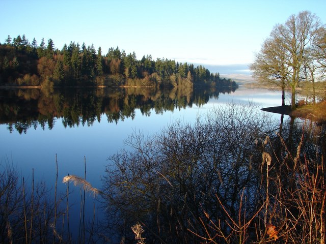
Loch Ken

Loch Ken is a 9 miles (14 km) long freshwater loch in the historic county of Kirkcudbrightshire in Dumfries and Galloway, Scotland. It lies in the Glenkens...

Airds of Kells

Airds of Kells is a farm and small estate in the historical county of Kirkcudbrightshire in the parish of Kells, Dumfries and Galloway, Scotland. The...

Kirkcudbrightshire

Kirkcudbrightshire ( kur-KOO-brish-ər, -⁠eer; Scots: [kərˈku(d)brəʃər]), or the County of Kirkcudbright or the Stewartry of Kirkcudbright is one of the...

New Galloway railway station

New Galloway railway station served the town of New Galloway in Dumfries and Galloway, Scotland, from 1861 to 1965 on the Portpatrick and Wigtownshire...

Crossmichael Parish Church

Crossmichael Parish Church is an ecclesiastical building in Crossmichael, Dumfries and Galloway, Scotland. It lies on a knoll, which was probably an ancient...

Crossmichael railway station

Crossmichael railway station served the village of Crossmichael, Kirkcudbrightshire, Scotland, from 1861 to 1965 on the Portpatrick and Wigtownshire Joint...

Nearby Amenities

Located within 500m of 55.012,-4.042
Bus Stop
Village
Naptan AtcoCode: 680000076111
Naptan Bearing: NW
Naptan CommonName: Village
Naptan Indicator: opp Road End
Naptan Landmark: Church
Naptan NaptanCode: 34235924
Naptan Notes: none
Naptan Street: Main Street
Naptan Verified: no
Source: naptan_import
Lat/Long: 55.0075431/-4.0410506
Bus Stop
Village
Naptan AtcoCode: 680000076222
Naptan Bearing: SE
Naptan CommonName: Village
Naptan Indicator: opp Cross
Naptan Landmark: Cross
Naptan NaptanCode: 34235923
Naptan Notes: none
Naptan Street: Main Street
Naptan Verified: no
Source: naptan_import
Lat/Long: 55.0076529/-4.0408309
Parton
Is In: UK ,Scotland,Kirkcudbrightshire
Place: village
Lat/Long: 55.0081545/-4.0418836
Post Box
Operator: Royal Mail
Post Box Mounting: pier
Post Box Type: lamp
Ref: DG7 31
Royal Cypher: scottish_crown
Source: survey
Lat/Long: 55.0080733/-4.0413102
Power: pole
Lat/Long: 55.0088777/-4.0370022
Power: pole
Lat/Long: 55.0089998/-4.0380589
Power: pole
Lat/Long: 55.0088312/-4.0395414
Power: pole
Lat/Long: 55.0087425/-4.0405373
Power: pole
Lat/Long: 55.0086059/-4.042111
Power: pole
Lat/Long: 55.0089198/-4.0436041
Power: pole
Lat/Long: 55.0091631/-4.0446506
Power: pole
Lat/Long: 55.0087696/-4.044844
Power: pole
Lat/Long: 55.009539/-4.0465807
Power: pole
Lat/Long: 55.0099313/-4.048423
Power: pole
Lat/Long: 55.0080764/-4.0452073
Power: pole
Lat/Long: 55.0092643/-4.0466689
Power: pole
Lat/Long: 55.0102035/-4.0348866
Power: pole
Lat/Long: 55.01101/-4.0352839
Information: board
Tourism: information
Lat/Long: 55.0080981/-4.0413022
Defibrillator
Defibrillator Location: outside Parton Village Hall
Emergency: defibrillator
Indoor: no
Lat/Long: 55.0081899/-4.0413728
The data included in this document is from www.openstreetmap.org. The data is made available under ODbL.

Have you been to Boreland Motte?

Leave your review of Boreland Motte below (or comments, questions and feedback).