St Fredericks Wood
Wood, Forest in Ross-shire
Scotland
St Fredericks Wood
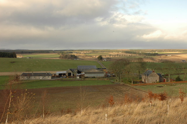
St Fredericks Wood is a picturesque woodland located in Ross-shire, Scotland. Covering an area of approximately 100 acres, this enchanting forest is renowned for its natural beauty and diverse flora and fauna. The wood is situated in close proximity to the village of Ross, making it easily accessible for visitors.
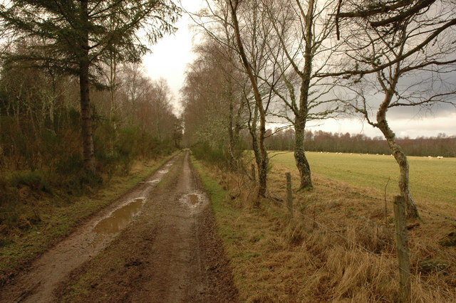
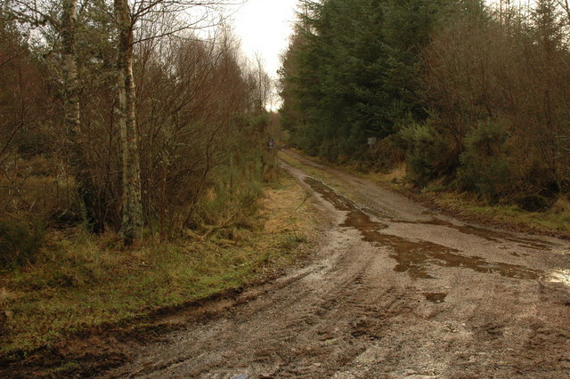
Upon entering St Fredericks Wood, visitors are greeted by a dense canopy of towering trees that create a serene and tranquil atmosphere. The wood is predominantly composed of native species such as oak, birch, and rowan, which provide a rich and vibrant display of colors throughout the changing seasons.
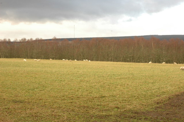
Numerous walking trails wind their way through the forest, offering visitors the opportunity to explore its hidden treasures. As they wander through the woodland, visitors may encounter various wildlife species, including red deer, roe deer, and squirrels. Birdwatchers will also be delighted by the presence of woodland birds such as woodpeckers, owls, and thrushes.
St Fredericks Wood is not only a haven for nature enthusiasts but also a valuable resource for the local community. It serves as an important educational site, providing opportunities for schools and organizations to learn about the importance of conservation and sustainable forestry practices.
The wood is open to the public year-round, allowing visitors to enjoy its natural beauty in every season. Whether it be a leisurely stroll, a picnic by the river that flows through the woodland, or simply immersing oneself in the peaceful ambiance, St Fredericks Wood offers a truly unforgettable experience for all who visit.
If you have any feedback on the listing, please let us know in the comments section below.
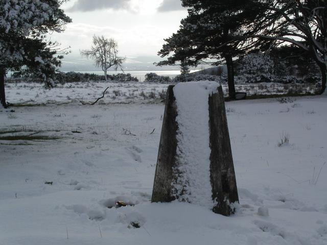
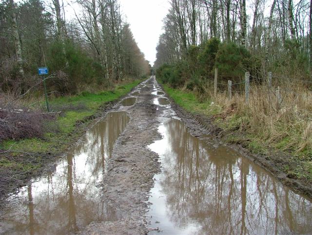
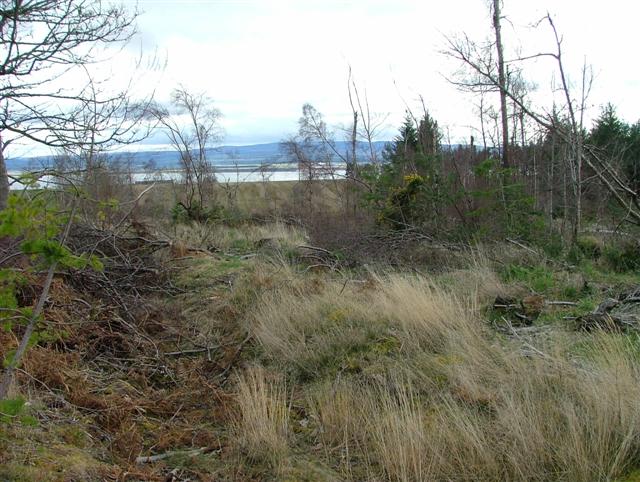
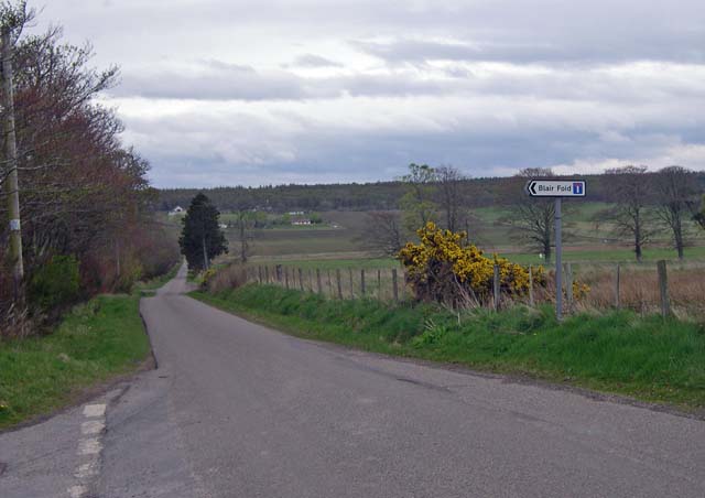
St Fredericks Wood Images
Images are sourced within 2km of 57.58815/-4.1795725 or Grid Reference NH6957. Thanks to Geograph Open Source API. All images are credited.


St Fredericks Wood is located at Grid Ref: NH6957 (Lat: 57.58815, Lng: -4.1795725)
Unitary Authority: Highland
Police Authority: Highlands and Islands
What 3 Words
///condense.depravity.apart. Near Fortrose, Highland
Nearby Locations
Related Wikis

Killen, Highland
Killen is a small remote rural hamlet, located 2 miles northwest of Avoch and Fortrose, in the Black Isle, Ross-shire, Scottish Highlands and is in the...

Raddery
Raddery (Scottish Gaelic: Radharaidh) is a small village, which is located with the former estate of Raddery House, in the Black Isle in Ross-shire, Scottish...

Avoch
Avoch ( OKH; from the Scottish Gaelic: Abhach – meaning mouth of the stream) is a harbour-village located on the south-east coast of the Black Isle, on...

Avoch railway station
Avoch railway station was a station on the single track branch of the Highland Railway, in north east Scotland. The line connected villages in The Black...
Nearby Amenities
Located within 500m of 57.58815,-4.1795725Have you been to St Fredericks Wood?
Leave your review of St Fredericks Wood below (or comments, questions and feedback).