Spittalton Wood

Wood, Forest in Stirlingshire

Scotland

Spittalton Wood

Unnamed reservoir A small reservoir formed by damming the two Blackspouts.
Unnamed reservoir Credit: Stephen Coyne

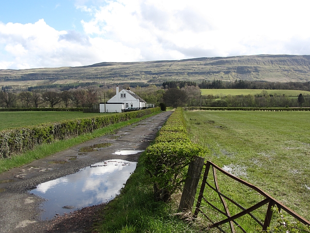
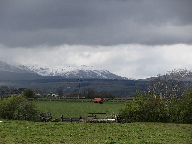
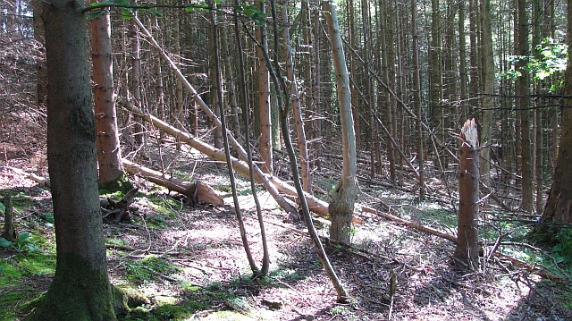
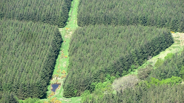
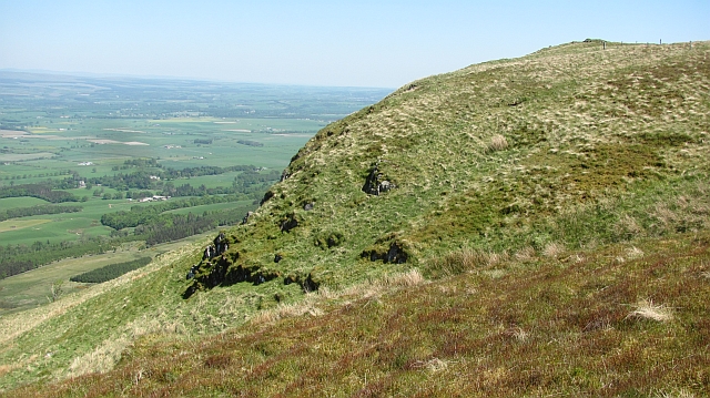
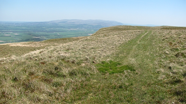
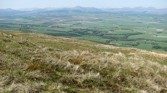
Spittalton Wood is a picturesque woodland located in Stirlingshire, Scotland. Covering an area of approximately 150 acres, it is a popular destination for nature enthusiasts, hikers, and wildlife photographers.

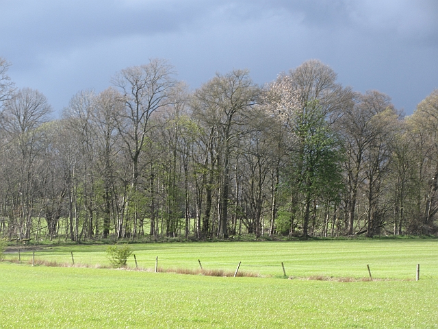
The wood is primarily composed of native broadleaf trees such as oak, birch, and beech, creating a diverse and vibrant ecosystem. The canopy provides a protective shelter for a variety of flora and fauna, including bluebells, wood anemones, and ferns that thrive in the shaded undergrowth.

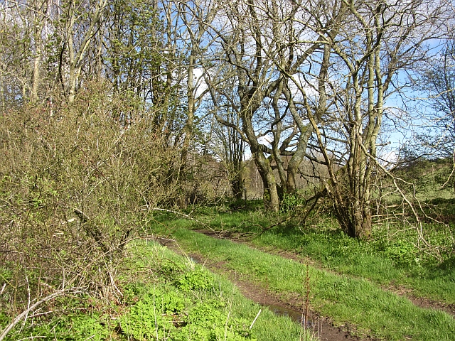
Tranquil pathways wind their way through the wood, inviting visitors to explore its natural beauty. As they meander through the trees, visitors may encounter a range of wildlife, including red squirrels, roe deer, and a plethora of bird species such as woodpeckers and owls. The wood is especially renowned for its population of red kites, majestic birds of prey that can often be seen soaring overhead.

Spittalton Wood also holds historical significance, with remnants of ancient settlements and structures scattered throughout. The wood was once part of a larger estate and has been managed for centuries, ensuring the preservation of its natural heritage.

Visitors to Spittalton Wood can enjoy a peaceful retreat from the hustle and bustle of everyday life, immersing themselves in the serenity of nature. Whether it's a leisurely stroll, a bird-watching expedition, or simply admiring the vibrant colors of the changing seasons, this woodland offers a tranquil escape for all who venture within its boundaries.

If you have any feedback on the listing, please let us know in the comments section below.

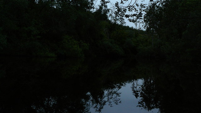
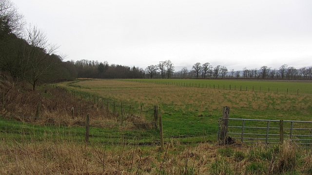
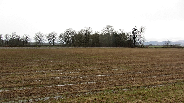
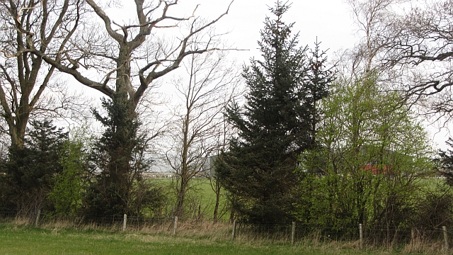
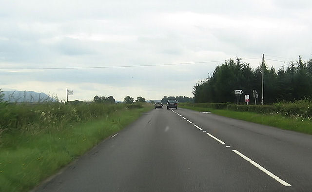
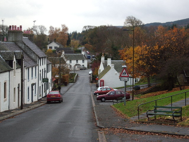
Spittalton Wood Images

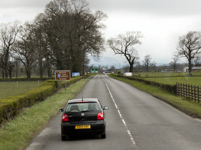
Images are sourced within 2km of 56.119625/-4.121157 or Grid Reference NS6893. Thanks to Geograph Open Source API. All images are credited.

Unnamed reservoir A small reservoir formed by damming the two Blackspouts.
Unnamed reservoir
A small reservoir formed by damming the two Blackspouts.
Foot of the steps Where the carse meets the first steep section of the Gargunnock Hills. The scarp is stepped with successive lava flows.
Foot of the steps
Where the carse meets the first steep section of the Gargunnock Hills. The scarp is stepped with successive lava flows.
Stubble, Gargunnock The field is a bit wet after a day of rain. This is the flat carse land beside the Forth.
Stubble, Gargunnock
The field is a bit wet after a day of rain. This is the flat carse land beside the Forth.
Watercourse, Boquhan A burn on the Forth floodplain has wooded banks. The surrounding fields are grass.
Watercourse, Boquhan
A burn on the Forth floodplain has wooded banks. The surrounding fields are grass.
Carse near Gargunnock Flat land contrasts with the steep scarp of the basalt Gargunnock Hills.
Carse near Gargunnock
Flat land contrasts with the steep scarp of the basalt Gargunnock Hills.
Woodland, Boquhan A strip of woodland between grass fields. There is some dairy farming here.
Woodland, Boquhan
A strip of woodland between grass fields. There is some dairy farming here.
Carse near Birkenwood The flood plain of the Forth, once covered in bog is now productive farmland. There had been a heavy snowfall during the previous 12 hours on the hills.
Carse near Birkenwood
The flood plain of the Forth, once covered in bog is now productive farmland. There had been a heavy snowfall during the previous 12 hours on the hills.
Bain's Bog Wood A long wood on the edge of the carse land.
Bain's Bog Wood
A long wood on the edge of the carse land.
A811, Near Kippen
A811, Near Kippen
Bogle Glen Wood A small conifer plantation.
Bogle Glen Wood
A small conifer plantation.
Blair Moss Wood Conifer plantation beneath the Gargunnock Hills escarpment.
Blair Moss Wood
Conifer plantation beneath the Gargunnock Hills escarpment.
Bog, Carleatheran Peat bogs on the Gargunnock Hills plateau with the Earlsburn wind farm in the background.
Bog, Carleatheran
Peat bogs on the Gargunnock Hills plateau with the Earlsburn wind farm in the background.
Trap landscape, Carleatheran The stepped landscape of successive lava flows on the Gargunnock Hills. Soon to the north the hill falls steeply towards the lowlands around the River Forth.
Trap landscape, Carleatheran
The stepped landscape of successive lava flows on the Gargunnock Hills. Soon to the north the hill falls steeply towards the lowlands around the River Forth.
Quadbike track on Carleatheran Grassy moorland at the top of the Gargunnock Hills scarp.
Quadbike track on Carleatheran
Grassy moorland at the top of the Gargunnock Hills scarp.
Above Black Craig Grassy moorland on the Gargunnock Hills with fine views of the Forth plain beneath the steep scarp.  Quite a few Highland Perthshire hills are clearly visible from Ben Venue to Ben Vorlich.
Above Black Craig
Grassy moorland on the Gargunnock Hills with fine views of the Forth plain beneath the steep scarp. Quite a few Highland Perthshire hills are clearly visible from Ben Venue to Ben Vorlich.
A811 towards Inch Of Leckie turning
Glinns Road turning off A811
Gargunnock junction with A811 Junction with A811. The road to Gargunnock (behind photographer), and farm road to Nether Carse.
Gargunnock junction with A811
Junction with A811. The road to Gargunnock (behind photographer), and farm road to Nether Carse.
Show me another place!

Spittalton Wood is located at Grid Ref: NS6893 (Lat: 56.119625, Lng: -4.121157)

Unitary Authority: Stirling

Police Authority: Forth Valley

What 3 Words

///splat.handyman.firmly. Near Kippen, Stirling

Related Wikis

Leckie Broch

Leckie Broch is an iron-age broch located in Stirlingshire, Scotland. == Location == Just above the confluence of two streams with deep gulleys on the...

Gargunnock

Gargunnock is a small village in the Stirling council area with an active community trust, seven miles (eleven kilometres) west of Stirling, in Scotland...

Stirling (UK Parliament constituency)

Stirling is a county constituency of the House of Commons of the Parliament of the United Kingdom. It elects one Member of Parliament (MP) by the first...

Kippen railway station

Kippen railway station co-served the village of Kippen, Stirling, Scotland, from 1856 to 1934 on the Forth and Clyde Junction Railway. == History == The...

Nearby Amenities

Located within 500m of 56.119625,-4.121157
Power: pole
Lat/Long: 56.1224685/-4.1269634
Power: pole
Lat/Long: 56.1222937/-4.127637
Power: pole
Lat/Long: 56.1236208/-4.1211369
Power: pole
Lat/Long: 56.1231451/-4.121846
Power: pole
Lat/Long: 56.1226624/-4.1225885
Power: pole
Lat/Long: 56.1222018/-4.1232579
The data included in this document is from www.openstreetmap.org. The data is made available under ODbL.

Have you been to Spittalton Wood?

Leave your review of Spittalton Wood below (or comments, questions and feedback).