Loch Logan

Lake, Pool, Pond, Freshwater Marsh in Stirlingshire

Scotland

Loch Logan

Unnamed reservoir A small reservoir formed by damming the two Blackspouts.
Unnamed reservoir Credit: Stephen Coyne

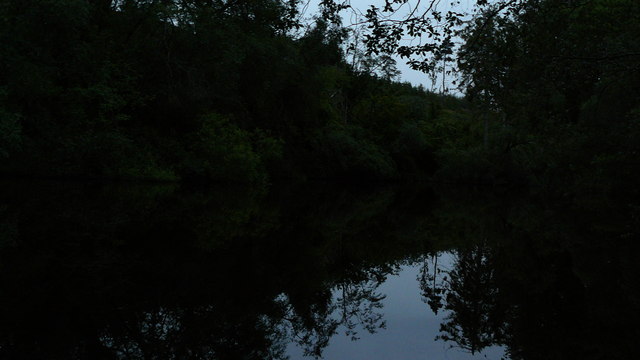
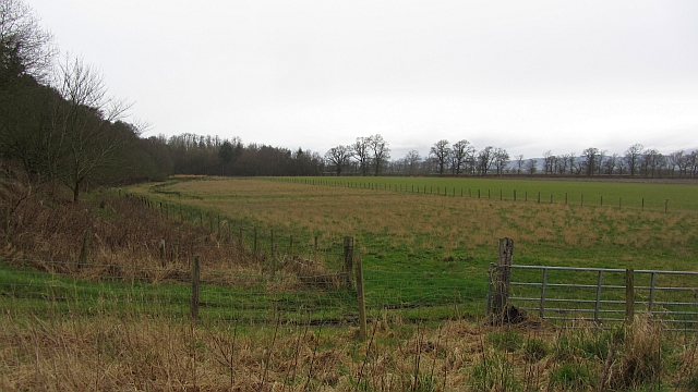
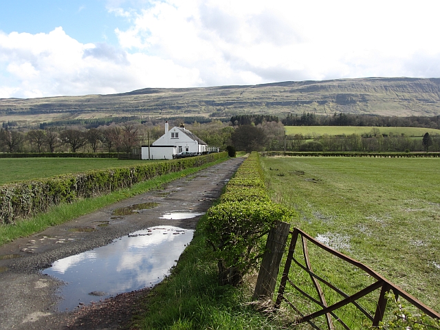
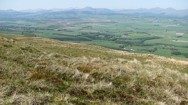
Loch Logan is a freshwater loch situated in the picturesque region of Stirlingshire, Scotland. The loch, which is also referred to as Logan Reservoir, covers an area of approximately 150 acres and is encircled by lush greenery and rolling hills.

Known for its natural beauty, Loch Logan is a popular destination for outdoor enthusiasts and nature lovers. The tranquil waters of the loch provide the perfect setting for a variety of recreational activities, including fishing, boating, and kayaking. Anglers are particularly drawn to the loch due to its abundant population of brown trout, which attracts both seasoned fishermen and beginners alike.

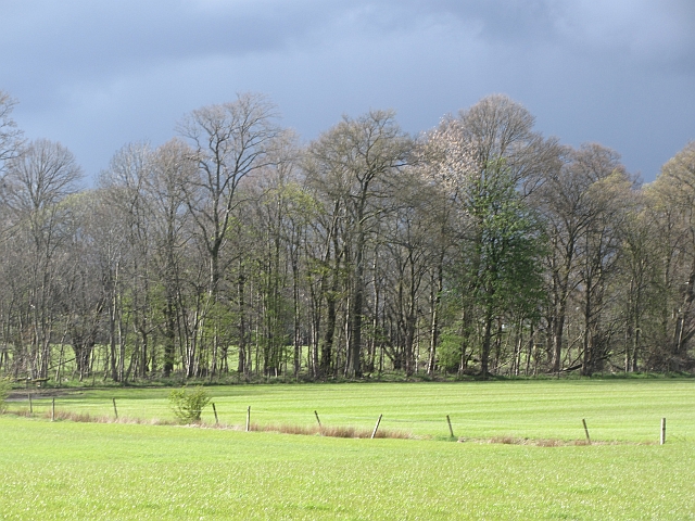
Surrounded by a diverse ecosystem, Loch Logan supports a rich biodiversity. The surrounding area is home to a variety of bird species, making it an ideal spot for birdwatching. Additionally, the loch is fringed with reed beds, providing a habitat for various aquatic plants and wildlife.

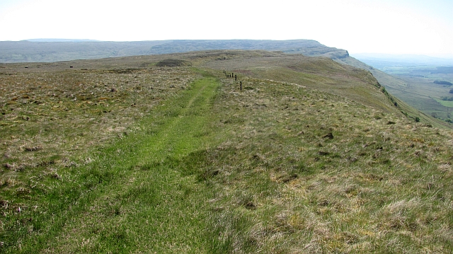
In recent years, efforts have been made to preserve and enhance the natural environment of Loch Logan. This includes the creation of pathways and viewing platforms, allowing visitors to explore and appreciate the surrounding flora and fauna without disturbing the delicate ecosystem.

Overall, Loch Logan offers a serene escape from the bustling city life, providing a haven for both wildlife and visitors alike. Its scenic beauty and diverse range of outdoor activities make it a must-visit destination for those seeking solace and tranquility in the heart of Stirlingshire.

If you have any feedback on the listing, please let us know in the comments section below.
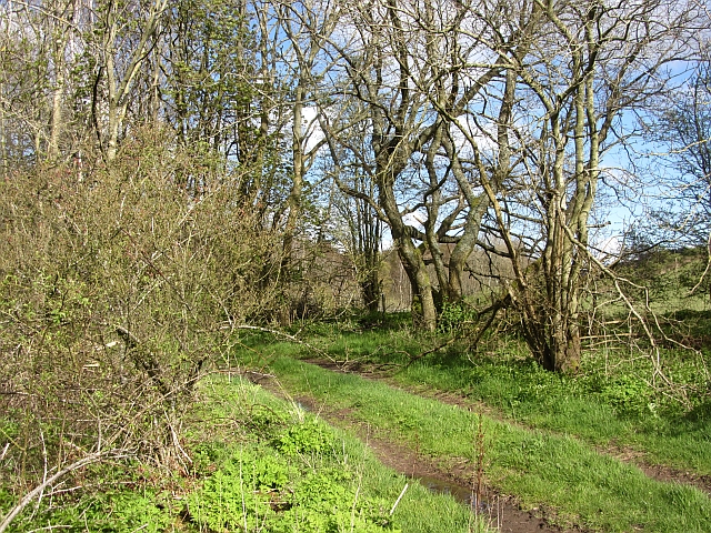
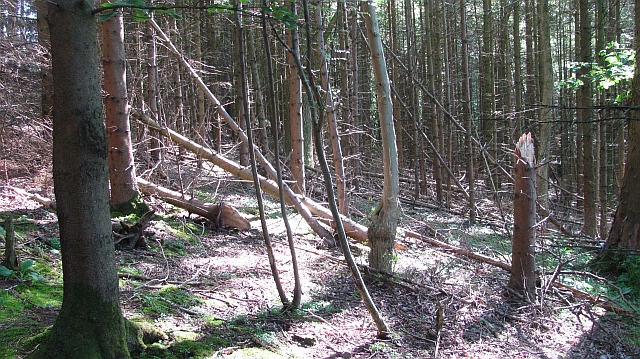
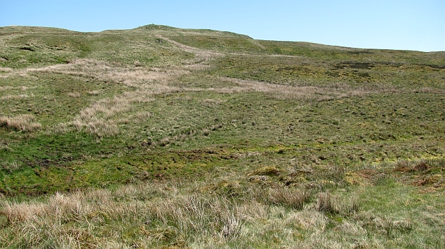
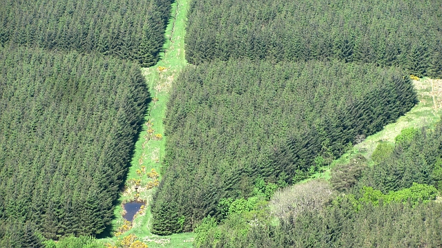
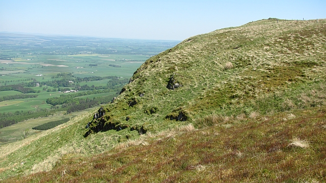
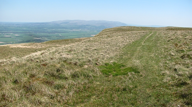
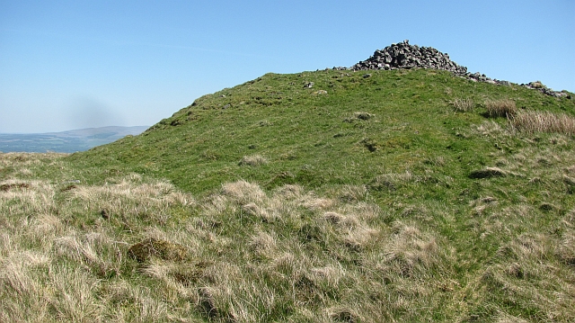
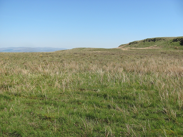
Loch Logan Images

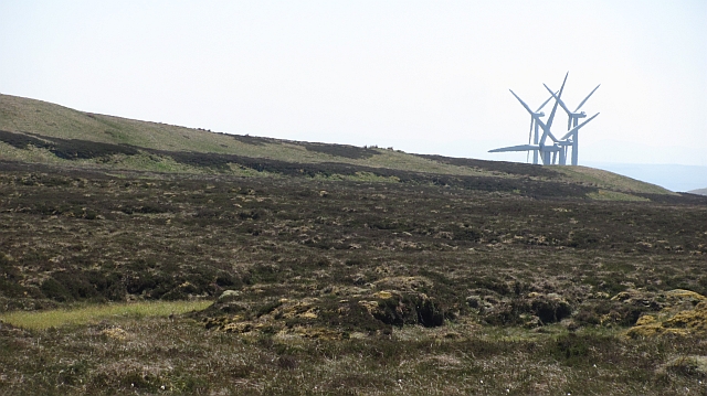
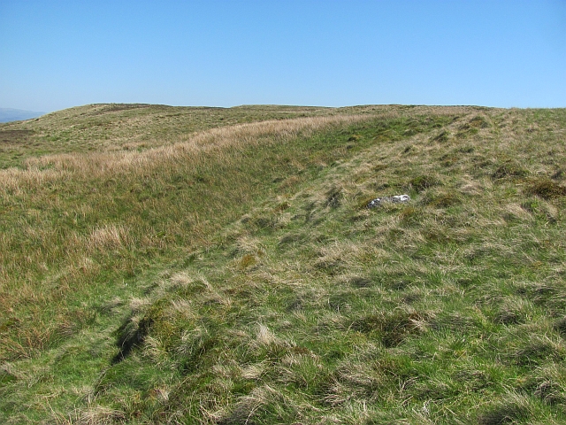
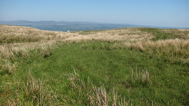
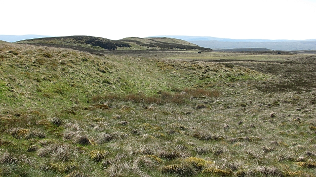
Images are sourced within 2km of 56.114554/-4.1176126 or Grid Reference NS6893. Thanks to Geograph Open Source API. All images are credited.

Unnamed reservoir A small reservoir formed by damming the two Blackspouts.
Unnamed reservoir
A small reservoir formed by damming the two Blackspouts.
Foot of the steps Where the carse meets the first steep section of the Gargunnock Hills. The scarp is stepped with successive lava flows.
Foot of the steps
Where the carse meets the first steep section of the Gargunnock Hills. The scarp is stepped with successive lava flows.
Carse near Gargunnock Flat land contrasts with the steep scarp of the basalt Gargunnock Hills.
Carse near Gargunnock
Flat land contrasts with the steep scarp of the basalt Gargunnock Hills.
Woodland, Boquhan A strip of woodland between grass fields. There is some dairy farming here.
Woodland, Boquhan
A strip of woodland between grass fields. There is some dairy farming here.
Bain's Bog Wood A long wood on the edge of the carse land.
Bain's Bog Wood
A long wood on the edge of the carse land.
Bogle Glen Wood A small conifer plantation.
Bogle Glen Wood
A small conifer plantation.
On the Gargunnock Hills Rough moorland which is managed as a grouse moor even though the heather is outnumbered by the grass. The mapped track is an exaggeration - there is a strip of flattened grass from four wheel drive vehicles and some churned up bog, but nothing to suggest a proper two dashed line track.
On the Gargunnock Hills
Rough moorland which is managed as a grouse moor even though the heather is outnumbered by the grass. The mapped track is an exaggeration - there is a strip of flattened grass from four wheel drive vehicles and some churned up bog, but nothing to suggest a proper two dashed line track.
Blair Moss Wood Conifer plantation beneath the Gargunnock Hills escarpment.
Blair Moss Wood
Conifer plantation beneath the Gargunnock Hills escarpment.
Bog, Carleatheran Peat bogs on the Gargunnock Hills plateau with the Earlsburn wind farm in the background.
Bog, Carleatheran
Peat bogs on the Gargunnock Hills plateau with the Earlsburn wind farm in the background.
On the Gargunnock Hills Grassy moorland on the plateau east of Carleatheran.
On the Gargunnock Hills
Grassy moorland on the plateau east of Carleatheran.
Moorland on the Gargunnock Hills On the edge of the steep scarp above Gargunnock.
Moorland on the Gargunnock Hills
On the edge of the steep scarp above Gargunnock.
Carleatheran Loch Now a bog.
Carleatheran Loch
Now a bog.
Trap landscape, Carleatheran The stepped landscape of successive lava flows on the Gargunnock Hills. Soon to the north the hill falls steeply towards the lowlands around the River Forth.
Trap landscape, Carleatheran
The stepped landscape of successive lava flows on the Gargunnock Hills. Soon to the north the hill falls steeply towards the lowlands around the River Forth.
Quadbike track on Carleatheran Grassy moorland at the top of the Gargunnock Hills scarp.
Quadbike track on Carleatheran
Grassy moorland at the top of the Gargunnock Hills scarp.
Carleatheran summit The cairn at the top of the Gargunnock Hills.  It is uncertain if the grassy mound is a cairn as well. It appears to be made of boulders rather than another step of basalt.
Carleatheran summit
The cairn at the top of the Gargunnock Hills. It is uncertain if the grassy mound is a cairn as well. It appears to be made of boulders rather than another step of basalt.
Gargunnock Hills traps, Tulmore An expanse of flat terrain above the steep Gargunnock Hills scarp. The flatness is the top of a lava flow, now a resistant layer of basalt. The next flow can be seen as a step (hence the term trap) on the right.  (We are told the term "trap" comes from Swedish, but it is of course an English word too.)
Gargunnock Hills traps, Tulmore
An expanse of flat terrain above the steep Gargunnock Hills scarp. The flatness is the top of a lava flow, now a resistant layer of basalt. The next flow can be seen as a step (hence the term trap) on the right. (We are told the term "trap" comes from Swedish, but it is of course an English word too.)
Above Black Craig Grassy moorland on the Gargunnock Hills with fine views of the Forth plain beneath the steep scarp.  Quite a few Highland Perthshire hills are clearly visible from Ben Venue to Ben Vorlich.
Above Black Craig
Grassy moorland on the Gargunnock Hills with fine views of the Forth plain beneath the steep scarp. Quite a few Highland Perthshire hills are clearly visible from Ben Venue to Ben Vorlich.
Path above Standmilane Crags Exaggerated somewhat to road status by the Ordnance Survey, this is a quad bike track of flattened grass with some deep boggy bits which runs the length of the escarpment. The view is towards Stronend above Fintry. Progress off the path is liable to be slow and frustrating, this is rough country.
Path above Standmilane Crags
Exaggerated somewhat to road status by the Ordnance Survey, this is a quad bike track of flattened grass with some deep boggy bits which runs the length of the escarpment. The view is towards Stronend above Fintry. Progress off the path is liable to be slow and frustrating, this is rough country.
Show me another place!

Loch Logan is located at Grid Ref: NS6893 (Lat: 56.114554, Lng: -4.1176126)

Unitary Authority: Stirling

Police Authority: Forth Valley

What 3 Words

///sprawls.blinking.shatters. Near Kippen, Stirling

Related Wikis

Leckie Broch

Leckie Broch is an iron-age broch located in Stirlingshire, Scotland. == Location == Just above the confluence of two streams with deep gulleys on the...

Gargunnock Hills

The Gargunnock Hills are a range of hills west of the city of Stirling, Scotland. They culminate in the peak of Carleatheran, whose 485-metre (1,591 ft...

Stirling (UK Parliament constituency)

Stirling is a county constituency of the House of Commons of the Parliament of the United Kingdom. It elects one Member of Parliament (MP) by the first...
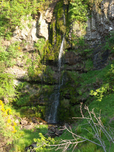
Downie's Loup

Downie's Loup is a waterfall of Scotland located near the village of Gargunnock. == See also == Waterfalls of Scotland == References ==

Nearby Amenities

Located within 500m of 56.114554,-4.1176126
The data included in this document is from www.openstreetmap.org. The data is made available under ODbL.

Have you been to Loch Logan?

Leave your review of Loch Logan below (or comments, questions and feedback).