Burn Plantation
Wood, Forest in Stirlingshire
Scotland
Burn Plantation
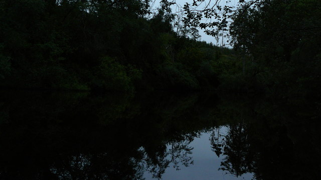
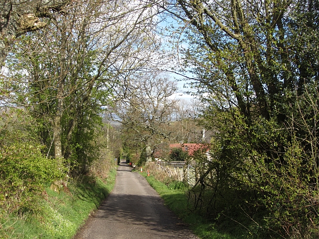
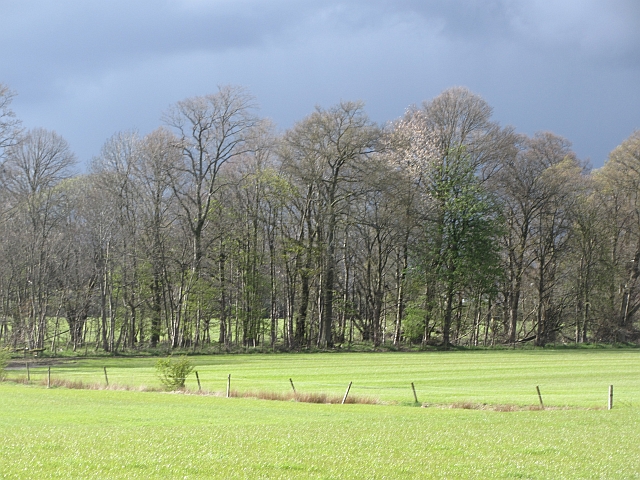
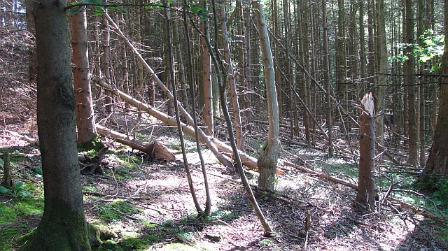
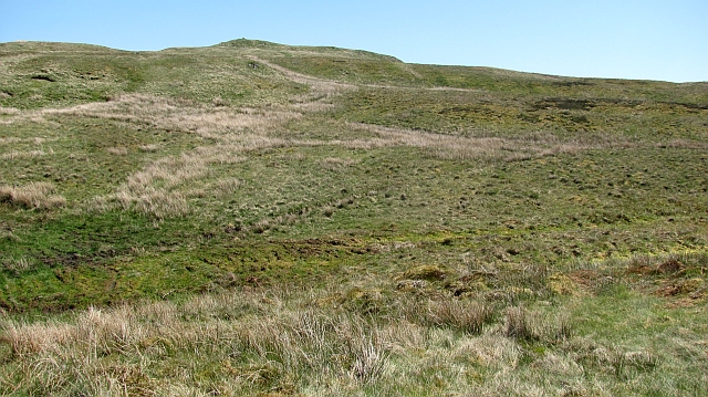
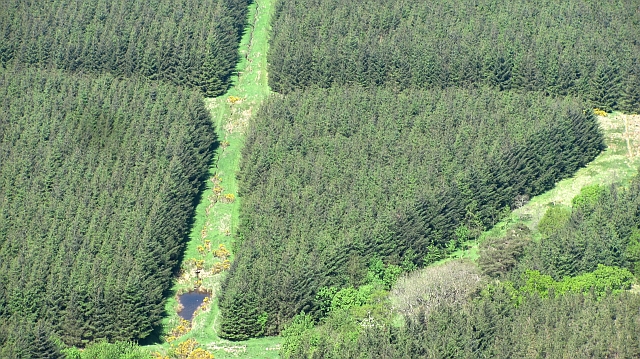
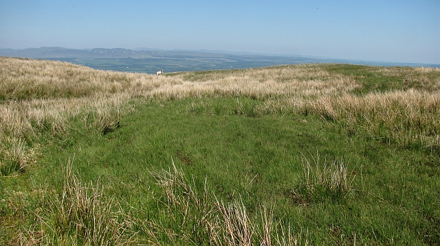
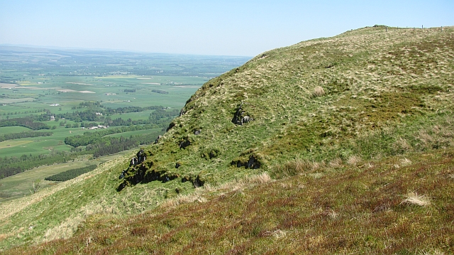
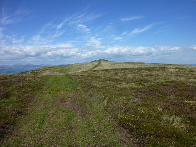
Burn Plantation is a picturesque woodland located in Stirlingshire, Scotland. Spanning over an area of approximately 100 hectares, it is renowned for its dense and diverse forest cover, making it a popular destination for nature lovers and outdoor enthusiasts.
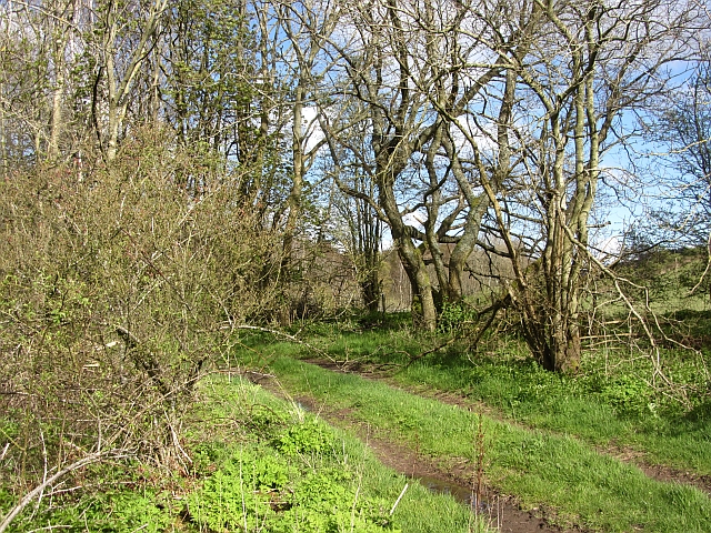
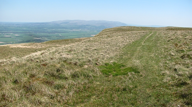
The woodland is primarily composed of native tree species, including oak, birch, beech, and Scots pine, creating a rich and vibrant ecosystem. The dense canopy formed by these trees offers a cool and tranquil environment, making it an ideal spot for recreational activities such as walking, hiking, and birdwatching.
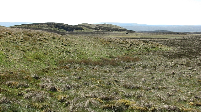
In addition to its natural beauty, Burn Plantation also boasts a variety of wildlife. The woodland is home to numerous bird species, including the great spotted woodpecker, tawny owl, and chaffinch. Visitors can often catch a glimpse of these birds and hear their melodious songs while exploring the woodland trails. The forest floor is carpeted with an array of wildflowers, ferns, and mosses, providing a haven for insects and small mammals.
The management of Burn Plantation focuses on maintaining the ecological balance and preserving the natural habitat. Regular tree planting initiatives ensure the sustainability of the woodland, while selective thinning and removal of non-native species help promote the growth of indigenous flora and fauna.
Overall, Burn Plantation is a captivating woodland that offers a serene escape from the hustle and bustle of everyday life. Its natural beauty, diverse wildlife, and well-maintained trails make it a must-visit destination for anyone seeking a peaceful and immersive experience in the heart of Stirlingshire's countryside.
If you have any feedback on the listing, please let us know in the comments section below.
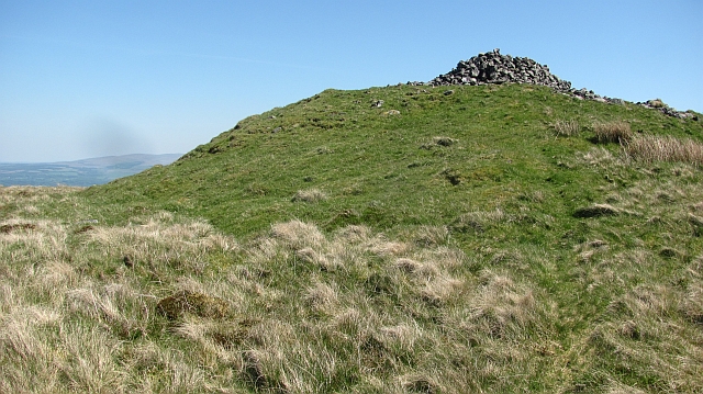
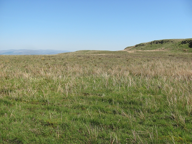
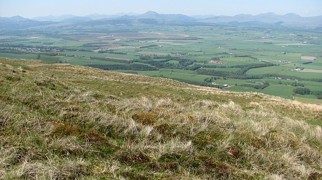
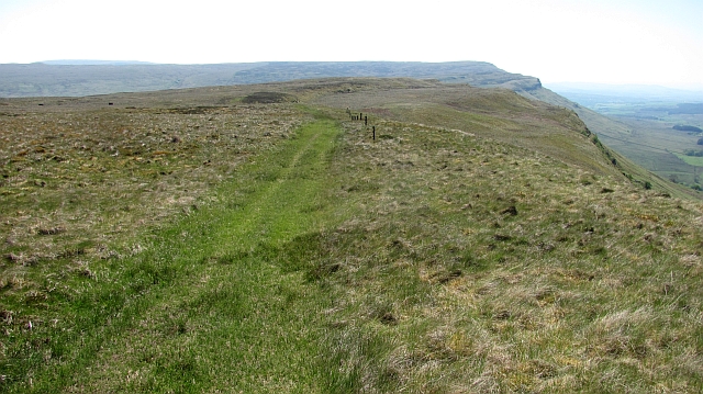
Burn Plantation Images
Images are sourced within 2km of 56.113285/-4.1313113 or Grid Reference NS6793. Thanks to Geograph Open Source API. All images are credited.

Burn Plantation is located at Grid Ref: NS6793 (Lat: 56.113285, Lng: -4.1313113)
Unitary Authority: Stirling
Police Authority: Forth Valley
What 3 Words
///husky.freezers.bride. Near Kippen, Stirling
Nearby Locations
Related Wikis

Leckie Broch
Leckie Broch is an iron-age broch located in Stirlingshire, Scotland. == Location == Just above the confluence of two streams with deep gulleys on the...

Gargunnock Hills
The Gargunnock Hills are a range of hills west of the city of Stirling, Scotland. They culminate in the peak of Carleatheran, whose 485-metre (1,591 ft...

Kippen railway station
Kippen railway station co-served the village of Kippen, Stirling, Scotland, from 1856 to 1934 on the Forth and Clyde Junction Railway. == History == The...
Kippen
Kippen is a village in west Stirlingshire, Scotland. It lies between the Gargunnock Hills and the Fintry Hills and overlooks the Carse of Forth to the...
Nearby Amenities
Located within 500m of 56.113285,-4.1313113Have you been to Burn Plantation?
Leave your review of Burn Plantation below (or comments, questions and feedback).