Blair Moss Wood

Wood, Forest in Stirlingshire

Scotland

Blair Moss Wood

Old Military Road Once the road between Dumbarton and Stirling, now a no through road lane.
Old Military Road Credit: Richard Webb

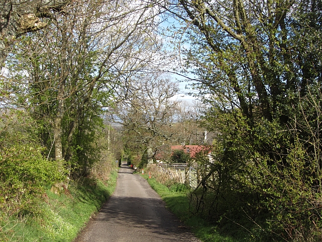
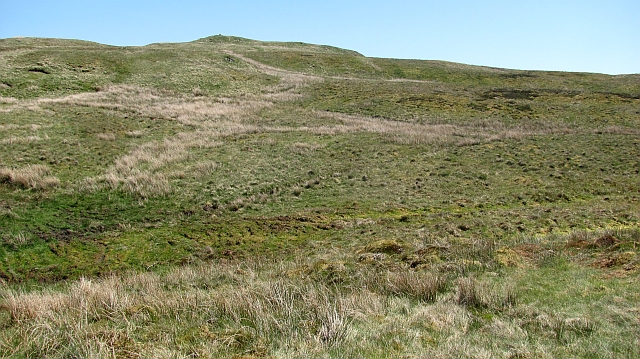
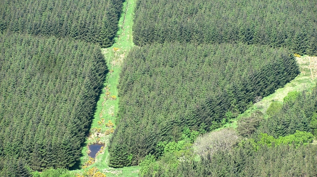
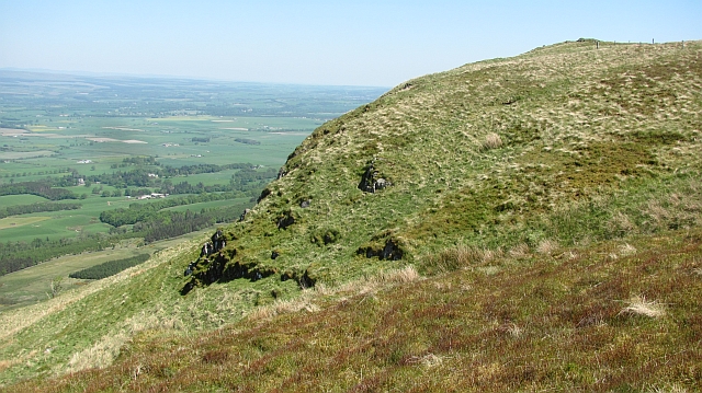
Blair Moss Wood is a beautiful forest located in Stirlingshire, Scotland. It is a popular destination for nature enthusiasts, hikers, and wildlife lovers due to its diverse ecosystem and stunning landscapes. The wood covers an area of approximately 200 acres, providing ample space for exploration and recreation.

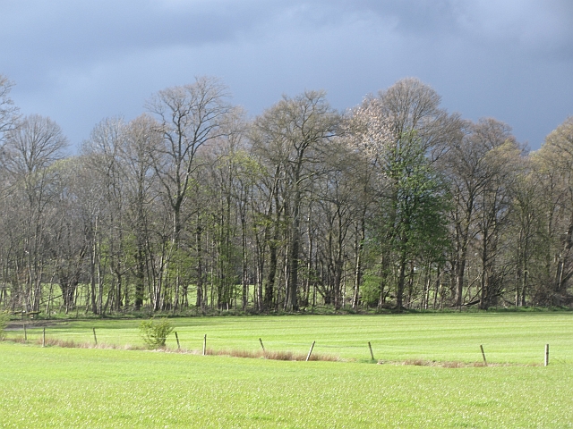
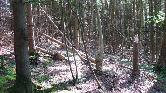
One of the most notable features of Blair Moss Wood is its rich biodiversity. The forest is home to a wide variety of plant and animal species, including oak, beech, and birch trees. These towering trees create a dense canopy that provides shelter for many woodland creatures, such as red squirrels, roe deer, and various bird species.

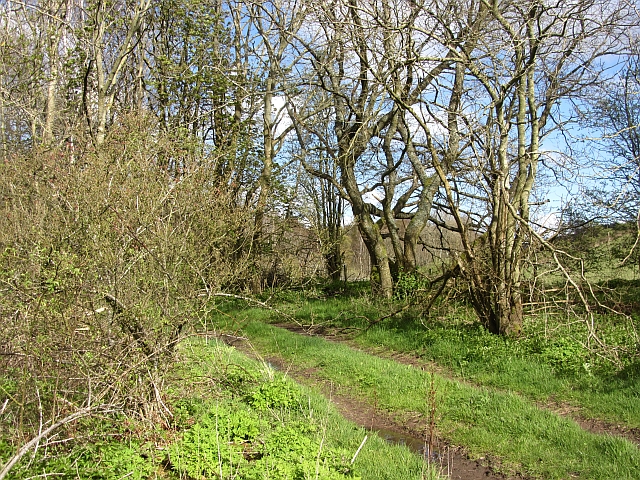
The wood offers a network of walking trails, allowing visitors to immerse themselves in the peaceful surroundings. The paths wind through the forest, revealing hidden viewpoints and tranquil spots for picnicking or simply enjoying the serenity of nature. Along the way, visitors may encounter wildflowers, fungi, and mosses that add to the wood's natural beauty.

Blair Moss Wood also has a rich history. It is believed to have remnants of ancient settlements, with archaeological discoveries suggesting human presence dating back thousands of years. The wood's historical significance adds another layer of interest for those who appreciate cultural heritage.

Overall, Blair Moss Wood is a captivating destination that offers a chance to reconnect with nature and explore Scotland's natural beauty. Whether one seeks a peaceful walk, wildlife spotting, or historical exploration, this forest provides a memorable experience for all who visit.

If you have any feedback on the listing, please let us know in the comments section below.

Blair Moss Wood Images

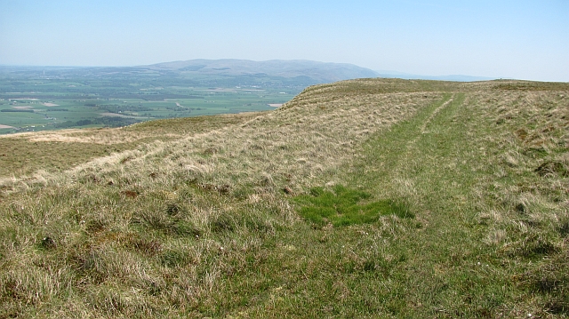
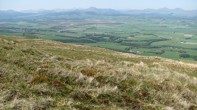
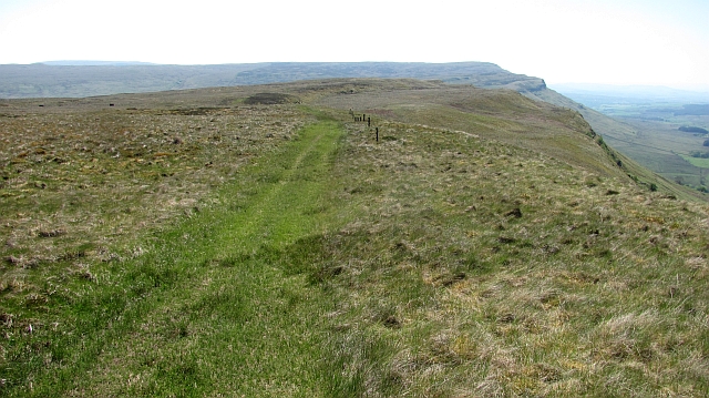
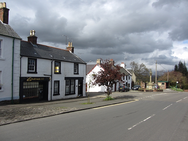
Images are sourced within 2km of 56.112607/-4.1388496 or Grid Reference NS6793. Thanks to Geograph Open Source API. All images are credited.

Old Military Road Once the road between Dumbarton and Stirling, now a no through road lane.
Old Military Road
Once the road between Dumbarton and Stirling, now a no through road lane.
Woodland, Boquhan A strip of woodland between grass fields. There is some dairy farming here.
Woodland, Boquhan
A strip of woodland between grass fields. There is some dairy farming here.
Bain's Bog Wood A long wood on the edge of the carse land.
Bain's Bog Wood
A long wood on the edge of the carse land.
Bogle Glen Wood A small conifer plantation.
Bogle Glen Wood
A small conifer plantation.
Cattle by the Boquhan Burn The burn runs through a wooded ravine below this field.
Cattle by the Boquhan Burn
The burn runs through a wooded ravine below this field.
On the Gargunnock Hills Above the scarp with a tin of grouse grit in the foreground. The view is towards Carleatheran.
On the Gargunnock Hills
Above the scarp with a tin of grouse grit in the foreground. The view is towards Carleatheran.
On the Gargunnock Hills Rough moorland which is managed as a grouse moor even though the heather is outnumbered by the grass. The mapped track is an exaggeration - there is a strip of flattened grass from four wheel drive vehicles and some churned up bog, but nothing to suggest a proper two dashed line track.
On the Gargunnock Hills
Rough moorland which is managed as a grouse moor even though the heather is outnumbered by the grass. The mapped track is an exaggeration - there is a strip of flattened grass from four wheel drive vehicles and some churned up bog, but nothing to suggest a proper two dashed line track.
Blair Moss Wood Conifer plantation beneath the Gargunnock Hills escarpment.
Blair Moss Wood
Conifer plantation beneath the Gargunnock Hills escarpment.
Bog, Carleatheran Peat bogs on the Gargunnock Hills plateau with the Earlsburn wind farm in the background.
Bog, Carleatheran
Peat bogs on the Gargunnock Hills plateau with the Earlsburn wind farm in the background.
Field above the Boquhan Burn The burn flows through a deep ravine which looks like it might repay exploration. A long focus brings in the Perthshire Highlands in the background.
Field above the Boquhan Burn
The burn flows through a deep ravine which looks like it might repay exploration. A long focus brings in the Perthshire Highlands in the background.
Trap landscape, Carleatheran The stepped landscape of successive lava flows on the Gargunnock Hills. Soon to the north the hill falls steeply towards the lowlands around the River Forth.
Trap landscape, Carleatheran
The stepped landscape of successive lava flows on the Gargunnock Hills. Soon to the north the hill falls steeply towards the lowlands around the River Forth.
Quadbike track on Carleatheran Grassy moorland at the top of the Gargunnock Hills scarp.
Quadbike track on Carleatheran
Grassy moorland at the top of the Gargunnock Hills scarp.
Above Black Craig Grassy moorland on the Gargunnock Hills with fine views of the Forth plain beneath the steep scarp.  Quite a few Highland Perthshire hills are clearly visible from Ben Venue to Ben Vorlich.
Above Black Craig
Grassy moorland on the Gargunnock Hills with fine views of the Forth plain beneath the steep scarp. Quite a few Highland Perthshire hills are clearly visible from Ben Venue to Ben Vorlich.
Path above Standmilane Crags Exaggerated somewhat to road status by the Ordnance Survey, this is a quad bike track of flattened grass with some deep boggy bits which runs the length of the escarpment. The view is towards Stronend above Fintry. Progress off the path is liable to be slow and frustrating, this is rough country.
Path above Standmilane Crags
Exaggerated somewhat to road status by the Ordnance Survey, this is a quad bike track of flattened grass with some deep boggy bits which runs the length of the escarpment. The view is towards Stronend above Fintry. Progress off the path is liable to be slow and frustrating, this is rough country.
Bog pool, Lees Hill Peat deposits on the Gargunnock Hill plateau.
Bog pool, Lees Hill
Peat deposits on the Gargunnock Hill plateau.
Wood, Ballochleam A few trees remain in this roundel wood at Ballochleam.
Wood, Ballochleam
A few trees remain in this roundel wood at Ballochleam.
Road, Ballochleam The road runs up to the Gargunnock Hills plateau by the Spout of Ballochleam.
Road, Ballochleam
The road runs up to the Gargunnock Hills plateau by the Spout of Ballochleam.
Road, Ballochleam The road runs up to the Gargunnock Hills plateau by a gap in the crags near Spout of Ballochleam.
Road, Ballochleam
The road runs up to the Gargunnock Hills plateau by a gap in the crags near Spout of Ballochleam.
Show me another place!

Blair Moss Wood is located at Grid Ref: NS6793 (Lat: 56.112607, Lng: -4.1388496)

Unitary Authority: Stirling

Police Authority: Forth Valley

What 3 Words

///secondly.awestruck.helps. Near Kippen, Stirling

Related Wikis

Leckie Broch

Leckie Broch is an iron-age broch located in Stirlingshire, Scotland. == Location == Just above the confluence of two streams with deep gulleys on the...

Gargunnock Hills

The Gargunnock Hills are a range of hills west of the city of Stirling, Scotland. They culminate in the peak of Carleatheran, whose 485-metre (1,591 ft...

Kippen railway station

Kippen railway station co-served the village of Kippen, Stirling, Scotland, from 1856 to 1934 on the Forth and Clyde Junction Railway. == History == The...

Kippen

Kippen is a village in west Stirlingshire, Scotland. It lies between the Gargunnock Hills and the Fintry Hills and overlooks the Carse of Forth to the...

Nearby Amenities

Located within 500m of 56.112607,-4.1388496
The data included in this document is from www.openstreetmap.org. The data is made available under ODbL.

Have you been to Blair Moss Wood?

Leave your review of Blair Moss Wood below (or comments, questions and feedback).