Barnshalloch Moss
Wood, Forest in Kirkcudbrightshire
Scotland
Barnshalloch Moss
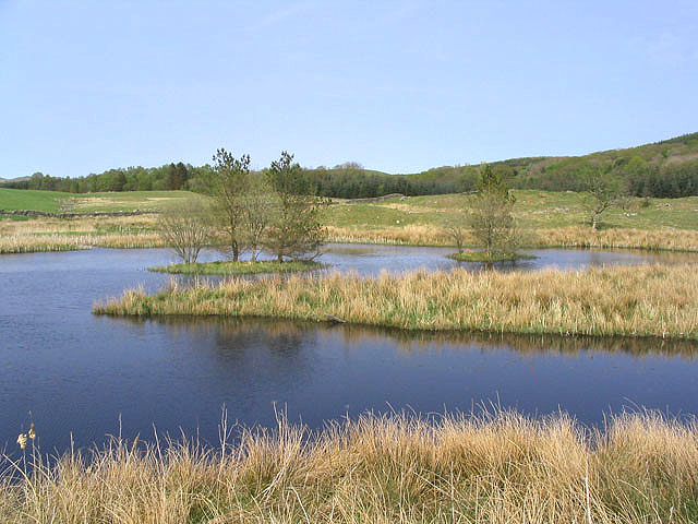
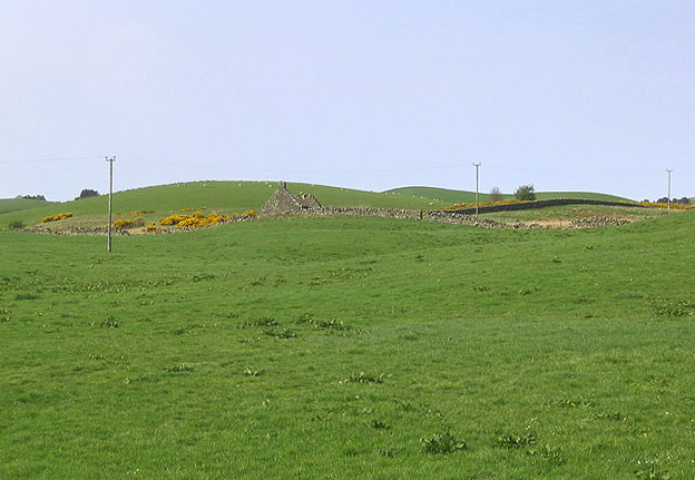
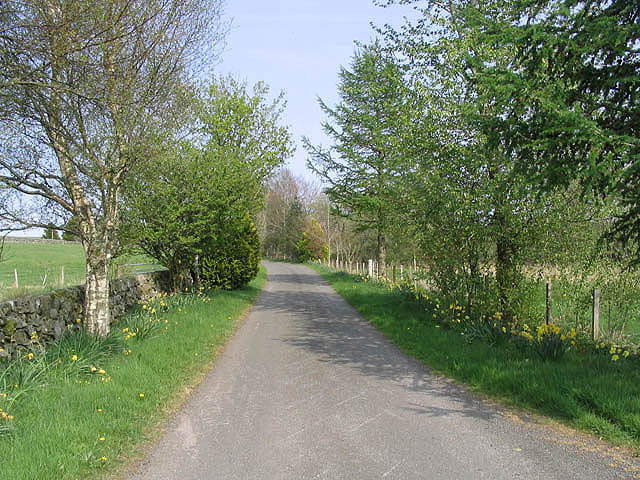
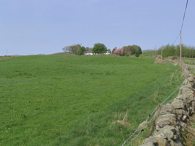
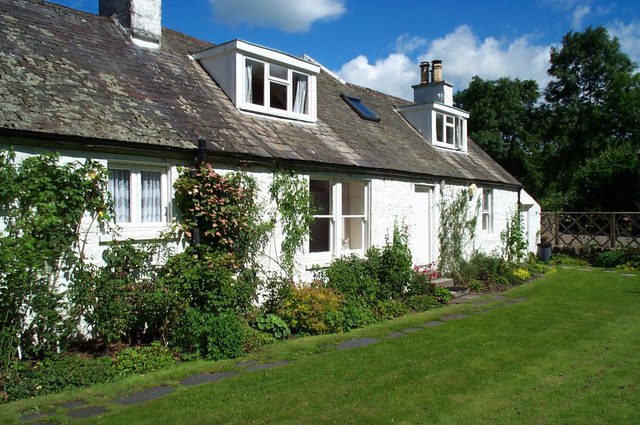
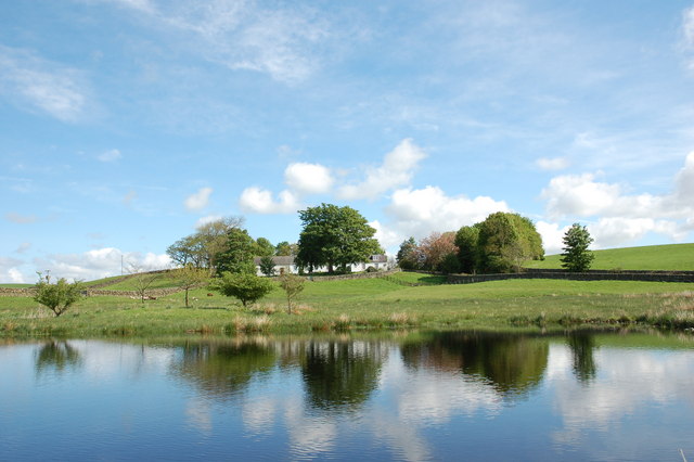
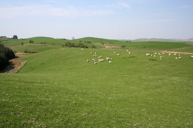
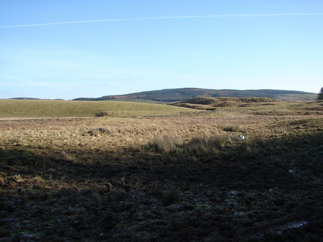
Barnshalloch Moss is a woodland located in Kirkcudbrightshire, Scotland. It is a picturesque area that covers a vast expanse of land, measuring approximately 200 acres. The moss is situated on the outskirts of the small village of Gatehouse of Fleet, surrounded by rolling hills and a tranquil atmosphere.
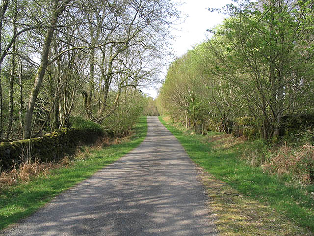
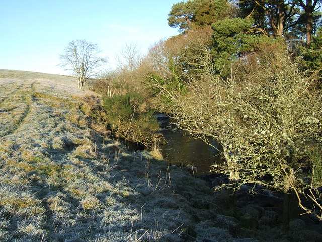
The woodland consists mainly of native broadleaf trees, such as oak, ash, and birch, which form a dense canopy overhead. These trees provide a habitat for a wide range of bird species, including woodpeckers, owls, and various songbirds. The forest floor is adorned with a carpet of lush mosses, ferns, and wildflowers, creating a vibrant and biodiverse ecosystem.
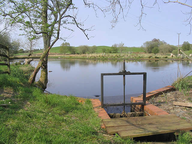
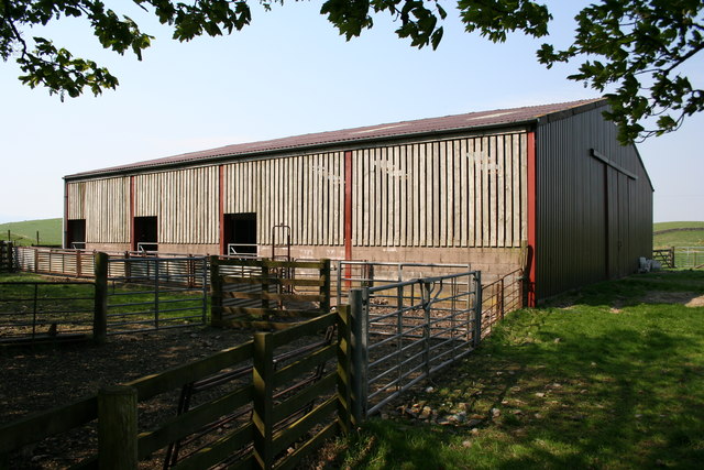
Barnshalloch Moss is also home to a variety of wildlife, including deer, foxes, and squirrels. The area is a designated nature reserve, ensuring the protection and preservation of its natural beauty.
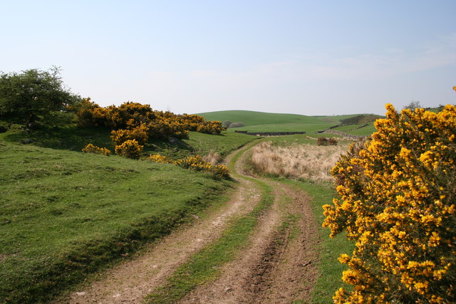
Visitors to Barnshalloch Moss can enjoy numerous walking trails that wind through the woodland, providing opportunities for exploration and birdwatching. The peaceful atmosphere and stunning scenery make it an ideal location for nature enthusiasts and photographers alike.
In addition to its natural beauty, Barnshalloch Moss also holds historical significance. It is believed to have been a site of human activity since prehistoric times, with archaeological remains indicating the presence of ancient settlements and burial sites.
Overall, Barnshalloch Moss is a captivating woodland that offers a unique and enriching experience for anyone seeking to connect with nature and explore the rich history of Kirkcudbrightshire.
If you have any feedback on the listing, please let us know in the comments section below.
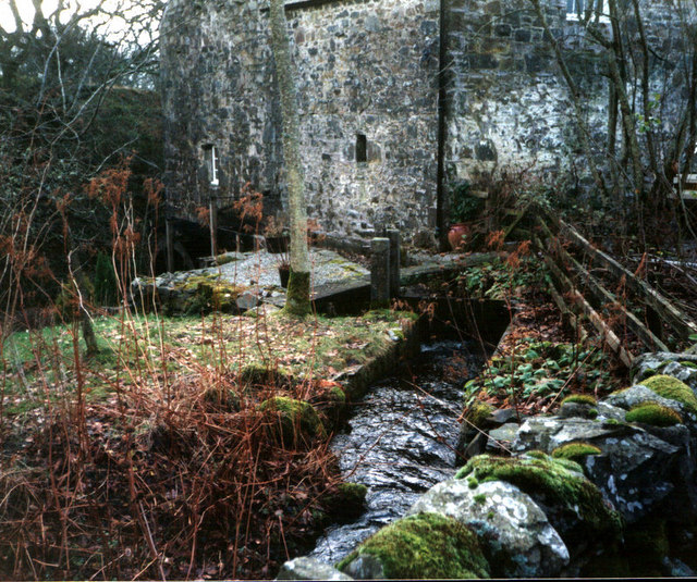
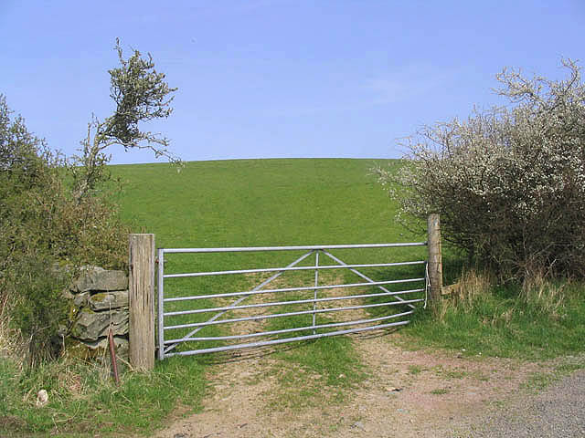
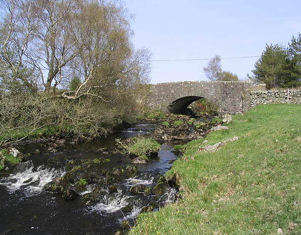
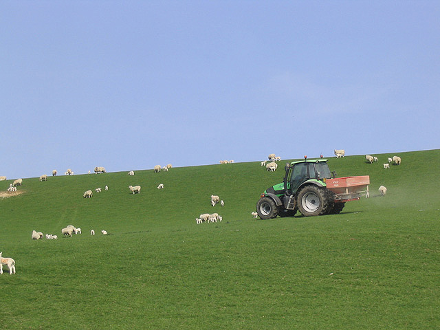
Barnshalloch Moss Images
Images are sourced within 2km of 55.063807/-4.0754405 or Grid Reference NX6776. Thanks to Geograph Open Source API. All images are credited.
Barnshalloch Moss is located at Grid Ref: NX6776 (Lat: 55.063807, Lng: -4.0754405)
Unitary Authority: Dumfries and Galloway
Police Authority: Dumfries and Galloway
What 3 Words
///preparing.pounces.hairstyle. Near Castle Douglas, Dumfries & Galloway
Nearby Locations
Related Wikis

Ironmacannie Mill
Ironmacannie Mill is a historic watermill near Balmaclellan in Dumfries and Galloway, Scotland. Built in the 18th and 19th centuries, on the site of an...

Balmaclellan
Balmaclellan (Scottish Gaelic: Baile Mac-a-ghille-dhiolan, meaning town of the MacLellans) is a small hillside village of stone houses with slate roofs...

Galloway
Galloway (Scottish Gaelic: Gall-Ghàidhealaibh [ˈkal̪ˠaɣəl̪ˠu]; Scots: Gallowa; Latin: Gallovidia) is a region in southwestern Scotland comprising the historic...

Kenmure Castle
Kenmure Castle is a fortified house or castle in The Glenkens, 1 mile (1.6 km) south of the town of New Galloway in Kirkcudbrightshire, Galloway, south...
Nearby Amenities
Located within 500m of 55.063807,-4.0754405Have you been to Barnshalloch Moss?
Leave your review of Barnshalloch Moss below (or comments, questions and feedback).