Carleton
Settlement in Cumberland Eden
England
Carleton
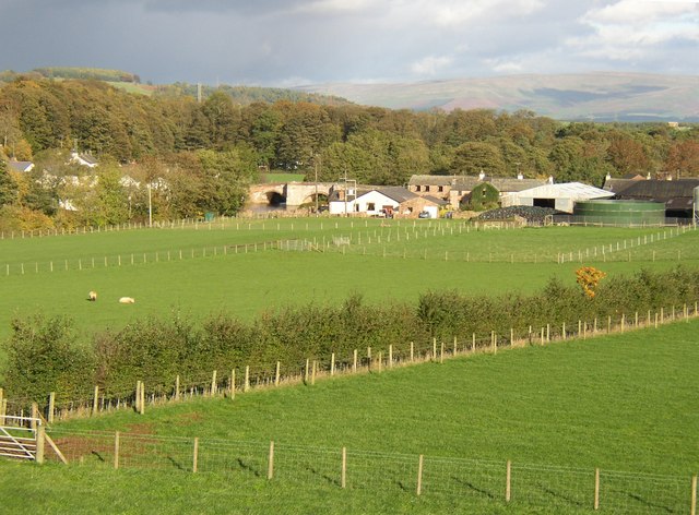
Carleton, Cumberland is a small rural community located in the province of Nova Scotia, Canada. Situated in the northern part of the province, Carleton is part of the Municipality of the County of Cumberland. The community is nestled along the shores of the Northumberland Strait, offering picturesque views of the water.
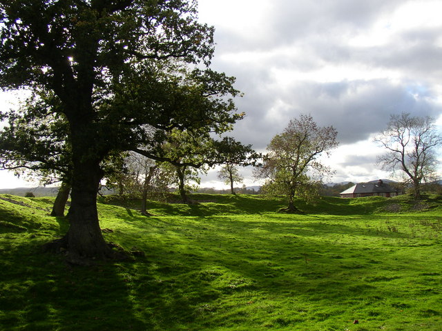
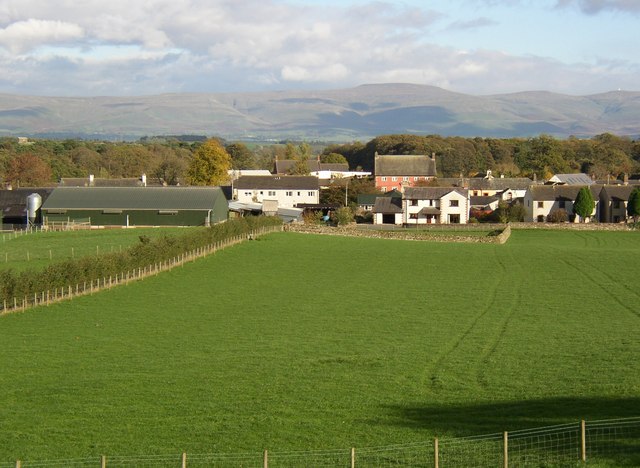
Carleton is known for its peaceful and tranquil atmosphere, making it an ideal destination for those seeking a quiet retreat or a place to reconnect with nature. The area boasts beautiful landscapes, with rolling hills, lush greenery, and stunning coastal scenery. The shoreline is dotted with sandy beaches and rocky cliffs, providing opportunities for beachcombing, swimming, and hiking.
The community of Carleton is primarily residential, with a small population of friendly and welcoming locals. The residents take pride in their community and work together to maintain its charm and character. The area is known for its strong sense of community spirit, with regular events and gatherings that bring people together.
While Carleton may be a small community, it offers essential amenities and services to its residents. There are a few local businesses, including a convenience store and a restaurant, providing basic necessities and dining options. For more extensive shopping and entertainment options, residents often travel to nearby towns such as Amherst or Truro.
Overall, Carleton, Cumberland offers a serene and picturesque setting, making it an attractive destination for those seeking a peaceful getaway or a place to call home. Its natural beauty, friendly community, and proximity to the Northumberland Strait make it a hidden gem within Nova Scotia.
If you have any feedback on the listing, please let us know in the comments section below.
Carleton Images
Images are sourced within 2km of 54.66109/-2.731674 or Grid Reference NY5229. Thanks to Geograph Open Source API. All images are credited.

Carleton is located at Grid Ref: NY5229 (Lat: 54.66109, Lng: -2.731674)
Administrative County: Cumbria
District: Eden
Police Authority: Cumbria
What 3 Words
///treatment.daytime.swanky. Near Penrith, Cumbria
Nearby Locations
Related Wikis

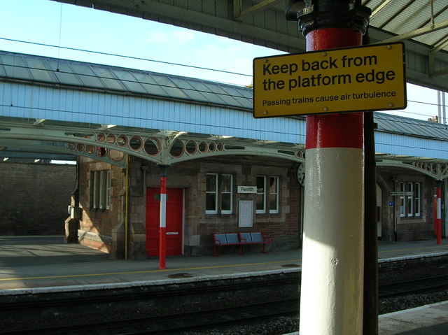
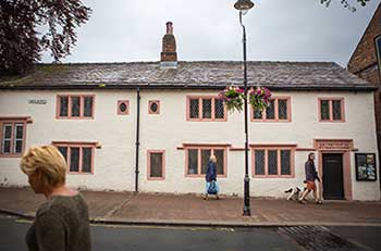
Carleton, Penrith
Carleton is a suburb of the town of Penrith, Cumbria, England, that has seen a huge growth in housing since the 1960s and is, of 2018, still expanding...

Brocavum
Brocavum is the Latin name of a Roman fort at Brougham near Penrith, Cumbria. The fort survives as earthworks, but no excavation of these has been carried...

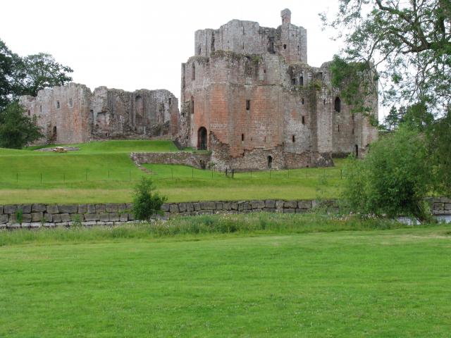
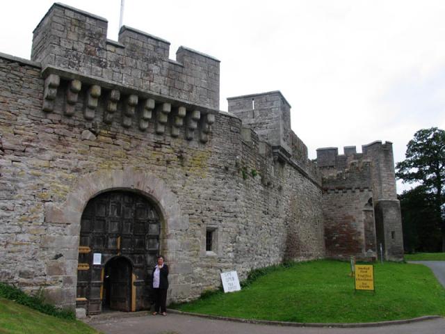
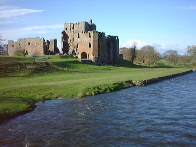
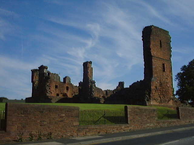
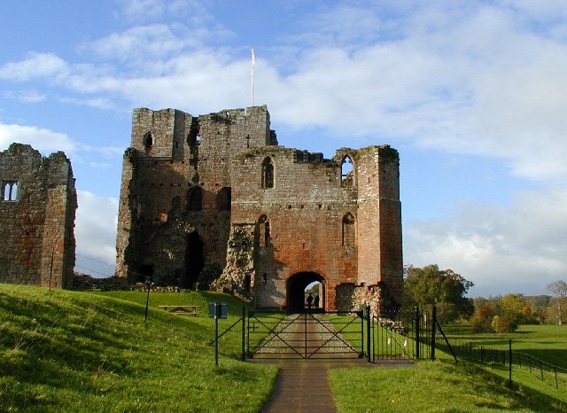
Brougham Castle
Brougham Castle (pronounced ) is a medieval building about 2 miles (3.2 km) south-east of Penrith, Cumbria, England. The castle was founded by Robert I...

Penrith A.F.C.
Penrith Association Football Club is a football club based in Penrith, Cumbria, England. They play in the Northern Football League Division One and their...
Ullswater Community College
Ullswater Community College (UCC) is a large mixed comprehensive school in Penrith, Cumbria. It currently has around 1550 students, including about 200...

Eamont Bridge (structure)
Eamont Bridge is a road bridge over the River Eamont, at the village of the same name, immediately to the south of Penrith, Cumbria, England. It is a scheduled...

St Andrew's Church, Penrith
St Andrew's Church is in the centre of the town of Penrith, Cumbria, England. It is an active Anglican parish church in the deanery of Penrith, the archdeaconry...
Penrith and Eden Museum
Penrith and Eden Museum is a museum in Penrith, Cumbria, England. The museum aims to collect, preserve and display material reflecting the history and...
Nearby Amenities
Located within 500m of 54.66109,-2.731674Have you been to Carleton?
Leave your review of Carleton below (or comments, questions and feedback).