Pategill

Settlement in Cumberland Eden

England

Pategill

Brougham Castle The castle is situated in the south to southeastern corner of the grid square, southwest of Penrith in Cumbria. The picture was taken looking eastwards towards the castle from the road.
Brougham Castle Credit: Pam Brophy

Pategill is a small village located in the county of Cumberland, in the northwest region of England. Situated near the town of Carlisle, it lies within the historic county of Cumberland, which is known for its picturesque landscapes and rich cultural heritage.

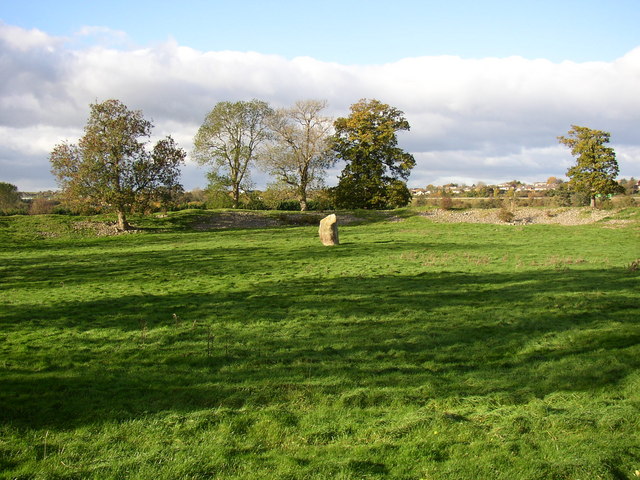
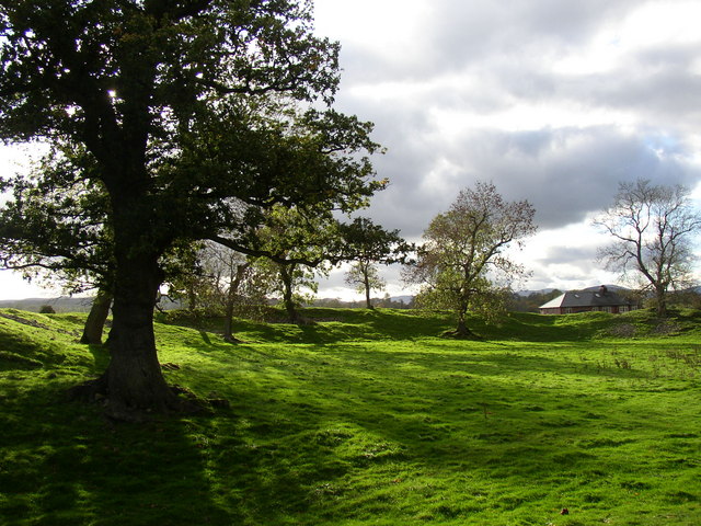
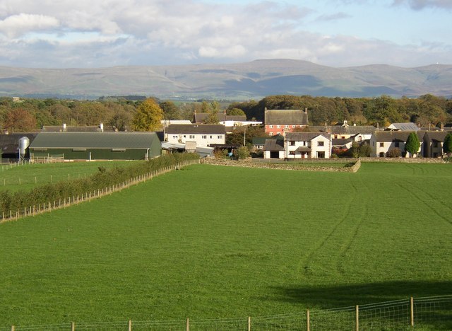
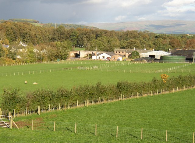
The village is nestled in a rural setting, surrounded by rolling hills, lush green meadows, and tranquil streams. Pategill attracts visitors with its idyllic charm and peaceful atmosphere, making it an ideal destination for those seeking a quiet retreat from the bustling city life.

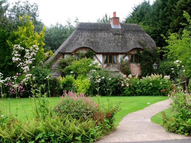
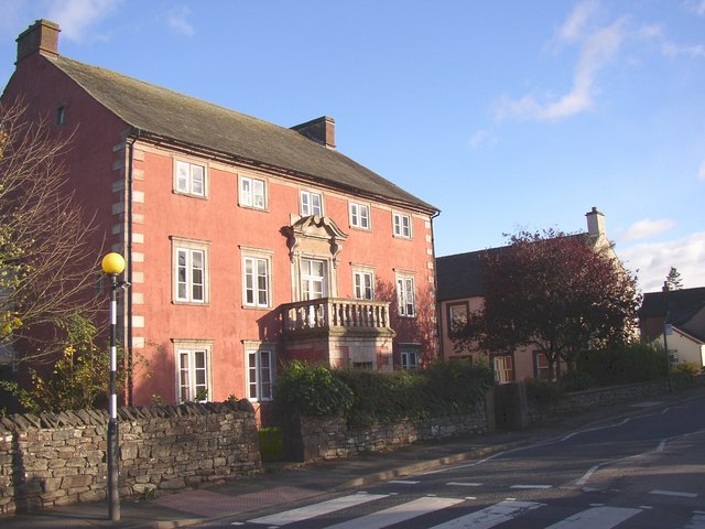
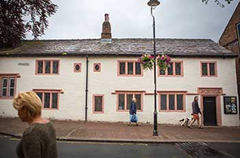
The village itself is characterized by its traditional architecture, with charming stone houses and quaint cottages lining its narrow streets. The village center features a small square, where locals and visitors can find a few shops, a post office, and a cozy pub, which serves as a popular gathering spot for residents.

Nature enthusiasts will find plenty to explore in the surrounding area. Pategill is located near the North Pennines Area of Outstanding Natural Beauty, offering breathtaking views and a plethora of outdoor activities such as hiking, cycling, and birdwatching. The nearby River Caldew also provides opportunities for fishing and boating.

Pategill's location offers easy access to the city of Carlisle, which is renowned for its historic castle, cathedral, and vibrant cultural scene. The village is well-connected to the rest of the region through a network of roads and public transportation, making it a convenient base for exploring the wider Cumberland area.

Overall, Pategill offers a peaceful and picturesque retreat for those looking to immerse themselves in the beauty of the English countryside while still being within reach of urban amenities and attractions.

If you have any feedback on the listing, please let us know in the comments section below.

Pategill Images

Images are sourced within 2km of 54.660373/-2.740172 or Grid Reference NY5229. Thanks to Geograph Open Source API. All images are credited.

Brougham Castle The castle is situated in the south to southeastern corner of the grid square, southwest of Penrith in Cumbria. The picture was taken looking eastwards towards the castle from the road.
Brougham Castle
The castle is situated in the south to southeastern corner of the grid square, southwest of Penrith in Cumbria. The picture was taken looking eastwards towards the castle from the road.
Brougham Hall This Manor House situated in the south eastern corner of the square, has seen all sorts of troubled times. It is now a craft centre and produces delicious smoked cheese.
Brougham Hall
This Manor House situated in the south eastern corner of the square, has seen all sorts of troubled times. It is now a craft centre and produces delicious smoked cheese.
One of a pair This photograph of the knocker on the door at Brougham Hall, is submitted as a supplementary photo, as it is of some interest. Its partner is to be found on the door of Durham Cathedral <a title="https://www.geograph.org.uk/photo/2532705" href="https://www.geograph.org.uk/photo/2532705">Link</a>.
One of a pair
This photograph of the knocker on the door at Brougham Hall, is submitted as a supplementary photo, as it is of some interest. Its partner is to be found on the door of Durham Cathedral Link.
Honeysuckle Cottage Visitor Centre This is a photograph of the visitors' centre for Lilliput Lane Miniature Cottages. The exact grid reference is NY510288.
Honeysuckle Cottage Visitor Centre
This is a photograph of the visitors' centre for Lilliput Lane Miniature Cottages. The exact grid reference is NY510288.
Brougham Castle This ancient castle which was home to Lady Anne Clifford. Open to the public under the care of English Heritage.
Brougham Castle
This ancient castle which was home to Lady Anne Clifford. Open to the public under the care of English Heritage.
Penrith Castle Penrith Castle freely open to the public. Located across the road from the railway station so worth a browse whilst you await a train
Penrith Castle
Penrith Castle freely open to the public. Located across the road from the railway station so worth a browse whilst you await a train
Brougham Castle near Penrith Photo shows the double gatehouse - started in the 13th century based on a roman fort.
Brougham Castle near Penrith
Photo shows the double gatehouse - started in the 13th century based on a roman fort.
River Eamont at Brougham Castle, Cumbria This view shows the waters of the River Eamont and River Lowther meeting at Brougham Castle. <span class="nowrap"><a title="http://www.visitcumbria.com/pen/brougham.htm" rel="nofollow ugc noopener" href="http://www.visitcumbria.com/pen/brougham.htm">Link</a><img style="margin-left:2px;" alt="External link" title="External link - shift click to open in new window" src="https://s1.geograph.org.uk/img/external.png" width="10" height="10"/></span>
River Eamont at Brougham Castle, Cumbria
This view shows the waters of the River Eamont and River Lowther meeting at Brougham Castle. LinkExternal link
Penrith Railway Station, August 1974 Nearly new electric loco 87030 passes through on an express to Euston
Penrith Railway Station, August 1974
Nearly new electric loco 87030 passes through on an express to Euston
Modern factory, Penrith The cars are on the M6 motorway
Modern factory, Penrith
The cars are on the M6 motorway
Penrith Railway Station warning (the boring, real version) For the more imaginative, less real version have a look at the following picture, for which I have no copyright or ownership, nor any info regarding the wag responsible . . . 
<span class="nowrap"><a title="http://www.bimmerfest.com/photos/data/500/theplacetobe.jpg" rel="nofollow ugc noopener" href="http://www.bimmerfest.com/photos/data/500/theplacetobe.jpg">Link</a><img style="margin-left:2px;" alt="External link" title="External link - shift click to open in new window" src="https://s1.geograph.org.uk/img/external.png" width="10" height="10"/></span>
Penrith Railway Station warning (the boring, real version)
For the more imaginative, less real version have a look at the following picture, for which I have no copyright or ownership, nor any info regarding the wag responsible . . . LinkExternal link
Carleton Hall. Cumbria constabulary headquarters at the moment.
Carleton Hall.
Cumbria constabulary headquarters at the moment.
Mayburgh Henge, northern part with standing-stone, Yanwath and Eamont Bridge Mayburgh Henge consists of a single circular bank, up to 6.5 metres high, and 50m across its base, with a single entrance and enclosing a level area 90m dia. It contains a single monolith 2.8m high, one of eight that existed in the 18C, four in the centre and four at the entrance. The other seven were destroyed using gunpowder.  The henge probably dates from between 2000 and 1000BC, and may have been a meeting place or refuge for a large prehistoric community.
Mayburgh Henge, northern part with standing-stone, Yanwath and Eamont Bridge
Mayburgh Henge consists of a single circular bank, up to 6.5 metres high, and 50m across its base, with a single entrance and enclosing a level area 90m dia. It contains a single monolith 2.8m high, one of eight that existed in the 18C, four in the centre and four at the entrance. The other seven were destroyed using gunpowder. The henge probably dates from between 2000 and 1000BC, and may have been a meeting place or refuge for a large prehistoric community.
Mayburgh Henge, south-western part, Yanwath and Eamont Bridge A quick search on the internet will produce several other photographs, including aerial views.
Mayburgh Henge, south-western part, Yanwath and Eamont Bridge
A quick search on the internet will produce several other photographs, including aerial views.
The Eden Millennium Monument, Yanwath and Eamont Bridge This 50t block of granite was transported here and erected on 2 July 2000.  It is inscribed with an alpha and an omega, the first and last letters of the Greek alphabet signifying beginning and end, past and future. It is also inscribed with a cross and '2000' for 2000 years of Christianity. The site was chosen because of its proximity to Mayburgh Henge.
The Eden Millennium Monument, Yanwath and Eamont Bridge
This 50t block of granite was transported here and erected on 2 July 2000. It is inscribed with an alpha and an omega, the first and last letters of the Greek alphabet signifying beginning and end, past and future. It is also inscribed with a cross and '2000' for 2000 years of Christianity. The site was chosen because of its proximity to Mayburgh Henge.
The Mansion House, Eamont Bridge, Yanwath and Eamont Bridge This is Grade II* listed and has inscribed over the entrance 'R. & L.B. 1686' (Rolland Barrow, Rector of Brougham, and his wife.) The house was restored in 1977. A spiral stone staircase inside suggests that the house might have been first built before the 17C. The workhouse for the West Ward Poor Law Union was behind and alongside the house on the 1863 6" map.
The Mansion House, Eamont Bridge, Yanwath and Eamont Bridge
This is Grade II* listed and has inscribed over the entrance 'R. & L.B. 1686' (Rolland Barrow, Rector of Brougham, and his wife.) The house was restored in 1977. A spiral stone staircase inside suggests that the house might have been first built before the 17C. The workhouse for the West Ward Poor Law Union was behind and alongside the house on the 1863 6" map.
Eamont Bridge from Mayburgh Henge (2), Yanwath and Eamont Bridge Another view across the fields.  For close-up of the pink-washed 17C house see <a href="https://www.geograph.org.uk/photo/273936">NY5228 : The Mansion House, Eamont Bridge, Yanwath and Eamont Bridge</a>
Eamont Bridge from Mayburgh Henge (2), Yanwath and Eamont Bridge
Another view across the fields. For close-up of the pink-washed 17C house see NY5228 : The Mansion House, Eamont Bridge, Yanwath and Eamont Bridge
Eamont Bridge from Mayburgh Henge (1), Yanwath and Eamont Bridge This view shows the bridge and part of the ribbon development alongside the A6.
Eamont Bridge from Mayburgh Henge (1), Yanwath and Eamont Bridge
This view shows the bridge and part of the ribbon development alongside the A6.
Show me another place!

Pategill is located at Grid Ref: NY5229 (Lat: 54.660373, Lng: -2.740172)

Administrative County: Cumbria

District: Eden

Police Authority: Cumbria

What 3 Words

///survivor.roofs.committed. Near Penrith, Cumbria

Related Wikis

Ullswater Community College

Ullswater Community College (UCC) is a large mixed comprehensive school in Penrith, Cumbria. It currently has around 1550 students, including about 200...

Carleton, Penrith

Carleton is a suburb of the town of Penrith, Cumbria, England, that has seen a huge growth in housing since the 1960s and is, of 2018, still expanding...

St Andrew's Church, Penrith

St Andrew's Church is in the centre of the town of Penrith, Cumbria, England. It is an active Anglican parish church in the deanery of Penrith, the archdeaconry...

Penrith and Eden Museum

Penrith and Eden Museum is a museum in Penrith, Cumbria, England. The museum aims to collect, preserve and display material reflecting the history and...

Eamont Bridge (structure)

Eamont Bridge is a road bridge over the River Eamont, at the village of the same name, immediately to the south of Penrith, Cumbria, England. It is a scheduled...
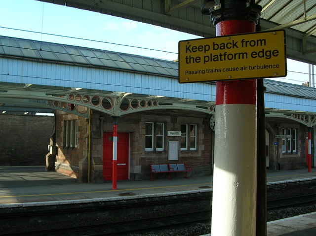
Penrith, Cumbria

Penrith (, PEN-rith, pen-RITH) is a market town and civil parish in the Westmorland and Furness district of Cumbria, England. It is less than 3 miles...
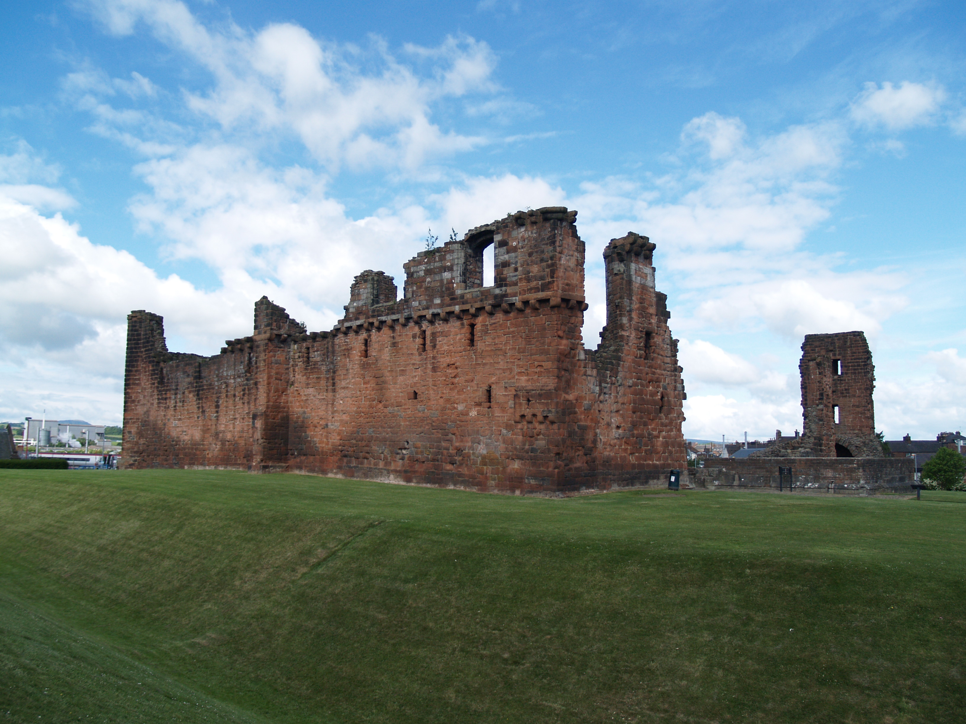
Penrith Castle

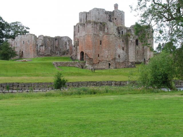
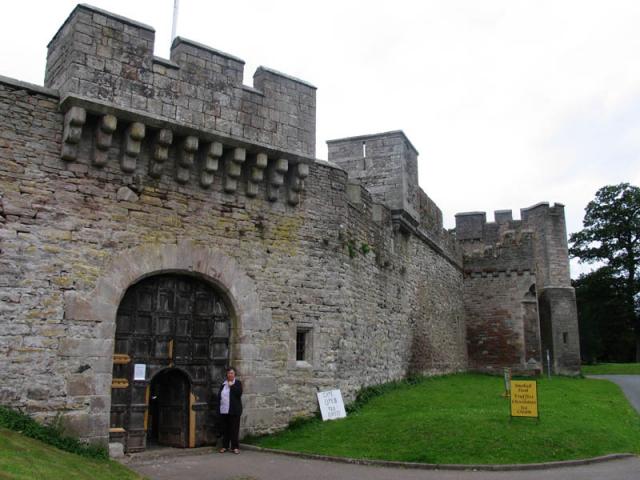
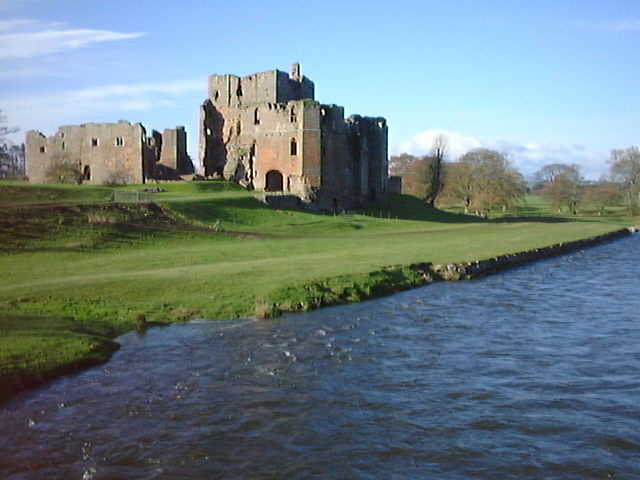
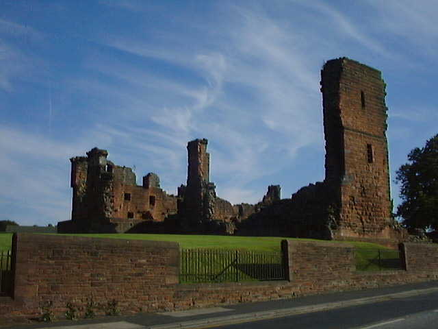
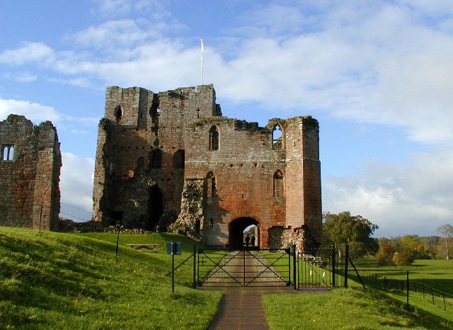
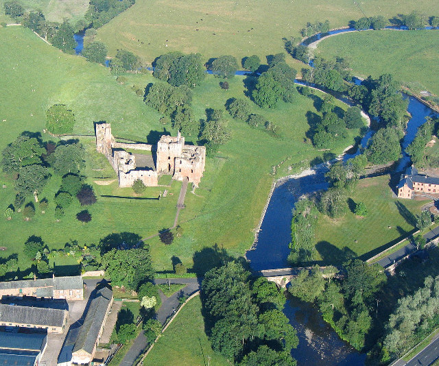
Penrith Castle is a now-ruined medieval castle located in Penrith, in the north-west of England, a few miles to the east of the Lake District National...
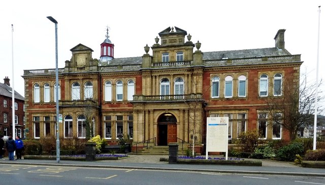
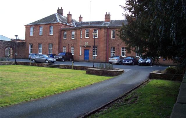
Penrith Town Hall

Penrith Town Hall is a municipal building in Corney Square, Penrith, Cumbria, England. The structure, which was the headquarters of Eden District Council...

Nearby Amenities

Located within 500m of 54.660373,-2.740172
Note: Junction name "Kemplay Bank"
Lat/Long: 54.6568028/-2.736816
Traffic Signals
Lat/Long: 54.6603617/-2.7478944
Crossing
Crossing: uncontrolled
Crossing Ref: zebra
Tactile Paving: yes
Lat/Long: 54.6592333/-2.7469504
Bus Stop
Ullswater Community College
Bus: yes
Local Ref: AT
Naptan AtcoCode: 090074560885
Naptan Bearing: S
Naptan CommonName: Ullswater Community College (S bound)
Naptan Indicator: at
Naptan Landmark: junction with Tynefield Court
Naptan NaptanCode: cumdgajp
Naptan Street: Bridge Lane
Naptan Verified: yes
Public Transport: platform
Source: naptan_import
Lat/Long: 54.6589203/-2.7465684
Bus Stop
Carleton Road
Bench: no
Bin: no
Bus: yes
Local Ref: AT
Naptan AtcoCode: 090074560889
Naptan Bearing: W
Naptan CommonName: Carleton Road
Naptan Indicator: at
Naptan Landmark: 17
Naptan NaptanCode: cumdgajt
Naptan Street: Carleton Road
Naptan Verified: no
Public Transport: platform
Shelter: no
Source: naptan_import
Tactile Paving: no
Lat/Long: 54.6615414/-2.745101
Bus Stop
Pategill Road (N bound)
Bus: yes
Naptan AtcoCode: 090074560903
Naptan Bearing: N
Naptan CommonName: Pategill Road (N bound)
Naptan Indicator: opp
Naptan Landmark: no. 55
Naptan NaptanCode: cumdgapa
Naptan Street: Pategill Road
Naptan Verified: no
Public Transport: platform
Source: naptan_import
Lat/Long: 54.6592534/-2.7430439
Bus Stop
Pategill Road (S bound)
Bus: yes
Local Ref: AT
Naptan AtcoCode: 090074560904
Naptan Bearing: S
Naptan CommonName: Pategill Road (S bound)
Naptan Indicator: at
Naptan Landmark: no. 39
Naptan NaptanCode: cumdgapd
Naptan Street: Pategill Road
Naptan Verified: no
Public Transport: platform
Source: naptan_import
Lat/Long: 54.6601495/-2.7430577
Bus Stop
Carleton Road opp Barco
Bus: yes
Naptan AtcoCode: 090074560911
Naptan Bearing: W
Naptan CommonName: Carleton Road opp Barco
Naptan Indicator: opp
Naptan Landmark: Barco
Naptan NaptanCode: cumdgapm
Naptan Street: Carleton Road
Naptan Verified: no
Public Transport: platform
Source: naptan_import
Lat/Long: 54.6613388/-2.7415161
Bus Stop
Oak Road
Bus: yes
Local Ref: AT
Naptan AtcoCode: 090074560944
Naptan Bearing: S
Naptan CommonName: Oak Road
Naptan Indicator: at
Naptan Landmark: Oak Road
Naptan NaptanCode: cumdgata
Naptan Street: Oak Road
Naptan Verified: no
Public Transport: platform
Source: naptan_import
Lat/Long: 54.6617103/-2.7336319
Turning Circle
Lat/Long: 54.6633748/-2.738125
Noexit: yes
Lat/Long: 54.6635004/-2.7415147
Turning Circle
Lat/Long: 54.660664/-2.7414503
Mini Roundabout
Direction: clockwise
Source: survey
Lat/Long: 54.6631155/-2.7344553
Barrier: bollard
Motor Vehicle: no
Lat/Long: 54.6593462/-2.7430188
Pategill
Place: suburb
Lat/Long: 54.6596236/-2.7395646
High Carleton
Place: neighbourhood
Lat/Long: 54.662395/-2.7340594
Post Box
Collection Times: Mo-Fr 09:00; Sa 07:00
Post Box Type: wall
Ref: CA11 302
Royal Cypher: GVIR
Royal Cypher Wikidata: Q33102169
Lat/Long: 54.6616807/-2.7462788
Telephone
Booth: KX100
Check Date: 2022-10-09
Covered: booth
Lat/Long: 54.6617366/-2.7462566
Recycling
Recycling Type: container
Lat/Long: 54.6610292/-2.7400916
Telephone
Lat/Long: 54.6600239/-2.7413844
Post Box
Ref: CA11 316
Lat/Long: 54.6587438/-2.742033
Shelter
Shelter Type: public_transport
Lat/Long: 54.6601914/-2.7429293
Historic: battlefield
Lat/Long: 54.6626737/-2.7399574
Spar
Addr City: Penrith
Addr Postcode: CA11 8JB
Addr Street: Bridge Lane
Brand: Spar
Brand Wikidata: Q610492
Opening Hours: 24/7
Shop: convenience
Lat/Long: 54.657628/-2.7457418
Post Box
Ref: CA11 20
Lat/Long: 54.6631622/-2.745375
Bus Stop
Ullswater Community College
Bus: yes
Public Transport: platform
Lat/Long: 54.6588786/-2.7467318
Atm
Fee: no
Lat/Long: 54.6598957/-2.7472834
Barrier: bollard
Bicycle: yes
Foot: yes
Motor Vehicle: no
Lat/Long: 54.6592673/-2.7437757
Sim Court
Lat/Long: 54.6604467/-2.7422233
Bench
Lat/Long: 54.6601433/-2.7428944
Bench
Lat/Long: 54.6593769/-2.7436401
The Plague Stone
Heritage: 2
Heritage Operator: he
Heritage Website: https://historicengland.org.uk/listing/the-list/list-entry/1137825
Historic: stone
Ref He: 1137825
Stone Type: plague_stone
Tourism: attraction
Wheelchair: yes
Wikidata: Q17542964
Lat/Long: 54.6587444/-2.746272
Fast Food
Subway
Brand: Subway
Brand Wikidata: Q244457
Brand Wikipedia: en:Subway (restaurant)
Cuisine: sandwich
Takeaway: yes
Lat/Long: 54.657601/-2.7458375
Post Box
Ref: CA11 318
Lat/Long: 54.6619328/-2.7336523
Post Box
Post Box Type: lamp
Ref: CA11 58
Royal Cypher: EIIR
Royal Cypher Wikidata: Q33102113
Lat/Long: 54.6604172/-2.7478369
Crossing
Crossing: unmarked
Crossing Markings: no
Lat/Long: 54.6575007/-2.7364887
Crossing
Crossing: unmarked
Crossing Markings: no
Lat/Long: 54.6582054/-2.7344408
Social Facility
Greengarth
Addr City: Penrith
Addr Postcode: CA11 8HY
Addr Street: Bridge Lane
Social Facility: group_home
Social Facility For: senior
Lat/Long: 54.6591912/-2.7462128
Walkers Funeral Directors
Addr City: Penrith
Addr Country: GB
Addr Housename: Tynefield House
Addr Postcode: CA11 8HY
Addr Street: Bridge Lane
Phone: +44 1768 892211
Shop: funeral_directors
Website: https://www.walkersfunerals.co.uk/
Lat/Long: 54.6598238/-2.7467341
Social Facility
Woodlands
Addr City: Penrith
Addr Country: GB
Addr Postcode: CA11 8GW
Addr Street: Bridge Lane
Fhrs Id: 307143
Phone: +44 1768 867490
Social Facility: group_home
Social Facility For: senior
Website: https://www.mha.org.uk/retirement-living/retirement-apartments-24-hour-care/woodlands-penrith/
Lat/Long: 54.6578359/-2.7464964
Social Facility
Winters Park
Addr City: Penrith
Addr Postcode: CA11 8RG
Addr Street: Pategill Road
Phone: +44 1768 867939
Social Facility: group_home
Social Facility For: senior
Website: https://hc-one.co.uk/Carehomes/Winters-Park.aspx
Lat/Long: 54.6581643/-2.7392031
Noexit: yes
Lat/Long: 54.6627995/-2.7461028
Noexit: yes
Lat/Long: 54.6626158/-2.7464082
Generator Method: photovoltaic
Generator Output Electricity: yes
Generator Source: solar
Generator Type: solar_photovoltaic_panel
Location: roof
Power: generator
Lat/Long: 54.6626874/-2.7350385
Generator Method: photovoltaic
Generator Output Electricity: yes
Generator Source: solar
Generator Type: solar_photovoltaic_panel
Location: roof
Power: generator
Lat/Long: 54.6611156/-2.7348497
Generator Method: photovoltaic
Generator Output Electricity: yes
Generator Source: solar
Generator Type: solar_photovoltaic_panel
Location: roof
Power: generator
Lat/Long: 54.661744/-2.7350267
Generator Method: photovoltaic
Generator Output Electricity: yes
Generator Source: solar
Generator Type: solar_photovoltaic_panel
Location: roof
Power: generator
Lat/Long: 54.6625196/-2.7371832
Generator Method: photovoltaic
Generator Output Electricity: yes
Generator Source: solar
Generator Type: solar_photovoltaic_panel
Location: roof
Power: generator
Lat/Long: 54.663134/-2.7364134
Generator Method: photovoltaic
Generator Output Electricity: yes
Generator Source: solar
Generator Type: solar_photovoltaic_panel
Location: roof
Power: generator
Lat/Long: 54.6629664/-2.7356785
Generator Method: photovoltaic
Generator Output Electricity: yes
Generator Source: solar
Generator Type: solar_photovoltaic_panel
Location: roof
Power: generator
Lat/Long: 54.6594385/-2.7326181
Generator Method: photovoltaic
Generator Output Electricity: yes
Generator Source: solar
Generator Type: solar_photovoltaic_panel
Location: roof
Power: generator
Lat/Long: 54.660419/-2.7453076
Generator Method: photovoltaic
Generator Output Electricity: yes
Generator Source: solar
Generator Type: solar_photovoltaic_panel
Location: roof
Power: generator
Lat/Long: 54.6611994/-2.743422
Generator Method: photovoltaic
Generator Output Electricity: yes
Generator Source: solar
Generator Type: solar_photovoltaic_panel
Location: roof
Power: generator
Lat/Long: 54.6646419/-2.7395838
Generator Method: photovoltaic
Generator Output Electricity: yes
Generator Source: solar
Generator Type: solar_photovoltaic_panel
Location: roof
Power: generator
Lat/Long: 54.6632162/-2.7394577
Generator Method: photovoltaic
Generator Output Electricity: yes
Generator Source: solar
Generator Type: solar_photovoltaic_panel
Location: roof
Power: generator
Lat/Long: 54.6639422/-2.739852
Generator Method: photovoltaic
Generator Output Electricity: yes
Generator Source: solar
Generator Type: solar_photovoltaic_panel
Location: roof
Power: generator
Lat/Long: 54.6639422/-2.7397903
Generator Method: photovoltaic
Generator Output Electricity: yes
Generator Source: solar
Generator Type: solar_photovoltaic_panel
Location: roof
Power: generator
Lat/Long: 54.6578/-2.7366352
Generator Method: photovoltaic
Generator Output Electricity: yes
Generator Source: solar
Generator Type: solar_photovoltaic_panel
Location: roof
Power: generator
Lat/Long: 54.6606819/-2.7407254
Generator Method: photovoltaic
Generator Output Electricity: yes
Generator Source: solar
Generator Type: solar_photovoltaic_panel
Location: roof
Power: generator
Lat/Long: 54.6614468/-2.7388103
Generator Method: photovoltaic
Generator Output Electricity: yes
Generator Source: solar
Generator Type: solar_photovoltaic_panel
Location: roof
Power: generator
Lat/Long: 54.661211/-2.7337168
Generator Method: photovoltaic
Generator Output Electricity: yes
Generator Source: solar
Generator Type: solar_photovoltaic_panel
Location: roof
Power: generator
Lat/Long: 54.6603747/-2.7439216
Barrier: entrance
Lat/Long: 54.6581933/-2.7458708
Crossing
Crossing: unmarked
Crossing Island: yes
Crossing Markings: no
Tactile Paving: yes
Lat/Long: 54.6578719/-2.7456881
Charging Station
Authentication App: yes
Capacity: 1
Fee: yes
Motorcar: yes
Network: Charge My Street
Operator: Blain House
Parking Fee: no
Payment App: yes
Ref: EG-04897
Socket Type2: 1
Socket Type2 Current: 32
Socket Type2 Output: 22kW
Socket Type2 Voltage: 230
Lat/Long: 54.6582216/-2.7457491
Charging Station
Authentication App: yes
Capacity: 1
Fee: yes
Motorcar: yes
Network: Charge My Street
Operator: Blain House
Parking Fee: no
Payment App: yes
Ref: EG-04898
Socket Type2: 1
Socket Type2 Current: 32
Socket Type2 Output: 22kW
Socket Type2 Voltage: 230
Lat/Long: 54.6582253/-2.745744
Charging Station
Bicycle: yes
Capacity: 2
Motorcar: no
Network: Charge My Street
Operator: Blain House
Lat/Long: 54.6582135/-2.7457656
Bench
Lat/Long: 54.6578769/-2.7455704
Entrance: yes
Level: 0
Lat/Long: 54.6583846/-2.7456193
Entrance: yes
Level: 0
Lat/Long: 54.658399/-2.745396
The data included in this document is from www.openstreetmap.org. The data is made available under ODbL.

Have you been to Pategill?

Leave your review of Pategill below (or comments, questions and feedback).