Limekin Plantation
Wood, Forest in Perthshire
Scotland
Limekin Plantation
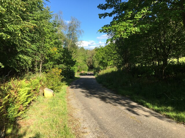
Limekin Plantation is a sprawling woodland located in the picturesque region of Perthshire, Scotland. Situated amidst the stunning landscapes of the Scottish Highlands, this plantation is renowned for its diverse and enchanting forest.
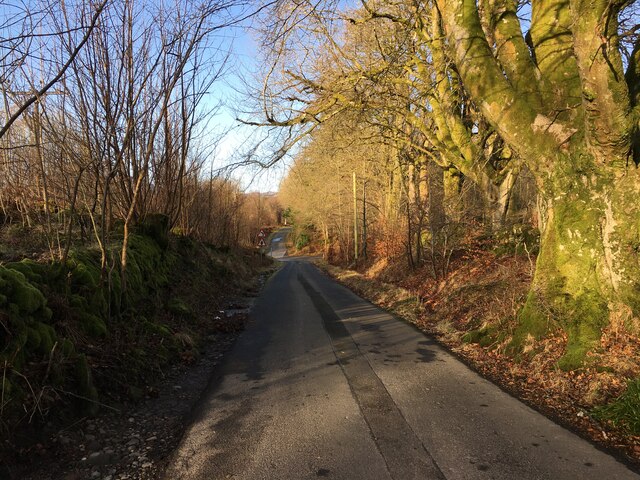
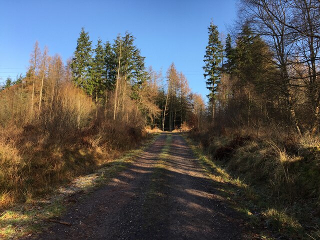
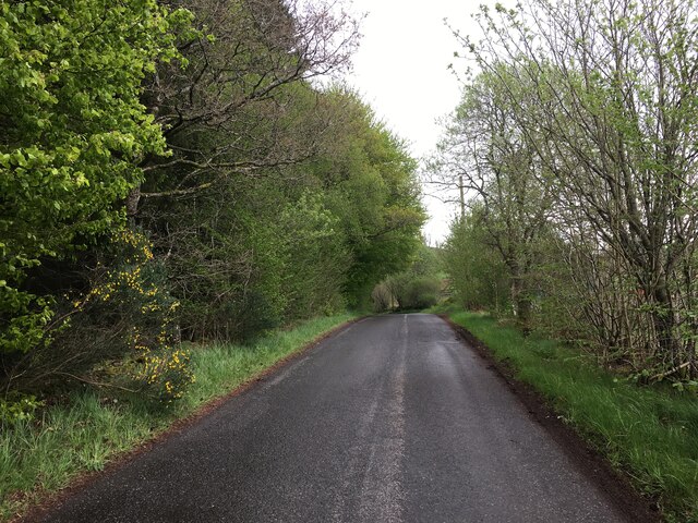
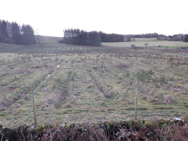
Covering an area of approximately 500 hectares, Limekin Plantation boasts an impressive assortment of trees, including oak, birch, pine, and beech. These majestic trees form a dense canopy that provides shade and shelter to a wide variety of wildlife, making it a haven for nature enthusiasts and wildlife photographers.
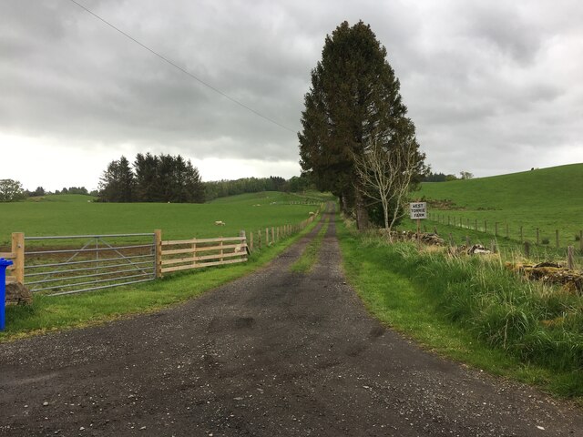
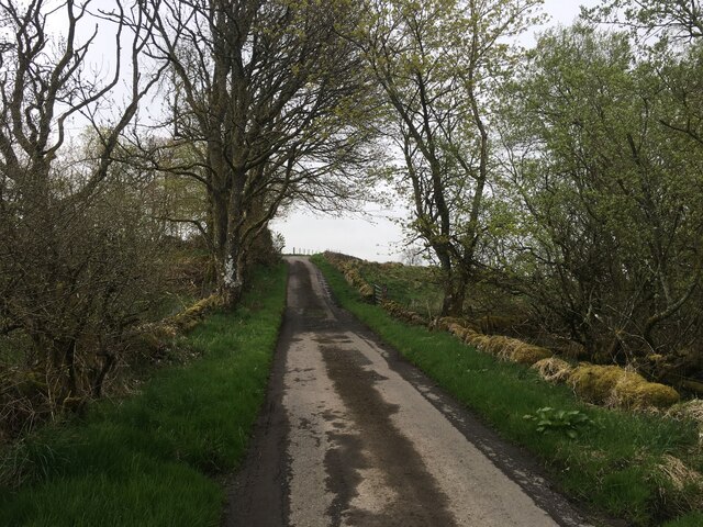
The plantation offers a range of well-maintained walking paths and trails, allowing visitors to explore the woodland at their own pace. These paths wind through the serene forest, leading to hidden glens, babbling brooks, and peaceful picnic spots. The tranquil ambiance of Limekin Plantation makes it an ideal retreat for those seeking solace in nature.
Birdwatchers will also find Limekin Plantation to be a paradise, as it attracts a multitude of feathered species. From the melodious song of the chiffchaff to the fleeting glimpse of a redstart, bird enthusiasts can look forward to spotting a plethora of avian treasures within the woodland's boundaries.
Limekin Plantation is easily accessible by both car and public transportation, with parking facilities available for visitors. The plantation is open year-round, allowing visitors to experience its unique beauty in every season, from the vibrant colors of autumn to the snow-dusted branches of winter.
In conclusion, Limekin Plantation in Perthshire is a captivating woodland that offers a tranquil escape into nature. With its diverse flora and fauna, picturesque walking trails, and serene ambiance, it is a must-visit destination for nature lovers and outdoor enthusiasts alike.
If you have any feedback on the listing, please let us know in the comments section below.
Limekin Plantation Images
Images are sourced within 2km of 56.224805/-4.1560195 or Grid Reference NN6605. Thanks to Geograph Open Source API. All images are credited.


Limekin Plantation is located at Grid Ref: NN6605 (Lat: 56.224805, Lng: -4.1560195)
Unitary Authority: Stirling
Police Authority: Forth Valley
What 3 Words
///suave.passions.robots. Near Callander, Stirling
Nearby Locations
Related Wikis

Cambusmore (Stirling)
Cambusmore is a country house in Stirling, Scotland, located 1 mile (1.6 km) southeast of the town of Callander. Situated on a tributary on the northern...

A84 road
The A84 is a major road in Scotland, United Kingdom. It links the city of Stirling with Lochearnhead, running an approximate 28 miles (45 km). == Road... ==

Bracklinn Falls
The Bracklinn Falls are a series of waterfalls north-east of Callander, Scotland on the course of the Keltie Water, where the river crosses the Highland...

Lanrick Castle
Lanrick Castle was a late 18th-century country house near Doune in central Scotland. It was demolished in 2002 despite being protected as a category B...
McLaren High School
McLaren High School is a state comprehensive, non-denominational secondary school in Callander, central Scotland. It was founded in 1892 by Donald McLaren...
Callander Jazz and Blues Festival
TheCallander Jazz and Blues Festival is a music festival held in the town of Callander in Loch Lomond and the Trossachs National Park, Scotland. It was...

Callander
Callander (; Scottish Gaelic: Calasraid) is a small town in the council area of Stirling, Scotland, situated on the River Teith. The town is located in...

Callander railway station
Callander was a railway station located in Callander, in the council area of Stirling, Scotland. == History == The first station at Callander was a terminus...
Nearby Amenities
Located within 500m of 56.224805,-4.1560195Have you been to Limekin Plantation?
Leave your review of Limekin Plantation below (or comments, questions and feedback).