Cambusbeg West Plantation
Wood, Forest in Perthshire
Scotland
Cambusbeg West Plantation
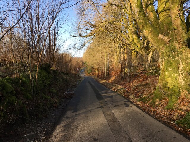
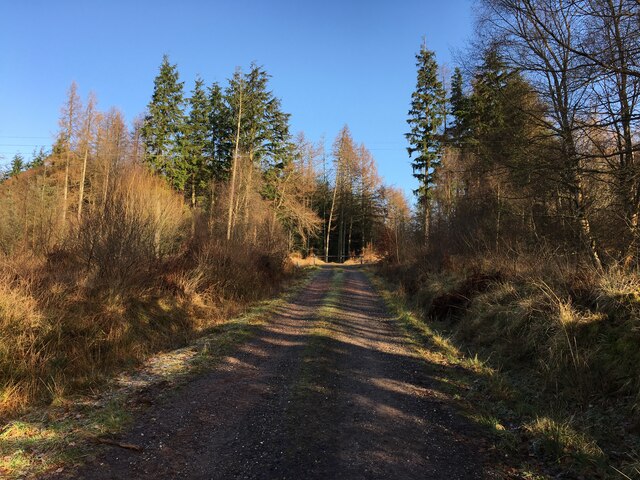
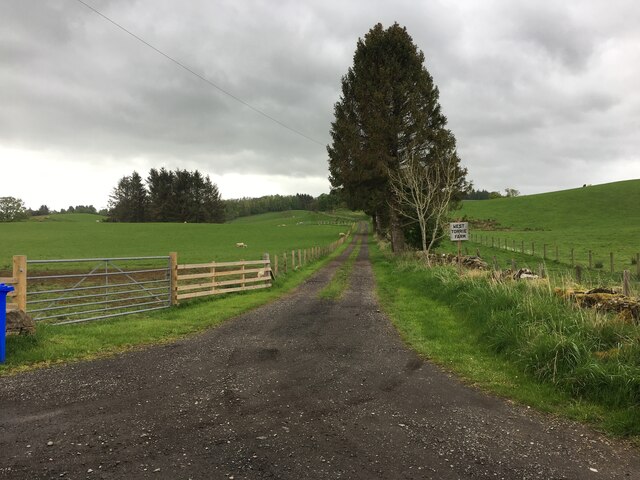
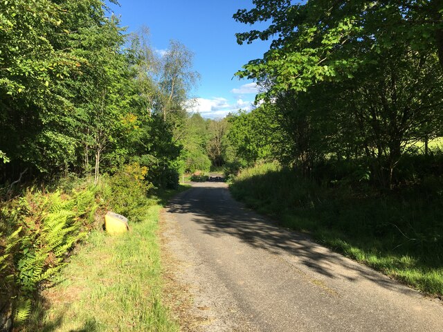
Cambusbeg West Plantation is a sprawling wood located in Perthshire, Scotland. Covering an area of approximately 500 acres, it is a significant forested area that is renowned for its natural beauty and rich biodiversity.
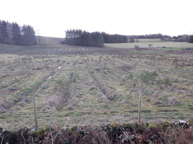
The plantation is predominantly composed of mixed woodland, with a variety of tree species such as oak, birch, and pine. These mature trees provide a dense canopy, creating a peaceful and serene environment for visitors to explore. The forest floor is covered with a vibrant carpet of ferns, mosses, and wildflowers, adding to its picturesque appeal.
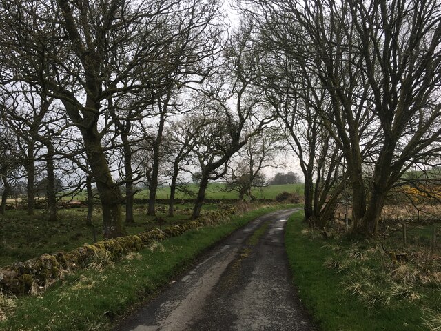
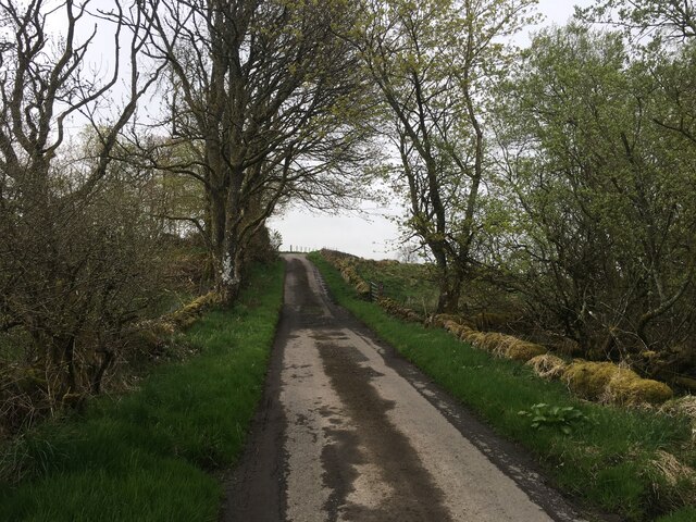
Within Cambusbeg West Plantation, there are several well-maintained trails and paths that wind their way through the woodland, allowing visitors to immerse themselves in nature and observe the diverse wildlife that thrives in the area. The forest is home to a range of bird species, including woodpeckers, owls, and various songbirds. Additionally, small mammals like red squirrels, rabbits, and voles can often be spotted scurrying amongst the undergrowth.
The plantation also boasts a small loch, adding to its scenic charm. The tranquil waters attract waterfowl and provide a peaceful spot for fishing and boating activities. Surrounding the loch, there are designated picnic areas, making it an ideal spot for families and nature enthusiasts to enjoy a day out in the great outdoors.
Overall, Cambusbeg West Plantation is a natural haven that offers a tranquil escape from the hustle and bustle of everyday life. With its diverse flora and fauna, picturesque trails, and serene loch, it is a must-visit destination for those seeking a peaceful retreat amidst the beauty of Perthshire.
If you have any feedback on the listing, please let us know in the comments section below.
Cambusbeg West Plantation Images
Images are sourced within 2km of 56.22419/-4.1516133 or Grid Reference NN6605. Thanks to Geograph Open Source API. All images are credited.


Cambusbeg West Plantation is located at Grid Ref: NN6605 (Lat: 56.22419, Lng: -4.1516133)
Unitary Authority: Stirling
Police Authority: Forth Valley
What 3 Words
///reunion.firm.seducing. Near Callander, Stirling
Nearby Locations
Related Wikis

Cambusmore (Stirling)
Cambusmore is a country house in Stirling, Scotland, located 1 mile (1.6 km) southeast of the town of Callander. Situated on a tributary on the northern...

A84 road
The A84 is a major road in Scotland, United Kingdom. It links the city of Stirling with Lochearnhead, running an approximate 28 miles (45 km). == Road... ==

Lanrick Castle
Lanrick Castle was a late 18th-century country house near Doune in central Scotland. It was demolished in 2002 despite being protected as a category B...

Bracklinn Falls
The Bracklinn Falls are a series of waterfalls north-east of Callander, Scotland on the course of the Keltie Water, where the river crosses the Highland...
Nearby Amenities
Located within 500m of 56.22419,-4.1516133Have you been to Cambusbeg West Plantation?
Leave your review of Cambusbeg West Plantation below (or comments, questions and feedback).