Coille Mhòr

Wood, Forest in Ross-shire

Scotland

Coille Mhòr

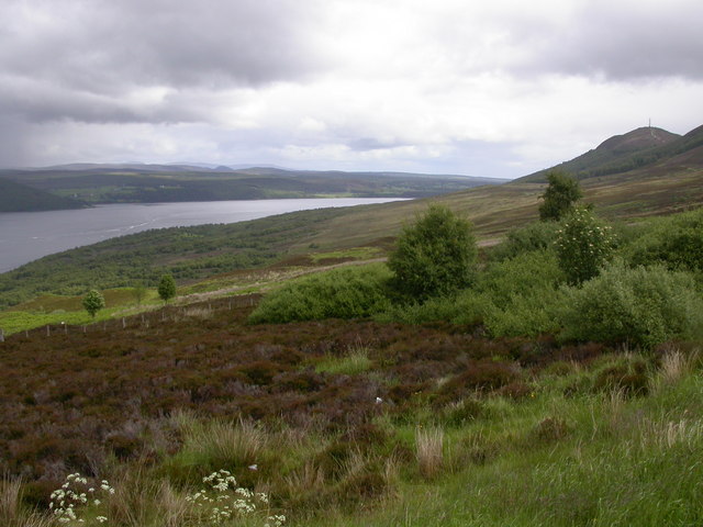
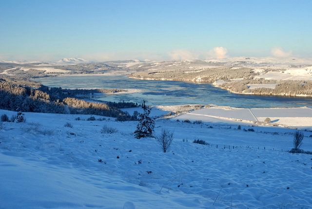
Fields dropping down to Dornoch Firth from Cadha Mor
Fields dropping down to Dornoch Firth from Cadha Mor Credit: Peter Bond

The requested URL returned error: 429 Too Many Requests

If you have any feedback on the listing, please let us know in the comments section below.

Coille Mhòr Images

Images are sourced within 2km of 57.853746/-4.2551176 or Grid Reference NH6687. Thanks to Geograph Open Source API. All images are credited.

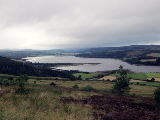
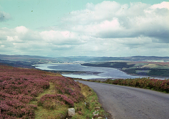
Fields dropping down to Dornoch Firth from Cadha Mor
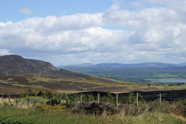
Rough ground east of Struie Viewpoint
Cadha Mor from Struie Hill Perhaps this name can be translated to the 'Big Pass' as the ground leads down from the gap between Struie and Cnoc an Liath bhaid.
Cadha Mor from Struie Hill
Perhaps this name can be translated to the 'Big Pass' as the ground leads down from the gap between Struie and Cnoc an Liath bhaid.
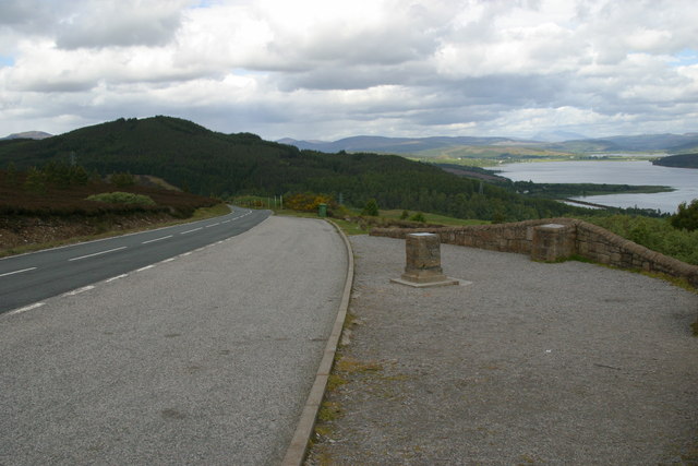
Viewpoint and information cairns at Struie Hill
Down hill all the way
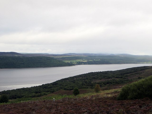
Struie Hill viewpoint A lay-by is provided here so that travellers on the B9176 (formerly the A836) can admire the 'million dollar view' over Dornoch Firth. Sadly on this dull and extremely windy day visibility was not at its best; the strength of the wind can be seen from the angle of the grass in the foreground.
Struie Hill viewpoint
A lay-by is provided here so that travellers on the B9176 (formerly the A836) can admire the 'million dollar view' over Dornoch Firth. Sadly on this dull and extremely windy day visibility was not at its best; the strength of the wind can be seen from the angle of the grass in the foreground.
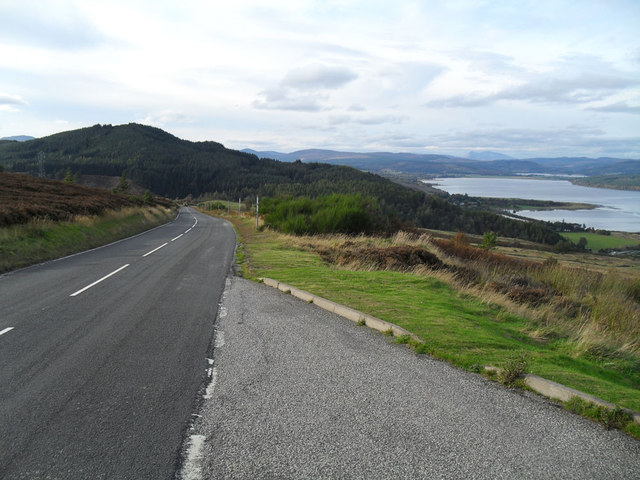
The Kyle of Sutherland, from the Cadha Mòr Looking towards the Kyle from the B9176 as it makes its way down the Cadha Mòr. The photograph was taken before the Struie viewpoint was constructed.
The Kyle of Sutherland, from the Cadha Mòr
Looking towards the Kyle from the B9176 as it makes its way down the Cadha Mòr. The photograph was taken before the Struie viewpoint was constructed.
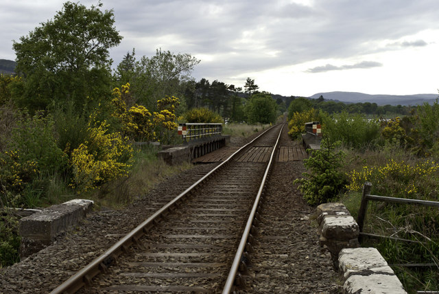
Railway near Easter Fearn Point Long, undulating straight
Railway near Easter Fearn Point
Long, undulating straight
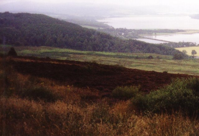
Hillside at Cadha Mor Photograph taken in August 1999
Hillside at Cadha Mor
Photograph taken in August 1999
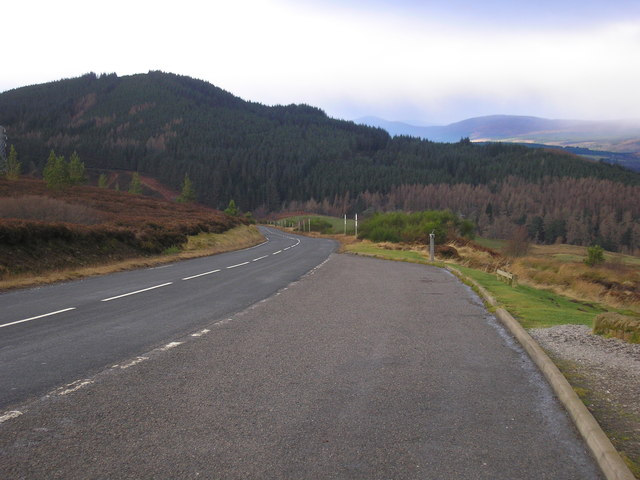
The road approaching the Struie Hill viewpoint
The Million Dollar View The Million Dollar View or as some may call it the Struie View Point.
The Million Dollar View
The Million Dollar View or as some may call it the Struie View Point.
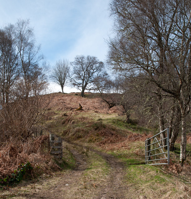
Farm track rising from A836 Scattered trees on a steep slope above the A836 close to the south side of Dornoch Firth.
Farm track rising from A836
Scattered trees on a steep slope above the A836 close to the south side of Dornoch Firth.
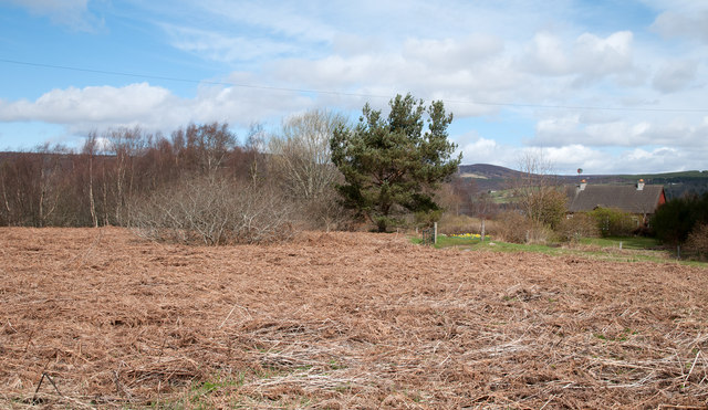
Bracken debris beside A836 Bracken grows high and densely forming a total blanket over land and excluding most other plant life. In the autumn the plants die back tumbling and crumbling through winter to form a mulch through which a new mass of fronds will grow in the spring.
Bracken debris beside A836
Bracken grows high and densely forming a total blanket over land and excluding most other plant life. In the autumn the plants die back tumbling and crumbling through winter to form a mulch through which a new mass of fronds will grow in the spring.
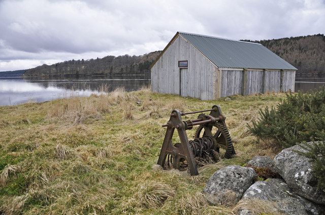
Boat House and old windlass at Easter Fearn Point
Rich farmlands all around and beautiful waters beyond The most western reaches of Dornoch Firth or Kyle of Sutherland, provide a scene to equal so many others in Scotland. This really is a priceless sight. See Donald Bain's <a href="https://www.geograph.org.uk/photo/3447993">NH6585 : The Million Dollar View</a>
Rich farmlands all around and beautiful waters beyond
The most western reaches of Dornoch Firth or Kyle of Sutherland, provide a scene to equal so many others in Scotland. This really is a priceless sight. See Donald Bain's NH6585 : The Million Dollar View
Another view of the Kyle of Sutherland From Cadh Mor.
Another view of the Kyle of Sutherland
From Cadh Mor.
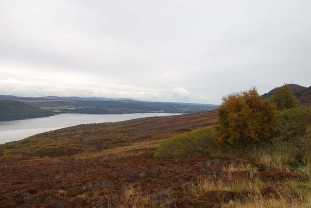
Looking to the East of Struie Viewpoint Although the heather has finished it still looked splendid in its Autumn colours.
Looking to the East of Struie Viewpoint
Although the heather has finished it still looked splendid in its Autumn colours.
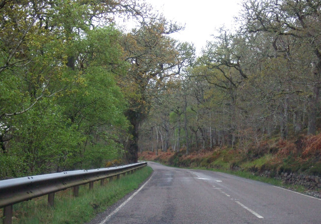
A949 heading west through Ledmore Wood Towards Bonar Bridge.
A949 heading west through Ledmore Wood
Towards Bonar Bridge.
Show me another place!

Coille Mhòr is located at Grid Ref: NH6687 (Lat: 57.853746, Lng: -4.2551176)

Unitary Authority: Highland

Police Authority: Highlands and Islands

What 3 Words

///coiling.obstruct.history. Near Tain, Highland

Nearby Locations

Coille Mhòr

Related Wikis

Easter Fearn

Easter Fearn is a small settlement in the Ross-shire area of the Highland council area in Scotland, on the A836 and B9176 roads it is 3 miles from Ardgay...

Creich

Creich (Scottish Gaelic: Craoich, pronounced [kʰɾɯːç]) is a substantial parish on the north side of the Dornoch Firth the largest settlement being Bonar...

A949 road

The A949 is a major road in Sutherland, in the Highland area of Scotland. It has staggered junctions with the A9. From the A949 the A9 runs (1) generally...

Spinningdale

Spinningdale (Scottish Gaelic: Spainnigeadal) is a hamlet, in the Parish of Creich, on the north shore of the Dornoch Firth in eastern Sutherland, in the...

Nearby Amenities

Located within 500m of 57.853746,-4.2551176
Power: pole
Lat/Long: 57.851531/-4.2599246
Power: pole
Lat/Long: 57.8526357/-4.2587042
Power: pole
Lat/Long: 57.8536176/-4.2576273
Power: pole
Lat/Long: 57.8541571/-4.2570063
Power: pole
Lat/Long: 57.8544354/-4.2558476
Power: pole
Lat/Long: 57.8546494/-4.2549625
Power: pole
Lat/Long: 57.8549391/-4.2538306
Power: pole
Lat/Long: 57.8552331/-4.2525995
Power: pole
Lat/Long: 57.8555242/-4.2514542
Power: pole
Lat/Long: 57.8557626/-4.2504242
Power: pole
Lat/Long: 57.8559995/-4.2495015
Power: pole
Lat/Long: 57.8562406/-4.2485145
The data included in this document is from www.openstreetmap.org. The data is made available under ODbL.

Have you been to Coille Mhòr?

Leave your review of Coille Mhòr below (or comments, questions and feedback).