Toll Belt

Wood, Forest in Ross-shire

Scotland

Toll Belt

Bridge over the Far North Line
Bridge over the Far North Line Credit: Peter Moore

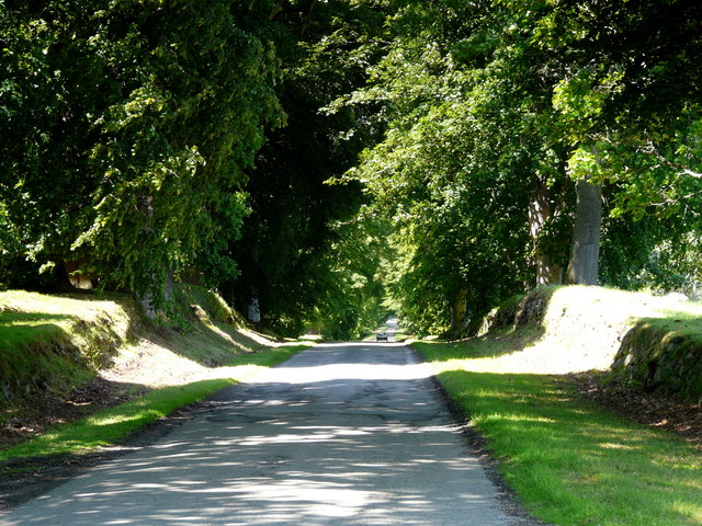
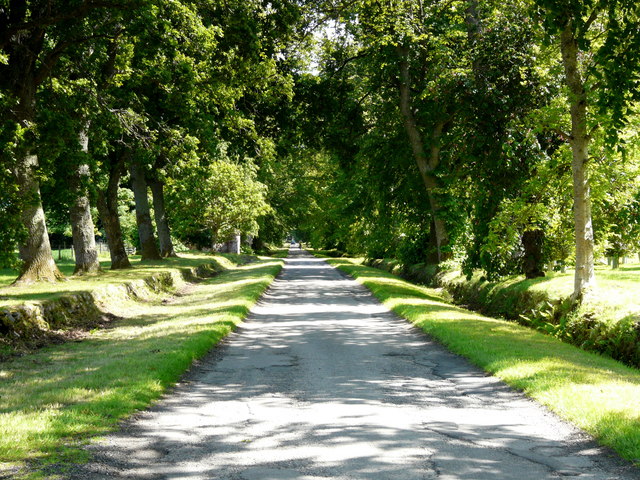
Toll Belt is a woodland located in Ross-shire, a county in the Highlands of Scotland. Situated near the small village of Rosskeen, Toll Belt covers an area of approximately 100 acres and is known for its rich biodiversity and stunning natural beauty.

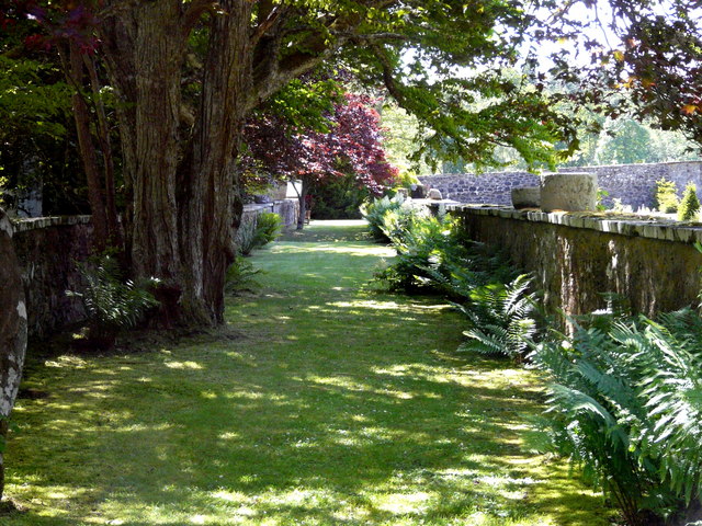
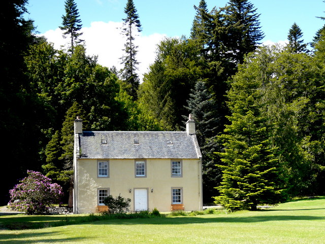
The woodland consists mainly of native tree species such as oak, birch, and Scots pine, creating a diverse and vibrant ecosystem. The dense canopy provides shelter for numerous wildlife species, including red squirrels, roe deer, and a variety of bird species.

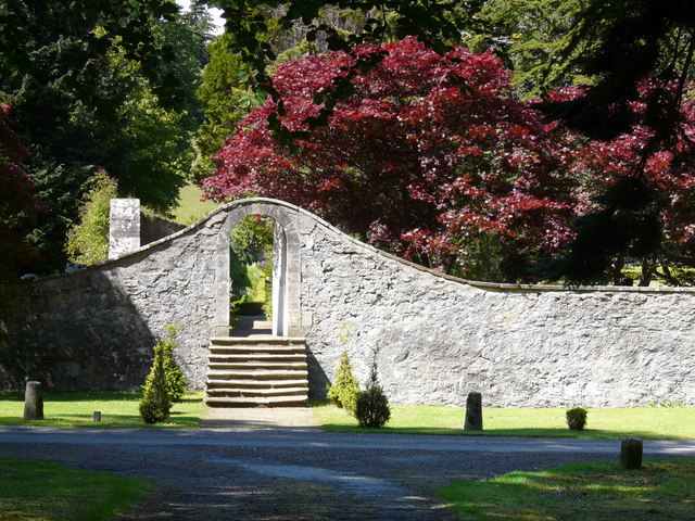
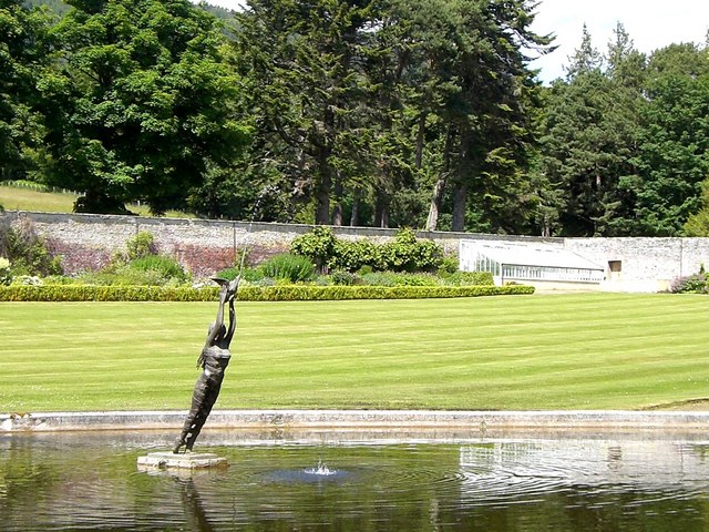
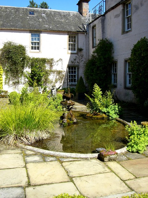
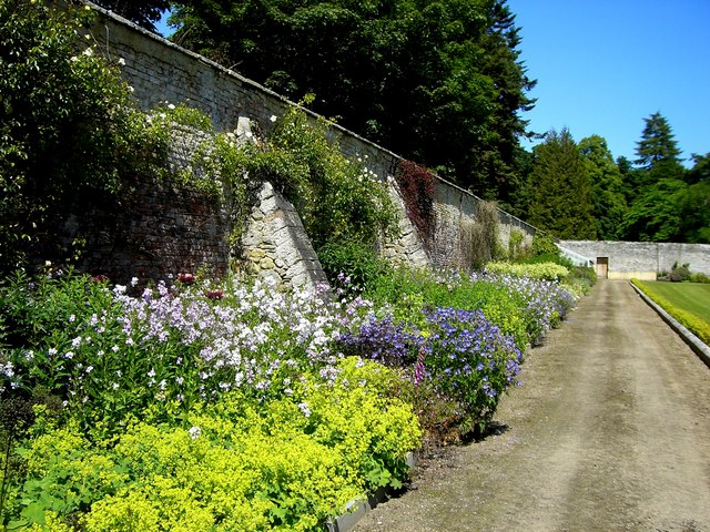
Toll Belt offers visitors a tranquil and peaceful environment, making it a popular destination for nature lovers and outdoor enthusiasts. There are several well-maintained walking trails throughout the woodland, allowing visitors to explore its hidden gems and enjoy the breathtaking views of the surrounding landscape.

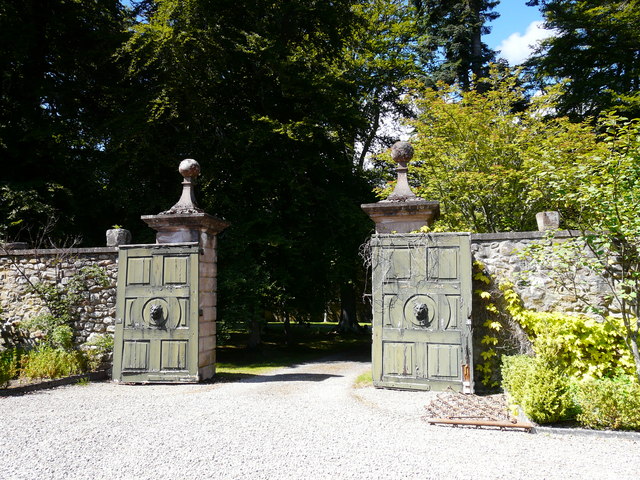
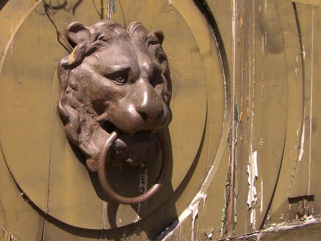
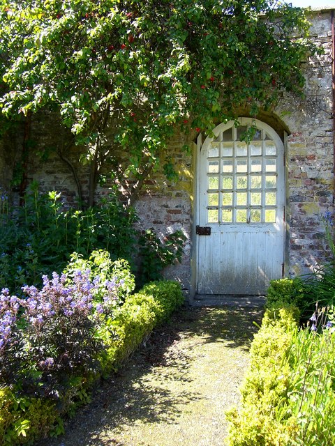
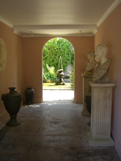
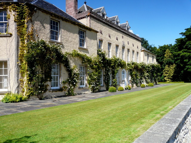
In addition to its natural attractions, Toll Belt also has historical significance. The woodland was once part of an estate owned by the local noble family, and remnants of an old hunting lodge can still be found within its boundaries. This adds an extra layer of charm and intrigue to the area, appealing to those interested in the region's heritage.

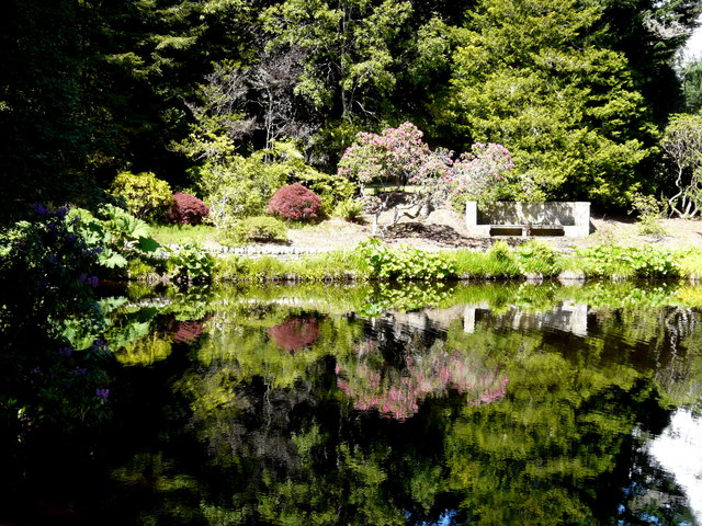
Overall, Toll Belt in Ross-shire is a picturesque woodland that offers a unique blend of natural beauty, wildlife, and historical significance. It is a place where visitors can immerse themselves in nature, relax, and appreciate the wonders of the Scottish Highlands.

If you have any feedback on the listing, please let us know in the comments section below.
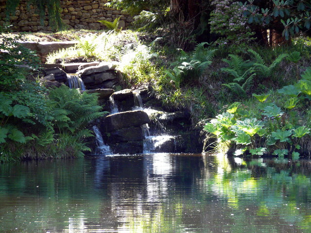
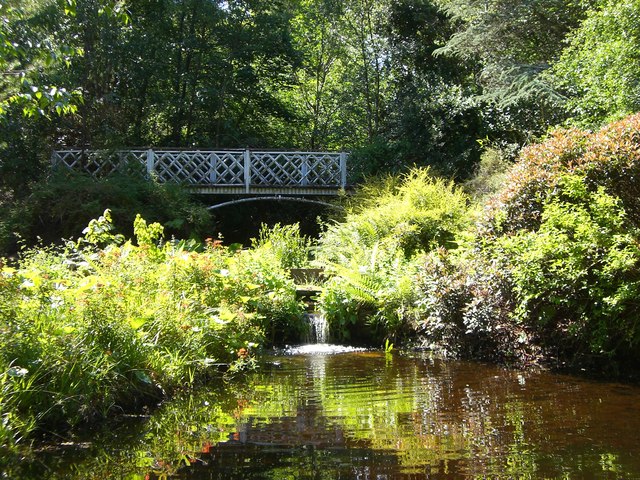
Toll Belt Images

Images are sourced within 2km of 57.68153/-4.3014394 or Grid Reference NH6268. Thanks to Geograph Open Source API. All images are credited.

Bridge over the Far North Line
Driveway to Novar House
Driveway at Novar House A lovely avenue of mature trees.
Driveway at Novar House
A lovely avenue of mature trees.
Garden gates at Novar House
Garden gate at Novar House (detail)
Courtyard at Novar House
Door to the walled garden at Novar House
Garden walkway at Novar House
Pond and fountain at Novar House
Door in the walled garden at Novar House
Courtyard fountain at Novar House
Courtyard at Novar House
Novar House The central plaque bears the motto "Fear God" and the date 1720. The front of the house looks out across the Cromarty Firth to the Black Isle.
Novar House
The central plaque bears the motto "Fear God" and the date 1720. The front of the house looks out across the Cromarty Firth to the Black Isle.
Herbaceous border in the walled garden at Novar House
In the water garden at Novar House
Cottage in the grounds of Novar House A beautifully proportioned vernacular building.
Cottage in the grounds of Novar House
A beautifully proportioned vernacular building.
In the water garden at Novar House
Show me another place!

Toll Belt is located at Grid Ref: NH6268 (Lat: 57.68153, Lng: -4.3014394)

Unitary Authority: Highland

Police Authority: Highlands and Islands

What 3 Words

///beaters.pushes.configure. Near Evanton, Highland

Related Wikis

Fyrish

Fyrish is the name given to an ancient area of land found just north of Evanton, Ross-shire, Scotland. The lands of Fyrish are now part of the Novar Estate...
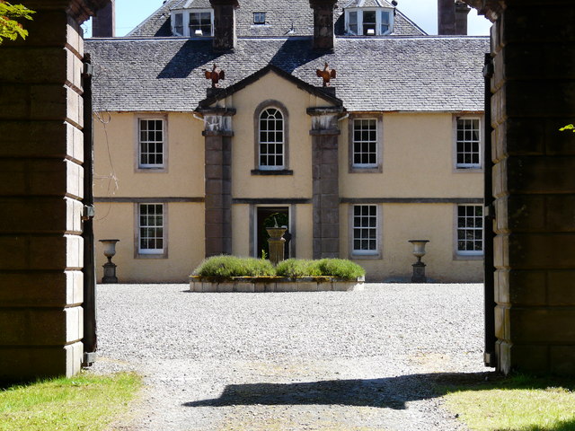
Novar House

Novar House is an 18th-century building, located 0.7 miles north of the village of Evanton in Ross, Scotland. It is built on the site of an earlier castle...

HMS Fieldfare

HMS Fieldfare also known as R.A.F. Landing Ground Novar, then RNAS Evanton and later as RAF Evanton, is a disused airfield in Ross and Cromarty, Scotland...

Evanton railway station

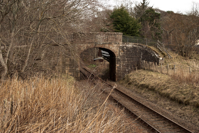
Evanton railway station was a railway station on the Inverness and Ross-shire Railway, on the Inverness to Dingwall section. It was situated to the east...

Nearby Amenities

Located within 500m of 57.68153,-4.3014394
Fuel
Skiach Services
Brand: Gleaner
Compressed Air: yes
Opening Hours: 24/7
Shop: yes
Wheelchair: yes
Lat/Long: 57.6789716/-4.2997835
Bus Stop
Novar Toll
Naptan AtcoCode: 6700713033
Naptan Bearing: NE
Naptan CommonName: Novar Toll
Naptan Indicator: at Skiach Services
Naptan Landmark: Skiach Services
Naptan NaptanCode: 45328468
Naptan Street: A836
Naptan Verified: no
Source: naptan_import
Lat/Long: 57.6792404/-4.2983779
Bus Stop
Novar Toll
Naptan AtcoCode: 6700713033A
Naptan Bearing: SW
Naptan CommonName: Novar Toll
Naptan Indicator: opp Skiach Services
Naptan Landmark: Skiach Services
Naptan NaptanCode: 45329496
Naptan Street: A836
Naptan Verified: no
Source: naptan_import
Lat/Long: 57.679097/-4.2980261
Bus Stop
Novar Toll
Naptan AtcoCode: 670090026
Naptan Bearing: S
Naptan CommonName: Novar Toll
Naptan Indicator: Struy Road Junction
Naptan Landmark: Road Junction
Naptan NaptanCode: 45323256
Naptan Street: B817
Naptan Verified: no
Source: naptan_import
Lat/Long: 57.6818964/-4.2972639
Addr Housename: Finlayview
Lat/Long: 57.68099/-4.2964317
Tourism: picnic_site
Lat/Long: 57.6789935/-4.2989388
Power: pole
Lat/Long: 57.6822104/-4.2968773
Power: pole
Lat/Long: 57.6832199/-4.2985382
The data included in this document is from www.openstreetmap.org. The data is made available under ODbL.

Have you been to Toll Belt?

Leave your review of Toll Belt below (or comments, questions and feedback).