Lennieston Muir
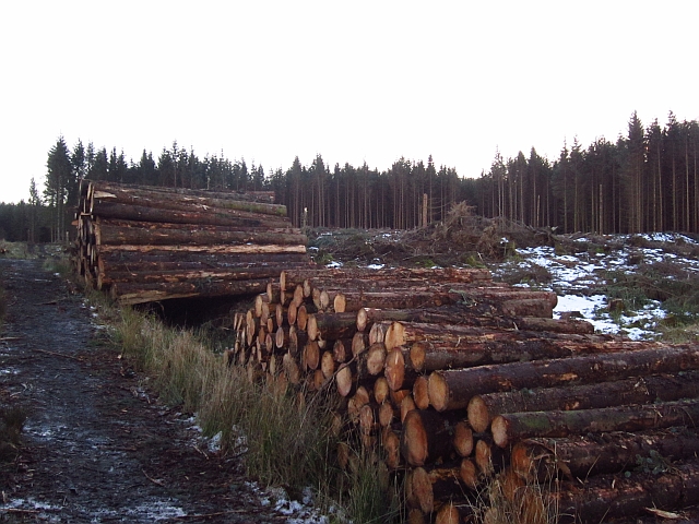
Wood, Forest in Perthshire
Scotland
Lennieston Muir
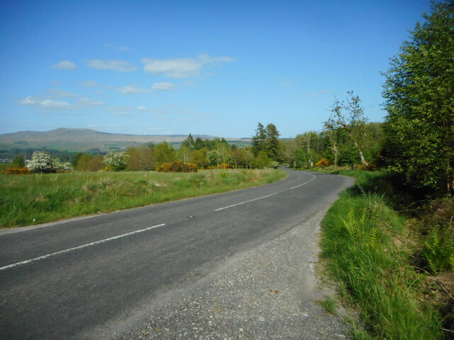
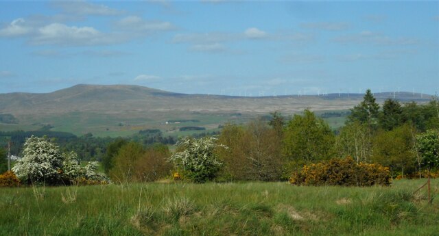
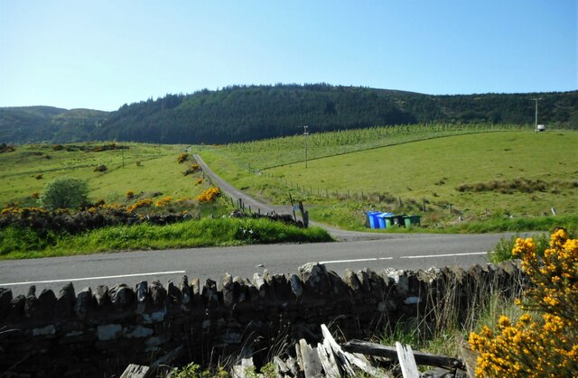
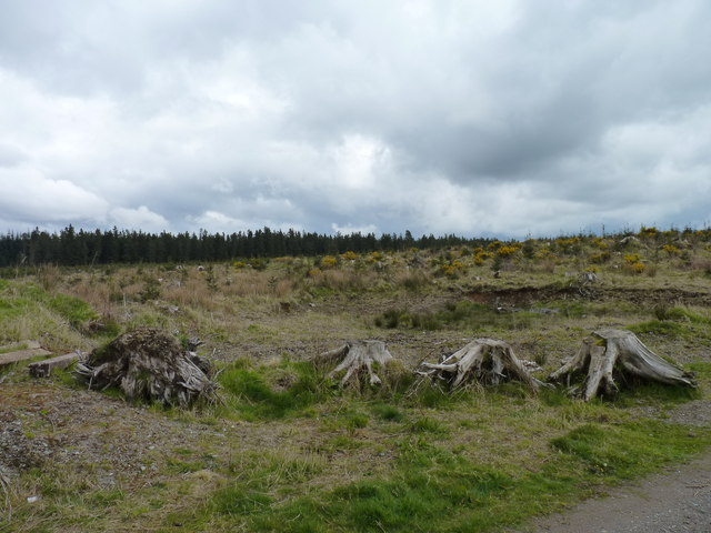
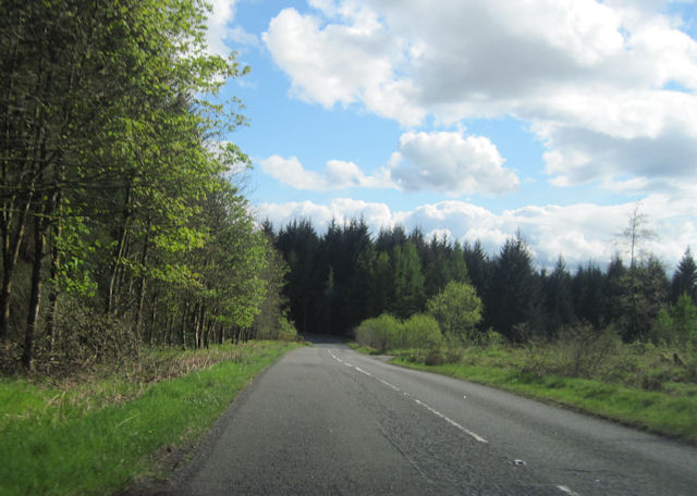
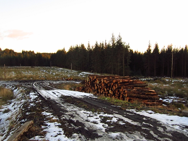
Lennieston Muir is a picturesque woodland located in the region of Perthshire, Scotland. Spanning over a vast area, it is renowned for its natural beauty and diverse ecosystem. The muir is situated in close proximity to the village of Lennieston, providing locals and visitors with easy access to its stunning surroundings.
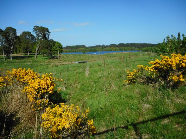
Lennieston Muir is predominantly covered in a dense forest, characterized by a variety of tree species such as oak, birch, and pine. The towering trees create a tranquil and serene atmosphere, offering a perfect escape from the hustle and bustle of everyday life. The forest floor is adorned with a rich carpet of moss, ferns, and vibrant wildflowers, adding to its enchanting appeal.
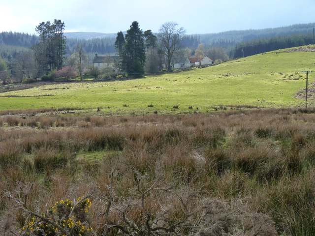
The muir is home to an abundance of wildlife, making it a haven for nature lovers and wildlife enthusiasts. Birdwatchers can spot numerous species, including woodpeckers, owls, and various songbirds. Squirrels, badgers, and deer also roam freely within the woodland, providing a glimpse into the natural habitat of these animals.
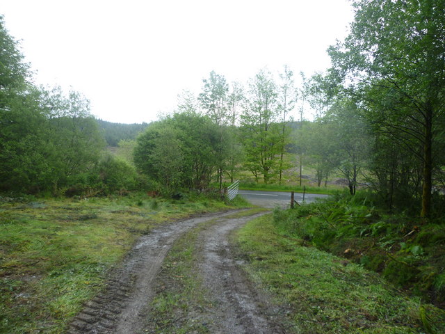
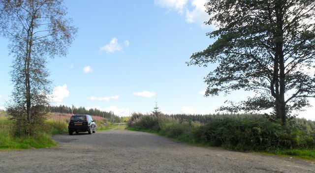
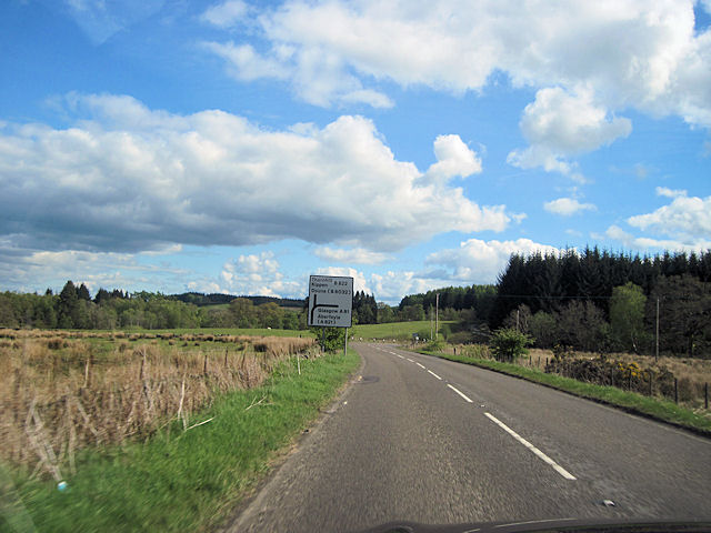
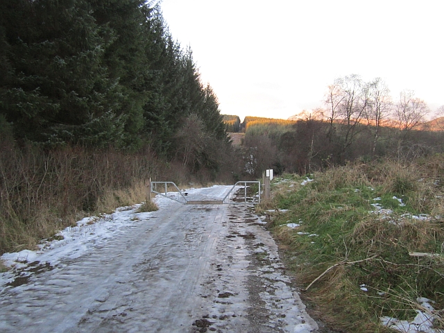
For those seeking outdoor activities, Lennieston Muir offers a network of well-maintained walking trails, allowing visitors to explore the forest at their own pace. These trails meander through the woodland, offering breathtaking views and opportunities to spot wildlife along the way. The muir is also a popular destination for camping, picnicking, and photography, providing ample opportunities for visitors to immerse themselves in the beauty of nature.
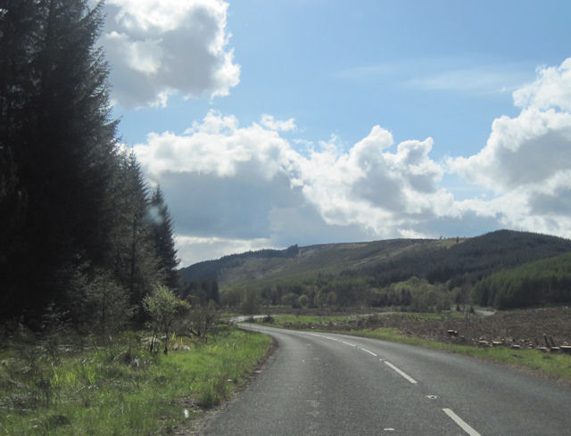
Overall, Lennieston Muir in Perthshire is a captivating woodland that showcases the natural splendor of Scotland. With its diverse flora and fauna, well-marked trails, and tranquil atmosphere, it is a must-visit destination for anyone seeking solace and a connection with nature.
If you have any feedback on the listing, please let us know in the comments section below.
Lennieston Muir Images
Images are sourced within 2km of 56.203581/-4.2128697 or Grid Reference NN6203. Thanks to Geograph Open Source API. All images are credited.
Lennieston Muir is located at Grid Ref: NN6203 (Lat: 56.203581, Lng: -4.2128697)
Unitary Authority: Stirling
Police Authority: Forth Valley
What 3 Words
///tricycle.client.plus. Near Callander, Stirling
Nearby Locations
Related Wikis

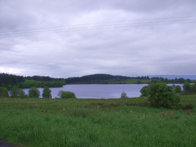
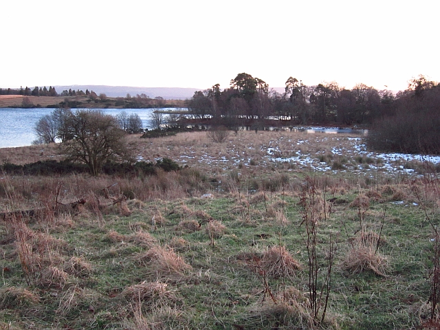
Loch Rusky
Loch Rusky is a small freshwater loch near Callander in the Stirling council area in Scottish Highlands. == Geography == The lake lies in the Registration...

Rusky Castle
Rusky Castle, also known as Ruskie Castle, is a ruined castle on an islet on Loch Rusky, Stirling, Scotland. The islet is now submerged. The castle was...
Ruskie
Ruskie is a hamlet in Stirling, Scotland. It is located 4.5 kilometres (2+3⁄4 mi) from Thornhill. It lies within the FK postcode area. == About the... ==

Cambusmore (Stirling)
Cambusmore is a country house in Stirling, Scotland, located 1 mile (1.6 km) southeast of the town of Callander. Situated on a tributary on the northern...
McLaren High School
McLaren High School is a state comprehensive, non-denominational secondary school in Callander, central Scotland. It was founded in 1892 by Donald McLaren...

A84 road
The A84 is a major road in Scotland, United Kingdom. It links the city of Stirling with Lochearnhead, running an approximate 28 miles (45 km). == Road... ==
Eas Gobhain
Eas Gobhain is a river in the Trossachs of Scotland just west of Callander . It is the outflow of Loch Venachar and joins with Garbh Uisge west of Callander...
Callander Jazz and Blues Festival
TheCallander Jazz and Blues Festival is a music festival held in the town of Callander in Loch Lomond and the Trossachs National Park, Scotland. It was...
Nearby Amenities
Located within 500m of 56.203581,-4.2128697Have you been to Lennieston Muir?
Leave your review of Lennieston Muir below (or comments, questions and feedback).