Carfury
Settlement in Cornwall
England
Carfury
The requested URL returned error: 429 Too Many Requests
If you have any feedback on the listing, please let us know in the comments section below.
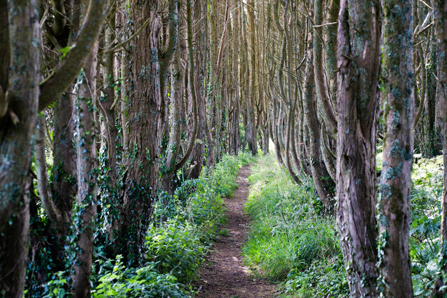
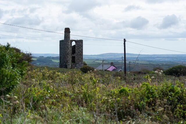
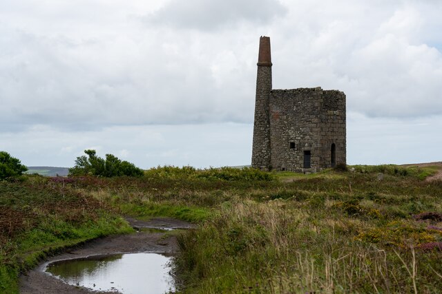
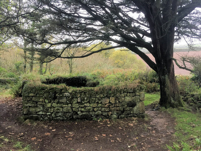
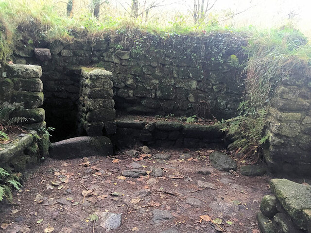
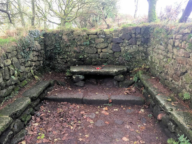
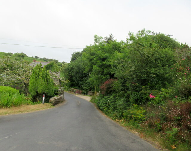
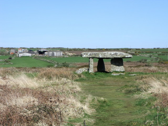
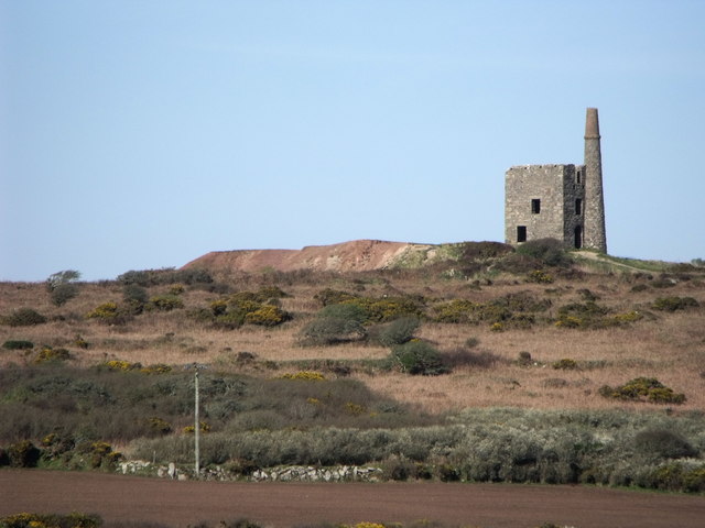
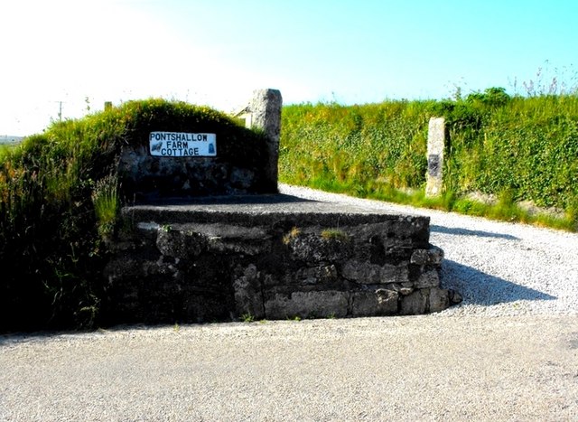
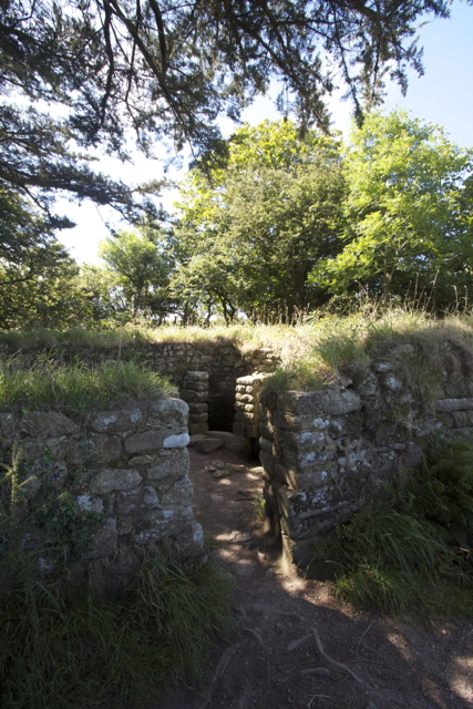
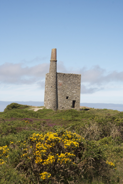
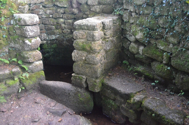
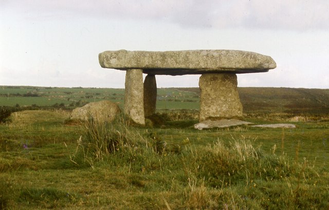
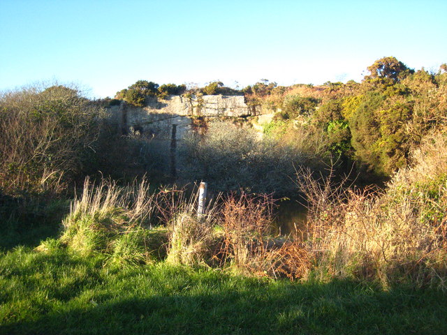
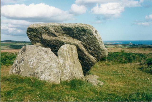
Carfury Images
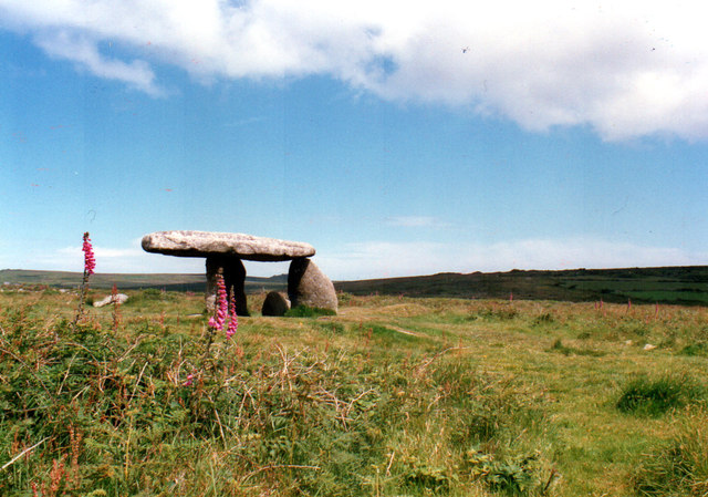
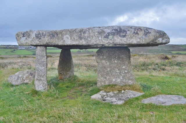
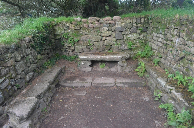
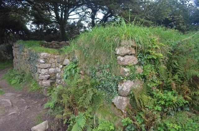
Images are sourced within 2km of 50.151748/-5.576719 or Grid Reference SW4434. Thanks to Geograph Open Source API. All images are credited.
Carfury is located at Grid Ref: SW4434 (Lat: 50.151748, Lng: -5.576719)
Unitary Authority: Cornwall
Police Authority: Devon and Cornwall
What 3 Words
///timing.soap.gums. Near Penzance, Cornwall
Nearby Locations
Related Wikis
Carfury
Carfury is a hamlet in west Cornwall, England, United Kingdom. It is situated in Penwith approximately three miles (5 km) northwest of Penzance. It is...

Carfury Standing Stone
Carfury Standing Stone is a standing stone in Penwith, Cornwall, about 4km northwest of Penzance. Also called Cuckoo Rock, the stone stands around 3m tall...

Boskednan
Boskednan (Cornish: Boskednan) is a hamlet near Mulfra Hill northwest of Penzance in west Cornwall, England, United Kingdom. It is in the civil parish...
Mulfra
Mulfra is a hamlet in the parish of Madron, Cornwall, England and is on the southern slope of Mulfra Hill. Nearby is the Scheduled monument, Mulfra Quoit...
Nearby Amenities
Located within 500m of 50.151748,-5.576719Have you been to Carfury?
Leave your review of Carfury below (or comments, questions and feedback).